Lucky Dogs Point
Coastal Feature, Headland, Point in Yorkshire Scarborough
England
Lucky Dogs Point
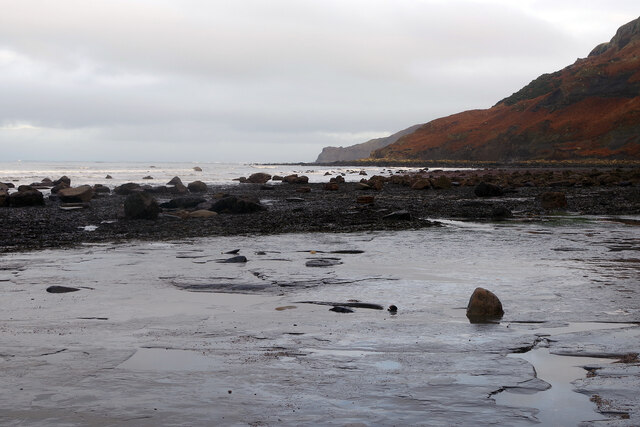
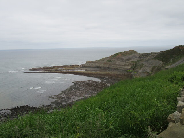
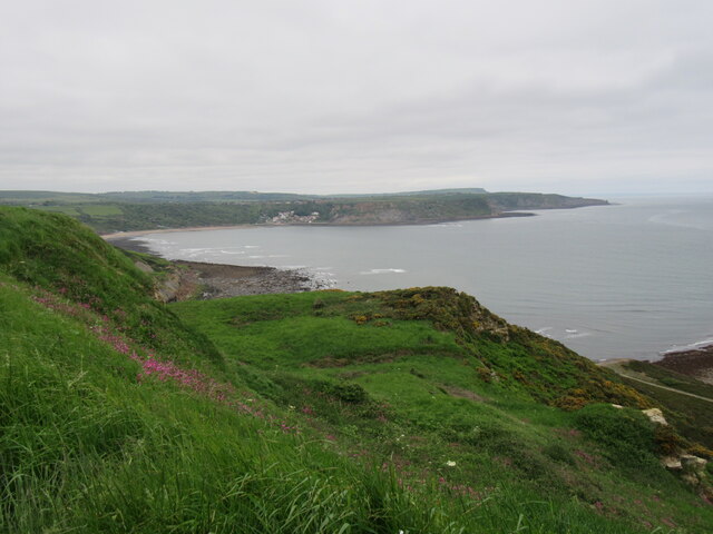
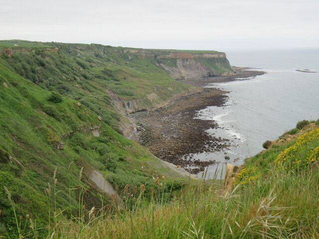
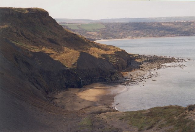
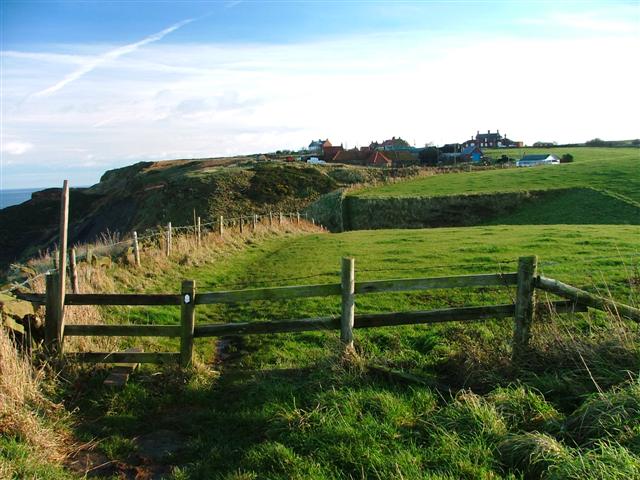
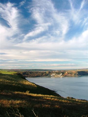
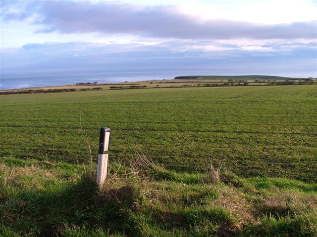
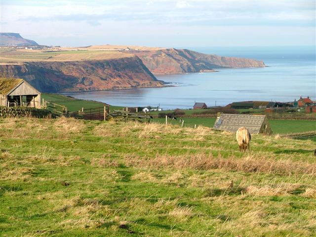
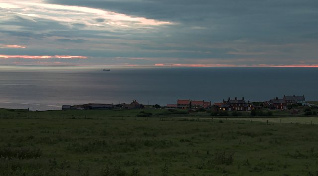
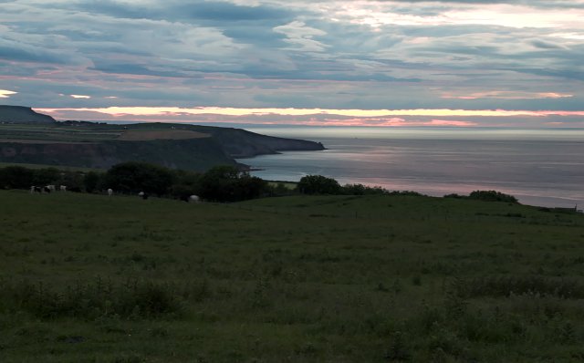
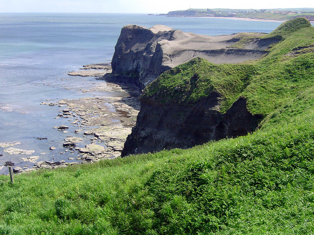
Lucky Dogs Point is a prominent headland located on the Yorkshire coast in England. Situated between the towns of Scarborough and Filey, this coastal feature is known for its stunning natural beauty and unique geological formations.
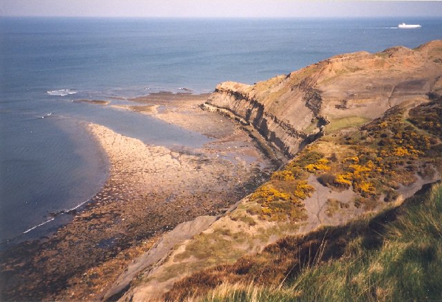
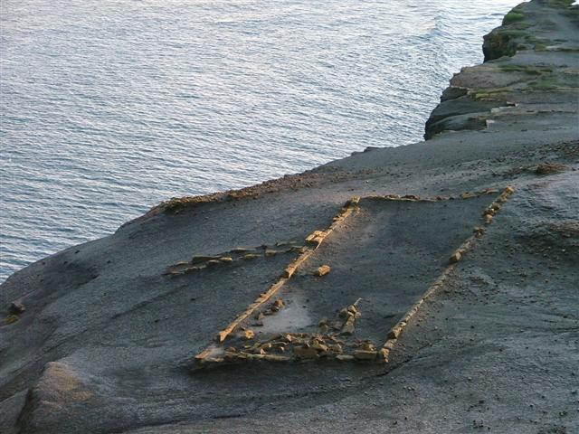
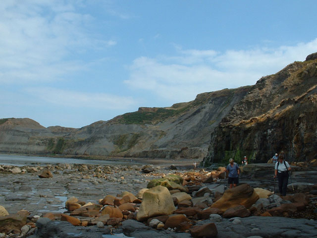
Rising majestically from the North Sea, Lucky Dogs Point offers breathtaking panoramic views of the surrounding area. Its elevation provides a vantage point from which visitors can observe the vast expanse of the ocean and appreciate the rugged coastline stretching out in both directions. The headland is characterized by towering cliffs, which have been sculpted by the forces of wind and waves over millennia, showcasing the area's geological history.
The name "Lucky Dogs Point" is believed to have originated from a local legend about a shipwreck that occurred off the coast. According to the tale, a group of dogs from the ship managed to swim to this point, hence the name.
The headland is a popular destination for nature enthusiasts and outdoor adventurers. Hiking trails wind through the surrounding countryside, allowing visitors to explore the diverse flora and fauna that inhabit the area. Lucky Dogs Point is also a haven for birdwatchers, as it serves as a nesting site for various seabirds, including puffins and gulls.
In addition to its natural allure, Lucky Dogs Point offers a peaceful and serene atmosphere, making it an ideal spot for relaxation and contemplation. Visitors can enjoy a picnic on the grassy knolls overlooking the sea or simply sit and watch the waves crashing against the cliffs.
Overall, Lucky Dogs Point is a captivating coastal feature that showcases the raw beauty of the Yorkshire coastline, offering an unforgettable experience for all who visit.
If you have any feedback on the listing, please let us know in the comments section below.
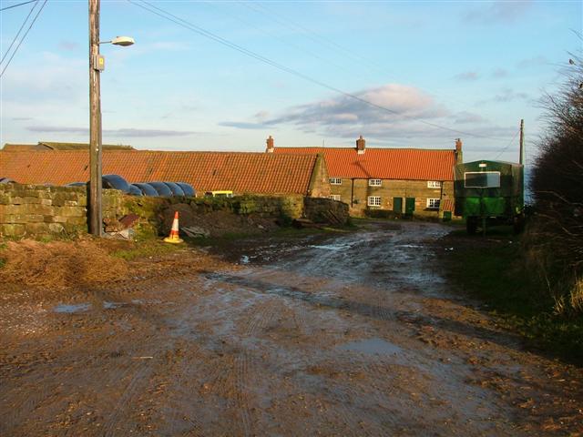
Lucky Dogs Point Images
Images are sourced within 2km of 54.53068/-0.70894667 or Grid Reference NZ8315. Thanks to Geograph Open Source API. All images are credited.
Lucky Dogs Point is located at Grid Ref: NZ8315 (Lat: 54.53068, Lng: -0.70894667)
Division: North Riding
Administrative County: North Yorkshire
District: Scarborough
Police Authority: North Yorkshire
What 3 Words
///waking.frame.funky. Near Whitby, North Yorkshire
Nearby Locations
Related Wikis

Kettleness railway station
Kettleness was a railway station on the Whitby, Redcar and Middlesbrough Union Railway from 1883 to 1958 serving the remote village of Kettleness. The...

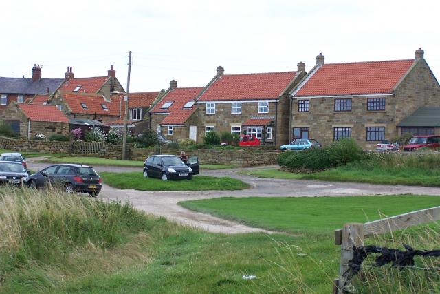
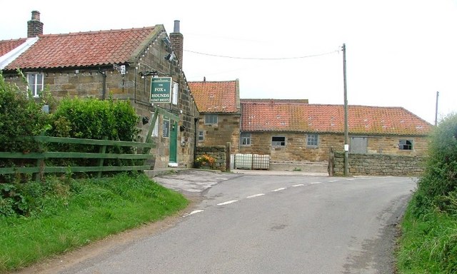
Kettleness
Kettleness, is a hamlet in the Scarborough District of North Yorkshire, England. The settlement only consists of half-a-dozen houses, but up until the...
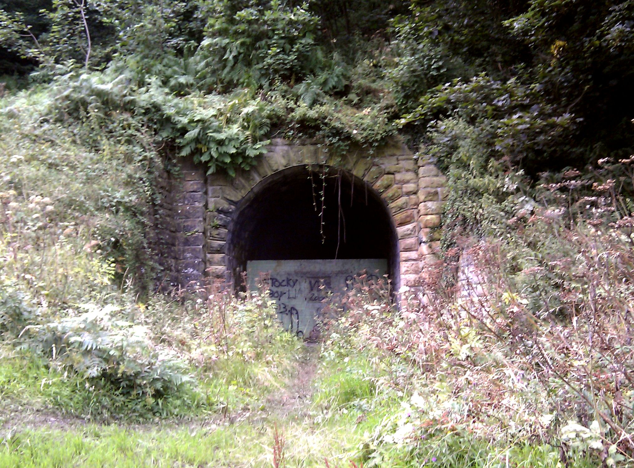
Sandsend Tunnel
Sandsend Tunnel is a tunnel on the former Whitby, Redcar and Middlesbrough Union Railway that was opened in 1883 and closed in 1958. The rail line that...
Goldsborough, Scarborough
Goldsborough is a small hamlet in the civil parish of Lythe, North Yorkshire, England within the North York Moors National Park. It is situated a few miles...

RAF Goldsborough
Royal Air Force Goldsborough or more simply RAF Goldsborough is a former Royal Air Force station located in North Yorkshire, England. == History == It...

Hob Holes
The Hob Holes are caves in the cliffs of Runswick Bay, Scarborough, England which resulted from mining for jet – fossilised wood which is valuable as a...

Runswick Bay Lifeboat Station
Runswick Bay Lifeboat Station was a Royal National Lifeboat Institution (RNLI) lifeboat station located in Runswick Bay in North Yorkshire, England. The...
Sandsend Ness
Sandsend Ness is an old alum quarrying site close to Whitby in North Yorkshire, England. Beneath extensive deposits of grey pyritic shale a thin band of...
Nearby Amenities
Located within 500m of 54.53068,-0.70894667Have you been to Lucky Dogs Point?
Leave your review of Lucky Dogs Point below (or comments, questions and feedback).