Ruir Taing
Coastal Feature, Headland, Point in Shetland
Scotland
Ruir Taing
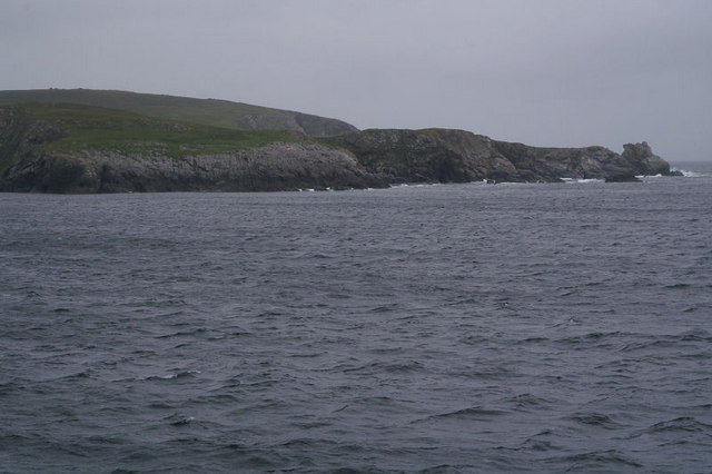
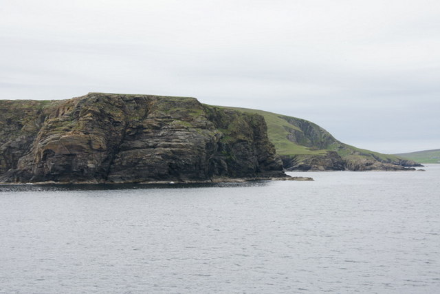
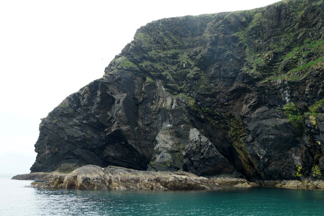
Ruir Taing is a prominent coastal feature located in the Shetland archipelago, situated in the northernmost part of Scotland. It is a headland or point that juts out into the North Sea, forming a notable geographical feature in the landscape of Shetland.
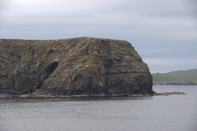
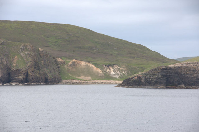
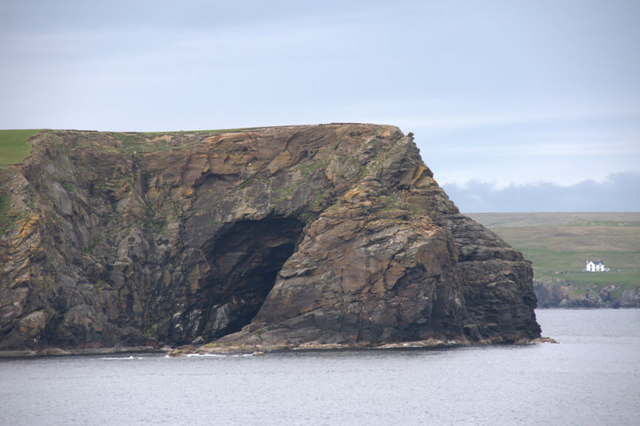
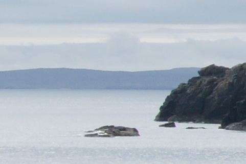
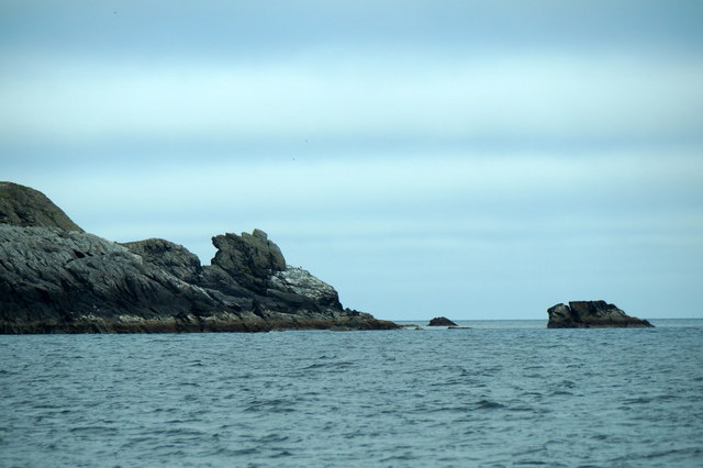
Ruir Taing is characterized by its rugged and rocky terrain, with steep cliffs that rise up from the sea. The headland is composed of various types of rock, including sandstone and shale, which have been shaped and eroded by the relentless force of the ocean waves over time. The cliffs provide an impressive backdrop against the crashing waves, creating a picturesque and dramatic scene.
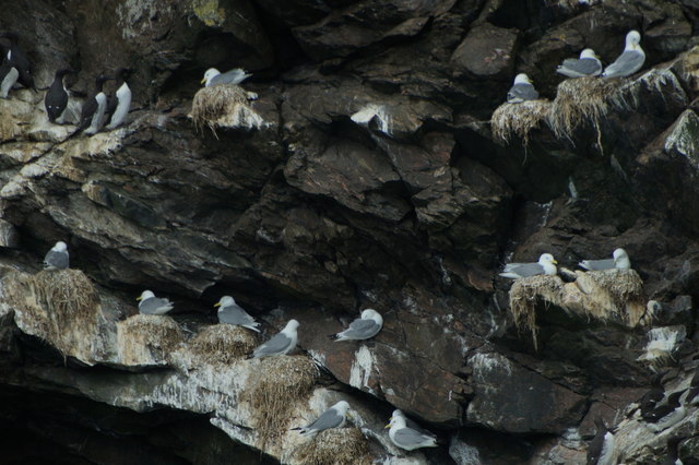
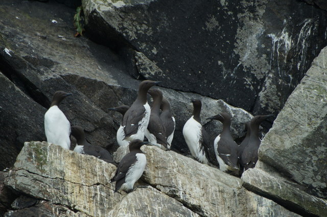
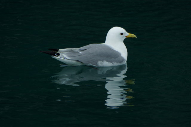
The headland offers stunning panoramic views of the surrounding coastline and the vast expanse of the North Sea. On a clear day, visitors can see the horizon stretching out into the distance, with the occasional sighting of passing ships or seabirds soaring overhead. The area is known for its diverse birdlife, including puffins, fulmars, and kittiwakes, making it a popular spot for birdwatching enthusiasts.
Ruir Taing is also a significant historical site, with evidence of human occupation dating back thousands of years. Archaeological discoveries have revealed the presence of ancient settlements and burial grounds in the vicinity, providing valuable insights into the history and culture of the region.
Overall, Ruir Taing is a captivating coastal feature in Shetland, offering both natural beauty and historical significance. Its striking cliffs, panoramic views, and rich cultural heritage make it a must-visit destination for nature lovers and history enthusiasts alike.
If you have any feedback on the listing, please let us know in the comments section below.
Ruir Taing Images
Images are sourced within 2km of 60.564617/-0.87782339 or Grid Reference HU6187. Thanks to Geograph Open Source API. All images are credited.


Ruir Taing is located at Grid Ref: HU6187 (Lat: 60.564617, Lng: -0.87782339)
Unitary Authority: Shetland Islands
Police Authority: Highlands and Islands
What 3 Words
///dragon.seducing.burn. Near Houbie, Shetland Islands
Nearby Locations
Related Wikis

Fetlar
Fetlar is one of the North Isles of Shetland, Scotland, with a usually resident population of 61 at the time of the 2011 census. Its main settlement is...

Haltadans
Haltadans, also known as Fairy Ring or Haltadans stone circle, is a stone circle on the island of Fetlar in Shetland, Scotland. This site is a ring of...

Brough Lodge
Brough Lodge is a 19th-century Gothic mansion on Fetlar, one of the Shetland Islands, in northern Scotland. Built by the Nicolson family, who were responsible...

Funzie Girt
Funzie Girt (; Scots: Funyie Girt "Finns' dyke") is an ancient dividing wall that was erected from north to south across the island of Fetlar in Shetland...
Have you been to Ruir Taing?
Leave your review of Ruir Taing below (or comments, questions and feedback).