Taing Geos
Coastal Feature, Headland, Point in Shetland
Scotland
Taing Geos
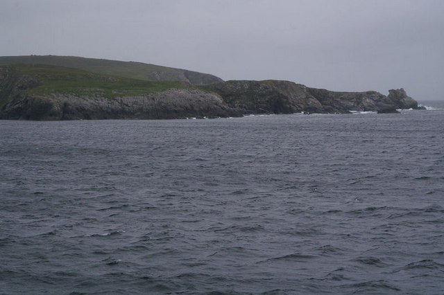
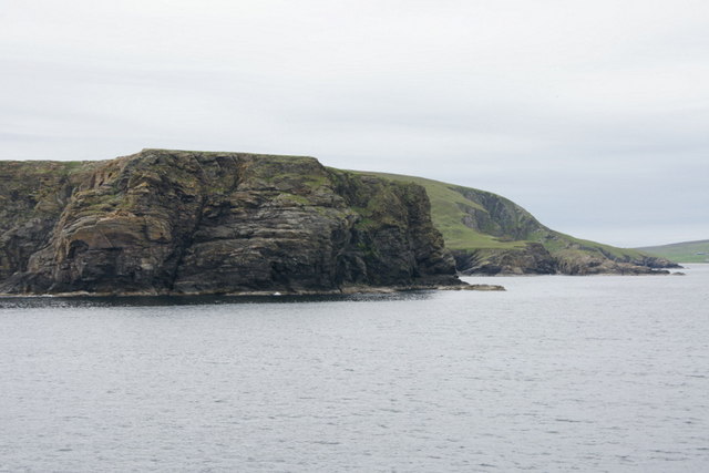
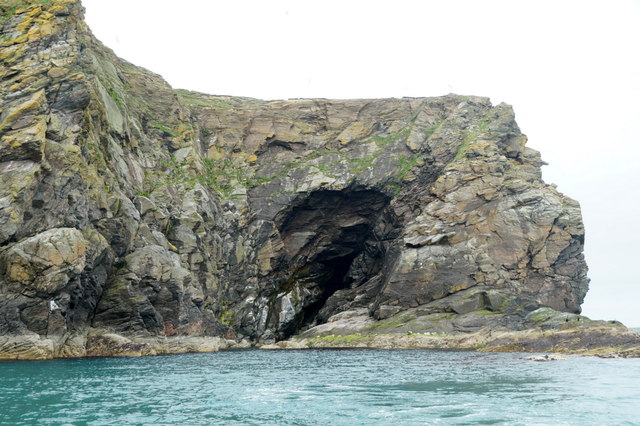
Taing Geos is a prominent coastal feature located in Shetland, an archipelago in Scotland. It is a headland that extends out into the North Sea, forming a distinct point along the rugged coastline. The name "Taing Geos" derives from the Shetland dialect, with "Taing" meaning a promontory or headland, and "Geos" referring to narrow inlets or gorges.
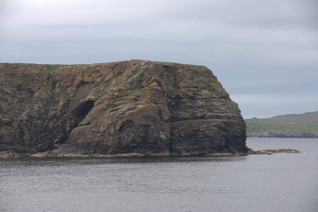
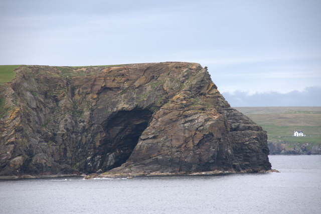
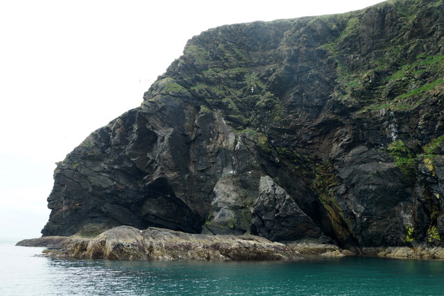
The headland of Taing Geos is characterized by its steep cliffs, which rise dramatically from the sea to considerable heights. The cliffs are composed of sedimentary rocks, displaying layers of sandstone and shale that have been shaped and eroded by the relentless action of the waves over thousands of years. The ruggedness of the terrain adds to the striking beauty of the area, attracting visitors and nature enthusiasts alike.
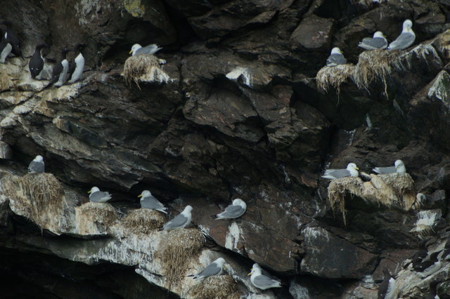
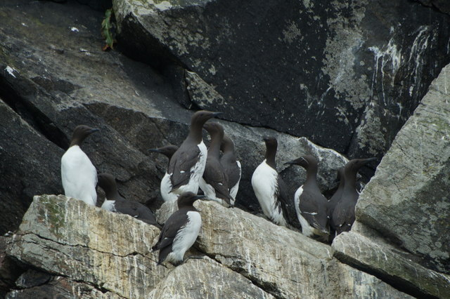
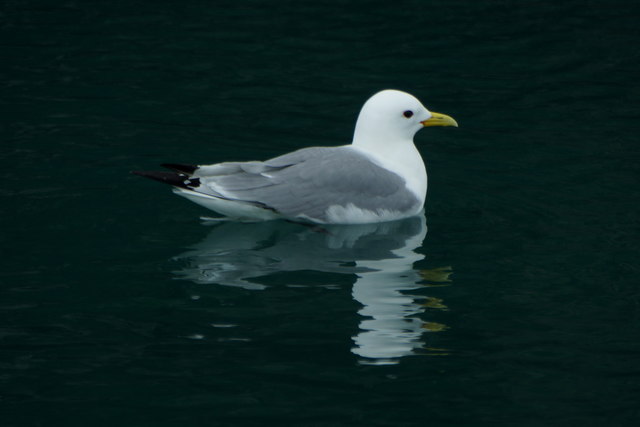
Taing Geos is also known for its diverse range of flora and fauna. Along the cliff edges, various seabirds can be spotted nesting, including guillemots, kittiwakes, and fulmars. The surrounding waters are home to a variety of marine life, such as seals, dolphins, and even occasional sightings of whales.
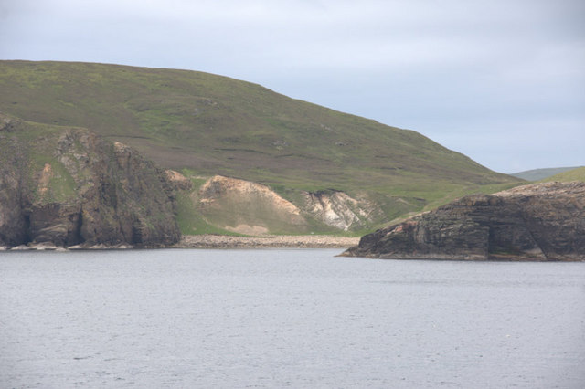
Due to its picturesque scenery and abundant wildlife, Taing Geos is a popular spot for outdoor activities such as hiking, birdwatching, and photography. Visitors can enjoy breathtaking views of the surrounding coastline, with the adjacent sea providing a stunning backdrop. The headland's secluded and tranquil atmosphere also offers a peaceful retreat for those seeking solitude or a moment of reflection.
Overall, Taing Geos stands as a remarkable coastal feature in Shetland, showcasing the raw beauty and natural wonders of this remote Scottish archipelago.
If you have any feedback on the listing, please let us know in the comments section below.
Taing Geos Images
Images are sourced within 2km of 60.563525/-0.8857959 or Grid Reference HU6187. Thanks to Geograph Open Source API. All images are credited.


Taing Geos is located at Grid Ref: HU6187 (Lat: 60.563525, Lng: -0.8857959)
Unitary Authority: Shetland Islands
Police Authority: Highlands and Islands
What 3 Words
///skewed.timed.carry. Near Houbie, Shetland Islands
Nearby Locations
Related Wikis

Fetlar
Fetlar (Scots: Fetlar) is one of the North Isles of Shetland, Scotland, with a usually resident population of 61 at the time of the 2011 census. Its main...

Haltadans
Haltadans, also known as Fairy Ring or Haltadans stone circle, is a stone circle on the island of Fetlar in Shetland, Scotland. This site is a ring of...

Brough Lodge
Brough Lodge is a 19th-century Gothic mansion on Fetlar, one of the Shetland Islands, in northern Scotland. Built by the Nicolson family, who were responsible...

Funzie Girt
Funzie Girt (; Scots: Funyie Girt "Finns' dyke") is an ancient dividing wall that was erected from north to south across the island of Fetlar in Shetland...

Urie Lingey
For other islands with similar names, see Linga (disambiguation) Urie Lingey is one of the Shetland Islands. It is between Fetlar and Unst, and Yell is...

Hamars Ness
Hamars Ness is a headland on the island of Fetlar in Shetland, Scotland. The name is from the Old Norse Hamarsnes meaning "craggy headland". A ro-ro ferry...

Hascosay
Hascosay (Scots: Hascosay; Old Norse "Hafskotsey") is a small island lying between Yell and Fetlar in the Shetland Islands, Scotland. == Geography and... ==

Aywick
Aywick is a small settlement on the east side of Yell, an island forming part of the Shetland Islands north of Scotland.The naturalist Bobby Tulloch was...
Have you been to Taing Geos?
Leave your review of Taing Geos below (or comments, questions and feedback).