Geo of Hiplin
Coastal Feature, Headland, Point in Shetland
Scotland
Geo of Hiplin
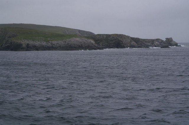
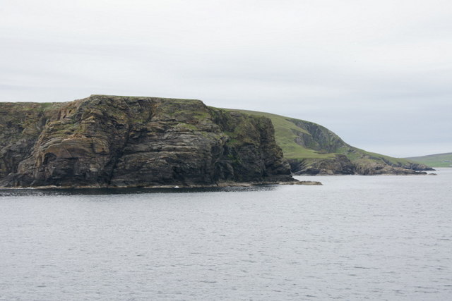
Geo of Hiplin is a prominent coastal feature located in the region of Shetland, Scotland. It is classified as a headland or a point, characterized by its distinct geological formation and stunning natural beauty. The term "geo" is derived from the Old Norse word "gjá," which refers to a narrow and steep-sided inlet along the coastline.
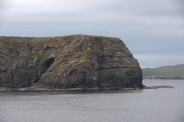
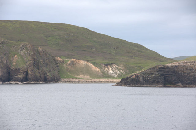
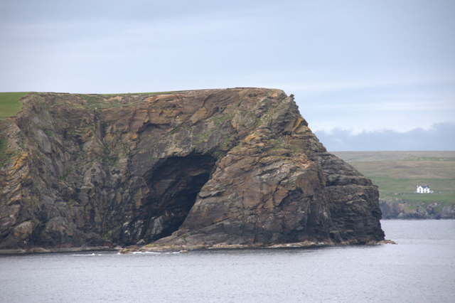
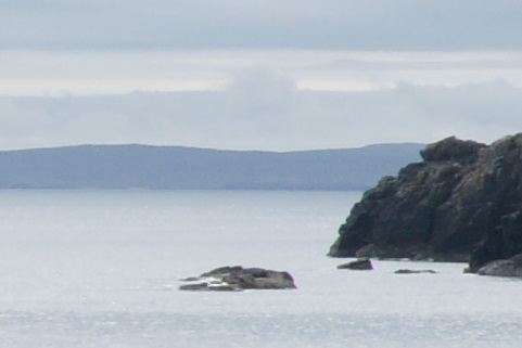
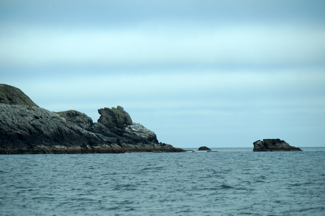
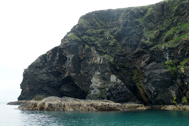
Situated on the eastern coast of Shetland, Geo of Hiplin offers breathtaking views of the North Sea and the surrounding rugged landscape. It is known for its towering cliffs, which rise dramatically from the water, reaching heights of up to 200 feet. These cliffs are composed of sedimentary rock layers, displaying a striking array of colors and textures. The area is also abundant in sea stacks, rock arches, and caves, adding to its allure and geological significance.
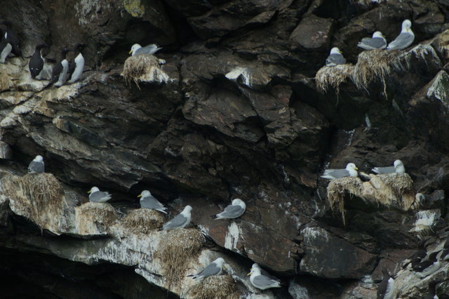
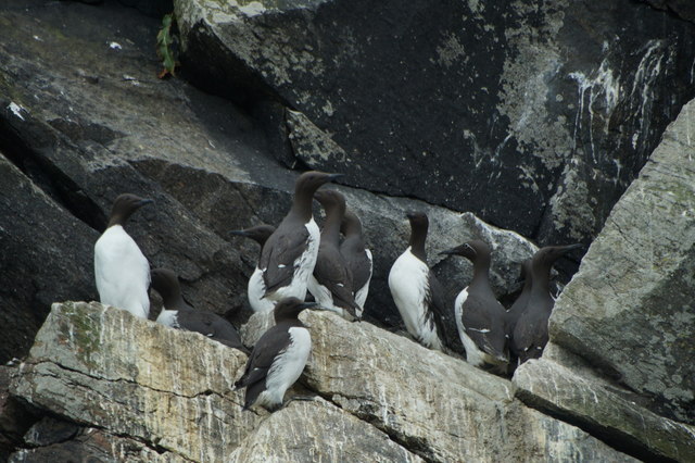
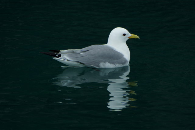
The Geo of Hiplin is a haven for wildlife, providing a nesting site for various seabird species, including puffins, guillemots, and razorbills. Its coastal waters are home to seals and otters, which can often be spotted along the rocky shores. The diverse ecosystem of the area also supports a variety of marine life, making it a popular spot for snorkeling and diving enthusiasts.
Accessible via a well-maintained footpath, Geo of Hiplin attracts both locals and tourists seeking to immerse themselves in its natural splendor. Its remote and unspoiled surroundings offer a tranquil escape from the hustle and bustle of everyday life, making it a perfect destination for nature lovers and hikers. The combination of its geological significance, scenic beauty, and abundant wildlife make Geo of Hiplin a truly unique coastal feature in the Shetland Islands.
If you have any feedback on the listing, please let us know in the comments section below.
Geo of Hiplin Images
Images are sourced within 2km of 60.56508/-0.87839109 or Grid Reference HU6187. Thanks to Geograph Open Source API. All images are credited.


Geo of Hiplin is located at Grid Ref: HU6187 (Lat: 60.56508, Lng: -0.87839109)
Unitary Authority: Shetland Islands
Police Authority: Highlands and Islands
What 3 Words
///escorting.lifted.starting. Near Houbie, Shetland Islands
Nearby Locations
Related Wikis

Fetlar
Fetlar is one of the North Isles of Shetland, Scotland, with a usually resident population of 61 at the time of the 2011 census. Its main settlement is...

Haltadans
Haltadans, also known as Fairy Ring or Haltadans stone circle, is a stone circle on the island of Fetlar in Shetland, Scotland. This site is a ring of...

Brough Lodge
Brough Lodge is a 19th-century Gothic mansion on Fetlar, one of the Shetland Islands, in northern Scotland. Built by the Nicolson family, who were responsible...

Funzie Girt
Funzie Girt (; Scots: Funyie Girt "Finns' dyke") is an ancient dividing wall that was erected from north to south across the island of Fetlar in Shetland...
Have you been to Geo of Hiplin?
Leave your review of Geo of Hiplin below (or comments, questions and feedback).