Dirt Riv

Coastal Feature, Headland, Point in Shetland

Scotland

Dirt Riv

Sunset beyond the Hall on Uyea, from Muness
Sunset beyond the Hall on Uyea, from Muness Credit: Mike Pennington

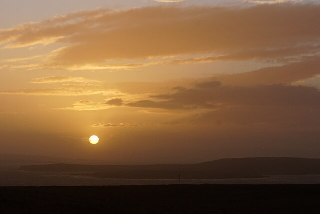
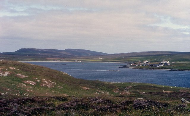
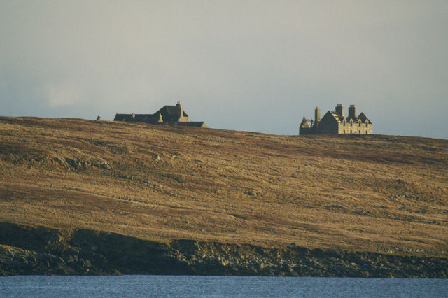
Dirt Riv is a prominent coastal feature located on the Shetland Islands, off the northeastern coast of Scotland. Positioned at the northernmost point of the main island, it is a headland that juts out into the North Sea. This picturesque point offers stunning views of the surrounding rugged coastline and the vast expanse of the sea.

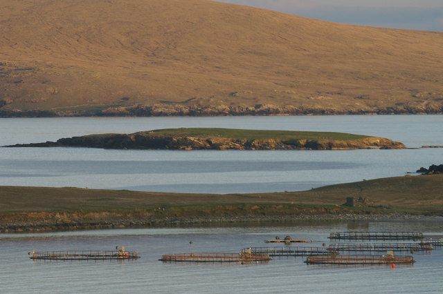
The headland is characterized by its rocky terrain, which is formed from ancient volcanic and sedimentary rocks. These rocks, weathered by years of erosion, have created a distinctive landscape that is both dramatic and beautiful. The cliffs that line the edges of Dirt Riv provide nesting sites for various seabird species, including puffins, guillemots, and razorbills, making it a popular spot for birdwatching enthusiasts.

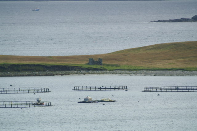
At low tide, a sandy beach is exposed, revealing a unique feature known as the "Dirt Riv." This sandy area stretches out towards the sea, forming a natural causeway. The name "Dirt Riv" is derived from the Old Norse words "drit," meaning dirt or manure, and "rif," meaning a reef or rocky outcrop. This name reflects the historical use of the area as a place for local farmers to deposit seaweed and other organic matter to fertilize nearby fields.

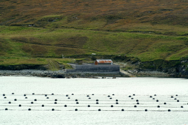
Dirt Riv is a popular destination for outdoor enthusiasts and nature lovers, who come to explore the rugged coastline, observe wildlife, and enjoy the tranquil beauty of the surrounding landscape. It is a place where visitors can immerse themselves in the raw power of the sea and appreciate the rich natural heritage of the Shetland Islands.

If you have any feedback on the listing, please let us know in the comments section below.

Dirt Riv Images

Images are sourced within 2km of 60.671374/-0.88168701 or Grid Reference HU6199. Thanks to Geograph Open Source API. All images are credited.

Sunset beyond the Hall on Uyea, from Muness
Sunset over Uyea
Sunset over Uyea
Uyea Isle Looking from Uyea Isle towards Uyeasound.
Uyea Isle
Looking from Uyea Isle towards Uyeasound.
Uyea Hall The hall is no longer inhabitable, but the farm buildings are. Fetlar is in the distance.
Uyea Hall
The hall is no longer inhabitable, but the farm buildings are. Fetlar is in the distance.
Ruined crofthouse on the Ness of Ramnageo
Ness of Ramnageo A ruined planticrub (shelter for growing crops) on the Ness; Fetlar is in the distance.
Ness of Ramnageo
A ruined planticrub (shelter for growing crops) on the Ness; Fetlar is in the distance.
Beaches on the west of the Ness of Ramnageo The ruined croft at Littlegarth can just be seen in the distance.
Beaches on the west of the Ness of Ramnageo
The ruined croft at Littlegarth can just be seen in the distance.
Coastline below Littlegarth Uyea isle is in the distance.
Coastline below Littlegarth
Uyea isle is in the distance.
Cliffs at Littlegarth Fulmars are beginning to return to ledges left empty for most of the winter.
Cliffs at Littlegarth
Fulmars are beginning to return to ledges left empty for most of the winter.
Wick of Fauld Looking across the wick from Littlegarth towards Ramnageo.
Wick of Fauld
Looking across the wick from Littlegarth towards Ramnageo.
Winna Ness Salmon cages off Uyea, with Winna Ness on Uyea beyond that, and Fetlar in the distance.
Winna Ness
Salmon cages off Uyea, with Winna Ness on Uyea beyond that, and Fetlar in the distance.
Wedder Holm From Clivocast; Uyea Isle is in the foreground and Fetlar is in the distance.
Wedder Holm
From Clivocast; Uyea Isle is in the foreground and Fetlar is in the distance.
Beach on Ness of Ramnageo Looking towards Fetlar.
Beach on Ness of Ramnageo
Looking towards Fetlar.
Wick of Fauld from Ramnageo Looking towards Littlegarth.
Wick of Fauld from Ramnageo
Looking towards Littlegarth.
Winna Ness, Uyea The fishing boat is presumably collecting salmon from the cages off Winna Ness, something that seems to be common practise in deepwater cages these days. The cages in the foreground are off Point of Burkwell, where the photo was taken. In the distance is Fetlar.
Winna Ness, Uyea
The fishing boat is presumably collecting salmon from the cages off Winna Ness, something that seems to be common practise in deepwater cages these days. The cages in the foreground are off Point of Burkwell, where the photo was taken. In the distance is Fetlar.
Uyea Hall The hall on the right was the home of the Neven-Spence family, most notably Sir Basil Hamilton Hebden Neven-Spence, who was elected as Conservative MP for the constituency of Orkney & Shetland in 1935, a position he held until 1950 when he was replaced by the Liberal MP Jo Grimond. The buildings on the left are still habitable and were used by the shepherd who live on the island into the 1960s, and are still used by the current owners of the island when they are in lambing. The photo was taken from the Point of Burkwell on the Unst mainland.
Uyea Hall
The hall on the right was the home of the Neven-Spence family, most notably Sir Basil Hamilton Hebden Neven-Spence, who was elected as Conservative MP for the constituency of Orkney & Shetland in 1935, a position he held until 1950 when he was replaced by the Liberal MP Jo Grimond. The buildings on the left are still habitable and were used by the shepherd who live on the island into the 1960s, and are still used by the current owners of the island when they are in lambing. The photo was taken from the Point of Burkwell on the Unst mainland.
The pier on Uyea Isle The lines in the foreground are mussel rafts.
The pier on Uyea Isle
The lines in the foreground are mussel rafts.
Tur Ness, Uyea Isle The ruined building on Tur Ness, with salmon cages in the foreground and a small boat in the background.
Tur Ness, Uyea Isle
The ruined building on Tur Ness, with salmon cages in the foreground and a small boat in the background.
Show me another place!

Dirt Riv is located at Grid Ref: HU6199 (Lat: 60.671374, Lng: -0.88168701)

Unitary Authority: Shetland Islands

Police Authority: Highlands and Islands

What 3 Words

///flopped.ulterior.villa. Near Uyeasound, Shetland Islands

Related Wikis

Uyea, Unst

Uyea (Scots: Uyea) is an uninhabited island, lying south of Unst in Shetland, Scotland. == History == The island was inhabited as early as the Bronze Age...

Clivocast

Clivocast is a settlement on the island of Unst in the Shetland Islands, Scotland at 60.67°N 00.90°W / 60.67; -00.90 or grid reference HP6000 and is situated...

Haaf Gruney

Haaf Gruney is a small island in the north east of the Shetland Islands. == Geography and geology == The island is between Unst and Fetlar which are to...

Muness Castle

Muness Castle is located on Unst, which is one of the Shetland Islands of Scotland. The castle is 3 kilometres (1.9 mi) east of the village of Uyeasound...

Mailand, Shetland

Mailand is a hamlet in the Shetland Islands. It is on the island of Unst, the northernmost of the inhabited British Isles, near its southern coast. �...

Uyeasound

Uyeasound is a village on the Isle of Unst, the northernmost island of the Shetland Islands, Scotland. It takes its name from the neighbouring strait of...

Sound Gruney

For other islands with similar names, see Gruney (disambiguation) Sound Gruney is one of the Shetland islands. It lies about 1.5 kilometres (0.93 mi)...

Urie Lingey

For other islands with similar names, see Linga (disambiguation) Urie Lingey is one of the Shetland Islands. It is between Fetlar and Unst, and Yell is...

Nearby Amenities

Located within 500m of 60.671374,-0.88168701
Brei Wick
Natural: bay
Lat/Long: 60.667362/-0.8815467
Kailan
Natural: bay
Lat/Long: 60.6730512/-0.8876476
The data included in this document is from www.openstreetmap.org. The data is made available under ODbL.

Have you been to Dirt Riv?

Leave your review of Dirt Riv below (or comments, questions and feedback).