Root Stacks

Coastal Feature, Headland, Point in Shetland

Scotland

Root Stacks

Abandoned peat-workings at the south end of Hermaness NNR Peats have not been cut here since the 1980s.
Abandoned peat-workings at the south end of Hermaness NNR Credit: Mike Pennington

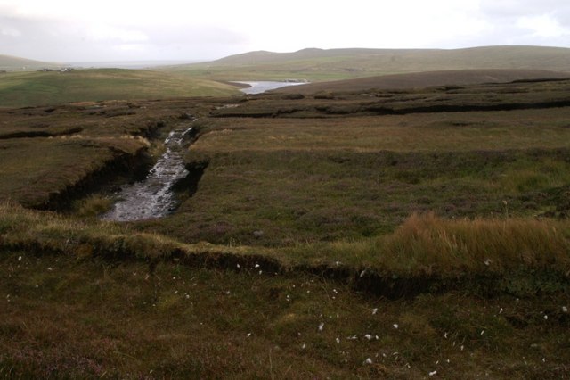
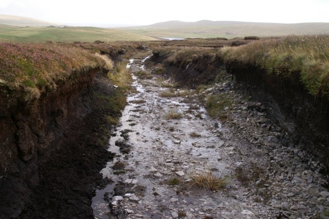
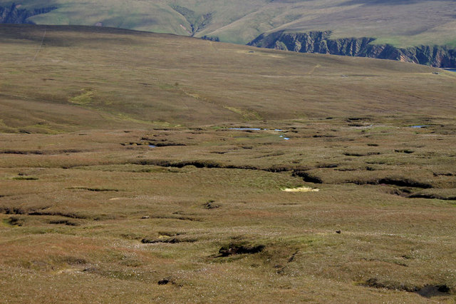
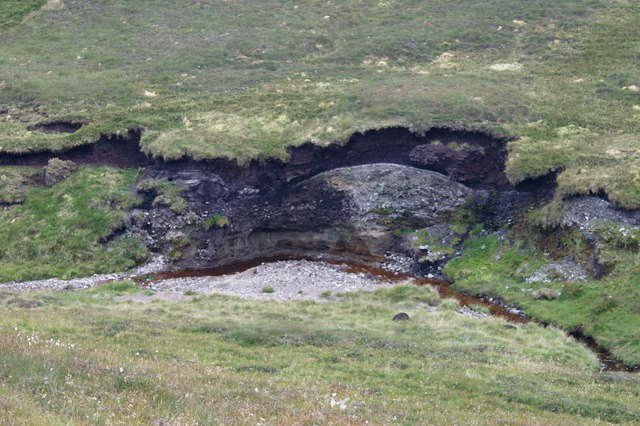
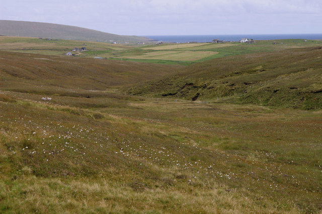
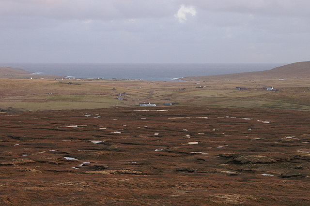
Root Stacks is a prominent coastal feature located in the Shetland Islands, off the northern coast of Scotland. Situated on the western side of the island, it is classified as a headland or point due to its protruding formation into the North Atlantic Ocean. This geological formation is characterized by a series of towering sea stacks that rise dramatically from the surrounding water.

The stacks themselves are composed of old red sandstone, a type of sedimentary rock that is common in the region. Standing at an impressive height, some of the stacks reach up to 60 meters (197 feet) above sea level, creating a striking and picturesque sight against the backdrop of the rugged coastline.

Root Stacks is known for its rugged beauty and is a popular attraction for tourists and nature enthusiasts. The stacks provide nesting grounds for various seabirds, including puffins, fulmars, and guillemots, making it an important site for birdwatching. Visitors can often spot these birds perched on the stacks or soaring overhead.

Access to Root Stacks is primarily by boat, with organized tours available from nearby towns and villages. The area surrounding the stacks is also popular for hiking and exploring the coastal trails, offering breathtaking views of the stacks and the surrounding sea.

Root Stacks is not only a scenic coastal feature but also an important geological and ecological site in the Shetland Islands. Its towering sea stacks, diverse birdlife, and rugged beauty make it a must-visit destination for nature lovers and those interested in the unique landscapes of the region.

If you have any feedback on the listing, please let us know in the comments section below.

Root Stacks Images

Images are sourced within 2km of 60.807299/-0.86908353 or Grid Reference HP6114. Thanks to Geograph Open Source API. All images are credited.

Abandoned peat-workings at the south end of Hermaness NNR Peats have not been cut here since the 1980s.
Abandoned peat-workings at the south end of Hermaness NNR
Peats have not been cut here since the 1980s.
Peat track at the south end of Hermaness NNR The peat here is only about a metre thick, and the track has been cut down to the bedrock.
Peat track at the south end of Hermaness NNR
The peat here is only about a metre thick, and the track has been cut down to the bedrock.
Milldale Burn Milldale on the map, but known as Tonga Daal locally.
Milldale Burn
Milldale on the map, but known as Tonga Daal locally.
Blanket bog at the south end of Hermaness NNR With the slopes of Saxa Vord in the distance.
Blanket bog at the south end of Hermaness NNR
With the slopes of Saxa Vord in the distance.
Erosion along the Milldale Burn The burn has cut away at the soil to reveal a relatively thin layer of peat overlying a grey, stone-filled soil (glacial till?) and a sandy subsoil at the bottom.
Erosion along the Milldale Burn
The burn has cut away at the soil to reveal a relatively thin layer of peat overlying a grey, stone-filled soil (glacial till?) and a sandy subsoil at the bottom.
Looking down Milldale Some of the houses at Burrafirth can be seen in the distance and the Hill of Clibberswick is in the far distance on the left. Although named Milldale on the maps, it is known as Tonga Daal locally ('daal' is Shetlandic for dale or valley).
Looking down Milldale
Some of the houses at Burrafirth can be seen in the distance and the Hill of Clibberswick is in the far distance on the left. Although named Milldale on the maps, it is known as Tonga Daal locally ('daal' is Shetlandic for dale or valley).
View east from Mill Field, Hermaness Looking across the moorland on the ridge between Hoveburn and Milldale. The white house in the centre is Lower Sotland at Burrafirth with a view right across to Harold's Wick.
View east from Mill Field, Hermaness
Looking across the moorland on the ridge between Hoveburn and Milldale. The white house in the centre is Lower Sotland at Burrafirth with a view right across to Harold's Wick.
Sunset on Hermaness The sun slides behind Libbers Hill as the sky still reflects in a small pool above Hoveburn.
Sunset on Hermaness
The sun slides behind Libbers Hill as the sky still reflects in a small pool above Hoveburn.
Rescued sheep on Hermaness Pulled out of the nearby mire.
Rescued sheep on Hermaness
Pulled out of the nearby mire.
Great Skuas (Stercorarius skua), Hermaness
Cross-leaved Heath (Erica tetralix), Hermaness With a few seeds of Common Cotton-grass attached.
Cross-leaved Heath (Erica tetralix), Hermaness
With a few seeds of Common Cotton-grass attached.
Great Skua (Stercorarius skua), Hermaness The house of Annsbrae at Burrafirth in the background.
Great Skua (Stercorarius skua), Hermaness
The house of Annsbrae at Burrafirth in the background.
Round-leaved Sundew (Drosera rotundifolia), Hermaness
Moorland at Mill Field, Hermaness Looking towards Libbers Hill.
Moorland at Mill Field, Hermaness
Looking towards Libbers Hill.
Small lochan on Hermaness With Saxa Vord in the background.
Small lochan on Hermaness
With Saxa Vord in the background.
Milldale, Hermaness
Milldale, Hermaness
Dunlin (Calidris alpina), Hermaness
Male Common Eider (Somateria mollissima), Fiska Wick, Burrafirth
Show me another place!

Root Stacks is located at Grid Ref: HP6114 (Lat: 60.807299, Lng: -0.86908353)

Unitary Authority: Shetland Islands

Police Authority: Highlands and Islands

What 3 Words

///tomb.fake.enrolling. Near Haroldswick, Shetland Islands

Related Wikis

Burrafirth

Burrafirth links (Old Norse: Borgarfjorðr, meaning "the fjord with a castle") is a strip of land with a few houses on the island of Unst, Shetland, Scotland...

Valhalla Brewery

The Valhalla Brewery in Unst, Shetland, Scotland, was the northernmost brewery in the United Kingdom. It was opened by the husband and wife team Sonny...

Saxa Vord distillery

Saxa Vord distillery is a Scotch whisky and gin distillery on the island of Unst, part of the Shetland islands. The distillery takes its name from its...

RAF Saxa Vord

Remote Radar Head Saxa Vord or RRH Saxa Vord (aka RAF Saxa Vord), is a Royal Air Force radar station located on the island of Unst, the most northern of...

Haroldswick

Haroldswick or Harold's Wick (Old Norse: Haraldsvík, 'Harald's bay'), is on Unst, Shetland Islands, Scotland, and is one of the most northerly settlements...

Hermaness

Hermaness is the northernmost headland of Unst, the most northerly inhabited island of Shetland, Scotland. It consists of huge sea cliffs and moorland...

Skaw, Unst

Skaw is a settlement in the Scottish archipelago of Shetland, located on the island of Unst. It is located north of Haroldswick on a peninsula in the northeast...

Unst Bus Shelter

The Unst Bus Shelter, also known as Bobby's Bus Shelter, is a bus shelter and bus stop near the village of Baltasound, on the isle of Unst, Shetland Islands...

Nearby Amenities

Located within 500m of 60.807299,-0.86908353
Barrier: cattle_grid
Lat/Long: 60.8071128/-0.8619259
Power: pole
Lat/Long: 60.8040615/-0.8647178
Power: pole
Lat/Long: 60.8055185/-0.8633563
Power: pole
Lat/Long: 60.8050803/-0.8637787
Power: pole
Lat/Long: 60.8046034/-0.8642079
Power: pole
Lat/Long: 60.8034075/-0.8653237
Power: pole
Lat/Long: 60.8062244/-0.8639048
Power: pole
Lat/Long: 60.8066799/-0.8640496
Power: pole
Lat/Long: 60.8069302/-0.8641282
Budabrake
Place: hamlet
Lat/Long: 60.8064514/-0.8634278
Root Stacks
Natural: rock
Lat/Long: 60.80798/-0.8680215
The data included in this document is from www.openstreetmap.org. The data is made available under ODbL.

Have you been to Root Stacks?

Leave your review of Root Stacks below (or comments, questions and feedback).