Fold, Lower

Settlement in Lancashire

England

Fold, Lower

Former Rochdale to Bacup Railway Trackbed at Shawclough Start of trail on trackbed with Dell Road retaining wall to the left
Former Rochdale to Bacup Railway Trackbed at Shawclough Credit: Kevin Waterhouse

Fold, Lower is a small village located in the county of Lancashire, England. Situated about 5 miles north of the city of Bolton, Fold, Lower is nestled among the beautiful rural landscape of the West Pennine Moors. With a population of around 500 residents, the village offers a peaceful and close-knit community.

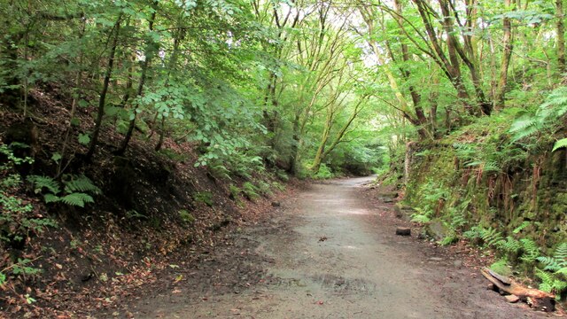
The village takes its name from the geographical location, as it is situated in a fold or hollow in the undulating terrain. The landscape surrounding Fold, Lower is characterized by rolling hills, green pastures, and picturesque farmland, making it an ideal location for those seeking a tranquil countryside lifestyle.

In terms of amenities, Fold, Lower has a few local shops and services to cater to the needs of its residents. There is a village hall that serves as a community center, hosting various events and activities throughout the year. The village also has a primary school, providing education for the local children.

For outdoor enthusiasts, Fold, Lower offers plenty of opportunities for walking, hiking, and exploring the surrounding countryside. The nearby Rivington Pike and Winter Hill are popular destinations for outdoor activities, providing stunning views of the area from their summits.

Overall, Fold, Lower is a charming village that offers a peaceful and idyllic setting for its residents. Its close proximity to larger towns and cities provides a perfect balance between the tranquility of rural life and access to urban amenities. Whether enjoying the natural beauty or participating in community events, Fold, Lower offers a delightful place to call home.

If you have any feedback on the listing, please let us know in the comments section below.
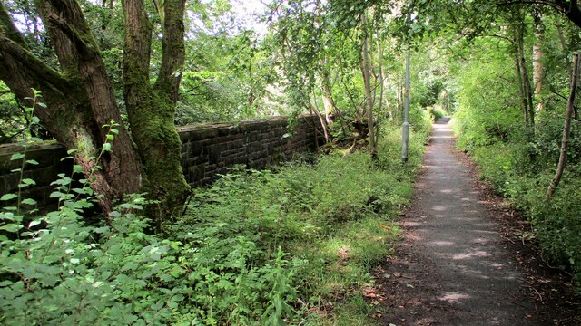
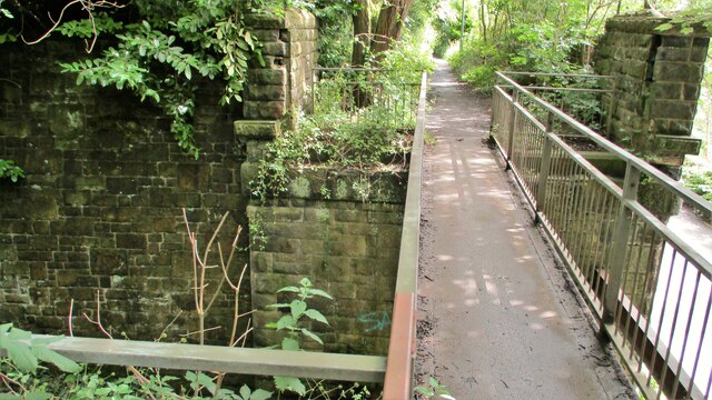
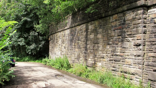
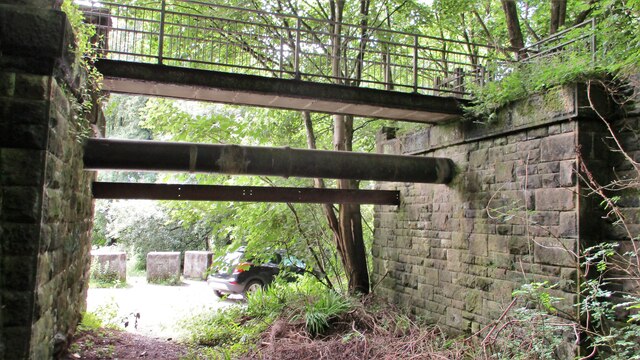
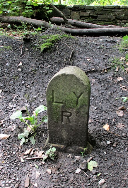
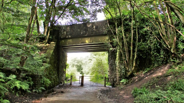
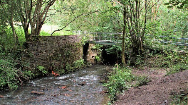
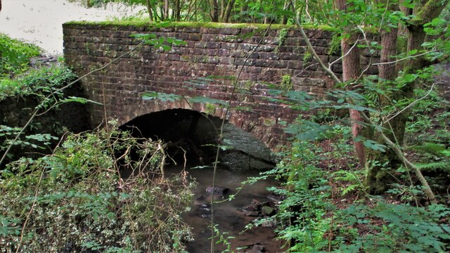
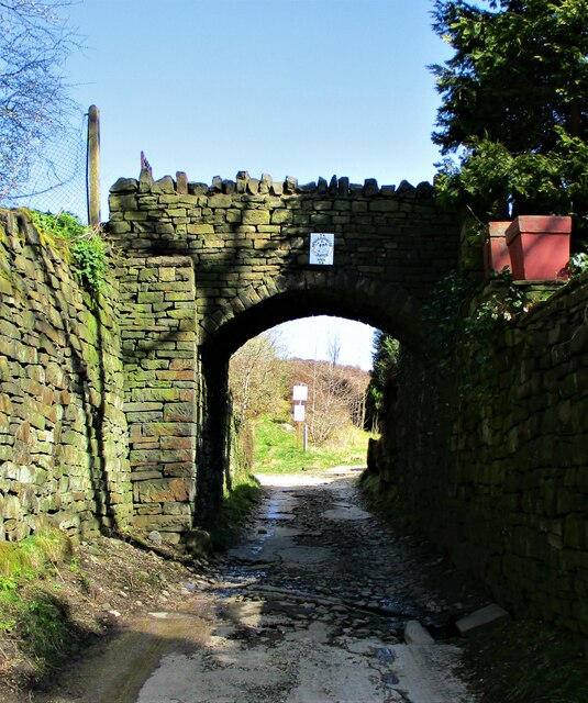
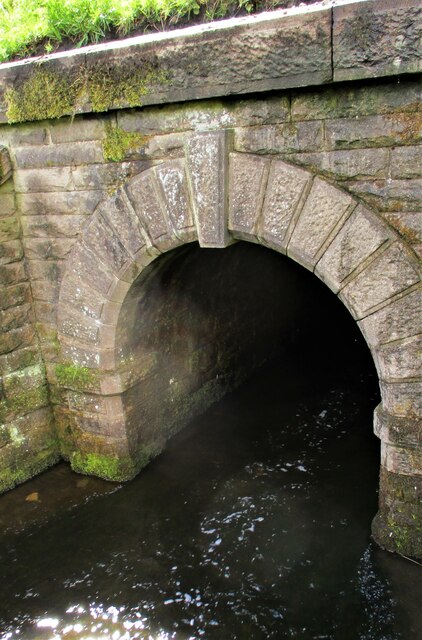
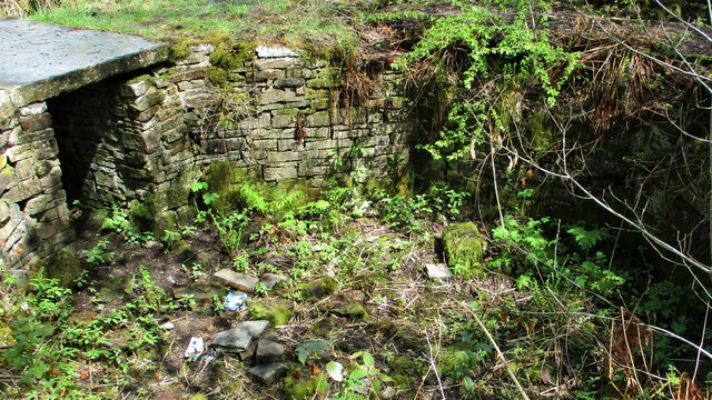
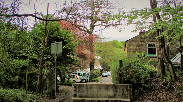
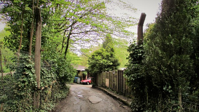
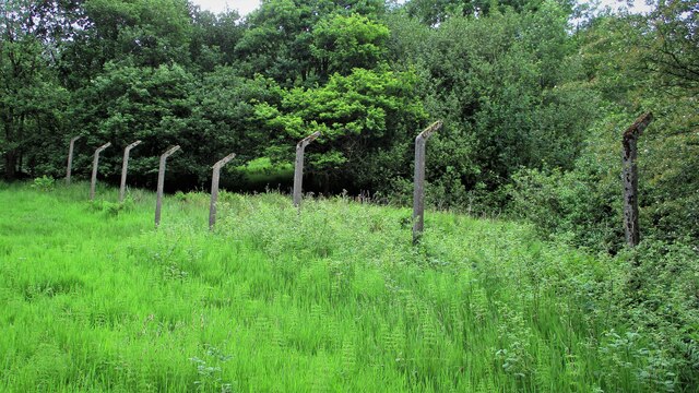
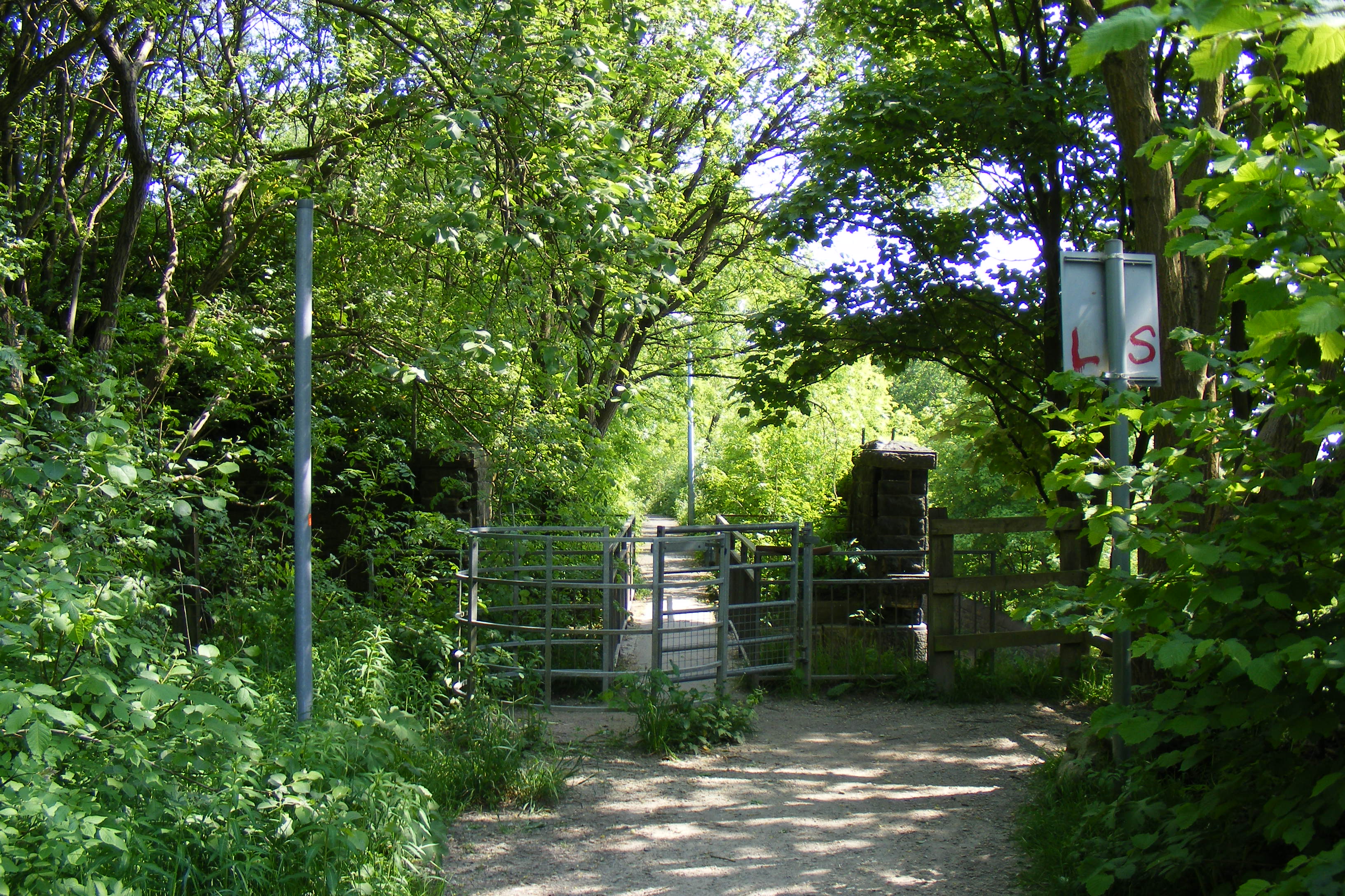
Fold, Lower Images

Images are sourced within 2km of 53.634535/-2.177666 or Grid Reference SD8815. Thanks to Geograph Open Source API. All images are credited.

Former Rochdale to Bacup Railway Trackbed at Shawclough Start of trail on trackbed with Dell Road retaining wall to the left
Former Rochdale to Bacup Railway Trackbed at Shawclough
Start of trail on trackbed with Dell Road retaining wall to the left
Footbridge replacement for Railway Bridge at Shawclough View towards Rochdale over former Shawclough Station access road
Footbridge replacement for Railway Bridge at Shawclough
View towards Rochdale over former Shawclough Station access road
Retaining Wall for Railway on Dell Road Shawclough Retaining Wall for Rochdale to Bacup Railway, view North
Retaining Wall for Railway on Dell Road Shawclough
Retaining Wall for Rochdale to Bacup Railway, view North
Railway Bridge Abutments at Shawclough Station Access Road Footbridge has replaced original Railway Bridge. Concrete Block barriers stop vehicle entry to Woodland Road from Dell Road
Railway Bridge Abutments at Shawclough Station Access Road
Footbridge has replaced original Railway Bridge. Concrete Block barriers stop vehicle entry to Woodland Road from Dell Road
Former Rochdale to Bacup Railway Trackbed after Shawclough Adverse Gradient after heading North from the former Shawclough Station at Dell Road bridge
Former Rochdale to Bacup Railway Trackbed after Shawclough
Adverse Gradient after heading North from the former Shawclough Station at Dell Road bridge
Siamese Railway Bridges at Healey The original bridge was found to be slipping down the hillside so another was built for the Rochdale to Bacup Railway.
Siamese Railway Bridges at Healey
The original bridge was found to be slipping down the hillside so another was built for the Rochdale to Bacup Railway.
Typical Rochdale/Whitworth Boundary Stone On the former Rochdale to Bacup Railway on the Boundary. The Boundary Stones in this area of Healey Corner had metal plates on the stones all now mainly removed.
This stone is typical but it may not be what it seems.
Typical Rochdale/Whitworth Boundary Stone
On the former Rochdale to Bacup Railway on the Boundary. The Boundary Stones in this area of Healey Corner had metal plates on the stones all now mainly removed. This stone is typical but it may not be what it seems.
Milestone 14 on Rochdale to Bacup Railway Close to Rochdale/Whitworth Boundary on former Railway Trackbed
Milestone 14 on Rochdale to Bacup Railway
Close to Rochdale/Whitworth Boundary on former Railway Trackbed
LYR Boundary Stone This stone is close to the former railway trackbed so may be re-positioned. South of Dell Road access to Healey Dell Viaduct.
LYR Boundary Stone
This stone is close to the former railway trackbed so may be re-positioned. South of Dell Road access to Healey Dell Viaduct.
Station Road Railway Bridge Broadley The Bridge from the South on the former trackbed. On the North side is the site of Broadley Station
Station Road Railway Bridge Broadley
The Bridge from the South on the former trackbed. On the North side is the site of Broadley Station
Footbridge over River Spodden Metal Footbridge for numerous routes around Spodden Valley North of Healey Dell
Footbridge over River Spodden
Metal Footbridge for numerous routes around Spodden Valley North of Healey Dell
Bridge over River Spodden near Former Station Yard Substantial Bridge now footpath but gave alternative access perhaps to the Station Yard at Broadley. It is also the site of Broadley Mill.
Bridge over River Spodden near Former Station Yard
Substantial Bridge now footpath but gave alternative access perhaps to the Station Yard at Broadley. It is also the site of Broadley Mill.
Private Footbridge over Ending Rake Footbridge for Mount Ending residence where Ending Rake goes on to the moorland.
Private Footbridge over Ending Rake
Footbridge for Mount Ending residence where Ending Rake goes on to the moorland.
Culvert Portal under Prickshaw Lane Prickshaw Brook emerges
Culvert Portal under Prickshaw Lane
Prickshaw Brook emerges
Stone Rubbing Mill Remains The Southern Pit used in connection with grinding and finishing quarried stone.
The mill at Broadley Sidings was connected with Bagden Quarry by a railway.
Stone Rubbing Mill Remains
The Southern Pit used in connection with grinding and finishing quarried stone. The mill at Broadley Sidings was connected with Bagden Quarry by a railway.
Modern & WWII Pole Barriers Modern concrete block across Dell Road and WWII pole barrier still surviving from when the mill beyond was a munitions filling factory.
Modern & WWII Pole Barriers
Modern concrete block across Dell Road and WWII pole barrier still surviving from when the mill beyond was a munitions filling factory.
Dell Road North entrance to former WWII ROF Site MoD fencing poles mark entrance to former WWII munitions filling factory site in Healey Hall Mill
Dell Road North entrance to former WWII ROF Site
MoD fencing poles mark entrance to former WWII munitions filling factory site in Healey Hall Mill
Former WWII Fencing at ROF Healey Hall Mill WWII fencing remains on boundary of former munitions filling factory on West bank of River Spodden.
Former WWII Fencing at ROF Healey Hall Mill
WWII fencing remains on boundary of former munitions filling factory on West bank of River Spodden.
Show me another place!

Fold, Lower is located at Grid Ref: SD8815 (Lat: 53.634535, Lng: -2.177666)

Unitary Authority: Rochdale

Police Authority: Greater Manchester

What 3 Words

///hats.deed.take. Near Whitworth, Lancashire

Related Wikis

Shawclough and Healey railway station

Shawclough & Healey railway station served the townships of Shawclough and Healey in Rochdale, in the Metropolitan Borough of Rochdale in Greater Manchester...

Healey, Greater Manchester

Healey is part of the Metropolitan Borough of Rochdale, Greater Manchester, England. Historically part of Lancashire, it includes Shawclough, Syke and...
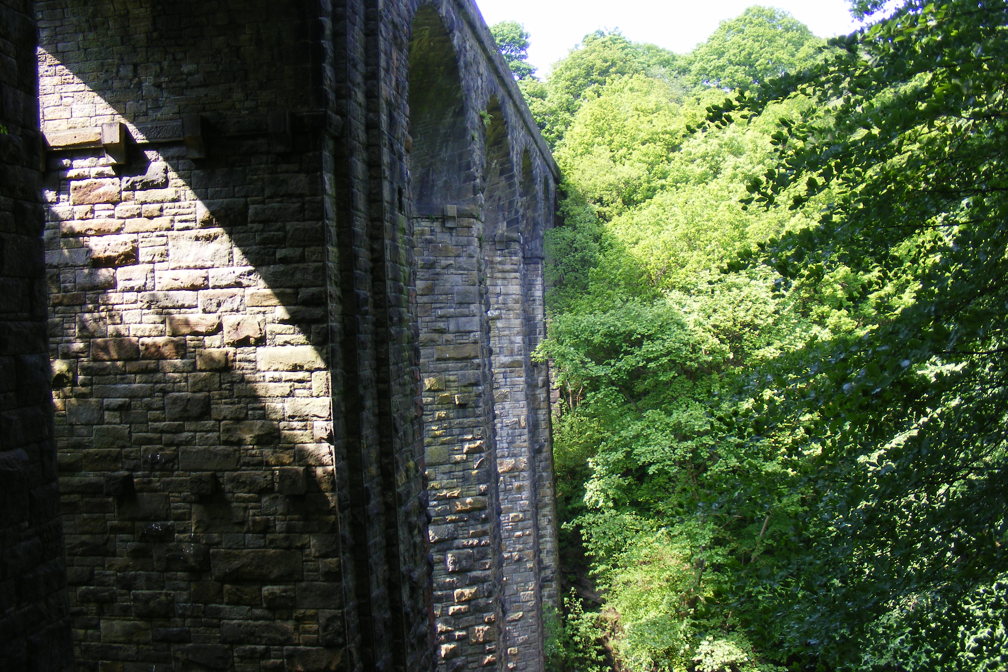
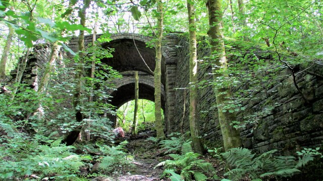
Healey Dell Viaduct

Healey Dell Viaduct is a viaduct situated in Healey Dell Nature Reserve in the Spodden Valley, on the outskirts of Rochdale in Greater Manchester, England...

Shawclough

Shawclough is a mainly residential area north of Rochdale, Greater Manchester, England. Its boundaries are roughly Whitworth Road, Shawclough Road, and...

Related Videos

Rochdale Town Centre | 4K Walking Tour

Rochdale is a town in Greater Manchester, England, and the administrative centre of the Metropolitan Borough of Rochdale.

Walking Tour of Rochdale Old Town | Visiting To Rochdale Old Town | 2023 | Part 1

Visiting To Rochdale Old Town | Walking Tour of Rochdale Old Town | 2023 | Part 1 We visited to Rochdale Old Town. Its gone ...

Rochdale Lancashire - The River Beal - Part 1

Whilst the 'stay at home' crises has limited our walks, the Government advice on short daily walking exercise has been welcomed.

Nearby Amenities

Located within 500m of 53.634535,-2.177666
Bus Stop
Shawclough Road/Healey Hall
Bus: yes
Naptan AtcoCode: 1800NE16221
Naptan Bearing: S
Naptan CommonName: Shawclough Road/Healey Hall
Naptan Indicator: Nr Open Land
Naptan Landmark: NR OPEN LAND
Naptan NaptanCode: mandwtdp
Naptan PlusbusZoneRef: MNCRPIC
Naptan ShortCommonName: Healey Hall
Naptan Street: SHAWCLOUGH ROAD
Naptan Verified: no
Network: TfGM
Public Transport: platform
Source: naptan_import
Lat/Long: 53.6384186/-2.1799707
Bus Stop
Shawclough Road/Judith Street
Bus: yes
Naptan AtcoCode: 1800NE16231
Naptan Bearing: S
Naptan CommonName: Shawclough Road/Judith Street
Naptan Indicator: Opp House 405
Naptan Landmark: HOUSE 394
Naptan NaptanCode: mandwtdt
Naptan PlusbusZoneRef: MNCRPIC
Naptan ShortCommonName: Judith Street
Naptan Street: SHAWCLOUGH ROAD
Naptan Verified: no
Network: TfGM
Public Transport: platform
Source: naptan_import
Lat/Long: 53.6353814/-2.179368
Bus Stop
Shawclough Road/Judith Street
Bus: yes
Naptan AtcoCode: 1800NE16241
Naptan Bearing: N
Naptan CommonName: Shawclough Road/Judith Street
Naptan Indicator: O/s House 403
Naptan Landmark: HOUSE 403
Naptan NaptanCode: mandwtdw
Naptan PlusbusZoneRef: MNCRPIC
Naptan ShortCommonName: Judith Street
Naptan Street: SHAWCLOUGH ROAD
Naptan Verified: no
Network: TfGM
Public Transport: platform
Source: naptan_import
Lat/Long: 53.6353273/-2.1795038
Bus Stop
Shawclough Road/Shawclough Way
Bus: yes
Naptan AtcoCode: 1800NE16251
Naptan Bearing: SE
Naptan CommonName: Shawclough Road/Shawclough Way
Naptan Indicator: Opp House 331
Naptan Landmark: DUFFINS COTTAGE
Naptan NaptanCode: mandwtga
Naptan PlusbusZoneRef: MNCRPIC
Naptan ShortCommonName: Shawclough Way
Naptan Street: SHAWCLOUGH ROAD
Naptan Verified: no
Network: TfGM
Public Transport: platform
Source: naptan_import
Lat/Long: 53.6326978/-2.1767252
Bus Stop
Shawclough Road/Healey Hotel
Bus: yes
Naptan AtcoCode: 1800NE16261
Naptan Bearing: SE
Naptan CommonName: Shawclough Road/Healey Hotel
Naptan Indicator: Healey Hotel
Naptan Landmark: HEALEY HOTEL
Naptan NaptanCode: mandwtgd
Naptan PlusbusZoneRef: MNCRPIC
Naptan ShortCommonName: Healey Hotel
Naptan Street: SHAWCLOUGH ROAD
Naptan Verified: no
Network: TfGM
Public Transport: platform
Source: naptan_import
Lat/Long: 53.6317562/-2.1752544
Bus Stop
Shawclough Road/Healey Hotel
Bus: yes
Naptan AtcoCode: 1800NE16271
Naptan Bearing: NW
Naptan CommonName: Shawclough Road/Healey Hotel
Naptan Indicator: Apple Kitchens
Naptan Landmark: HOUSE 305
Naptan NaptanCode: mandwtgj
Naptan PlusbusZoneRef: MNCRPIC
Naptan ShortCommonName: Healey Hotel
Naptan Street: SHAWCLOUGH ROAD
Naptan Verified: no
Network: TfGM
Public Transport: platform
Source: naptan_import
Lat/Long: 53.631532/-2.1749208
Bus Stop
Holstein Avenue/Shawclough Way
Bus: yes
Naptan AtcoCode: 1800NE01311
Naptan Bearing: NW
Naptan CommonName: Holstein Avenue/Shawclough Way
Naptan Indicator: Sub Station
Naptan Landmark: SUB STATION
Naptan NaptanCode: mandwdam
Naptan PlusbusZoneRef: MNCRPIC
Naptan ShortCommonName: Shawclough Way
Naptan Street: HOLSTEIN AVENUE
Naptan Verified: no
Network: TfGM
Public Transport: platform
Source: naptan_import
Lat/Long: 53.6364265/-2.1715834
Bus Stop
Shawclough Road/Healey Hall
Bus: yes
Naptan AtcoCode: 1800NE06881
Naptan Bearing: N
Naptan CommonName: Shawclough Road/Healey Hall
Naptan Indicator: Nr Open Land
Naptan Landmark: NR OPEN LAND
Naptan NaptanCode: mantgtdt
Naptan PlusbusZoneRef: MNCRPIC
Naptan ShortCommonName: Healey Hall
Naptan Street: SHAWCLOUGH ROAD
Naptan Verified: no
Network: TfGM
Public Transport: platform
Source: naptan_import
Lat/Long: 53.6384094/-2.1801068
Bus Stop
Shawclough Road/Shawclough Way
Bus: yes
Naptan AtcoCode: 1800NE17481
Naptan Bearing: N
Naptan CommonName: Shawclough Road/Shawclough Way
Naptan Indicator: O/s House 335
Naptan Landmark: HOUSE 335
Naptan NaptanCode: mangadjw
Naptan PlusbusZoneRef: MNCRPIC
Naptan ShortCommonName: Shawclough Way
Naptan Street: SHAWCLOUGH ROAD
Naptan Verified: no
Network: TfGM
Public Transport: platform
Source: naptan_import
Lat/Long: 53.6331101/-2.1775284
Bus Stop
Shawclough Way/Glenavon Drive
Bus: yes
Naptan AtcoCode: 1800NE07391
Naptan Bearing: N
Naptan CommonName: Shawclough Way/Glenavon Drive
Naptan Indicator: O/s House 96
Naptan Landmark: HOUSE 89
Naptan NaptanCode: mantgtjg
Naptan PlusbusZoneRef: MNCRPIC
Naptan ShortCommonName: Glenavon Drive
Naptan Street: SHAWCLOUGH WAY
Naptan Verified: no
Network: TfGM
Public Transport: platform
Source: naptan_import
Lat/Long: 53.6363963/-2.1738519
Bus Stop
Shawclough Way/Shawclough Close
Bus: yes
Naptan AtcoCode: 1800NE07401
Naptan Bearing: NE
Naptan CommonName: Shawclough Way/Shawclough Close
Naptan Indicator: O/s House 24
Naptan Landmark: HOUSE 23
Naptan NaptanCode: mantgtjp
Naptan PlusbusZoneRef: MNCRPIC
Naptan ShortCommonName: Shawclough Close
Naptan Street: SHAWCLOUGH WAY
Naptan Verified: no
Network: TfGM
Public Transport: platform
Source: naptan_import
Lat/Long: 53.6342109/-2.1746747
Bus Stop
Shawclough Way/Hillside Walk
Bus: yes
Naptan AtcoCode: 1800NE08111
Naptan Bearing: E
Naptan CommonName: Shawclough Way/Hillside Walk
Naptan Indicator: Op House 111
Naptan Landmark: HOUSE 109
Naptan NaptanCode: mantjadm
Naptan PlusbusZoneRef: MNCRPIC
Naptan ShortCommonName: Hillside Walk
Naptan Street: SHAWCLOUGH WAY
Naptan Verified: no
Network: TfGM
Public Transport: platform
Source: naptan_import
Lat/Long: 53.6369017/-2.1724021
Bus Stop
Shawclough Way/Hillside Walk
Bus: yes
Naptan AtcoCode: 1800NE49841
Naptan Bearing: W
Naptan CommonName: Shawclough Way/Hillside Walk
Naptan Indicator: Op House 111
Naptan Landmark: HOUSE 114
Naptan NaptanCode: mangjdmg
Naptan PlusbusZoneRef: MNCRPIC
Naptan ShortCommonName: Hillside Walk
Naptan Street: SHAWCLOUGH WAY
Naptan Verified: no
Network: TfGM
Public Transport: platform
Source: naptan_import
Lat/Long: 53.6368389/-2.1723716
Bus Stop
Shawclough Way/Glenavon Drive
Bus: yes
Naptan AtcoCode: 1800NE49851
Naptan Bearing: S
Naptan CommonName: Shawclough Way/Glenavon Drive
Naptan Indicator: O/s House 96
Naptan Landmark: HOUSE 80
Naptan NaptanCode: mangjdmp
Naptan PlusbusZoneRef: MNCRPIC
Naptan ShortCommonName: Glenavon Drive
Naptan Street: SHAWCLOUGH WAY
Naptan Verified: no
Network: TfGM
Public Transport: platform
Source: naptan_import
Lat/Long: 53.6364055/-2.1737007
Bus Stop
Shawclough Way/Shawclough Close
Bus: yes
Naptan AtcoCode: 1800NE49861
Naptan Bearing: SW
Naptan CommonName: Shawclough Way/Shawclough Close
Naptan Indicator: O/s House 24
Naptan Landmark: HOUSE 24
Naptan NaptanCode: mangjdmw
Naptan PlusbusZoneRef: MNCRPIC
Naptan ShortCommonName: Shawclough Close
Naptan Street: SHAWCLOUGH WAY
Naptan Verified: no
Network: TfGM
Public Transport: platform
Source: naptan_import
Lat/Long: 53.6341661/-2.1745838
Turning Circle
Lat/Long: 53.6318448/-2.1738323
Turning Circle
Lat/Long: 53.63224/-2.1728838
Barrier: block
Bicycle: yes
Foot: yes
Lat/Long: 53.632597/-2.1805806
Barrier: bollard
Lat/Long: 53.6365588/-2.177545
Generator Method: photovoltaic
Generator Output Electricity: yes
Generator Source: solar
Generator Type: solar_photovoltaic_panel
Location: roof
Power: generator
Lat/Long: 53.6322495/-2.178072
Generator Method: photovoltaic
Generator Output Electricity: yes
Generator Source: solar
Generator Type: solar_photovoltaic_panel
Location: roof
Power: generator
Lat/Long: 53.6362429/-2.1785495
Generator Method: photovoltaic
Generator Output Electricity: yes
Generator Source: solar
Generator Type: solar_photovoltaic_panel
Location: roof
Power: generator
Lat/Long: 53.6363606/-2.1782088
Generator Method: photovoltaic
Generator Output Electricity: yes
Generator Source: solar
Generator Type: solar_photovoltaic_panel
Location: roof
Power: generator
Lat/Long: 53.6366866/-2.1792924
Generator Method: photovoltaic
Generator Output Electricity: yes
Generator Source: solar
Generator Type: solar_photovoltaic_panel
Location: roof
Power: generator
Lat/Long: 53.6368743/-2.1787131
Generator Method: photovoltaic
Generator Output Electricity: yes
Generator Source: solar
Generator Type: solar_photovoltaic_panel
Location: roof
Power: generator
Lat/Long: 53.6388271/-2.1791583
Generator Method: photovoltaic
Generator Output Electricity: yes
Generator Source: solar
Generator Type: solar_photovoltaic_panel
Location: roof
Power: generator
Lat/Long: 53.6338685/-2.174797
Generator Method: photovoltaic
Generator Output Electricity: yes
Generator Source: solar
Generator Type: solar_photovoltaic_panel
Location: roof
Power: generator
Lat/Long: 53.6336411/-2.1745422
Generator Method: photovoltaic
Generator Output Electricity: yes
Generator Source: solar
Generator Type: solar_photovoltaic_panel
Location: roof
Power: generator
Lat/Long: 53.633498/-2.1739361
Generator Method: photovoltaic
Generator Output Electricity: yes
Generator Source: solar
Generator Type: solar_photovoltaic_panel
Location: roof
Power: generator
Lat/Long: 53.6338399/-2.1756527
Generator Method: photovoltaic
Generator Output Electricity: yes
Generator Source: solar
Generator Type: solar_photovoltaic_panel
Location: roof
Power: generator
Lat/Long: 53.6325453/-2.1737215
Generator Method: photovoltaic
Generator Output Electricity: yes
Generator Source: solar
Generator Type: solar_photovoltaic_panel
Location: roof
Power: generator
Lat/Long: 53.6320475/-2.1748265
Generator Method: photovoltaic
Generator Output Electricity: yes
Generator Source: solar
Generator Type: solar_photovoltaic_panel
Location: roof
Power: generator
Lat/Long: 53.6318375/-2.1758914
Generator Method: photovoltaic
Generator Output Electricity: yes
Generator Source: solar
Generator Type: solar_photovoltaic_panel
Location: roof
Power: generator
Lat/Long: 53.631766/-2.1760443
Generator Method: photovoltaic
Generator Output Electricity: yes
Generator Source: solar
Generator Type: solar_photovoltaic_panel
Location: roof
Power: generator
Lat/Long: 53.6369405/-2.1773586
Addr Housenumber: 331
Addr Street: Shawclough Road
Lat/Long: 53.6324696/-2.1770343
Generator Method: photovoltaic
Generator Output Electricity: yes
Generator Source: solar
Generator Type: solar_photovoltaic_panel
Location: roof
Power: generator
Lat/Long: 53.6354741/-2.1758066
Generator Method: photovoltaic
Generator Output Electricity: yes
Generator Source: solar
Generator Type: solar_photovoltaic_panel
Location: roof
Power: generator
Lat/Long: 53.6349907/-2.1757056
Generator Method: photovoltaic
Generator Output Electricity: yes
Generator Source: solar
Generator Type: solar_photovoltaic_panel
Location: roof
Power: generator
Lat/Long: 53.6347764/-2.1765487
Generator Method: photovoltaic
Generator Output Electricity: yes
Generator Source: solar
Generator Type: solar_photovoltaic_panel
Location: roof
Power: generator
Lat/Long: 53.6371393/-2.1717734
Barrier: bollard
Bicycle: yes
Foot: yes
Horse: yes
Motor Vehicle: no
Lat/Long: 53.6312301/-2.1774123
Barrier: bollard
Bicycle: yes
Foot: yes
Horse: yes
Motor Vehicle: no
Lat/Long: 53.6310085/-2.1774269
Cafe
Healey Dell Heritage Centre & Tea Rooms
Lat/Long: 53.6354544/-2.1839011
Barrier: kissing_gate
Bicycle: yes
Foot: yes
Motor Vehicle: no
Wheelchair: limited
Lat/Long: 53.6327021/-2.1806078
The data included in this document is from www.openstreetmap.org. The data is made available under ODbL.

Have you been to Fold, Lower?

Leave your review of Fold, Lower below (or comments, questions and feedback).