Lower Fittleworth
Settlement in Sussex Chichester
England
Lower Fittleworth
Lower Fittleworth is a tranquil village situated in the heart of West Sussex, England. It is located approximately 8 miles south-west of Pulborough and 9 miles north-east of Petworth. Nestled amidst the stunning South Downs National Park, Lower Fittleworth offers residents and visitors alike a picturesque rural setting.
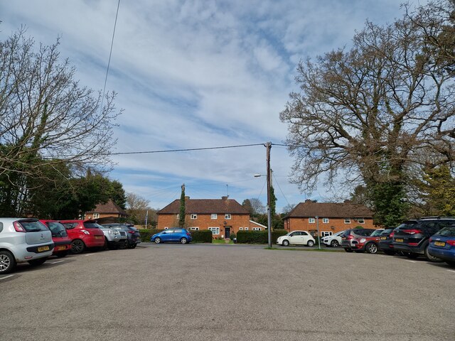
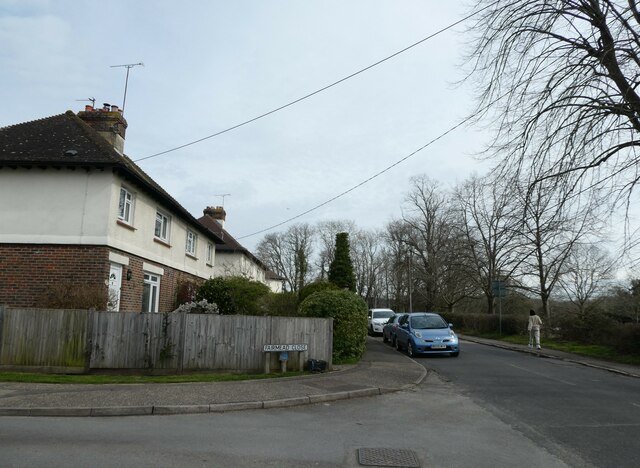
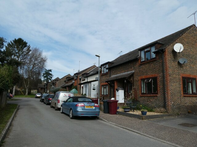
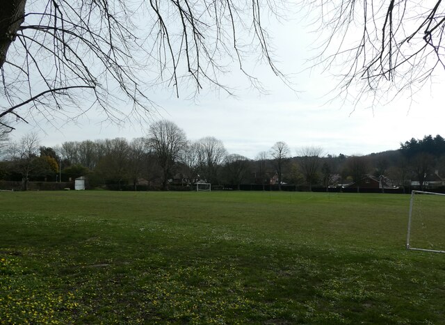
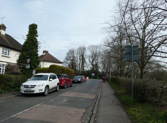
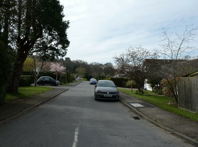
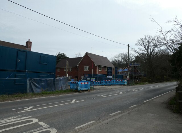
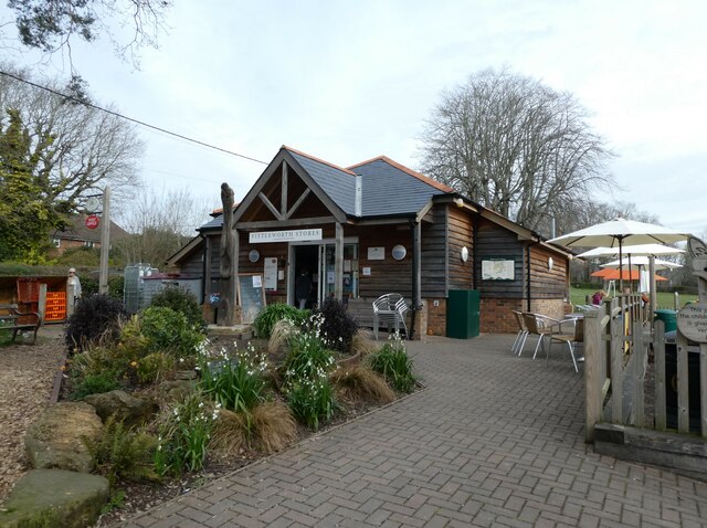
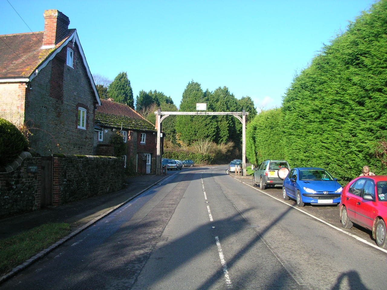
The village is characterized by its charming collection of traditional English cottages, many of which date back several centuries. The surrounding countryside is dotted with rolling hills, verdant fields, and meandering streams, providing a captivating backdrop for outdoor enthusiasts and nature lovers.
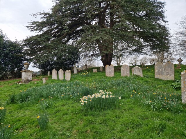
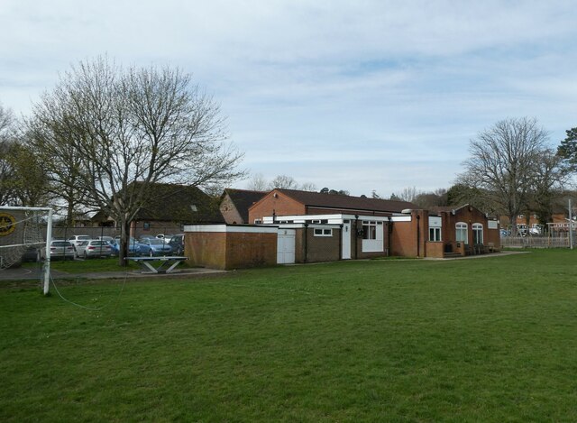
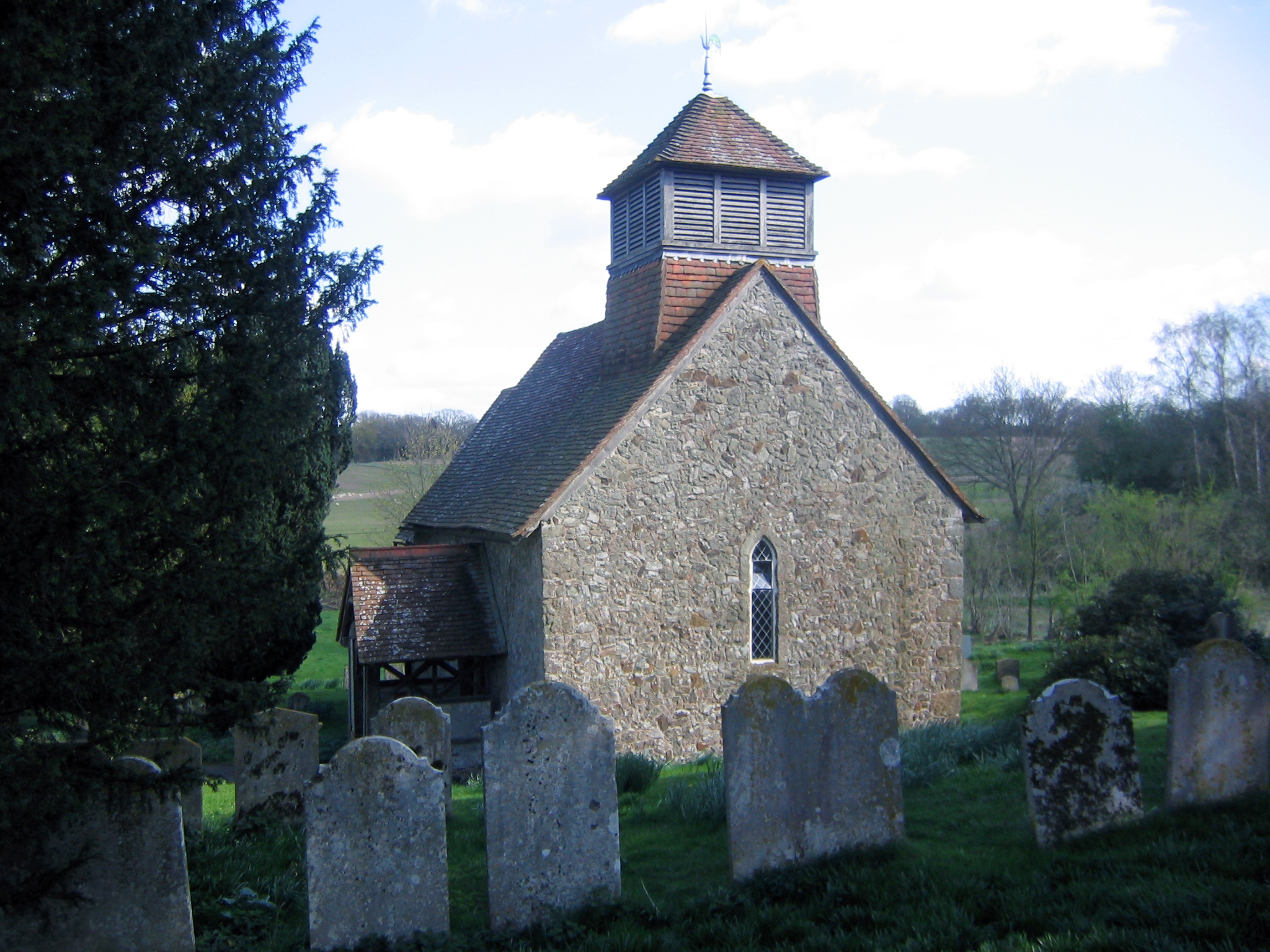
Lower Fittleworth is home to a close-knit community, with a population of around 500 residents. The village boasts a primary school, a village hall, and a quaint parish church, St. Mary's, which dates back to the 12th century. The church is a focal point for community events and religious services.
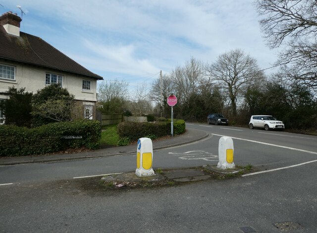
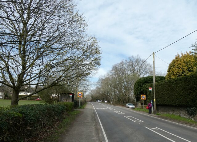
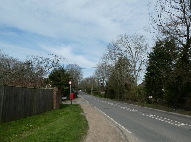
Despite its peaceful atmosphere, Lower Fittleworth is well-connected to nearby towns and cities. The A29 road runs through the village, providing easy access to larger towns such as Horsham and Chichester. The village is also served by several bus routes, ensuring convenient transportation options for residents.
The surrounding area offers numerous opportunities for outdoor activities. The South Downs Way, a long-distance footpath, passes close to the village, attracting hikers and cyclists. Additionally, the nearby Pulborough Brooks nature reserve provides a haven for birdwatchers and wildlife enthusiasts.
Lower Fittleworth is a quintessential English village, known for its idyllic countryside, community spirit, and rich history. It offers a peaceful retreat for those seeking a slower pace of life in the heart of Sussex.
If you have any feedback on the listing, please let us know in the comments section below.
Lower Fittleworth Images
Images are sourced within 2km of 50.957145/-0.565892 or Grid Reference TQ0018. Thanks to Geograph Open Source API. All images are credited.


Lower Fittleworth is located at Grid Ref: TQ0018 (Lat: 50.957145, Lng: -0.565892)
Administrative County: West Sussex
District: Chichester
Police Authority: Sussex
What 3 Words
///narrate.cabs.pursue. Near Pulborough, West Sussex
Nearby Locations
Related Wikis

Fittleworth railway station
Fittleworth railway station served the village of Fittleworth in the county of West Sussex in England. It was on the London Brighton and South Coast Railway...
Fittleworth
Fittleworth is a village and civil parish in the District of Chichester in West Sussex, England located seven kilometres (3 miles) west from Pulborough...
Coates, West Sussex
Coates is a downland village in the Chichester district of West Sussex, England. Coates lies one mile (1.7 km) southwest from Fittleworth and four miles...

Bedham
Bedham is a hamlet 4 kilometres (2+1⁄2 miles) east of Petworth in the Chichester District of West Sussex, England. It is in the civil parish of Wisborough...
Nearby Amenities
Located within 500m of 50.957145,-0.565892Have you been to Lower Fittleworth?
Leave your review of Lower Fittleworth below (or comments, questions and feedback).