Healey Hall Wood
Wood, Forest in Lancashire
England
Healey Hall Wood
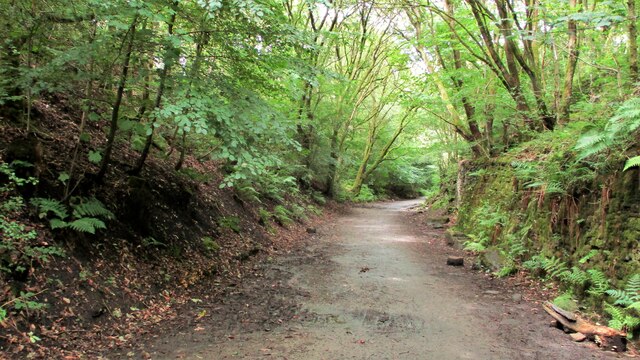
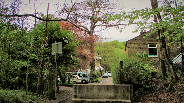
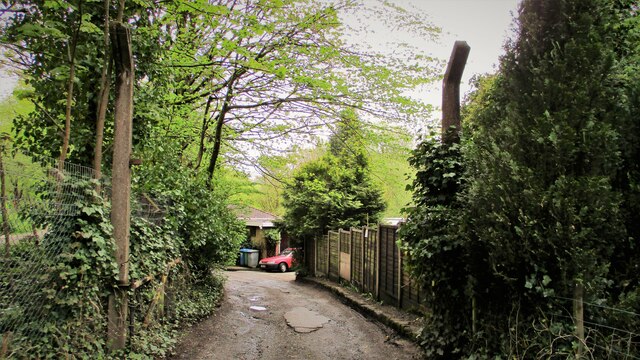
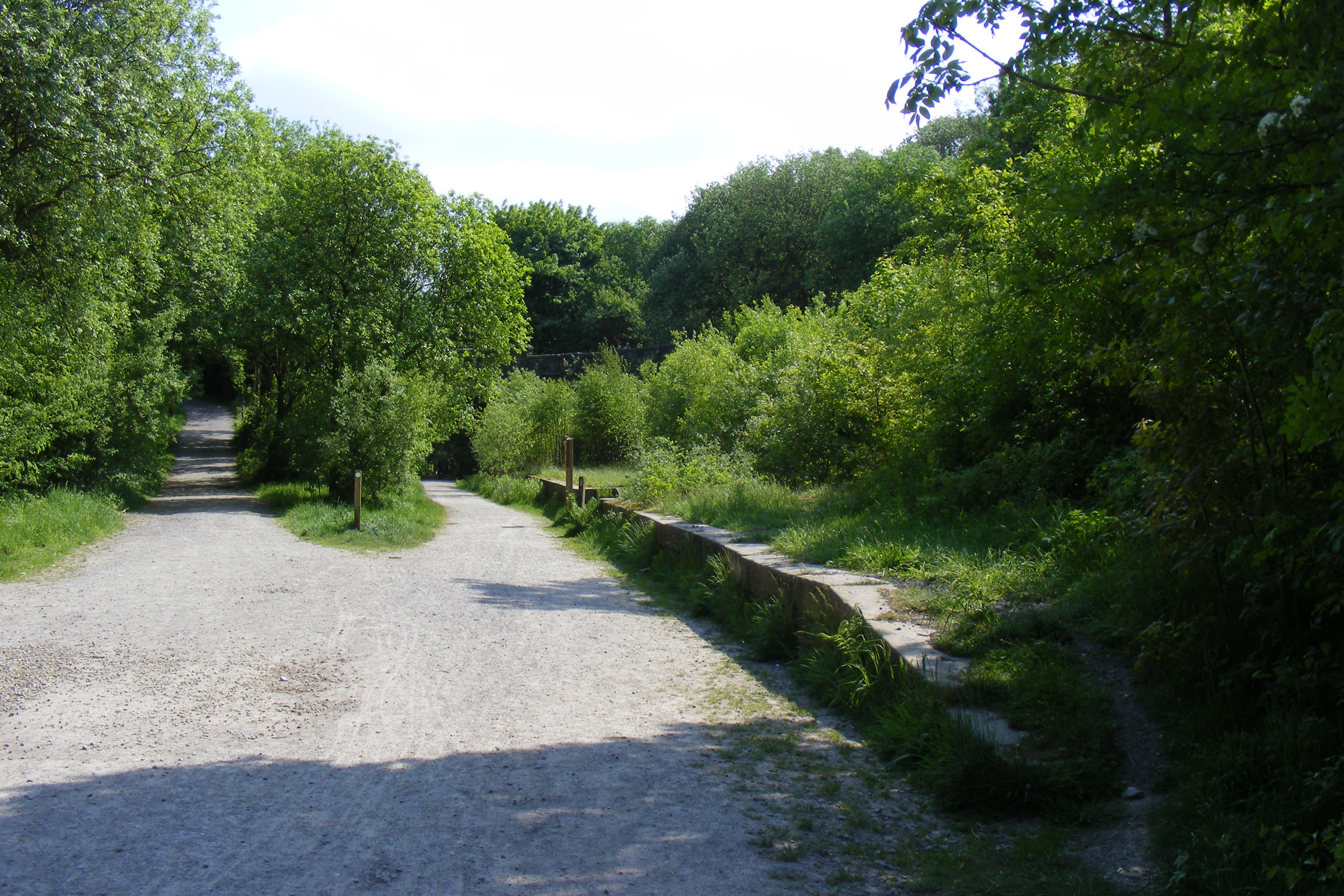
Healey Hall Wood is a picturesque woodland located in Lancashire, England. Spanning over an impressive 100 acres, it is known for its diverse range of flora and fauna, making it a popular destination for nature enthusiasts and hikers alike.
The wood is primarily composed of ancient deciduous trees, such as oak, beech, and birch, which create a dense canopy that provides shade and shelter for a variety of wildlife. The forest floor is carpeted with an array of wildflowers, including bluebells, primroses, and wood anemones, creating a vibrant and colorful display during the spring months.
Visitors to Healey Hall Wood will have the opportunity to spot a wide range of wildlife species. The wood is home to a multitude of bird species, including woodpeckers, jays, and tawny owls. Mammals such as deer, foxes, and badgers can also be seen roaming the woodland, while the presence of small mammals, including squirrels and hedgehogs, adds to the charm of the area.
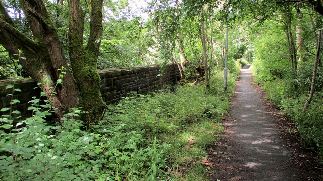
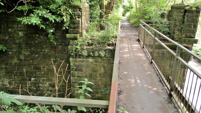
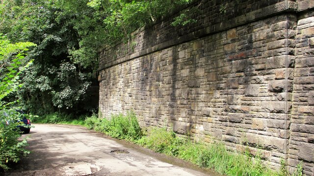
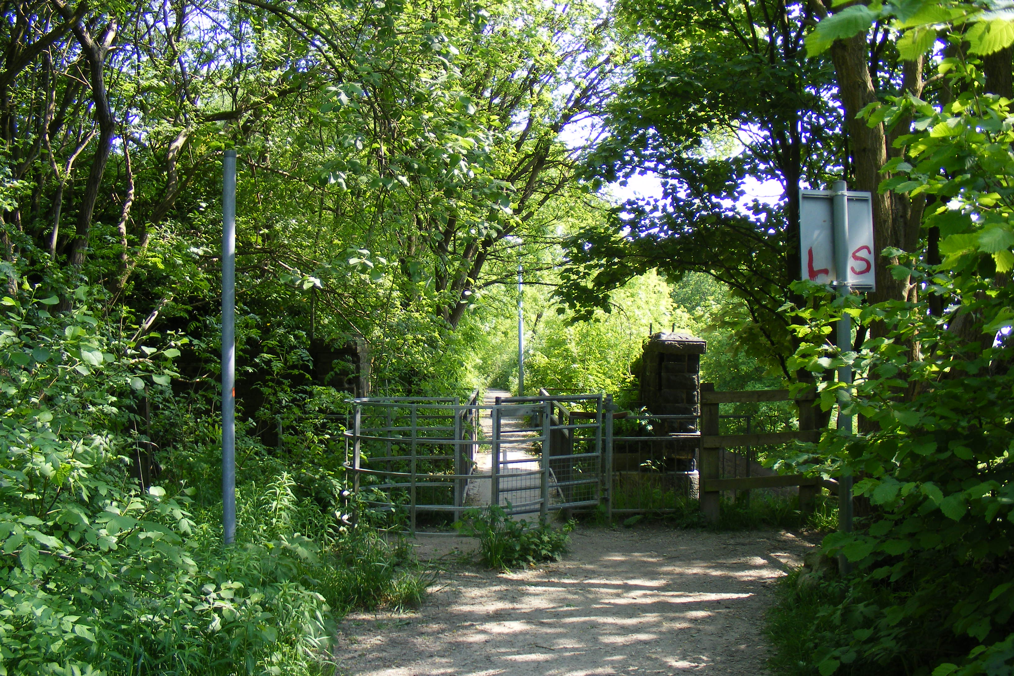
The wood offers a network of well-maintained footpaths and trails, allowing visitors to explore the area at their leisure. These paths wind through the woodland, offering breathtaking views of the surrounding countryside and providing opportunities for peaceful walks and picnics.
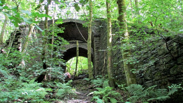
Healey Hall Wood is not only a haven for nature lovers but also holds historical significance. The wood is adjacent to Healey Hall, a Grade II listed building dating back to the 16th century. The hall, with its striking architecture and beautiful gardens, adds to the overall charm of the woodland.
Overall, Healey Hall Wood is a stunning natural habitat, combining beauty, tranquility, and historical significance. It offers a wonderful opportunity to connect with nature and escape the hustle and bustle of everyday life.
If you have any feedback on the listing, please let us know in the comments section below.
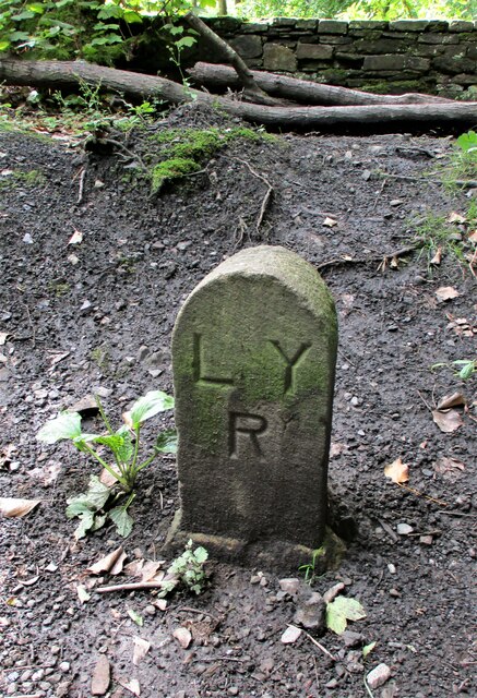
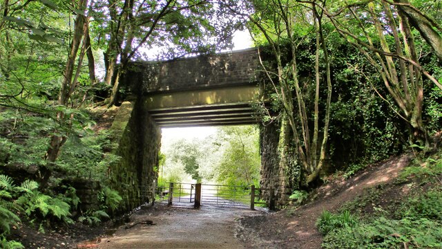
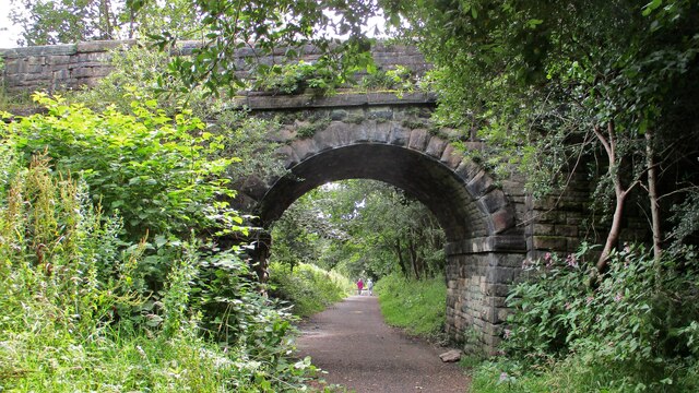
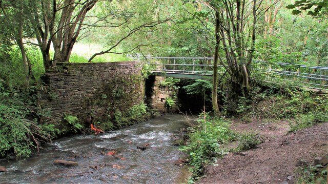
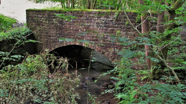
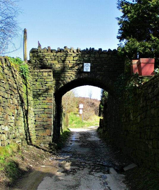
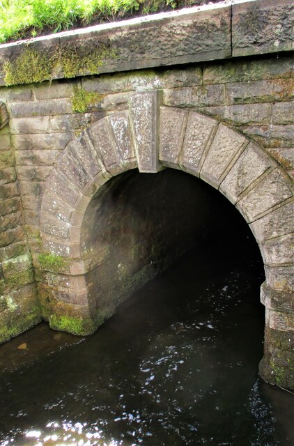
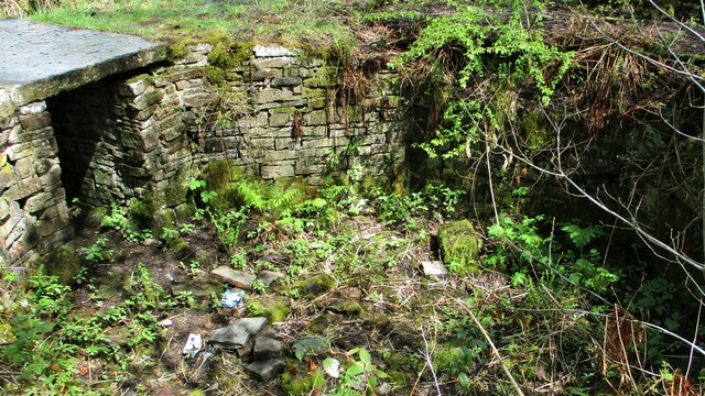
Healey Hall Wood Images
Images are sourced within 2km of 53.638588/-2.1813048 or Grid Reference SD8815. Thanks to Geograph Open Source API. All images are credited.
Healey Hall Wood is located at Grid Ref: SD8815 (Lat: 53.638588, Lng: -2.1813048)
Unitary Authority: Rochdale
Police Authority: Greater Manchester
What 3 Words
///lock.cotton.chats. Near Whitworth, Lancashire
Nearby Locations
Related Wikis
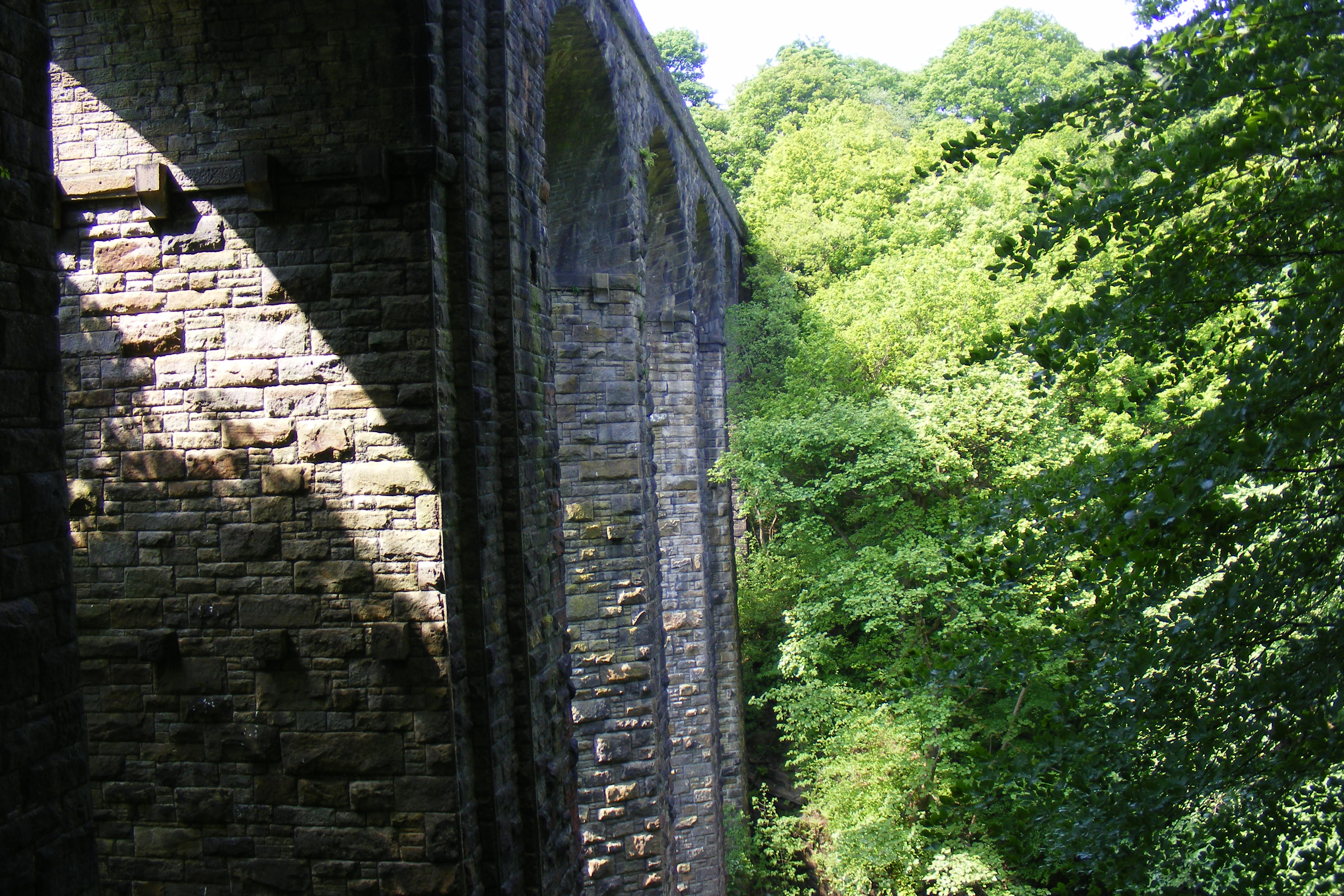
Healey Dell Viaduct
Healey Dell Viaduct is a viaduct situated in Healey Dell Nature Reserve in the Spodden Valley, on the outskirts of Rochdale in Greater Manchester, England...
Broadley railway station
Broadley railway station served Broadley in Rochdale, England, from 1870 until closure in 1947. It was situated at Healey Dell. == References == Lost Railways...

Healey, Greater Manchester
Healey is part of the Metropolitan Borough of Rochdale, Greater Manchester, England. Historically part of Lancashire, it includes Shawclough, Syke and...
Shawclough and Healey railway station
Shawclough & Healey railway station served the townships of Shawclough and Healey in Rochdale, in the Metropolitan Borough of Rochdale in Greater Manchester...

Shawclough
Shawclough is a mainly residential area north of Rochdale, Greater Manchester, England. Its boundaries are roughly Whitworth Road, Shawclough Road, and...

Nook Farm, Rochdale
Nook Farm (sometimes called Syke Estate) is an estate of council houses situated within the area of Syke, part of Rochdale, in Greater Manchester, England...
Falinge Park High School
Falinge Park High School is an 11–16 mixed comprehensive school in Shawclough area of the Metropolitan Borough of Rochdale in Greater Manchester, United...

Whitworth railway station
Whitworth railway station served the town of Whitworth, Rossendale, Lancashire, England, from 1870 until closure in 1947. == References == Lost Railways...
Nearby Amenities
Located within 500m of 53.638588,-2.1813048Have you been to Healey Hall Wood?
Leave your review of Healey Hall Wood below (or comments, questions and feedback).