Healey Dell
Valley in Lancashire Rossendale
England
Healey Dell
Healey Dell is a picturesque valley located in Lancashire, England. Situated near the town of Rochdale, this stunning natural landscape is a popular destination for nature lovers and history enthusiasts alike.
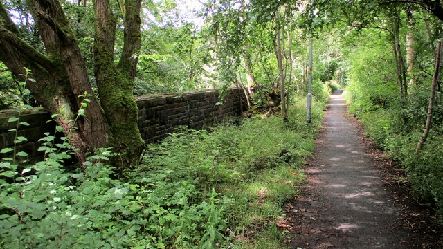
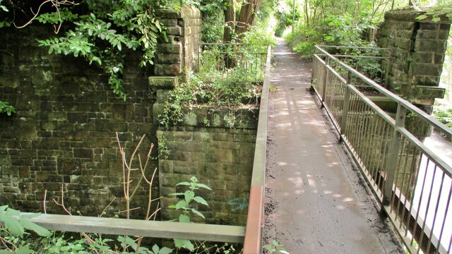
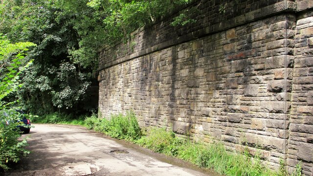
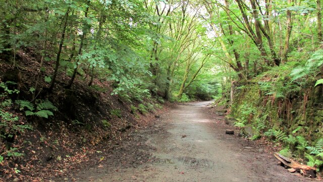
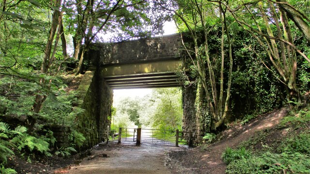
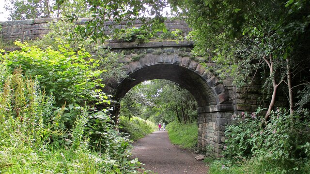
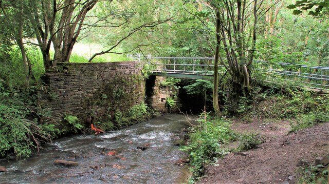
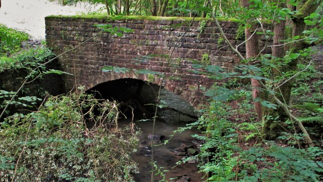
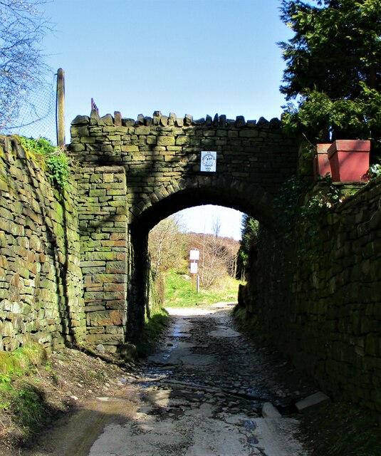
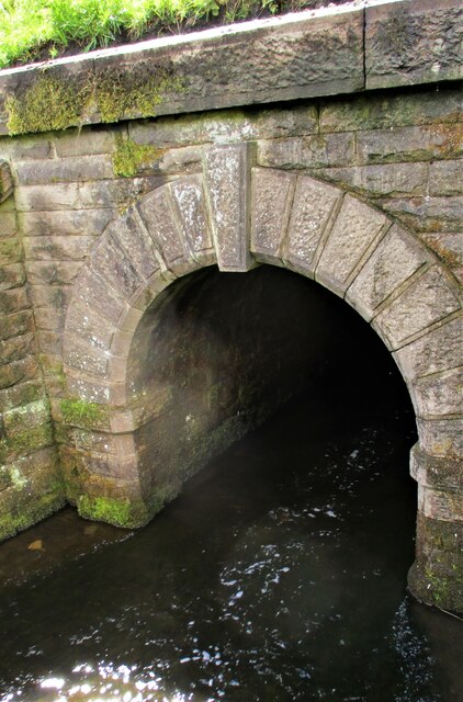
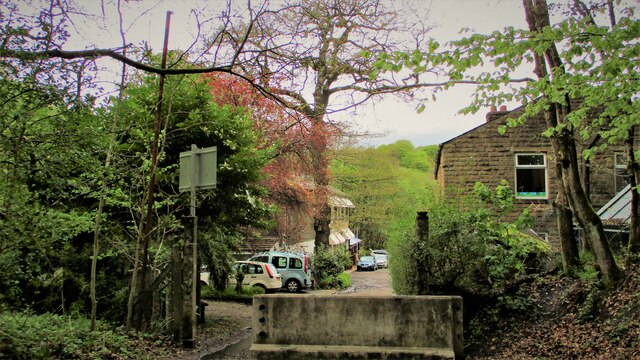
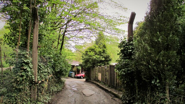
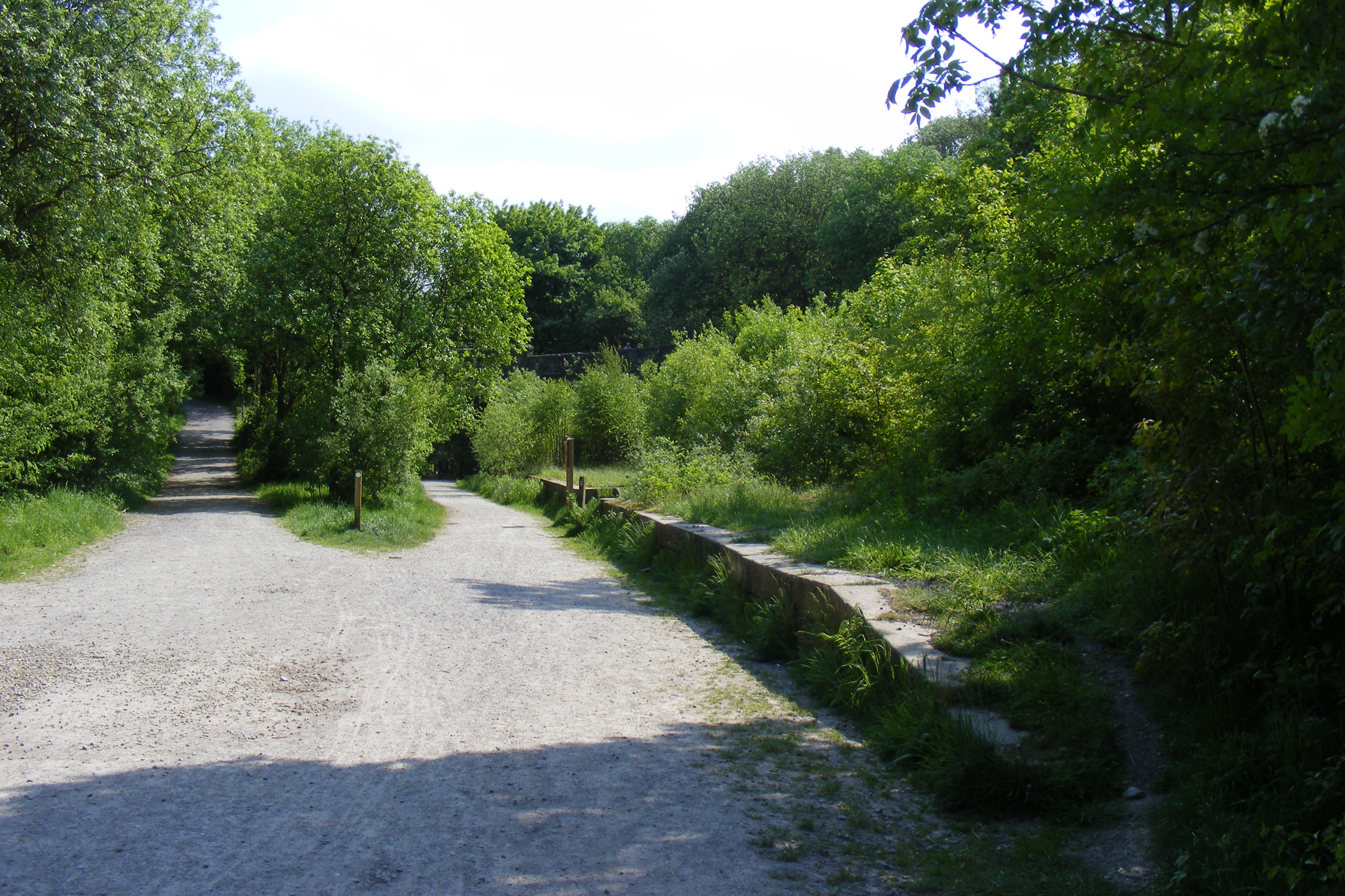
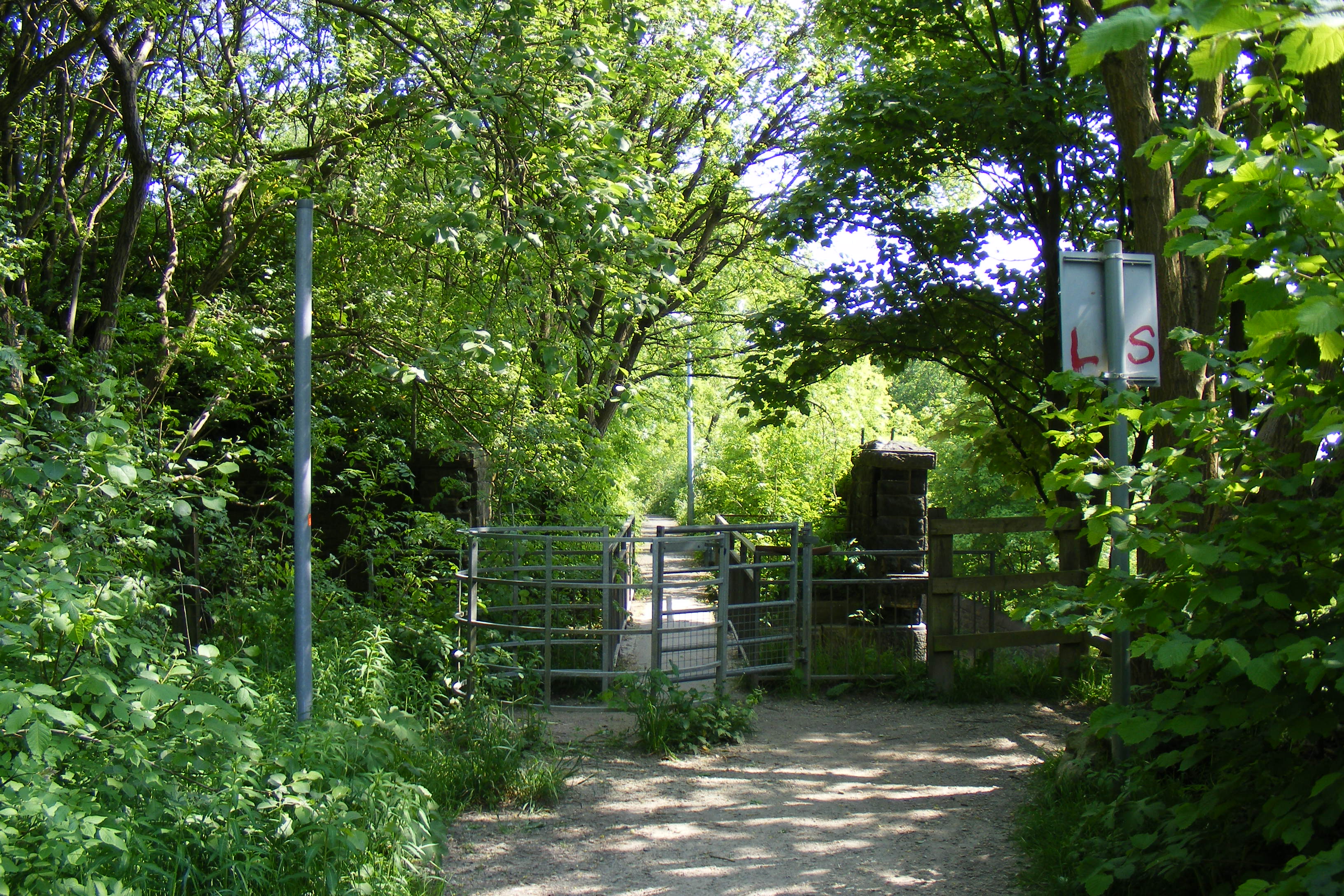
Covering an area of approximately 80 acres, Healey Dell is characterized by its deep gorge, wooded hillsides, and meandering river. The valley is home to an abundance of flora and fauna, including a variety of bird species, wildflowers, and ancient trees. Visitors can explore the well-maintained footpaths and bridges that wind through the valley, providing breathtaking views of the surrounding countryside.
One of the main attractions of Healey Dell is the captivating Healey Dell Nature Reserve. This protected area boasts a diverse range of habitats, including wetlands, woodlands, and grasslands. It is home to several rare plant species and provides a haven for wildlife, including bats, badgers, and kingfishers.
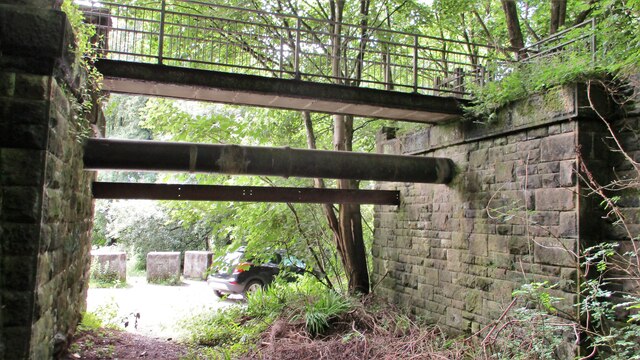
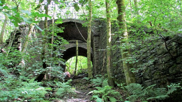
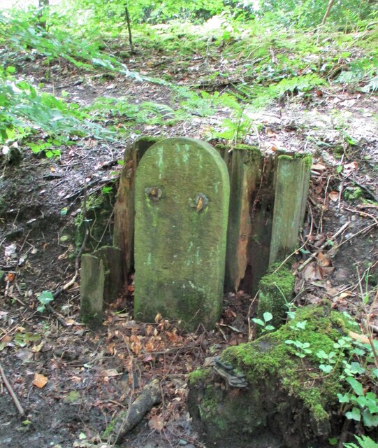
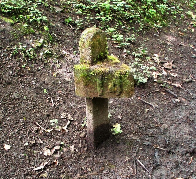
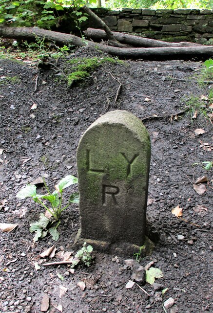
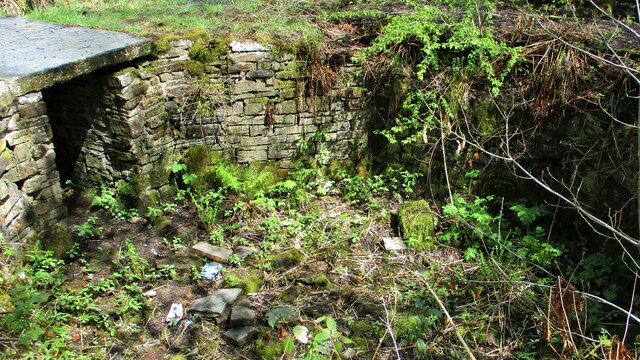
In addition to its natural beauty, Healey Dell is steeped in history. The valley was once home to a thriving textile industry during the Industrial Revolution, with numerous mills and factories dotting the landscape. Today, remnants of this industrial past can still be seen, including the ruins of a cotton mill and a magnificent railway viaduct.
Healey Dell is a popular destination for outdoor activities such as walking, picnicking, and wildlife spotting. The valley also hosts various events throughout the year, including guided walks, educational programs, and seasonal celebrations.
Overall, Healey Dell offers a tranquil escape from the hustle and bustle of everyday life, providing visitors with a unique opportunity to immerse themselves in the beauty of nature while exploring its rich history.
If you have any feedback on the listing, please let us know in the comments section below.
Healey Dell Images
Images are sourced within 2km of 53.640071/-2.1813717 or Grid Reference SD8815. Thanks to Geograph Open Source API. All images are credited.
Healey Dell is located at Grid Ref: SD8815 (Lat: 53.640071, Lng: -2.1813717)
Administrative County: Lancashire
District: Rossendale
Police Authority: Lancashire
What 3 Words
///flips.during.half. Near Whitworth, Lancashire
Nearby Locations
Related Wikis
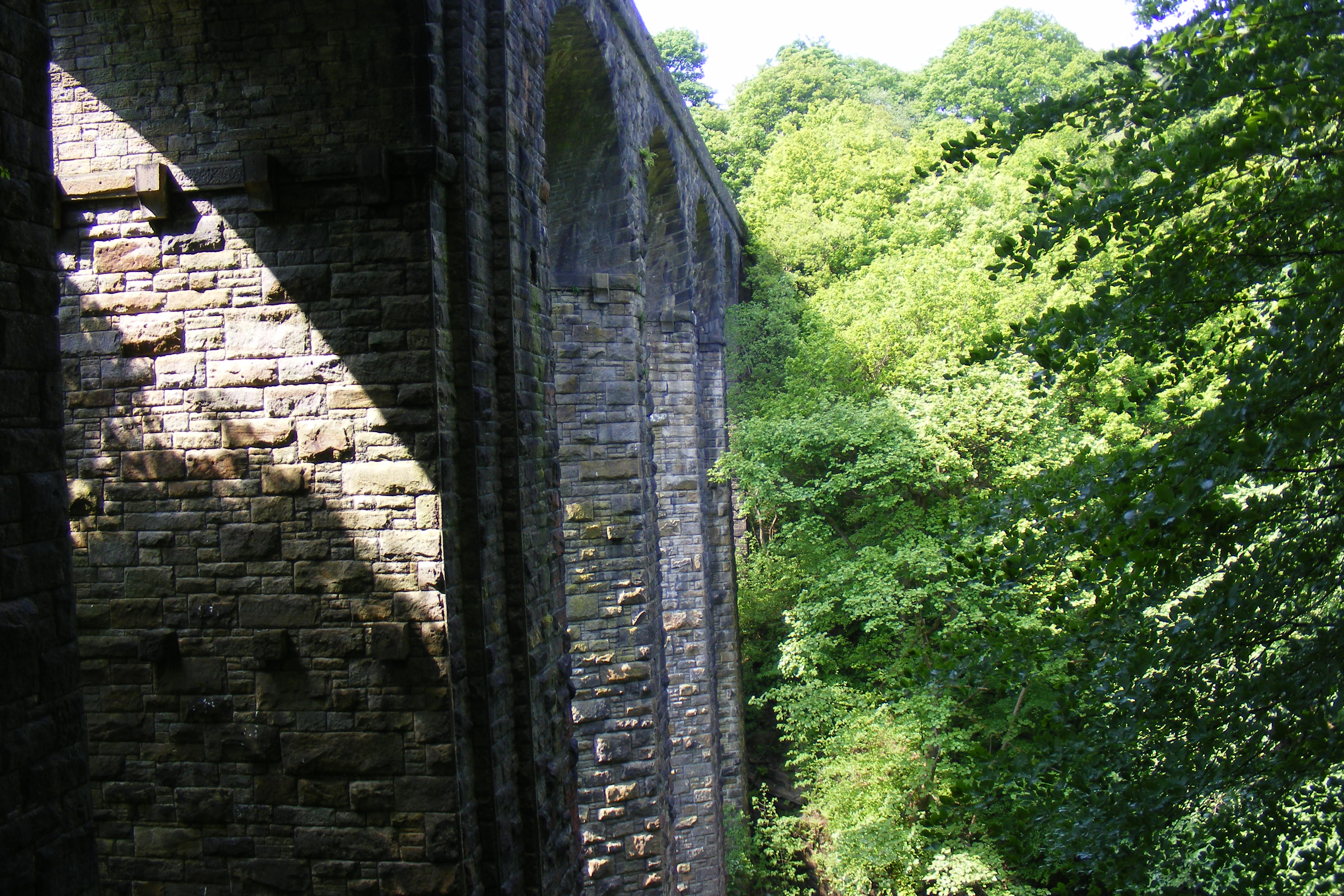
Healey Dell Viaduct
Healey Dell Viaduct is a viaduct situated in Healey Dell Nature Reserve in the Spodden Valley, on the outskirts of Rochdale in Greater Manchester, England...
Broadley railway station
Broadley railway station served Broadley in Rochdale, England, from 1870 until closure in 1947. It was situated at Healey Dell. == References == Lost Railways...

Healey, Greater Manchester
Healey is part of the Metropolitan Borough of Rochdale, Greater Manchester, England. Historically part of Lancashire, it includes Shawclough, Syke and...
Shawclough and Healey railway station
Shawclough & Healey railway station served the townships of Shawclough and Healey in Rochdale, in the Metropolitan Borough of Rochdale in Greater Manchester...
Nearby Amenities
Located within 500m of 53.640071,-2.1813717Have you been to Healey Dell?
Leave your review of Healey Dell below (or comments, questions and feedback).