Woodcroft Wood

Wood, Forest in Wiltshire

England

Woodcroft Wood

Entrance to Morrisons loading bay Warminster
Entrance to Morrisons loading bay Warminster Credit: thejackrustles

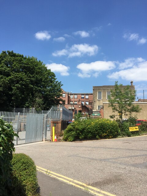
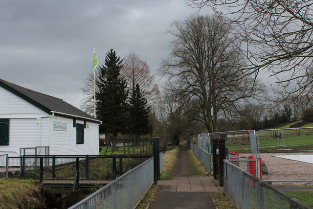
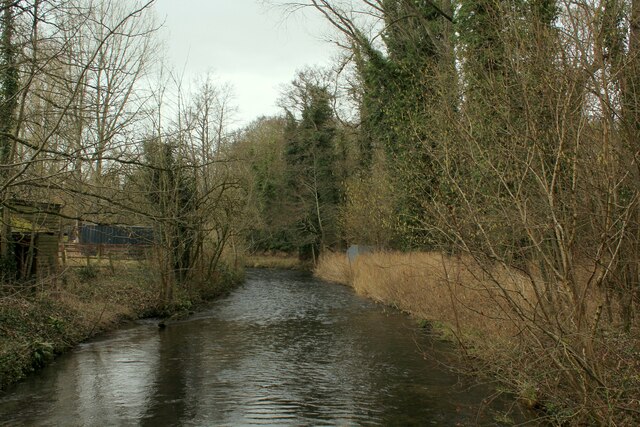
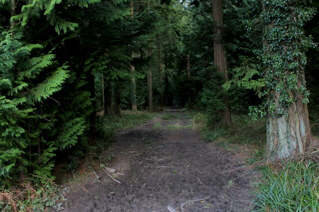
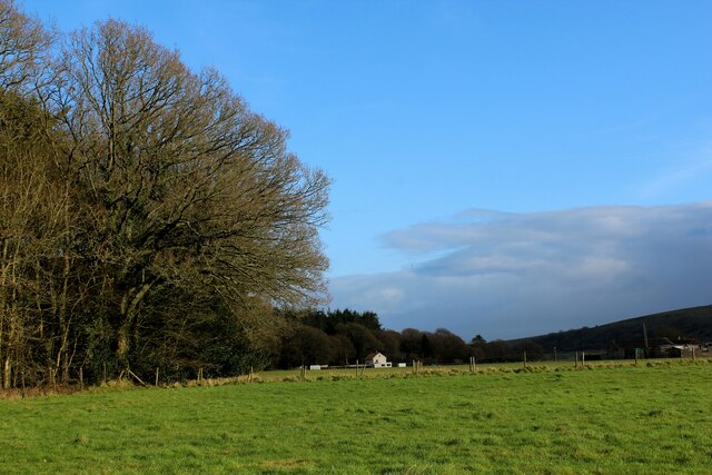
Woodcroft Wood, also known as Woodcroft Forest, is a picturesque woodland located in the county of Wiltshire, England. Spanning over an area of approximately 100 acres, the wood is a popular destination for nature enthusiasts and outdoor enthusiasts alike.

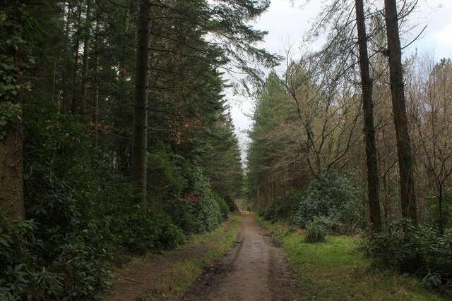
The woodland is characterized by its diverse range of tree species, including oak, beech, birch, and ash. These majestic trees create a dense canopy that filters the sunlight, casting a soothing dappled light on the forest floor. The wood is also home to a variety of wildlife, such as deer, foxes, rabbits, and numerous bird species.

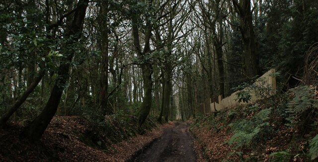
Visitors to Woodcroft Wood can enjoy a network of well-maintained footpaths that meander through the woodland, allowing for leisurely walks and exploration. The wood is particularly beautiful during the spring and summer months when the forest floor is adorned with colorful wildflowers, creating a vibrant and enchanting atmosphere.

In addition to its natural beauty, Woodcroft Wood also holds historical significance. It is believed that the wood has been in existence for hundreds of years and has served as a hunting ground for local nobility in the past. Remnants of old walls and structures can still be found within the woodland, providing a glimpse into its rich history.

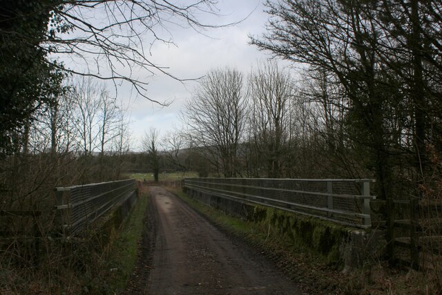
Woodcroft Wood is easily accessible, with parking facilities available nearby. It offers a tranquil escape from the hustle and bustle of daily life, providing a serene environment for nature lovers to connect with the natural world. Whether it's a peaceful stroll, birdwatching, or simply enjoying the tranquility, Woodcroft Wood offers a delightful experience for all who visit.

If you have any feedback on the listing, please let us know in the comments section below.

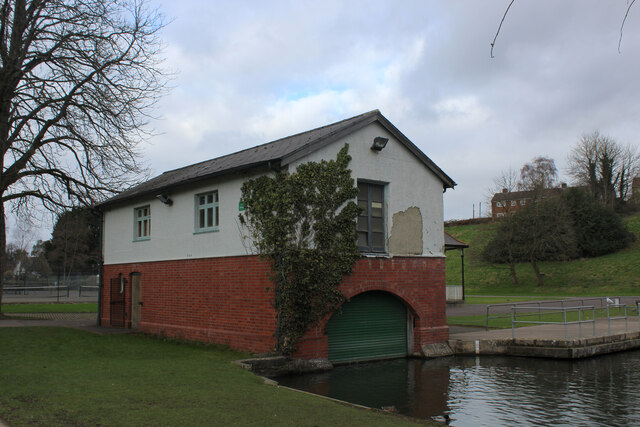
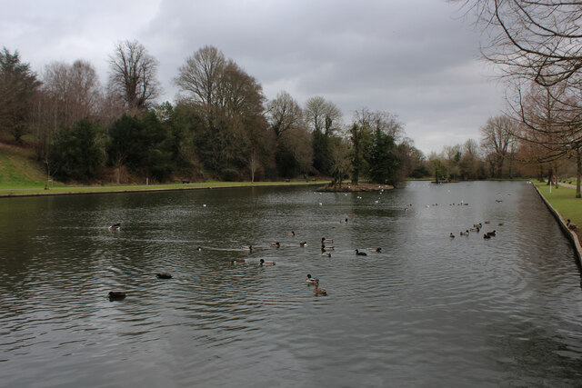
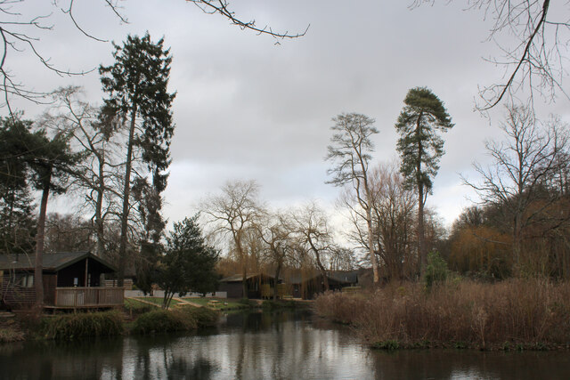
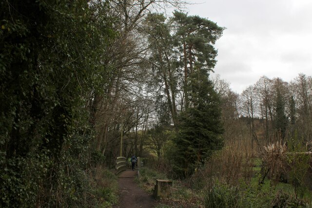
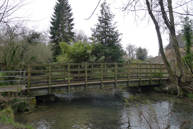
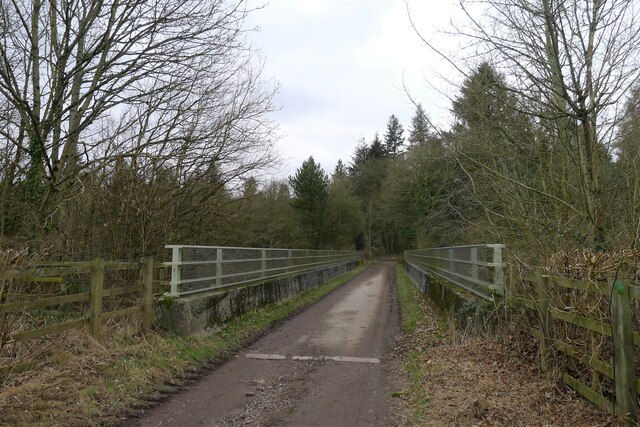
Woodcroft Wood Images

Images are sourced within 2km of 51.188826/-2.1715713 or Grid Reference ST8843. Thanks to Geograph Open Source API. All images are credited.

Entrance to Morrisons loading bay Warminster
Number 13 Weymouth Road, Warminster
OS Cut Mark - Warminster,  Number 13 Weymouth Road <span class="nowrap"><a title="https://www.bench-marks.org.uk/bm35446" rel="nofollow ugc noopener" href="https://www.bench-marks.org.uk/bm35446">Link</a><img style="margin-left:2px;" alt="External link" title="External link - shift click to open in new window" src="https://s1.geograph.org.uk/img/external.png" width="10" height="10"/></span>
OS Cut Mark - Warminster, Number 13 Weymouth Road
Beside The Were Following a footpath beside The Were or Swan River, a tributary of the Wylye. The white wooden building is the Pavilion Cafe, part of the Warminster Pleasure Grounds.
Beside The Were
Following a footpath beside The Were or Swan River, a tributary of the Wylye. The white wooden building is the Pavilion Cafe, part of the Warminster Pleasure Grounds.
The Boathouse in Warminster Pleasure Grounds The building appears to have a double purpose as a boathouse, and public conveniences.
The Boathouse in Warminster Pleasure Grounds
The building appears to have a double purpose as a boathouse, and public conveniences.
The Boating Lake, Warminster Part of the Lake Pleasure Grounds in Warminster
The Boating Lake, Warminster
Part of the Lake Pleasure Grounds in Warminster
Hunters Moon Lodges A holiday park in Henfords Marsh beside the River Wylye, near Warminster
Hunters Moon Lodges
A holiday park in Henfords Marsh beside the River Wylye, near Warminster
Footpath in Henfords Marsh The path crosses the River Wylye near Warminster
Footpath in Henfords Marsh
The path crosses the River Wylye near Warminster
River Wylye near Warminster The river slowly makes its way through Henfords Marsh
River Wylye near Warminster
The river slowly makes its way through Henfords Marsh
Track in Woodcroft Wood Bridleway heading southwards to Southleigh Woods
Track in Woodcroft Wood
Bridleway heading southwards to Southleigh Woods
Bridge over the A36 Bridleway crossing the A36 from Southleigh Wood
Bridge over the A36
Bridleway crossing the A36 from Southleigh Wood
Southleigh Wood Track heading southwards to the village of Longbridge Deverill
Southleigh Wood
Track heading southwards to the village of Longbridge Deverill
Track in Southleigh Wood
Edge of Southleigh Wood Southern edge of the woods
Edge of Southleigh Wood
Southern edge of the woods
The River Were (aka Swan River), Warminster Warminster = 'Church on the River Were' (were = old English for 'winding') <span class="nowrap"><a title="https://www.oxfordreference.com/view/10.1093/acref/9780199609086.001.0001/acref-9780199609086" rel="nofollow ugc noopener" href="https://www.oxfordreference.com/view/10.1093/acref/9780199609086.001.0001/acref-9780199609086">Link</a><img style="margin-left:2px;" alt="External link" title="External link - shift click to open in new window" src="https://s1.geograph.org.uk/img/external.png" width="10" height="10"/></span>
The River Were (aka Swan River), Warminster
Warminster = 'Church on the River Were' (were = old English for 'winding') LinkExternal link
Public convenience, Warminster Town Park Occupying a boathouse. The park was built in the 1920s on the site of the town's Old Refuse Tip and, as a labour-intensive scheme, helped alleviate the high unemployment after the First World War <span class="nowrap"><a title="https://wshc.org.uk/blog/item/warminster-lake-pleasure-grounds.html" rel="nofollow ugc noopener" href="https://wshc.org.uk/blog/item/warminster-lake-pleasure-grounds.html">Link</a><img style="margin-left:2px;" alt="External link" title="External link - shift click to open in new window" src="https://s1.geograph.org.uk/img/external.png" width="10" height="10"/></span>
Public convenience, Warminster Town Park
Occupying a boathouse. The park was built in the 1920s on the site of the town's Old Refuse Tip and, as a labour-intensive scheme, helped alleviate the high unemployment after the First World War LinkExternal link
Footbridge over the River Wylye, Henfords Marsh Leading from the southern edge of Warminster to Eastleigh and Southleigh woods
Footbridge over the River Wylye, Henfords Marsh
Leading from the southern edge of Warminster to Eastleigh and Southleigh woods
Bridleway track leading to Eastleigh Wood Crossing the A36 south of Warminster
Bridleway track leading to Eastleigh Wood
Crossing the A36 south of Warminster
Show me another place!

Woodcroft Wood is located at Grid Ref: ST8843 (Lat: 51.188826, Lng: -2.1715713)

Unitary Authority: Wiltshire

Police Authority: Wiltshire

What 3 Words

///shoulders.panels.famed. Near Bishopstrow, Wiltshire

Related Wikis

Bishopstrow

Bishopstrow is a small village and civil parish in Wiltshire, England, on the southeastern edge of the town of Warminster. The village is about 1.5 miles...

St John's Church, Warminster

St John's Church, in full the Church of St John the Evangelist, is a Church of England church in the Boreham area in the south-east of the town of Warminster...

Kingdown School

Kingdown School is a mixed secondary school and sixth form in Warminster, Wiltshire, England for students aged 11 to 18. Since 1 August 2011, the school...

Christ Church, Warminster

Christ Church is an Anglican church building serving a parish on the southern side of Warminster, Wiltshire, England. == History == The church was built...

Warminster Town F.C.

Warminster Town Football Club are a football club based in Warminster, Wiltshire, England. They are currently members of the Western League Division One...

Battlesbury Barracks

Battlesbury Barracks is a British Army installation in Warminster, Wiltshire, England. It is the permanent base of the Royal Dragoon Guards, serving as...

Bishopstrow House

Bishopstrow Hotel & Spa is a late-Georgian English country house standing near the B3414 (Salisbury road) in the parish of Bishopstrow, about a mile east...

Warminster Town Hall

Warminster Town Hall is a former municipal building in the Market Place of Warminster, Wiltshire, England. The structure, which served as the headquarters...

Nearby Amenities

Located within 500m of 51.188826,-2.1715713
Woodcroft Wood
Place: locality
Lat/Long: 51.1885843/-2.1719793
Power: pole
Lat/Long: 51.1898052/-2.1783342
Power: pole
Lat/Long: 51.1898743/-2.1780881
Power: pole
Lat/Long: 51.1893608/-2.1768319
Power: pole
Lat/Long: 51.1894519/-2.1773748
Power: pole
Lat/Long: 51.1858766/-2.1685231
Power: pole
Lat/Long: 51.1861136/-2.1706581
Power: pole
Lat/Long: 51.1869962/-2.1725115
Power: pole
Lat/Long: 51.1875645/-2.17374
Power: pole
Lat/Long: 51.1880873/-2.175462
Power: pole
Lat/Long: 51.1885698/-2.1762827
Power: pole
Lat/Long: 51.1889463/-2.1769318
Power: pole
Lat/Long: 51.1890859/-2.1770391
Power: pole
Lat/Long: 51.1862633/-2.170701
Power: pole
Lat/Long: 51.1871106/-2.1724498
Power: pole
Lat/Long: 51.1889917/-2.176339
Power: pole
Lat/Long: 51.1892304/-2.1768299
The data included in this document is from www.openstreetmap.org. The data is made available under ODbL.

Have you been to Woodcroft Wood?

Leave your review of Woodcroft Wood below (or comments, questions and feedback).