Otters Had
Coastal Feature, Headland, Point in Shetland
Scotland
Otters Had
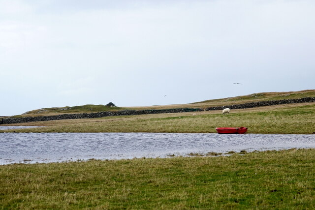
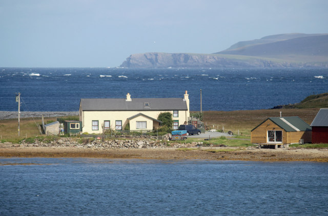
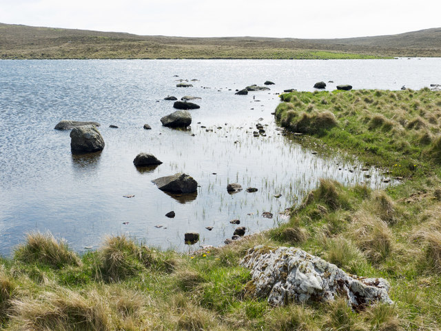
Otters Had is a coastal feature located in the Shetland Islands, an archipelago off the northeast coast of Scotland. It is specifically situated on the mainland of Shetland, near the village of Bixter. Otters Had is categorized as a headland or point, jutting out into the North Atlantic Ocean.
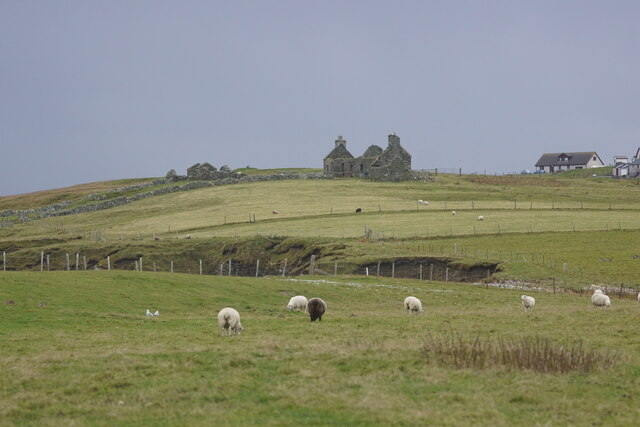
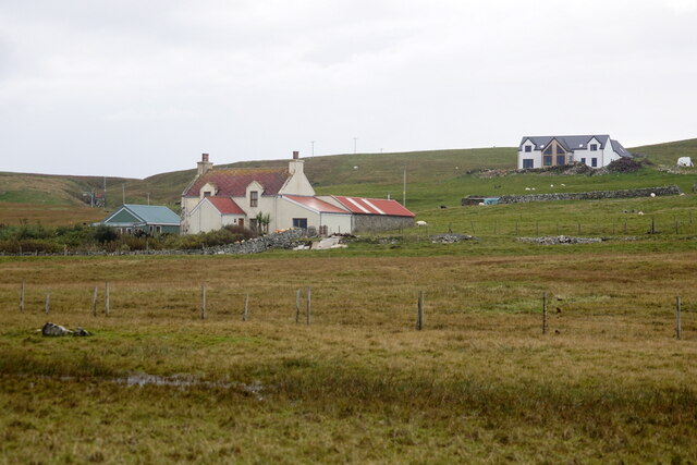
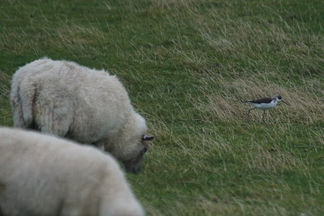
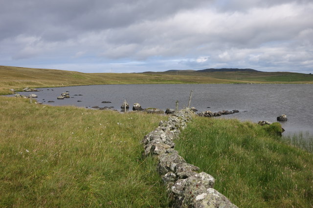
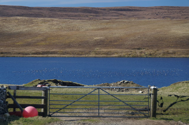
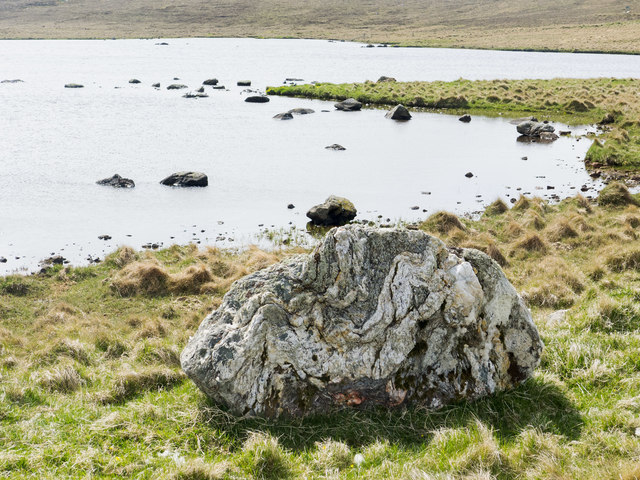
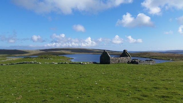
This coastal feature is known for its rugged and dramatic landscape, characterized by steep cliffs and rocky outcrops. The headland offers breathtaking views of the surrounding sea and coastal scenery. The area is rich in wildlife, particularly otters, which have become synonymous with the name of this coastal feature.
The name "Otters Had" is derived from the presence of otters, which are frequently spotted in the area. These playful and elusive mammals are well-adapted to the marine environment and can often be seen swimming, diving, and hunting for fish along the coastline.
Access to Otters Had is relatively easy, with a small car park located nearby, allowing visitors to park their vehicles and explore the headland on foot. There are well-maintained footpaths that lead visitors along the cliff edges, offering stunning views of the surrounding landscape and the opportunity to spot wildlife.
Otters Had is a popular destination for nature enthusiasts, photographers, and hikers, who are drawn to its natural beauty and the chance to observe otters in their natural habitat. The area is also an important breeding ground for various seabird species, adding to its ecological significance.
Overall, Otters Had is a picturesque coastal feature that showcases the rugged beauty of the Shetland Islands and offers visitors the chance to experience the rich wildlife and natural wonders of this unique region.
If you have any feedback on the listing, please let us know in the comments section below.
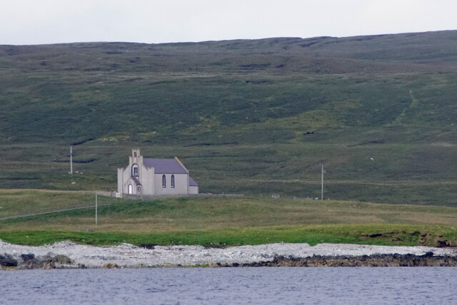
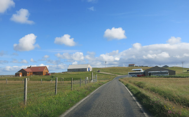
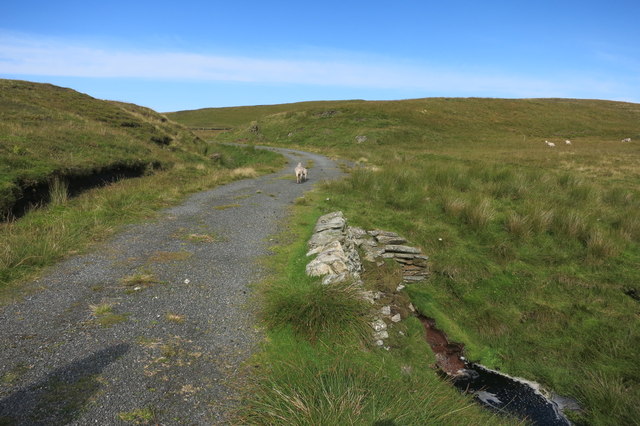
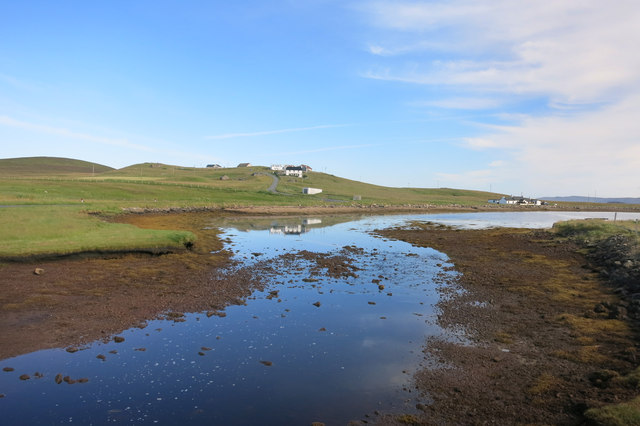
Otters Had Images
Images are sourced within 2km of 60.702369/-0.99255887 or Grid Reference HP5502. Thanks to Geograph Open Source API. All images are credited.


Otters Had is located at Grid Ref: HP5502 (Lat: 60.702369, Lng: -0.99255887)
Unitary Authority: Shetland Islands
Police Authority: Highlands and Islands
What 3 Words
///pinging.trial.activates. Near Gutcher, Shetland Islands
Nearby Locations
Related Wikis

Cullivoe
Cullivoe (Old Norse: Kollavágr - Bay of Kolli), is a village on Yell in the Shetland Islands. It is in the north east of the island, near Bluemull Sound...

Bluemull Sound
Bluemull Sound is the strait between Unst and Yell in Shetland's North Isles. A ferry service crosses it regularly. Cullivoe is on the Yell side, and the...

Belmont House, Shetland
Belmont House is a neo classical Georgian Country House Estate on the island of Unst, the most northerly of the Shetland Islands, [United Kingdom] and...

St Olaf's Church, Unst
St Olaf's Church, Unst is a ruined medieval church located on the island of Unst, in Shetland, Scotland, UK. The church was built in the Celtic style,...
Have you been to Otters Had?
Leave your review of Otters Had below (or comments, questions and feedback).