East Punds Geo
Coastal Feature, Headland, Point in Shetland
Scotland
East Punds Geo
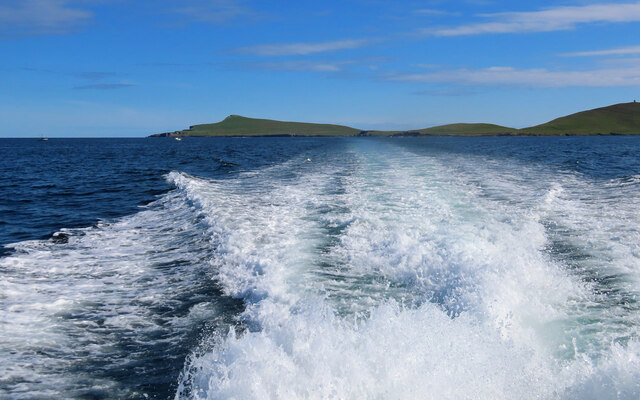
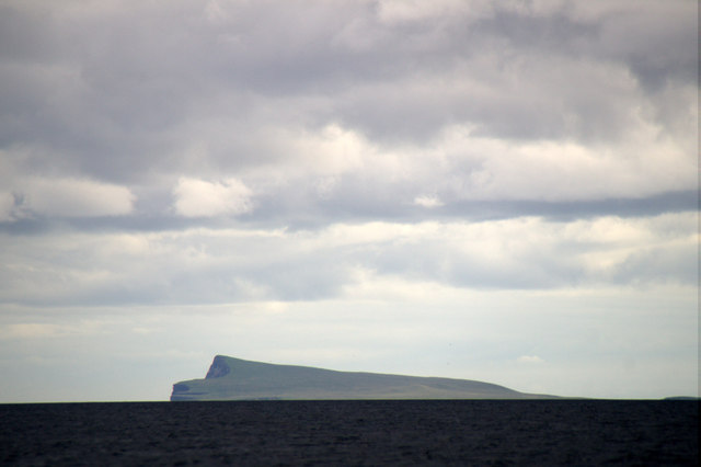
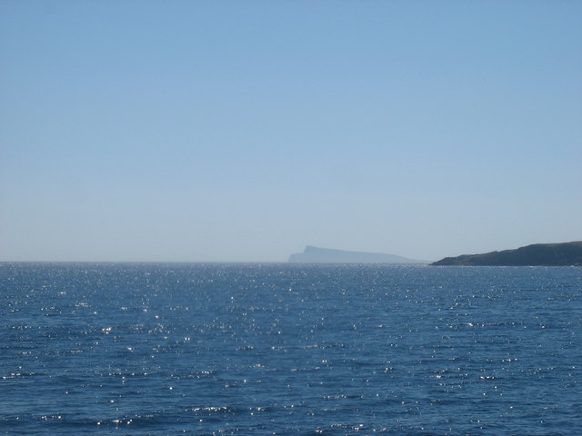
East Punds Geo is a prominent coastal feature located in the Shetland Islands, Scotland. It is classified as a headland or a point, with its unique geological formation distinguishing it amongst the surrounding landscape. Situated on the eastern coast of Shetland, East Punds Geo boasts a rugged and dramatic appearance, making it a popular attraction for both locals and tourists.
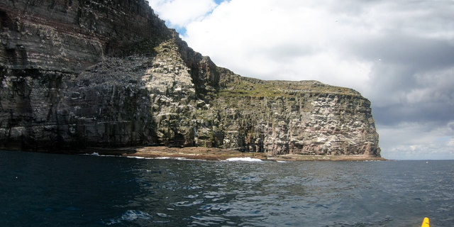
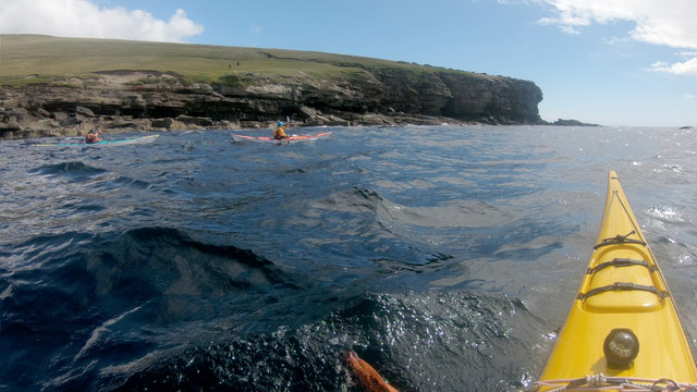
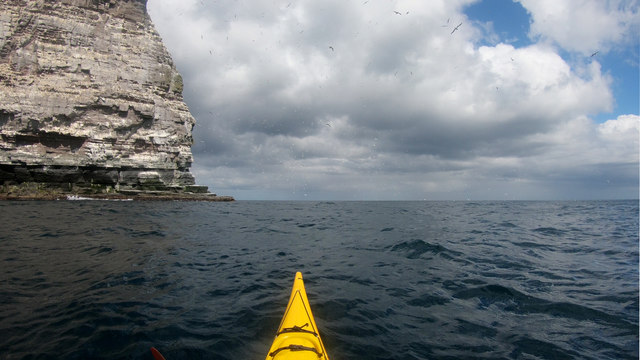
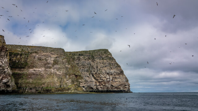
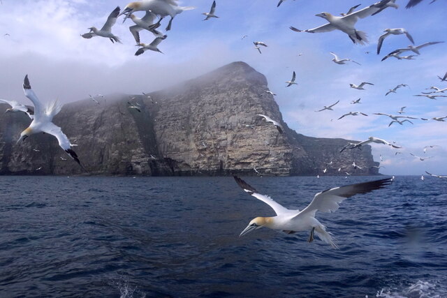
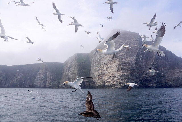
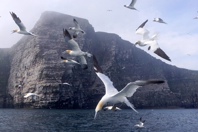
The headland is characterized by its towering cliffs that rise steeply from the sea, forming a striking natural fortress. These cliffs are primarily composed of ancient sandstone and shale, creating a diverse and visually captivating geological display. Over centuries, the relentless force of the waves has carved out caves, arches, and stacks, adding to the area's extraordinary charm.
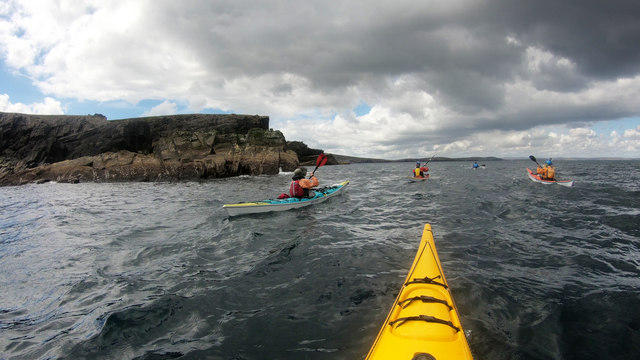
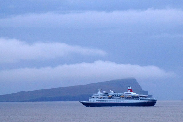
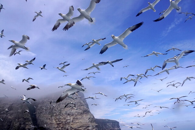
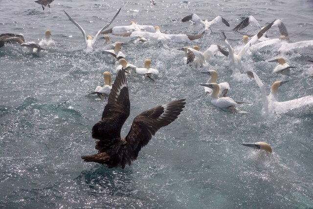
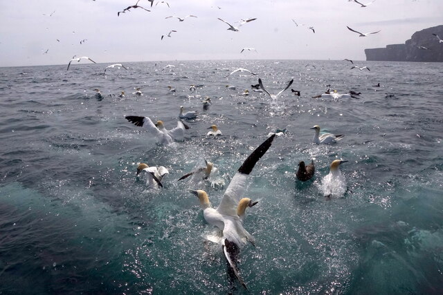
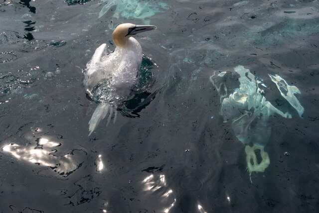
East Punds Geo also offers breathtaking panoramic views of the North Sea, with the surrounding waters teeming with diverse marine life. Visitors often spot seals, dolphins, and various seabird species in the vicinity, making it a haven for wildlife enthusiasts. The headland's exposed location also provides a unique opportunity for birdwatching, with sightings of puffins, guillemots, and fulmars being particularly common.
Moreover, East Punds Geo is steeped in history and folklore. It is believed to have served as a lookout point for ancient settlers, offering protection and strategic vantage points. The area also holds cultural significance, with several archaeological sites and remnants of human occupation discovered in its vicinity.
Overall, East Punds Geo stands as a mesmerizing coastal feature, showcasing Scotland's rich geological heritage while also providing a haven for wildlife and offering glimpses into the region's storied past.
If you have any feedback on the listing, please let us know in the comments section below.
East Punds Geo Images
Images are sourced within 2km of 60.150878/-1.0089691 or Grid Reference HU5541. Thanks to Geograph Open Source API. All images are credited.


East Punds Geo is located at Grid Ref: HU5541 (Lat: 60.150878, Lng: -1.0089691)
Unitary Authority: Shetland Islands
Police Authority: Highlands and Islands
What 3 Words
///bluff.mass.begin. Near Lerwick, Shetland Islands
Related Wikis

Isle of Noss
The Isle of Noss or Noss (Scots: Noss) is a small, previously inhabited island in Shetland, Scotland. Noss is separated from the island of Bressay by the...

Holm of Noss
The Holm of Noss or Cradle Holm is an uninhabited islet of the Shetland Islands. It is about 48m at its highest point. == Geography and geology == It is...

Broch of Cullingsburgh
The Broch of Cullingsburgh is an Iron Age broch located in the Shetland islands. == Location == Located on Bressay, off the east coast of mainland Shetland...
Voe of Cullingsburgh
Voe of Cullingsburgh is a large sea loch off the Shetland island of Bressay, voe meaning "sea inlet" in Shetland dialect. The local spelling of the name...

Bressay
Bressay (Scots: Bressa) is a populated island in the Shetland archipelago of Scotland. == Geography and geology == Bressay lies due south of Whalsay, west...
Bressay transmitting station
Bressay transmitting station is a broadcasting transmission facility for the Shetland Islands, located on the isle of Bressay, owned and operated by Arqiva...

Gardie House
Gardie House is an 18th-century estate house on Bressay in Shetland, Scotland. Located opposite Lerwick, across the Bressay Sound, Gardie is described...
Lerwick and Bressay Parish Church
Lerwick and Bressay Parish Church is the largest Church of Scotland congregation in Shetland, serving the islands' capital Lerwick and the surrounding...
Have you been to East Punds Geo?
Leave your review of East Punds Geo below (or comments, questions and feedback).