Ness of Cullivoe
Coastal Feature, Headland, Point in Shetland
Scotland
Ness of Cullivoe
Ness of Cullivoe is a prominent headland located in the Shetland Islands, Scotland. Situated on the northeastern coast of the Mainland, the largest island in the archipelago, it is a significant coastal feature in the region. The headland is positioned at the northernmost point of Mainland, jutting out into the North Sea.
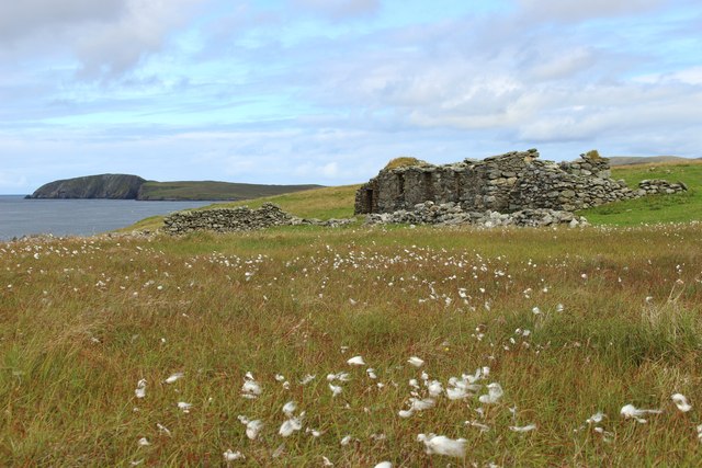
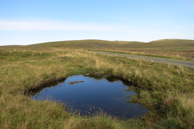
Ness of Cullivoe is characterized by its rugged and dramatic cliffs, rising steeply from the sea. The headland offers breathtaking panoramic views of the surrounding coastline and the vast expanse of the ocean. The distinctive rock formations and layers of sedimentary rock provide insights into the geological history of the area.
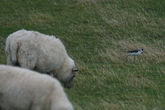
The headland is also known for its rich biodiversity. The surrounding waters are home to a diverse range of marine life, including seals, dolphins, and various species of seabirds. The cliffs serve as nesting sites for seabirds such as guillemots, puffins, and kittiwakes, making it a popular spot for birdwatching enthusiasts.
In addition to its natural beauty, Ness of Cullivoe holds historical significance. It is believed to have been inhabited since prehistoric times, with archaeological remains suggesting human occupation dating back thousands of years. The headland also played a role in the defense of the Shetland Islands during World War II, with remnants of military structures still visible today.
Ness of Cullivoe is a must-visit destination for nature lovers, history enthusiasts, and those seeking stunning coastal scenery. Its combination of geological wonders, diverse wildlife, and cultural heritage make it a truly unique coastal feature in the Shetland Islands.
If you have any feedback on the listing, please let us know in the comments section below.
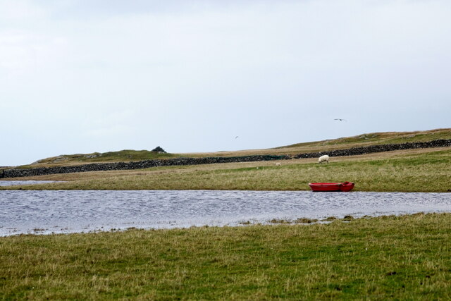
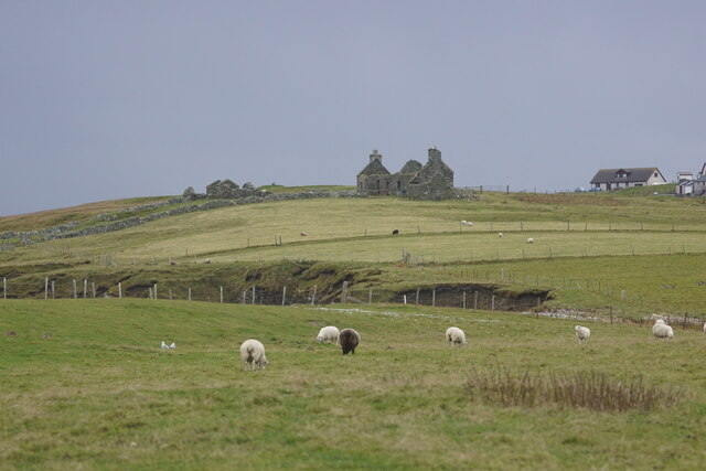
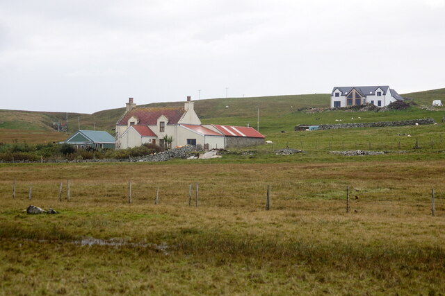
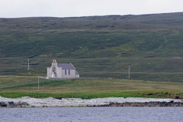
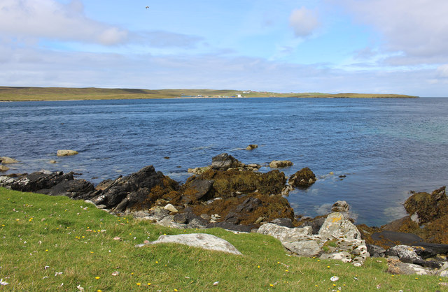
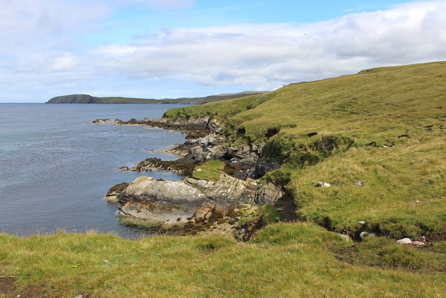
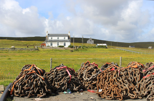
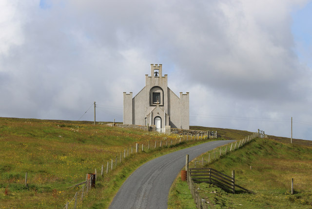
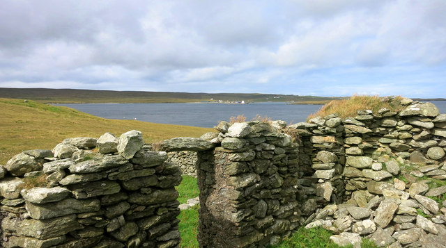
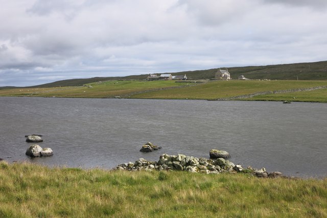
Ness of Cullivoe Images
Images are sourced within 2km of 60.701125/-0.99439294 or Grid Reference HP5502. Thanks to Geograph Open Source API. All images are credited.


Ness of Cullivoe is located at Grid Ref: HP5502 (Lat: 60.701125, Lng: -0.99439294)
Unitary Authority: Shetland Islands
Police Authority: Highlands and Islands
What 3 Words
///blockage.extra.funnels. Near Gutcher, Shetland Islands
Nearby Locations
Related Wikis

Cullivoe
Cullivoe (Old Norse: Kollavágr - Bay of Kolli), is a village on Yell in the Shetland Islands. It is in the north east of the island, near Bluemull Sound...

Bluemull Sound
Bluemull Sound is the strait between Unst and Yell in Shetland's North Isles. A ferry service crosses it regularly. Cullivoe is on the Yell side, and the...

Belmont House, Shetland
Belmont House is a neo classical Georgian Country House Estate on the island of Unst, the most northerly of the Shetland Islands, [United Kingdom] and...

St Olaf's Church, Unst
St Olaf's Church, Unst is a ruined medieval church located on the island of Unst, in Shetland, Scotland, UK. The church was built in the Celtic style,...
Belmont, Shetland
Belmont is a settlement and ferry terminal in southern Unst in the Shetland Islands. The ferry crosses from here to Gutcher in Yell and to Hamars Ness...

Gutcher
Gutcher is a settlement on the northeast coast of Yell in the Shetland islands. From here, rollon/roll off ferry services to Belmont on Unst and Hamars...

North Isles
The North Isles are the northern islands of the Shetland Islands, Scotland. The main islands in the group are Yell, Unst and Fetlar. Sometimes the islands...

Brough Holm
Brough Holm is a small island off Unst, in the North Isles of Shetland. It is off Westing, which as the name implies is on the west coast of Unst. The...
Nearby Amenities
Located within 500m of 60.701125,-0.99439294Have you been to Ness of Cullivoe?
Leave your review of Ness of Cullivoe below (or comments, questions and feedback).