Omans Geo
Coastal Feature, Headland, Point in Shetland
Scotland
Omans Geo
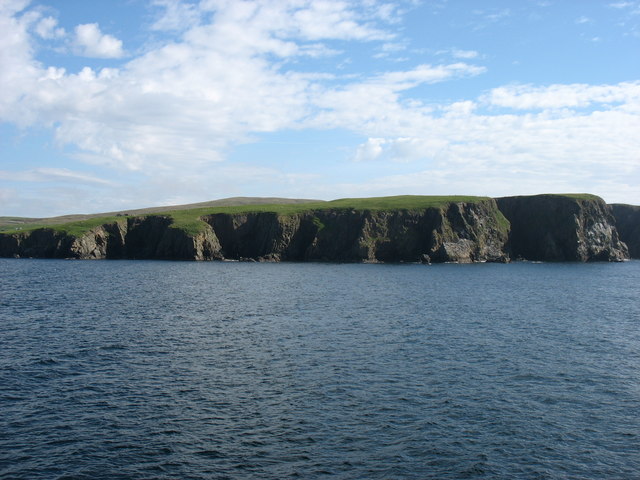
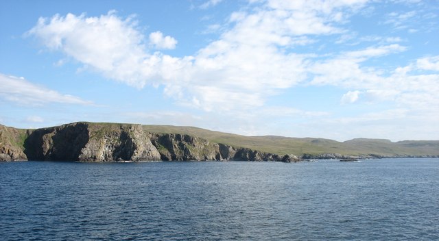
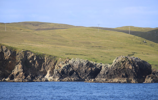
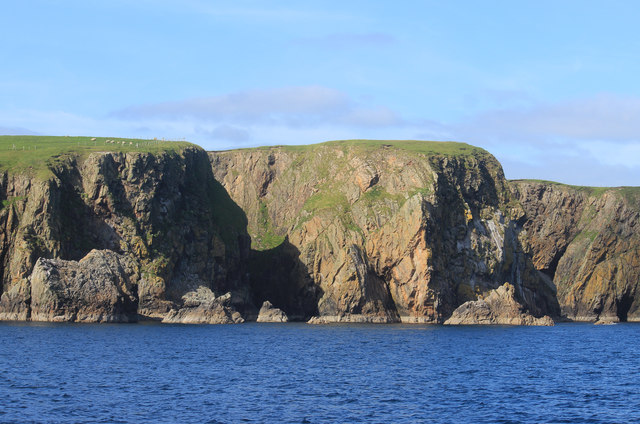
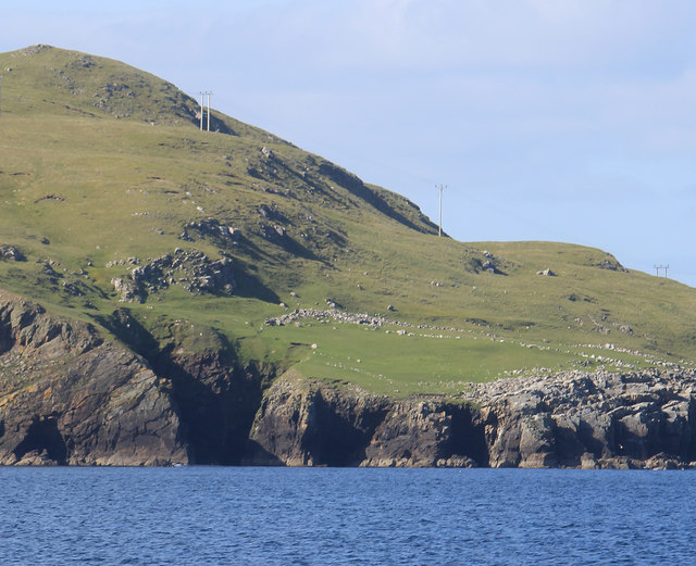
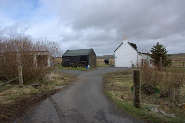
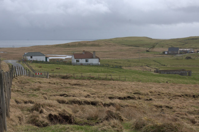
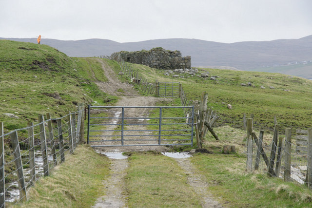
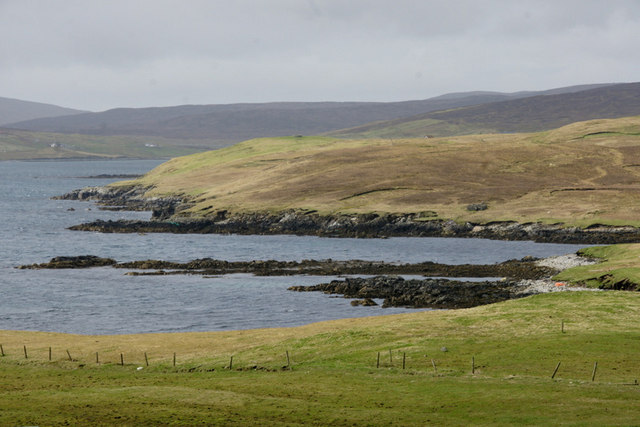
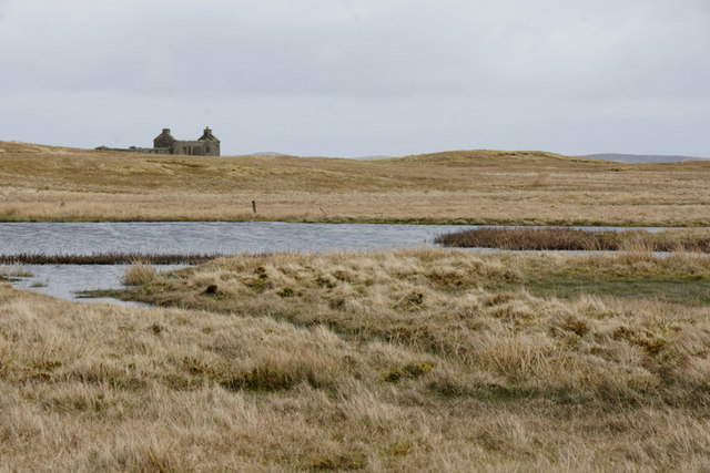
Oman's Geo is a prominent coastal feature located in Shetland, a group of islands in Scotland, United Kingdom. It is classified as a headland, specifically a point jutting out into the sea. The geo is situated on the west coast of the main island, known as Mainland, in the parish of Walls.
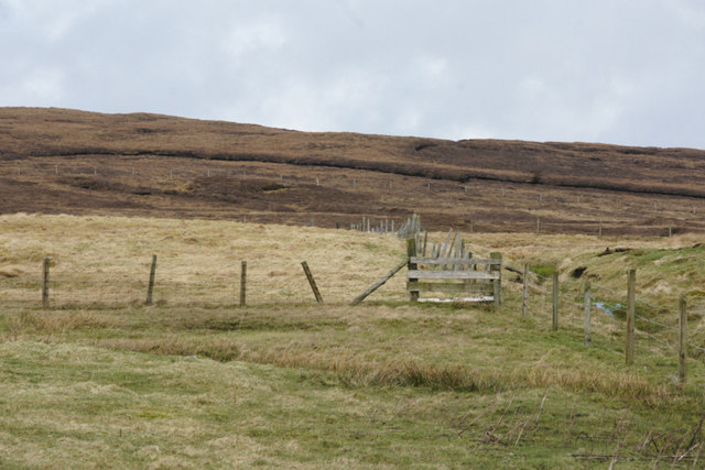
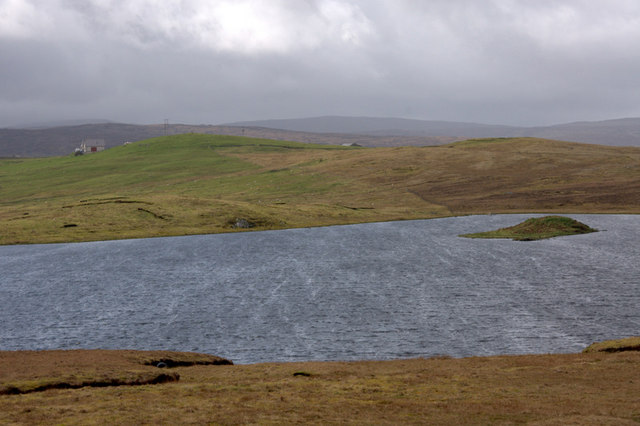
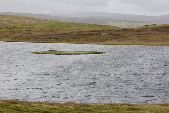
Oman's Geo is characterized by its rugged and rocky terrain, which is typical of the Shetland landscape. The headland is composed of ancient rock formations, predominantly sandstone and shale, which have been shaped by erosion over millions of years. The constant pounding of the North Atlantic waves against the cliff face has created distinct features such as sea caves and stacks.
The geo provides stunning panoramic views of the surrounding coastline and the vast ocean beyond. Visitors can witness the power of nature as waves crash against the cliffs, creating dramatic splashes and mist. The headland is also home to a diverse range of bird species, including nesting fulmars and kittiwakes.
Oman's Geo is a popular destination for hikers and nature enthusiasts, who can explore the area's unique geology and observe the rich marine life in the surrounding waters. It is important to note that caution should be exercised when visiting Oman's Geo, as the cliff edges can be unstable and slippery, especially during wet and windy conditions.
Overall, Oman's Geo is a magnificent coastal feature that showcases the raw beauty of Shetland's landscape. Its geological significance and natural charm make it a must-visit destination for those exploring the region.
If you have any feedback on the listing, please let us know in the comments section below.
Omans Geo Images
Images are sourced within 2km of 60.349445/-1.1321694 or Grid Reference HU4763. Thanks to Geograph Open Source API. All images are credited.
Omans Geo is located at Grid Ref: HU4763 (Lat: 60.349445, Lng: -1.1321694)
Unitary Authority: Shetland Islands
Police Authority: Highlands and Islands
What 3 Words
///quail.node.loved. Near Vidlin, Shetland Islands
Nearby Locations
Related Wikis

Vidlin
Vidlin (from Old Norse: Vaðill meaning a ford) is a small village located on Mainland, Shetland, Scotland. The settlement is within the parish of Nesting...

Billister
Billister is a settlement in the parish of Nesting, on the island of Mainland, in Shetland, Scotland. It is on Lax Firth. Billister was formerly the terminal...

Laxo
Laxo is a small settlement at the end of Laxo Voe in Vidlin, Shetland, Scotland. A ferry from the Mainland to Symbister in Whalsay operates from the nearby...

Little Linga
Little Linga is a small island in the Shetland Islands. It is near West Linga and Vidlin on Mainland, Shetland. It is 20 metres (66 ft) at its highest...

Neap
Neap is a small village in the east coast of the Mainland of the Shetland Islands, Scotland. Neap is situated at the end of the road from Brettabister...

Nesting, Shetland
Nesting is a parish in the Shetland Islands, Scotland. It includes a part of the east Shetland Mainland, measuring about twelve by four miles (19 by 6...

Brettabister
Brettabister is a settlement on the island of Mainland in Shetland, Scotland. It is in the parish of Nesting. St. Ola's parish church lies to the east...

West Linga
West Linga is an uninhabited island located between Mainland and Whalsay in Shetland, Scotland. == Geography and geology == West Linga is a long narrow...
Have you been to Omans Geo?
Leave your review of Omans Geo below (or comments, questions and feedback).