Sigga Taing
Coastal Feature, Headland, Point in Shetland
Scotland
Sigga Taing
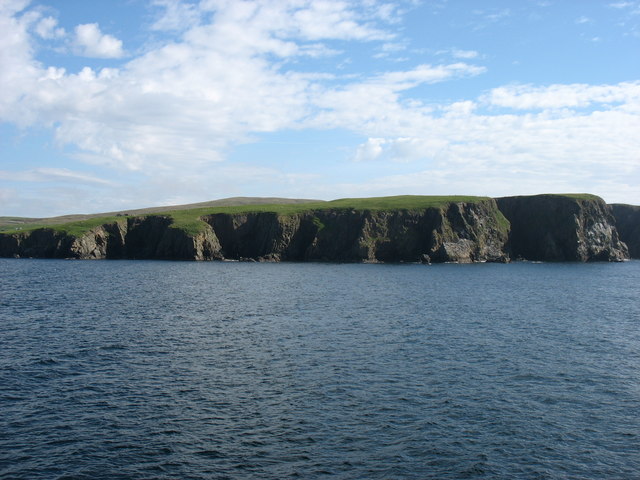
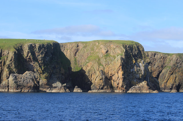
Sigga Taing is a prominent coastal feature located on the Shetland Islands, situated off the northeastern coast of Scotland. It is a headland or point that stretches out into the North Sea, offering breathtaking views of the surrounding rugged coastline.
This coastal feature is characterized by its steep cliffs, which rise dramatically from the crashing waves below. The cliffs are composed of layered sedimentary rocks, showcasing the geologic history of the area. The rock formations provide a habitat for various bird species, including puffins, fulmars, and kittiwakes, making it a popular spot for birdwatching enthusiasts.
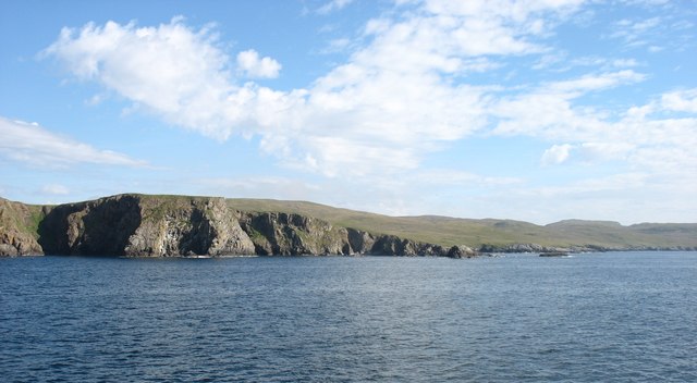
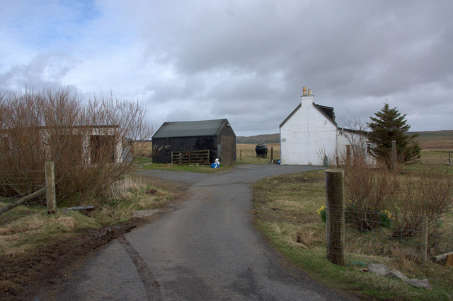
The headland is also known for its rocky shoreline and small sandy beaches hidden away in sheltered coves. During low tide, visitors can explore the rock pools teeming with marine life, such as crabs, starfish, and small fish. The surrounding waters are home to seals and occasionally harbor porpoises, adding to the area's natural beauty and diversity.
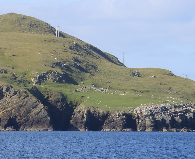
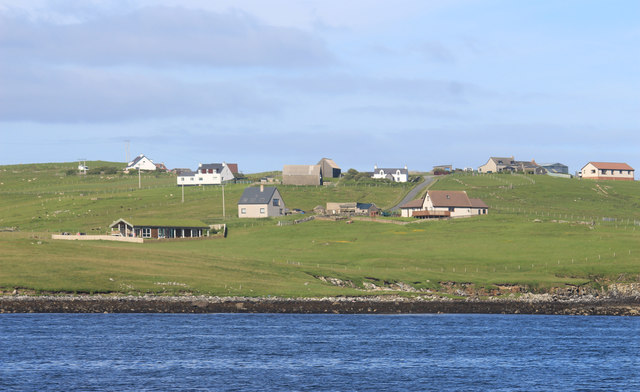
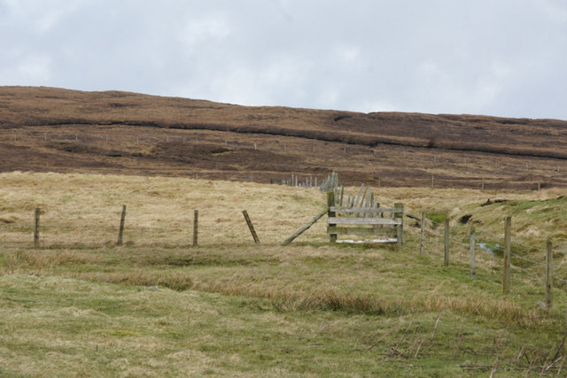
Sigga Taing is easily accessible by foot, with several walking paths leading to the headland from the nearby village. The walk provides an opportunity to appreciate the stunning coastal scenery, with rolling green hills and the vast expanse of the sea stretching out in every direction.
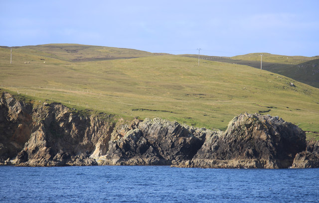
Overall, Sigga Taing is a captivating coastal feature that showcases the raw beauty of the Shetland Islands. Its cliffs, beaches, and diverse marine life make it a must-visit destination for nature lovers and those seeking a tranquil escape amidst the rugged Scottish landscape.
If you have any feedback on the listing, please let us know in the comments section below.
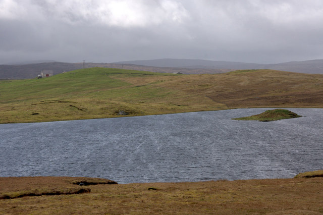
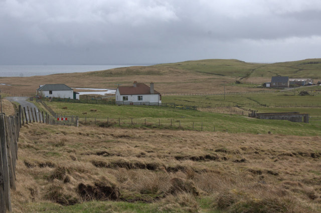
Sigga Taing Images
Images are sourced within 2km of 60.349229/-1.1446055 or Grid Reference HU4763. Thanks to Geograph Open Source API. All images are credited.


Sigga Taing is located at Grid Ref: HU4763 (Lat: 60.349229, Lng: -1.1446055)
Unitary Authority: Shetland Islands
Police Authority: Highlands and Islands
What 3 Words
///wishing.latest.convey. Near Vidlin, Shetland Islands
Nearby Locations
Related Wikis

Vidlin
Vidlin (from Old Norse: Vaðill meaning a ford) is a small village located on Mainland, Shetland, Scotland. The settlement is within the parish of Nesting...

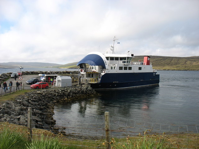
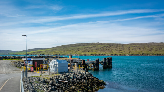
Laxo
Laxo is a small settlement at the end of Laxo Voe in Vidlin, Shetland, Scotland. A ferry from the Mainland to Symbister in Whalsay operates from the nearby...

Billister
Billister is a settlement in the parish of Nesting, on the island of Mainland, in Shetland, Scotland. It is on Lax Firth. Billister was formerly the terminal...

Nesting, Shetland
Nesting is a parish in the Shetland Islands, Scotland. It includes a part of the east Shetland Mainland, measuring about twelve by four miles (19 by 6...

Little Linga
Little Linga is a small island in the Shetland Islands. It is near West Linga and Vidlin on Mainland, Shetland. It is 20 metres (66 ft) at its highest...

Neap
Neap is a small village in the east coast of the Mainland of the Shetland Islands, Scotland. Neap is situated at the end of the road from Brettabister...

Brettabister
Brettabister is a settlement on the island of Mainland in Shetland, Scotland. It is in the parish of Nesting. St. Ola's parish church lies to the east...
Geopark Shetland
Geopark Shetland is the name used by the Geopark formally established in September 2009 on its entry into the European Geoparks Network. The Geopark extends...
Nearby Amenities
Located within 500m of 60.349229,-1.1446055Have you been to Sigga Taing?
Leave your review of Sigga Taing below (or comments, questions and feedback).