Gussi Geo
Coastal Feature, Headland, Point in Shetland
Scotland
Gussi Geo
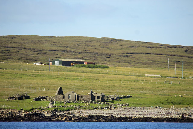
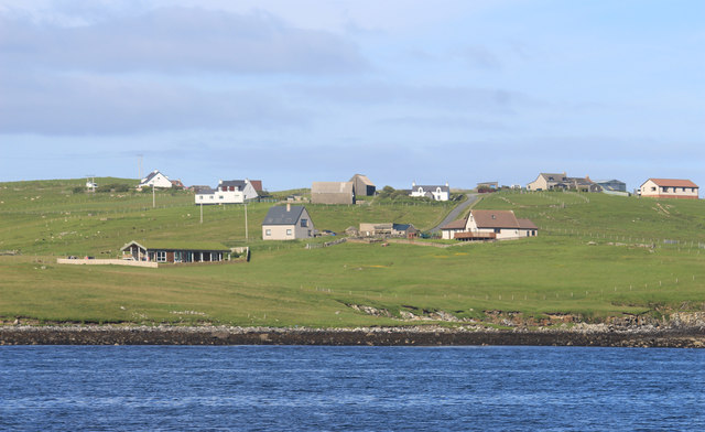
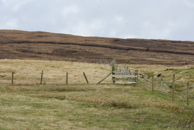
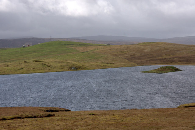
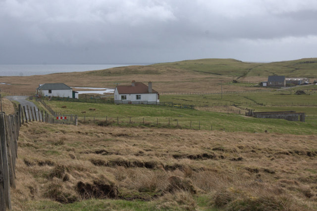
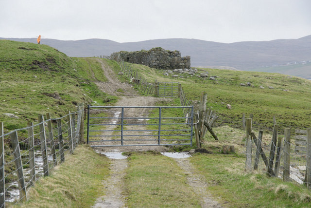
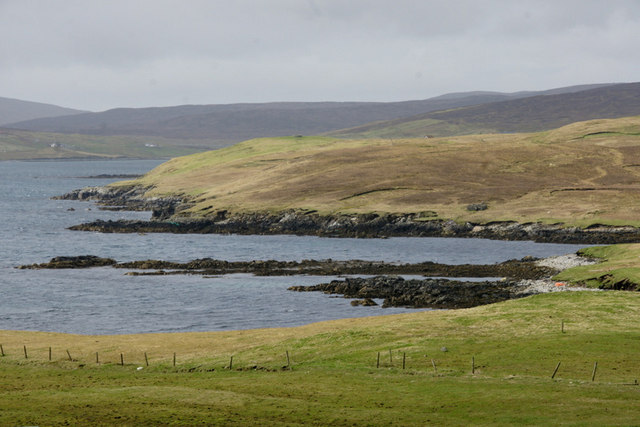
Gussi Geo is a coastal feature located on the island of Shetland, which is part of Scotland. It is specifically situated on the west coast of the mainland, in the vicinity of the village of Walls. Gussi Geo is classified as a headland or point, projecting out into the North Atlantic Ocean.
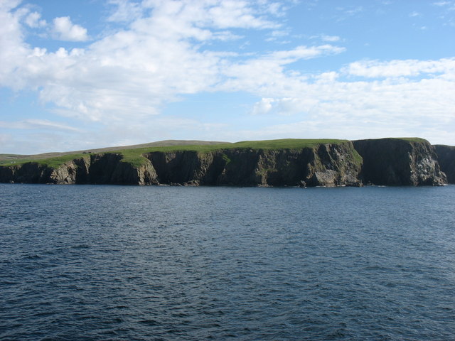
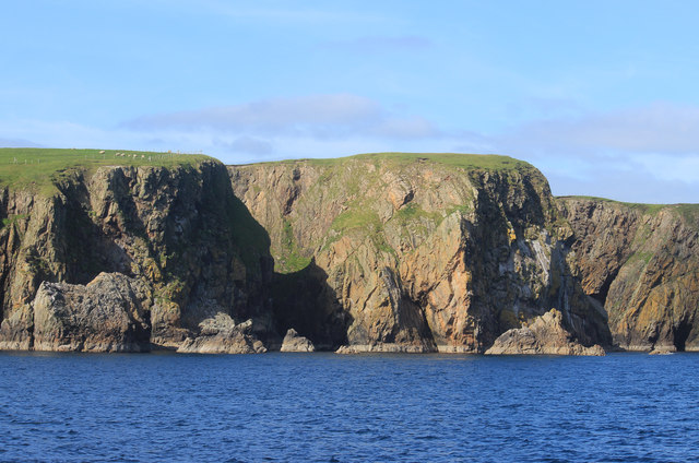
This coastal feature is characterized by its rugged and rocky terrain, with steep cliffs rising from the sea. The cliff face is composed of layered sedimentary rocks, displaying various colors and textures, which have been shaped by the forces of erosion over time. The cliffs at Gussi Geo can reach heights of several meters above sea level, providing a dramatic and picturesque view of the surrounding coastline.
Gussi Geo is also known for its diverse wildlife and bird populations. The area is home to many species of seabirds, including puffins, guillemots, and razorbills, which nest on the cliffs during the breeding season. Additionally, it is not uncommon to spot seals and otters in the waters surrounding Gussi Geo.
The location of Gussi Geo makes it an ideal spot for outdoor activities such as hiking and birdwatching. Visitors can enjoy walks along the cliff tops, taking in the breathtaking views of the ocean and the surrounding landscape. The area is also a popular destination for photographers and nature enthusiasts, who are drawn to its natural beauty and unique geological features.
In summary, Gussi Geo is a stunning headland on the west coast of Shetland, characterized by its rocky cliffs, diverse wildlife, and picturesque views.
If you have any feedback on the listing, please let us know in the comments section below.
Gussi Geo Images
Images are sourced within 2km of 60.35023/-1.1480404 or Grid Reference HU4763. Thanks to Geograph Open Source API. All images are credited.


Gussi Geo is located at Grid Ref: HU4763 (Lat: 60.35023, Lng: -1.1480404)
Unitary Authority: Shetland Islands
Police Authority: Highlands and Islands
What 3 Words
///save.spellings.remix. Near Vidlin, Shetland Islands
Nearby Locations
Related Wikis

Vidlin
Vidlin (from Old Norse: Vaðill meaning a ford) is a small village located on Mainland, Shetland, Scotland. The settlement is within the parish of Nesting...

Laxo
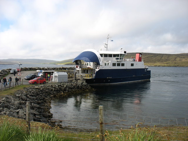
Laxo is a small settlement at the end of Laxo Voe in Vidlin, Shetland, Scotland. A ferry from the Mainland to Symbister in Whalsay operates from the nearby...

Billister
Billister is a settlement in the parish of Nesting, on the island of Mainland, in Shetland, Scotland. It is on Lax Firth. Billister was formerly the terminal...

Nesting, Shetland
Nesting is a parish in the Shetland Islands, Scotland. It includes a part of the east Shetland Mainland, measuring about twelve by four miles (19 by 6...

Little Linga
Little Linga is a small island in the Shetland Islands. It is near West Linga and Vidlin on Mainland, Shetland. It is 20 metres (66 ft) at its highest...

Brettabister
Brettabister is a settlement on the island of Mainland in Shetland, Scotland. It is in the parish of Nesting. St. Ola's parish church lies to the east...

Neap
Neap is a small village in the east coast of the Mainland of the Shetland Islands, Scotland. Neap is situated at the end of the road from Brettabister...

Lunna House
Lunna House is a 17th-century laird's house on Lunna Ness in the Shetland Islands. Lunna House is noted for having "the best historic designed landscape...
Nearby Amenities
Located within 500m of 60.35023,-1.1480404Have you been to Gussi Geo?
Leave your review of Gussi Geo below (or comments, questions and feedback).