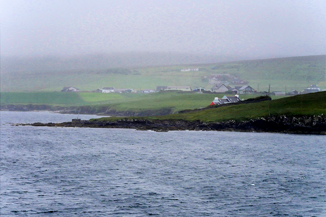
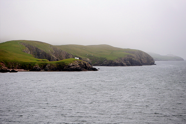
Muckle Geo

Coastal Feature, Headland, Point in Shetland

Scotland

Muckle Geo

South Bressay and the Ward of Bressay from the sea
South Bressay and the Ward of Bressay from the sea Credit: Mike Pennington

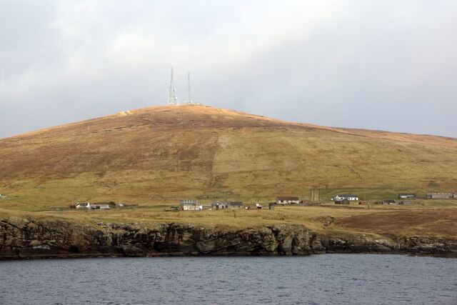
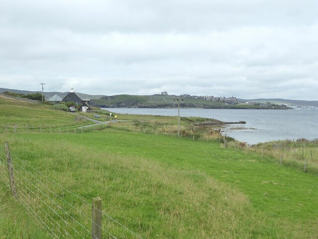
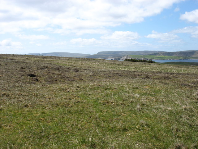
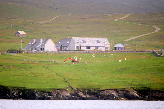
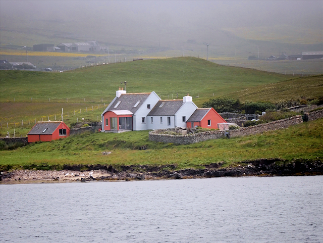
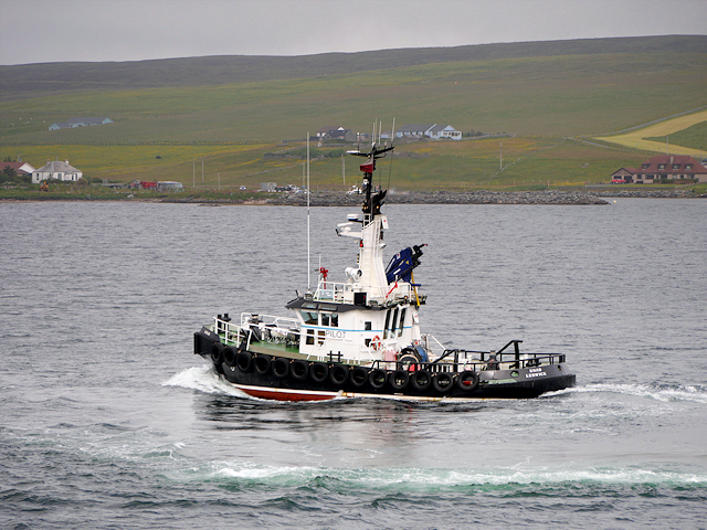
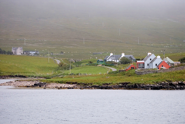
Muckle Geo is a prominent coastal feature located in the Shetland Islands, an archipelago in Scotland. It is a headland that juts out into the North Sea, forming a distinctive point along the island's rugged coastline.

The name "Muckle Geo" is derived from the Old Norse language, where "muckle" means large or big, and "geo" refers to a long narrow inlet. This name aptly describes the nature of Muckle Geo, as it is a significant and imposing geological formation.

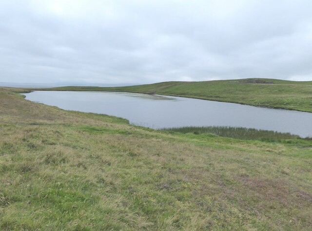
The headland is characterized by its sheer cliffs, which rise dramatically from the sea below. These cliffs are composed of layers of sedimentary rock, showcasing the geological history of the area. The exposed rock formations provide a glimpse into the ancient processes that shaped the region over millions of years.

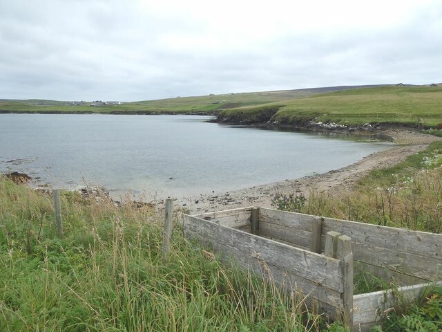
Muckle Geo is also known for its rich biodiversity. The surrounding waters are teeming with marine life, including various species of fish, seals, and seabirds. The headland itself is covered in lush vegetation, with hardy plants clinging to the rocky terrain.

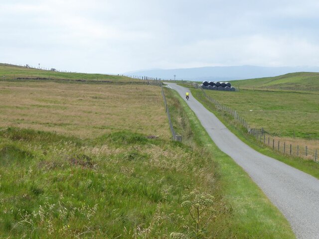
The location of Muckle Geo offers breathtaking views of the surrounding sea and the neighboring islands. It is a popular spot for nature enthusiasts, hikers, and photographers, who are drawn to its dramatic beauty and unique geological features.

In summary, Muckle Geo is a prominent headland along the Shetland Islands' coastline, characterized by towering cliffs, diverse wildlife, and stunning views. It stands as a testament to the power of nature and the geological history of the region.

If you have any feedback on the listing, please let us know in the comments section below.

Muckle Geo Images

Images are sourced within 2km of 60.145352/-1.1382169 or Grid Reference HU4740. Thanks to Geograph Open Source API. All images are credited.

South Bressay and the Ward of Bressay from the sea
Loch of Kirkabister
Loch of Kirkabister
The Bight of Ham Small bay on the west coast of the Isle of Bressay.
The Bight of Ham
Small bay on the west coast of the Isle of Bressay.
House at the Taing of Ham
Ham Peninsula on the west coast of the Isle of Bressay. Across the water are houses on the Ness of Sound <a href="https://www.geograph.org.uk/gridref/HU4639">HU4639</a> on Shetland Mainland.
Ham
Peninsula on the west coast of the Isle of Bressay. Across the water are houses on the Ness of Sound HU4639 on Shetland Mainland.
The road to Bressay Lighthouse
The turning for Ham On the road to Bressay Lighthouse.
The turning for Ham
On the road to Bressay Lighthouse.
MV Costa Fortuna at anchor in Bressay Sound The size of the MV Costa Fortuna (464 cabins, nine swimming pools and five restaurants) meant that it was obliged to anchor out in the Sound rather than at the quayside in Lerwick. A flotilla of barges were kept busy ferrying passengers to and from the Victoria Pier. The Costa Fortuna is a sister ship to the ill-starred Costa Concordia which sank off the Italian coast in 2012.
MV Costa Fortuna at anchor in Bressay Sound
The size of the MV Costa Fortuna (464 cabins, nine swimming pools and five restaurants) meant that it was obliged to anchor out in the Sound rather than at the quayside in Lerwick. A flotilla of barges were kept busy ferrying passengers to and from the Victoria Pier. The Costa Fortuna is a sister ship to the ill-starred Costa Concordia which sank off the Italian coast in 2012.
Pullar's Loch, Sound, from the air
Ness of Sound, Lerwick, from the air
Hillside above Grindiscol, Bressay The lower slopes of the Ward of Bressay.
Hillside above Grindiscol, Bressay
The lower slopes of the Ward of Bressay.
Small boat off Ness of Sound Taken from the Knab in Lerwick.
Small boat off Ness of Sound
Taken from the Knab in Lerwick.
Coastal Farm, Bressay
Bressay, House at Ham
MV Knab, Lerwick Pilot Boat The Lerwick pilot boat, MV Knab, in Bressay Sound.
MV Knab, Lerwick Pilot Boat
The Lerwick pilot boat, MV Knab, in Bressay Sound.
Ham Coastal settlement on Bressay.
Ham
Coastal settlement on Bressay.
Cro of Ham
Cro of Ham
Bressay Coastline between Ham and Kirkabister
Show me another place!

Muckle Geo is located at Grid Ref: HU4740 (Lat: 60.145352, Lng: -1.1382169)

Unitary Authority: Shetland Islands

Police Authority: Highlands and Islands

What 3 Words

///narrates.bachelor.sweeping. Near Lerwick, Shetland Islands

Related Wikis

Lerwick and Bressay Parish Church

Lerwick and Bressay Parish Church is the largest Church of Scotland congregation in Shetland, serving the islands' capital Lerwick and the surrounding...

Shetland Library

Shetland Library is the public library service of Shetland, with its main branch based in Lerwick. Membership is open to both residents of and visitors...

Lerwick Town Hall

Lerwick Town Hall is a municipal building located on Hillhead in Lerwick, Shetland, Scotland. It is used as an events venue and registrar's office. The...
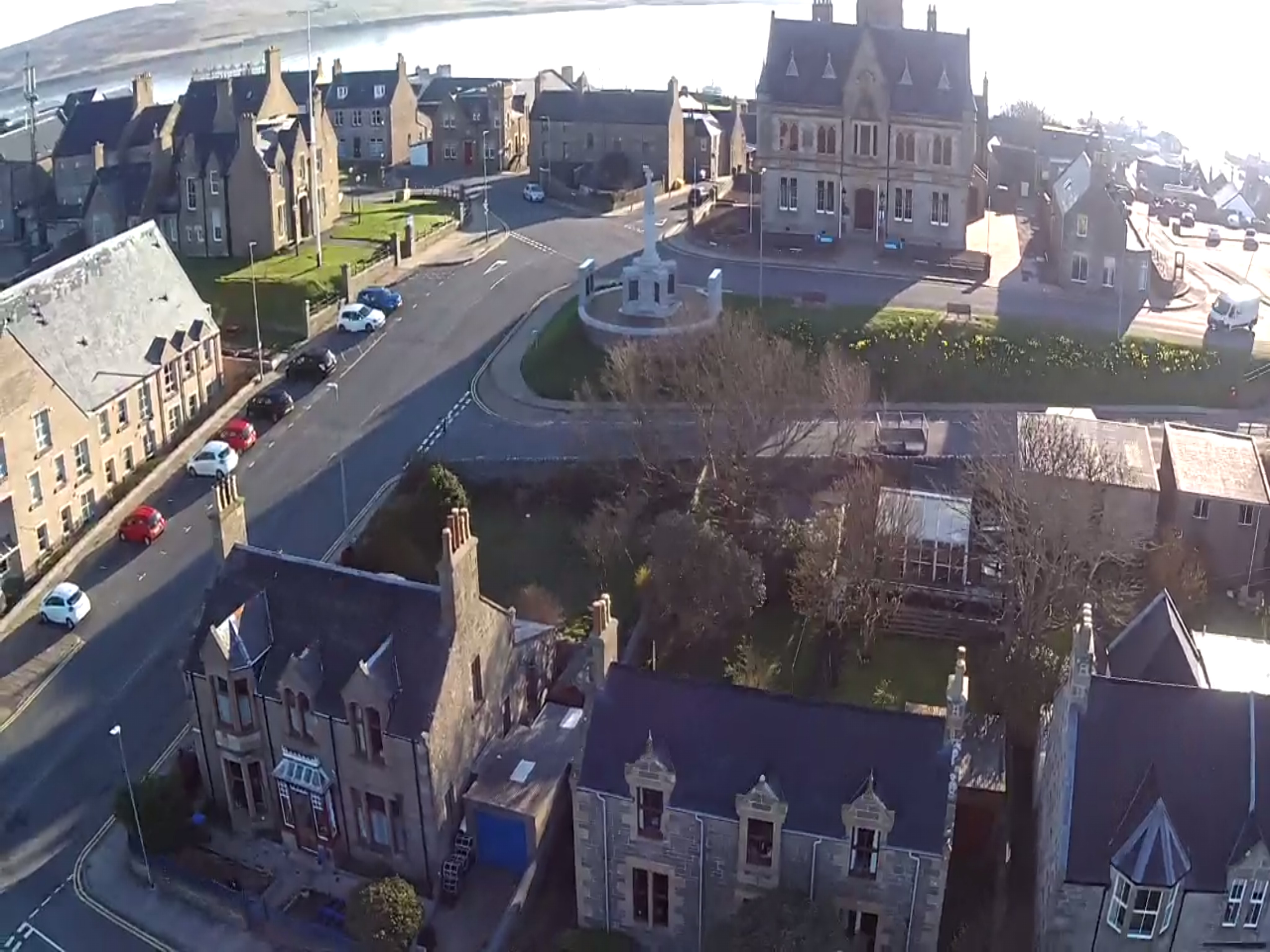
Lerwick

Lerwick ( or ; Old Norse: Leirvik; Norn: Larvik) is the main town and port of the Shetland archipelago, Scotland. Shetland's only burgh, Lerwick had a...

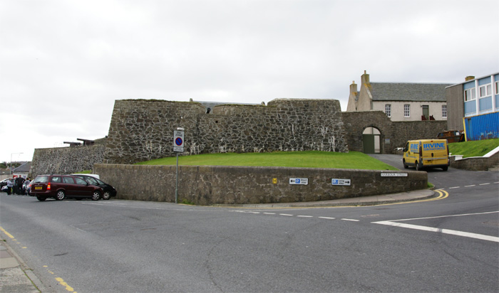
Fort Charlotte, Shetland

Fort Charlotte in the centre of Lerwick, Shetland, is an artillery fort, roughly five sided, with bastions on each of three landward corners, and half...

County Buildings, Lerwick

County Buildings is a municipal structure in King Erik Street, Lerwick, Shetland, Scotland. The structure, which is used as a judicial complex, is a Category...

Gilbert Bain Hospital

The Gilbert Bain Hospital is a rural general hospital in the burgh of Lerwick, Shetland, Scotland. It is managed by NHS Shetland. == History == The hospital...

Montfield Hospital

The Montfield Hospital is a health facility in the burgh of Lerwick, Shetland, Scotland. It is managed by NHS Shetland. == History == The facility, which...

Nearby Amenities

Located within 500m of 60.145352,-1.1382169
Waste Basket
Lat/Long: 60.1459588/-1.1383223
Waste Basket
Waste: dog_excrement
Lat/Long: 60.1458479/-1.1383114
Bench
Backrest: yes
Lat/Long: 60.1459558/-1.1382296
Bench
Backrest: yes
Lat/Long: 60.1467802/-1.1362355
Bench
Lat/Long: 60.1473962/-1.134236
Seamark Light Character: LFl
Seamark Light Colour: white
Seamark Light Height: 8
Seamark Light Period: 6
Seamark Light Range: 6
Seamark Light Reference: A 3778
Seamark Light Sequence: 2+(4)
Seamark Type: light_minor
Source: US NGA Pub. 114. 2011-05-26.
Lat/Long: 60.1486/-1.1324
Toilets
Description: Public toilet Lerwick
Drinking Water: yes
Fee: no
Lat/Long: 60.1476/-1.1388308
Man Made: tower
Lat/Long: 60.1485739/-1.1406334
Bench
Backrest: yes
Lat/Long: 60.1458299/-1.1381508
Bench
Backrest: yes
Seats: 3
Lat/Long: 60.1476543/-1.1336427
Bench
Backrest: yes
Seats: 3
Lat/Long: 60.1475288/-1.1338667
Bench
Backrest: yes
Seats: 3
Lat/Long: 60.1473786/-1.1341376
Bench
Backrest: yes
Seats: 3
Lat/Long: 60.1473626/-1.1342476
Bench
Backrest: yes
Seats: 3
Lat/Long: 60.1463772/-1.1368044
Bench
Backrest: yes
Seats: 3
Lat/Long: 60.1466576/-1.1362585
Barrier: cycle_barrier
Lat/Long: 60.1494333/-1.1417843
The Knab
Place: locality
Lat/Long: 60.14796/-1.1408107
Bench
Backrest: yes
Lat/Long: 60.1487431/-1.1432321
Parking
Lat/Long: 60.1486241/-1.1347161
Generator Method: photovoltaic
Generator Output Electricity: yes
Generator Source: solar
Generator Type: solar_photovoltaic_panel
Location: roof
Power: generator
Lat/Long: 60.1489706/-1.1390416
The data included in this document is from www.openstreetmap.org. The data is made available under ODbL.

Have you been to Muckle Geo?

Leave your review of Muckle Geo below (or comments, questions and feedback).