Masti Geo
Coastal Feature, Headland, Point in Shetland
Scotland
Masti Geo
Masti Geo is a notable coastal feature located in the Shetland Islands of Scotland. It is primarily classified as a headland or point, depending on the specific definition used. It is situated on the eastern coast of the main island of Shetland, known as Mainland, and is characterized by its rugged and dramatic landscape.
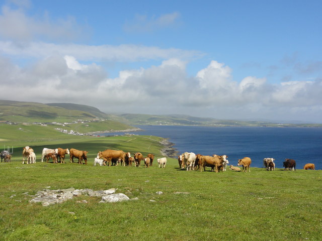
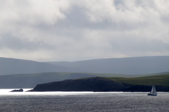
Masti Geo offers stunning views of the North Sea, as it juts out into the water, providing an excellent vantage point for observing the surrounding coastal scenery. The headland is composed of towering cliffs, which reach impressive heights and are often battered by the strong winds and waves typical of the region. These cliffs are primarily made up of sedimentary rock formations, showcasing the geological history of the area.
The area surrounding Masti Geo is rich in biodiversity. The cliffs provide nesting sites for various seabird species, such as puffins, guillemots, and razorbills. Visitors to the area may also spot seals and otters in the nearby waters.
Access to Masti Geo is possible via a coastal footpath, which allows visitors to explore the headland and its surroundings on foot. It is important to exercise caution when visiting, as the cliffs can be dangerous and unstable in certain areas.
Overall, Masti Geo is a captivating coastal feature in the Shetland Islands, offering visitors a chance to experience the raw beauty and natural diversity of this remote and picturesque part of Scotland.
If you have any feedback on the listing, please let us know in the comments section below.
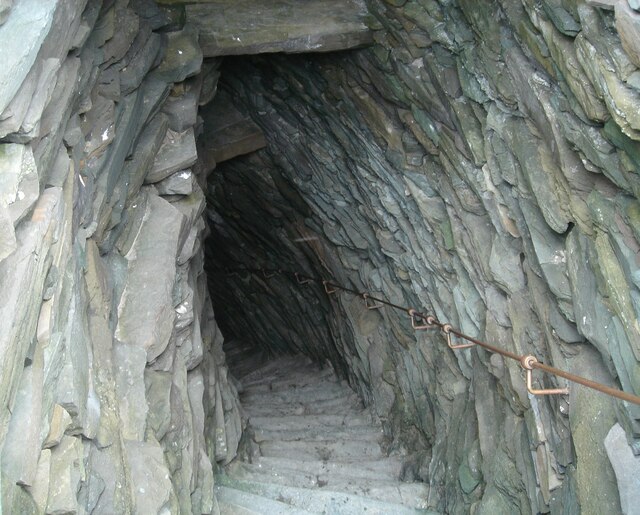
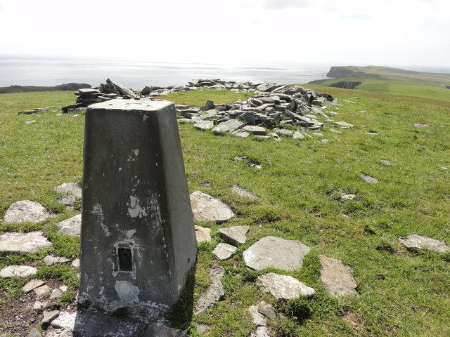
Masti Geo Images
Images are sourced within 2km of 59.991198/-1.1769636 or Grid Reference HU4623. Thanks to Geograph Open Source API. All images are credited.


Masti Geo is located at Grid Ref: HU4623 (Lat: 59.991198, Lng: -1.1769636)
Unitary Authority: Shetland Islands
Police Authority: Highlands and Islands
What 3 Words
///defining.risk.headlines. Near Sandwick, Shetland Islands
Nearby Locations
Related Wikis

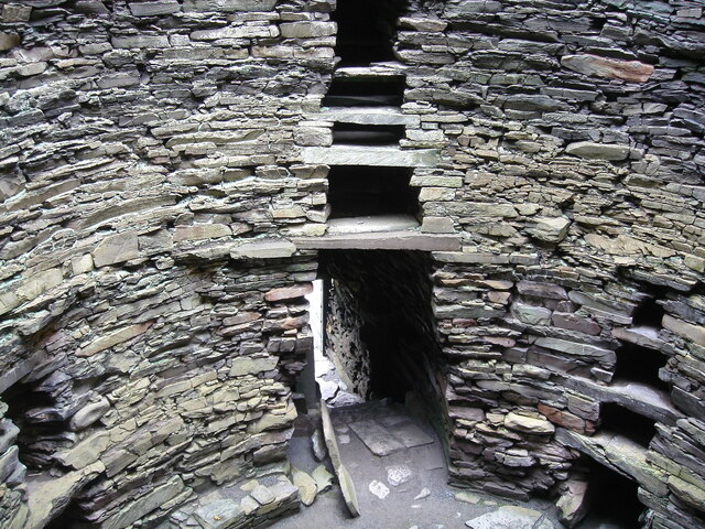
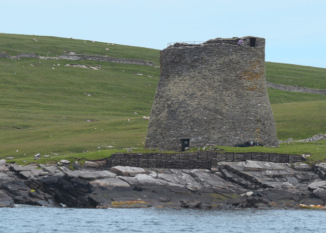
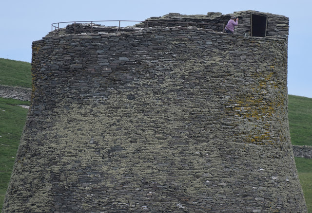
Broch of Mousa
Broch of Mousa (or Mousa Broch) is a preserved Iron Age broch or round tower. It is on the island of Mousa in Shetland, Scotland. It is the tallest broch...

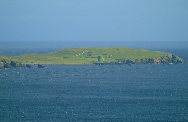
Mousa
Mousa (Old Norse: Mosey "moss island") is a small island in Shetland, Scotland, uninhabited since the nineteenth century. The island is known for the...

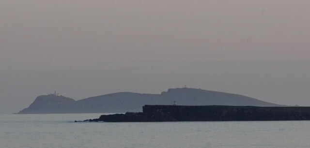
Peerie Bard
Perie Bard is one of the Shetland Islands. It is a small islet off the east coast of the island of Mousa.Although named 'Perie Bard' on OS Maps, the name...

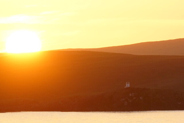
Sandwick, Dunrossness
see also Sandwick, Whalsay and Sandwick, OrkneySandwick (Old Norse: Sandvik "Sandy Bay") is a village and an ancient parish in the Shetland Islands, Scotland...
Nearby Amenities
Located within 500m of 59.991198,-1.1769636Have you been to Masti Geo?
Leave your review of Masti Geo below (or comments, questions and feedback).