The Cellar
Sea, Estuary, Creek in Shetland
Scotland
The Cellar
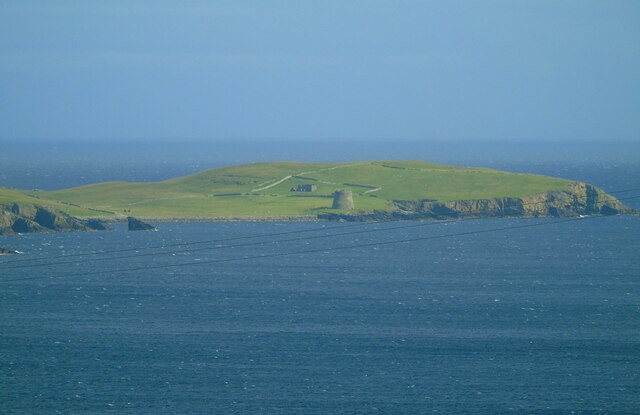
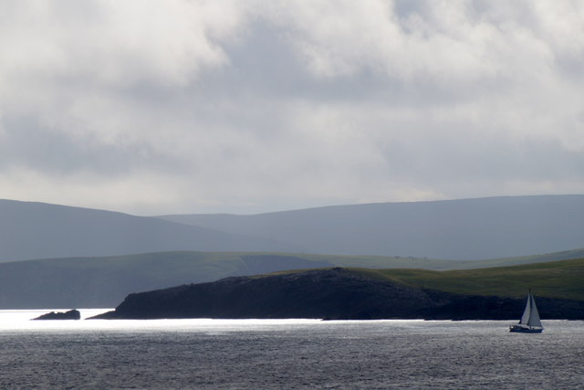
The Cellar is a picturesque natural formation located in the Shetland Islands, off the northeast coast of Scotland. Situated along the rugged coastline, it is a unique combination of a sea, estuary, and creek. This stunning natural feature is a popular attraction for both locals and tourists alike.
The Cellar is characterized by its crystal-clear waters, which reflect the vibrant colors of the surrounding cliffs and vegetation. It is formed by the convergence of the sea and a small creek, creating an estuarine environment that is teeming with marine life. The intertidal zone of The Cellar is rich in biodiversity, offering a habitat for various species of fish, crustaceans, and mollusks.
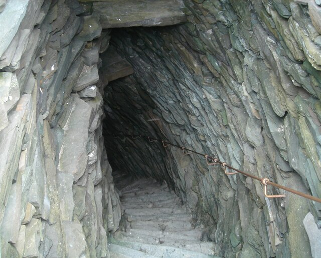
The rocky cliffs that enclose The Cellar provide a dramatic backdrop, adding to its allure. Visitors can explore the area by foot, following the winding coastal path that overlooks the sea. The natural rock formations and caves along the shoreline offer an opportunity for adventurous explorers to discover hidden treasures. During low tide, the creek becomes accessible, inviting visitors to wade through its shallow waters and discover the diverse range of marine flora and fauna.
The Cellar is not only a place of natural beauty but also a significant cultural and historical site. It has been an important location for the local fishing communities, with evidence of human habitation in the area dating back centuries. Today, it serves as a reminder of the close relationship between the people of Shetland and the sea, as well as a breathtaking destination for nature enthusiasts seeking an immersive coastal experience.
If you have any feedback on the listing, please let us know in the comments section below.
The Cellar Images
Images are sourced within 2km of 59.990604/-1.1695759 or Grid Reference HU4623. Thanks to Geograph Open Source API. All images are credited.


The Cellar is located at Grid Ref: HU4623 (Lat: 59.990604, Lng: -1.1695759)
Unitary Authority: Shetland Islands
Police Authority: Highlands and Islands
What 3 Words
///wizards.evidence.growl. Near Sandwick, Shetland Islands
Nearby Locations
Related Wikis

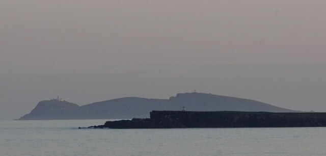
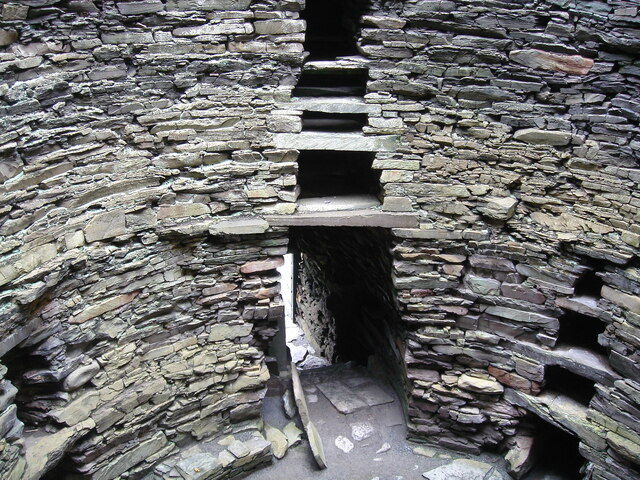
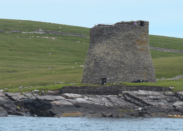
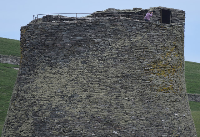
Broch of Mousa
Broch of Mousa (or Mousa Broch) is a preserved Iron Age broch or round tower. It is on the island of Mousa in Shetland, Scotland. It is the tallest broch...

Peerie Bard
Perie Bard is one of the Shetland Islands. It is a small islet off the east coast of the island of Mousa.Although named 'Perie Bard' on OS Maps, the name...

Mousa
Mousa (Old Norse: Mosey "moss island") is a small island in Shetland, Scotland, uninhabited since the nineteenth century. The island is known for the...

Sandwick, Dunrossness
see also Sandwick, Whalsay and Sandwick, OrkneySandwick (Old Norse: Sandvik "Sandy Bay") is a village and an ancient parish in the Shetland Islands, Scotland...

Hoswick
Hoswick is a settlement in Sandwick in the south mainland of Shetland, Scotland, on the eastern part of the Dunrossness civil parish. It is separated from...

Catpund
Catpund is a quarry site in Shetland, Scotland, where steatite vessels were cut from the rock from prehistory onwards. The quarrying marks are still visible...

Levenwick
Levenwick is a small village about 17 miles (27 km) south of Lerwick, on the east side of the South Mainland of Shetland, Scotland. It is part of the parish...

Mail, Shetland
Mail is a hamlet on the island of Mainland, in the Shetland Islands, Scotland. == Geography == Mail is located on the south-eastern side of the island...
Have you been to The Cellar?
Leave your review of The Cellar below (or comments, questions and feedback).