Seli Geo
Coastal Feature, Headland, Point in Shetland
Scotland
Seli Geo
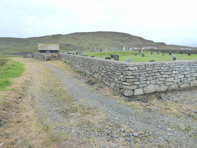
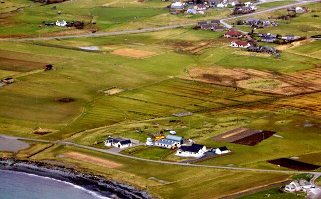
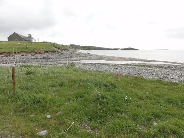
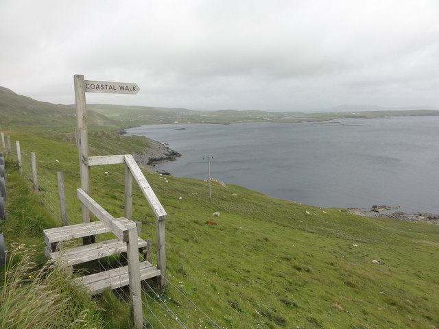
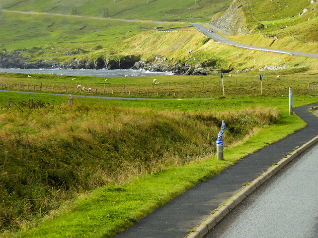
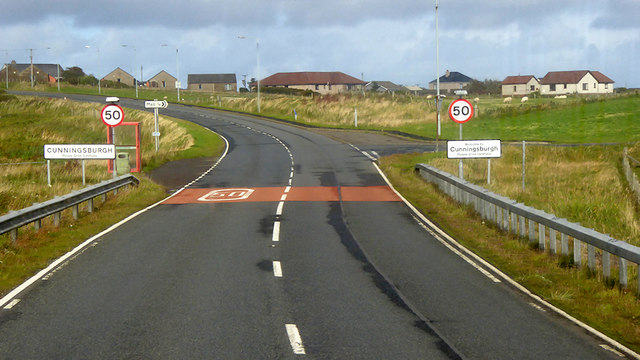
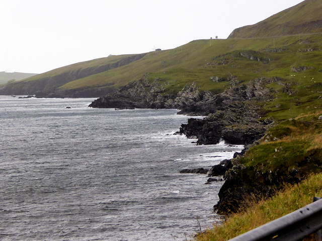
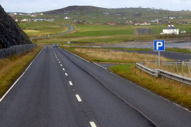
Seli Geo is a prominent coastal feature located in the Shetland Islands, an archipelago in Scotland. It is specifically classified as a headland, which is a narrow stretch of land that juts out into the sea. Seli Geo is positioned on the eastern coast of Shetland, near the village of Cunningsburgh.
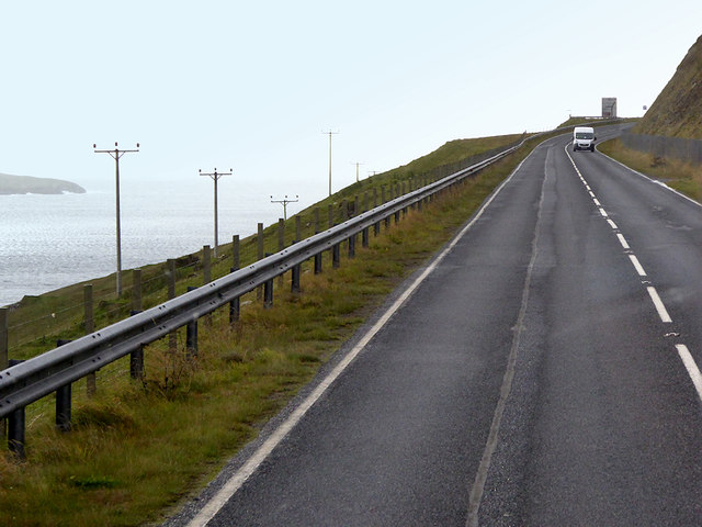
This headland is characterized by its rugged and steep cliffs, rising dramatically from the North Sea. The cliffs are composed of sedimentary rocks, predominantly sandstone and shale, which have been shaped by the erosive forces of wind and water over centuries, resulting in intricate formations and caves. These cliffs offer breathtaking panoramic views of the surrounding coastline.
Seli Geo is also known for its rich birdlife, serving as a habitat for various seabird species, including puffins, guillemots, and fulmars. These birds nest on the cliffs during the breeding season, creating a vibrant and lively atmosphere.
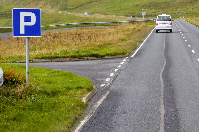
The headland is easily accessible, with a footpath leading visitors to a viewpoint overlooking the cliffs. This vantage point allows visitors to appreciate the sheer height and beauty of Seli Geo, as well as observe the diverse marine life in the waters below.
Due to its geographical significance and natural beauty, Seli Geo attracts both locals and tourists alike. It presents opportunities for hiking, birdwatching, and photography, making it a popular destination for nature enthusiasts seeking an immersive coastal experience.
If you have any feedback on the listing, please let us know in the comments section below.
Seli Geo Images
Images are sourced within 2km of 60.027735/-1.2336547 or Grid Reference HU4227. Thanks to Geograph Open Source API. All images are credited.


Seli Geo is located at Grid Ref: HU4227 (Lat: 60.027735, Lng: -1.2336547)
Unitary Authority: Shetland Islands
Police Authority: Highlands and Islands
What 3 Words
///december.decoding.ignoring. Near Sandwick, Shetland Islands
Nearby Locations
Related Wikis

Catpund
Catpund is a quarry site in Shetland, Scotland, where steatite vessels were cut from the rock from prehistory onwards. The quarrying marks are still visible...

Mail, Shetland
Mail is a hamlet on the island of Mainland, in the Shetland Islands, Scotland. == Geography == Mail is located on the south-eastern side of the island...

Bremirehoull
Bremirehoull is a settlement on the island of Mainland, in Shetland, Scotland. Bremirehoull is situated on the A970 in the Cunningsburgh area. == References... ==

Cunningsburgh
Cunningsburgh, formerly also known as Coningsburgh (Old Norse: Konungsborgr meaning "King's castle"), is a new hamlet and ancient parish in the south of...

Sandwick, Dunrossness
see also Sandwick, Whalsay and Sandwick, OrkneySandwick (Old Norse: Sandvik "Sandy Bay") is a village and an ancient parish in the Shetland Islands, Scotland...

Hoswick
Hoswick is a settlement in Sandwick in the south mainland of Shetland, Scotland, on the eastern part of the Dunrossness civil parish. It is separated from...

Aithsetter
Aithsetter (Old Norse: Eiðseti, meaning "the farm at the isthmus") is a village on the island of Mainland, in Shetland, Scotland. Aithsetter is in the...

Broch of Mousa
Broch of Mousa (or Mousa Broch) is a preserved Iron Age broch or round tower. It is on the island of Mousa in Shetland, Scotland. It is the tallest broch...
Nearby Amenities
Located within 500m of 60.027735,-1.2336547Have you been to Seli Geo?
Leave your review of Seli Geo below (or comments, questions and feedback).