Turning Geo
Coastal Feature, Headland, Point in Shetland
Scotland
Turning Geo
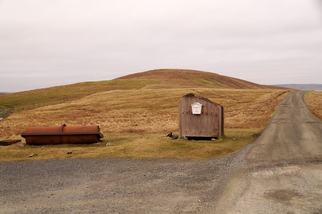
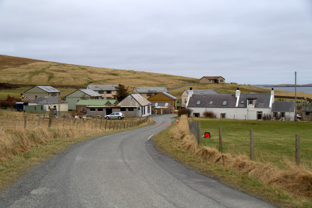
Turning Geo is a prominent coastal feature located on the Shetland Islands, Scotland. It is specifically classified as a headland or a point, given its distinctive shape and geographical characteristics. Situated on the eastern coast of the main island, it is positioned between the villages of Voe and Scalloway.
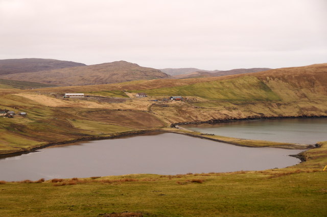
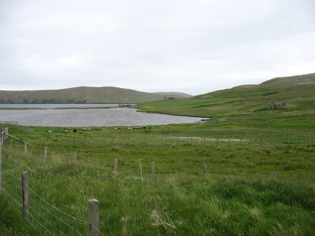
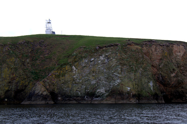
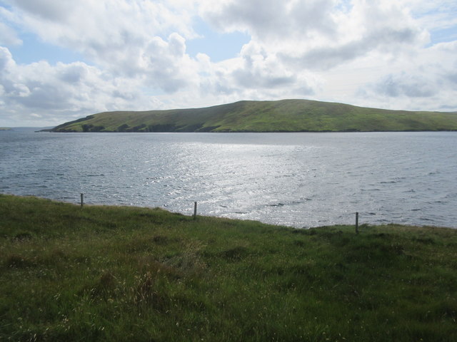
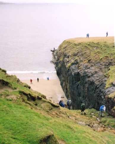
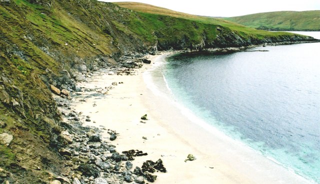
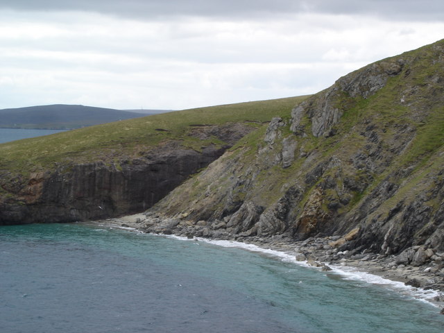
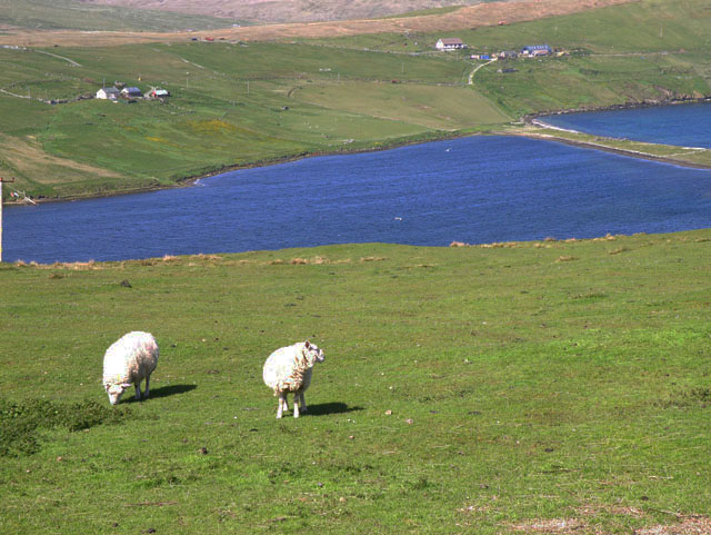
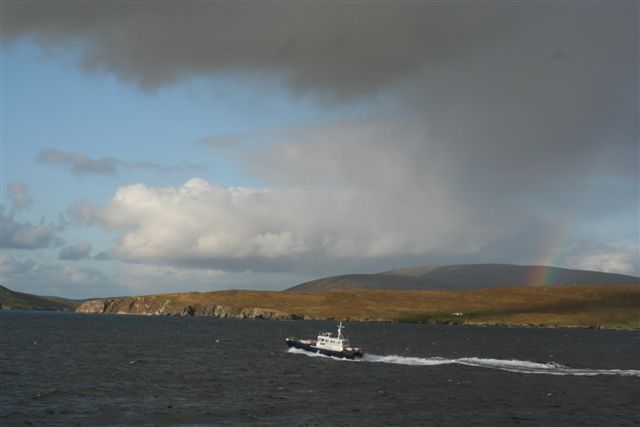
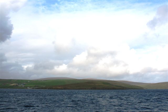
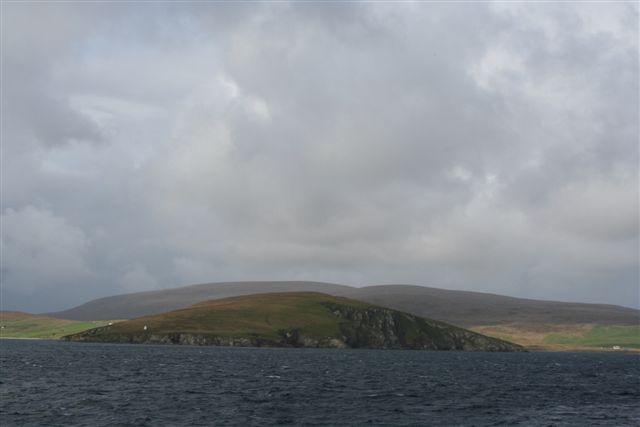
Turning Geo is characterized by its rugged and dramatic landscape, displaying steep cliffs that rise high above the North Sea. These cliffs, composed of sedimentary rock formations, are weathered by the constant battering of the waves, creating a stunning and picturesque sight. The headland's elevation provides visitors with breathtaking panoramic views of the surrounding area, including the vast expanse of the sea and the nearby coastline.
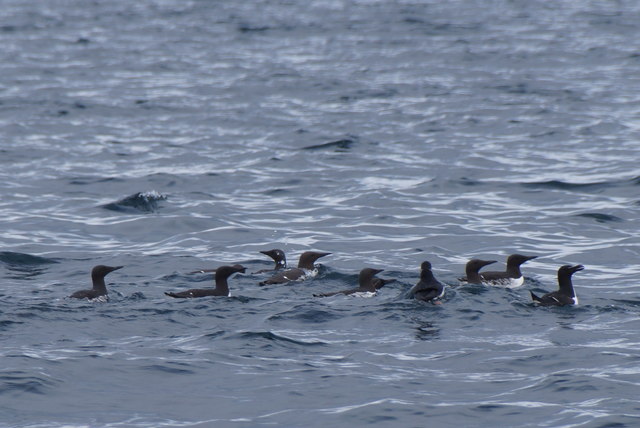
The area surrounding Turning Geo is rich in biodiversity, with various species of seabirds nesting on the cliffs, such as fulmars, kittiwakes, and guillemots. These birds can often be seen soaring above the cliffs or diving into the sea in search of food. The headland is also home to a diverse range of flora, with hardy plants and grasses clinging to the rocky terrain.
Due to its unique geological and ecological features, Turning Geo has become a popular destination for nature enthusiasts and photographers. Visitors can explore the headland by following the coastal path that leads to the edge of the cliffs, allowing them to appreciate the raw beauty and power of the North Sea. Additionally, the headland offers opportunities for outdoor activities such as birdwatching, hiking, and photography, attracting both locals and tourists alike.
In conclusion, Turning Geo is a captivating headland or point on the eastern coast of the Shetland Islands. Its rugged cliffs, diverse wildlife, and stunning views make it a must-visit coastal feature for those seeking a memorable natural experience.
If you have any feedback on the listing, please let us know in the comments section below.
Turning Geo Images
Images are sourced within 2km of 60.524418/-1.3249734 or Grid Reference HU3782. Thanks to Geograph Open Source API. All images are credited.


Turning Geo is located at Grid Ref: HU3782 (Lat: 60.524418, Lng: -1.3249734)
Unitary Authority: Shetland Islands
Police Authority: Highlands and Islands
What 3 Words
///headlines.invented.examples. Near Toft, Shetland Islands
Nearby Locations
Related Wikis

Lamba, Shetland
Lamba is an uninhabited island in Yell Sound in Shetland. It lies 1.5 km (0.93 mi) north of the entrance to the Sullom Voe inlet and 1.4 kilometres (0...

Ollaberry
Ollaberry (Old Norse: Olafrsberg, meaning Olaf's Hill) is a village on Mainland, Shetland, Scotland on the west shore of Yell Sound, 10.9 miles (17.5 km...

Voe, Northmavine
Voe is a settlement on the Northmavine peninsula of Mainland, Shetland, Scotland. It is at the head of Ronas Voe and just off the A970 road. == Whaling... ==

Little Roe
Little Roe is an island in Yell Sound in the Shetland Islands == History == The island's name is Norse in origin, from Rauðey Litla, meaning "small red...

Little Holm, Yell Sound
Little Holm is a small island in Yell Sound, in Shetland, Scotland. It lies between Northmavine and the island of Yell. There is a lighthouse here. In...

Northmavine
Northmavine or Northmaven (Old Norse: Norðan Mæfeið, meaning ‘the land north of the Mavis Grind’) is a peninsula in northwest Mainland Shetland in Scotland...

Brother Isle
Brother Isle (Old Norse: breiðare øy meaning broad beach island) is a small, uninhabited island in Shetland, Scotland. It lies between the islands of Yell...

Eela Water
Eela Water is a freshwater loch (lake) in Northmavine, part of the mainland of Shetland in Scotland. Besides being a freshwater fishing location, the site...
Nearby Amenities
Located within 500m of 60.524418,-1.3249734Have you been to Turning Geo?
Leave your review of Turning Geo below (or comments, questions and feedback).