Trolla Stack

Island in Shetland

Scotland

Trolla Stack

The end of the road at Queyfirth Three tracks continue, two heading to houses.
The end of the road at Queyfirth Credit: Mike Pennington

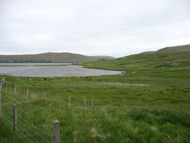
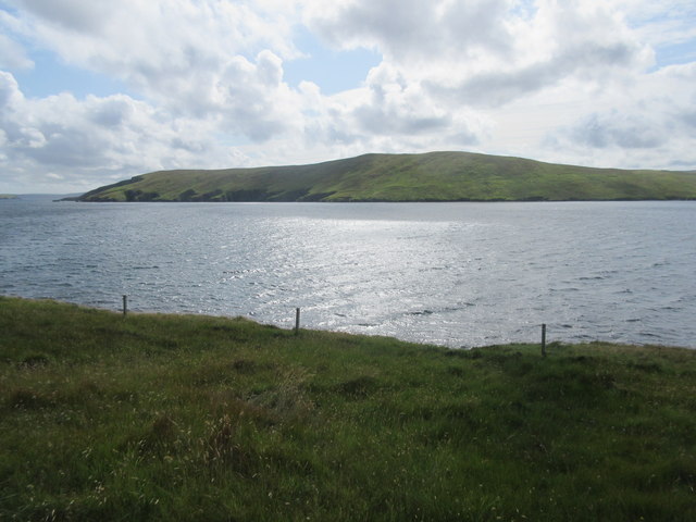
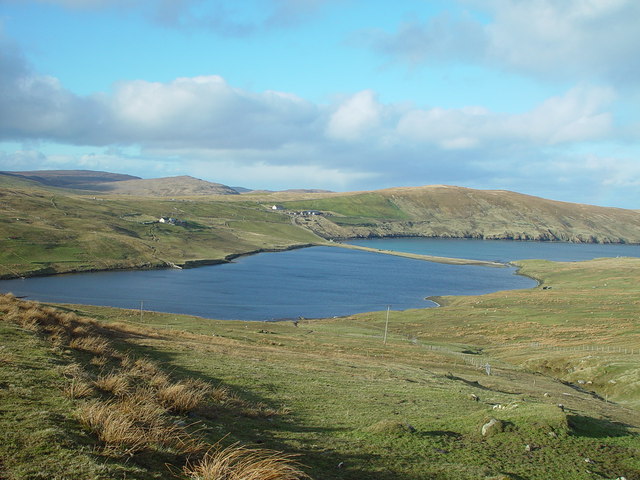
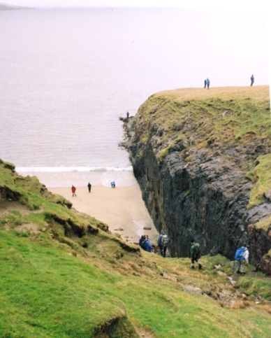
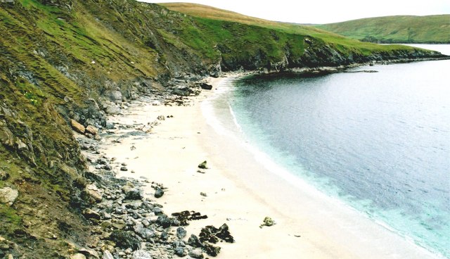
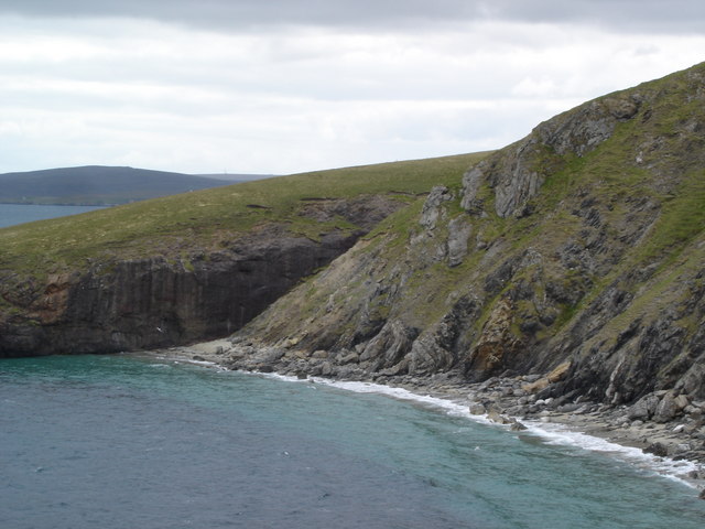
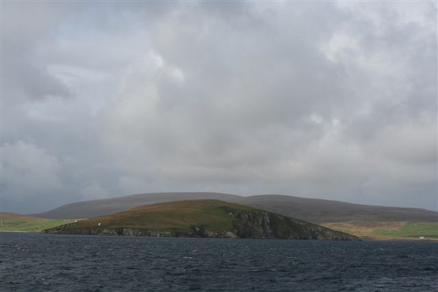
Trolla Stack is a prominent rock stack located off the coast of Shetland, an archipelago in Scotland. This natural landmark is situated in the North Sea, approximately 3 miles west of the mainland, near the village of Voe. Standing at an impressive height of around 200 feet, Trolla Stack is known for its striking appearance and rugged beauty.

The name "Trolla Stack" is derived from the Old Norse word "trollhaest," meaning "troll's heap." This name is fitting as the stack resembles a towering heap of rocks, jagged and imposing against the surrounding seascape. The formation is composed of layers of sandstone, shaped over thousands of years by the relentless forces of wind and water erosion.

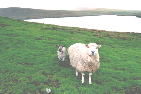
Trolla Stack is a popular attraction for tourists and nature enthusiasts, who come to witness its awe-inspiring presence and capture its dramatic silhouette against the horizon. The surrounding waters are also home to a diverse marine ecosystem, including seals and various seabird species, adding to the area's appeal for wildlife enthusiasts.

Access to Trolla Stack is primarily by boat, allowing visitors to get up close and fully appreciate its grandeur. However, it is important to note that the stack is situated in a remote and potentially hazardous location due to strong ocean currents and unpredictable weather conditions. Therefore, it is essential to exercise caution and seek guidance from local authorities or experienced tour operators to ensure a safe and enjoyable visit.

In conclusion, Trolla Stack is a remarkable natural landmark that showcases the raw power of nature. Its towering presence, rugged beauty, and surrounding marine life make it a must-see destination for those exploring the picturesque Shetland Islands.

If you have any feedback on the listing, please let us know in the comments section below.
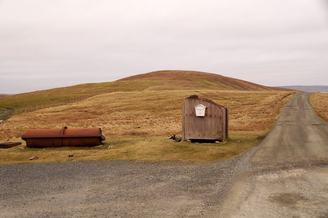
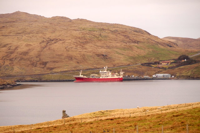
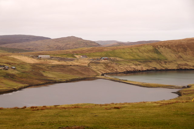
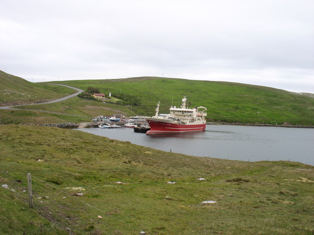
Trolla Stack Images

Images are sourced within 2km of 60.526623/-1.3260024 or Grid Reference HU3782. Thanks to Geograph Open Source API. All images are credited.

The end of the road at Queyfirth Three tracks continue, two heading to houses.
The end of the road at Queyfirth
Three tracks continue, two heading to houses.
MV Altaire at Collafirth pier, from Queyfirth
Loch of Queyfirth from Hill of Ollaberry The loch is really an arm of the sea, with an outflow at low tide and the sea encroaching at high tide.
Loch of Queyfirth from Hill of Ollaberry
The loch is really an arm of the sea, with an outflow at low tide and the sea encroaching at high tide.
MV Altaire in Voe of the Brig She seems to be manoeuvring, perhaps to prepare for her next departure?
MV Altaire in Voe of the Brig
She seems to be manoeuvring, perhaps to prepare for her next departure?
Housetter and Colla Firth
Colla Firth Looking across Colla Firth, which is just under 1km across so both sides are in the square, to Ness of Queyfirth.
Colla Firth
Looking across Colla Firth, which is just under 1km across so both sides are in the square, to Ness of Queyfirth.
MV Altaire at Collafirth Pier
Loch of Queyfirth, Shetland If you take the road from Upper Ollaberry signposted Leon you come over the ridge to the west the Hill of Ollaberry and are greeted with this view of the Loch of Queyfirth and Quey Firth.
Loch of Queyfirth, Shetland
If you take the road from Upper Ollaberry signposted Leon you come over the ridge to the west the Hill of Ollaberry and are greeted with this view of the Loch of Queyfirth and Quey Firth.
Saberstone This spectacular cliff is part of the Walls Boundary Fault, which cuts Shetland from north to south and may be the continuation of the Great Glen Fault in Scotland.
Saberstone
This spectacular cliff is part of the Walls Boundary Fault, which cuts Shetland from north to south and may be the continuation of the Great Glen Fault in Scotland.
Ness of Housetter A damp ewe and lamb on the headland above Colla Firth
Ness of Housetter
A damp ewe and lamb on the headland above Colla Firth
North Collafirth Scandinavian-style wooden houses are typical of Shetland. The blue drums are being used to shelter saplings from the worst of the weather.
North Collafirth
Scandinavian-style wooden houses are typical of Shetland. The blue drums are being used to shelter saplings from the worst of the weather.
Looking towards the Taing of Norwick The Taing is the headland beyond this fine but rather inaccessible beach.
Looking towards the Taing of Norwick
The Taing is the headland beyond this fine but rather inaccessible beach.
Ollaberry Fault An extension of the Great Glen Fault of Scotland, outcropping in Shetland. A must for all geologists.The cliff on the far side is granite; that on the nearside is schist.
Ollaberry Fault
An extension of the Great Glen Fault of Scotland, outcropping in Shetland. A must for all geologists.The cliff on the far side is granite; that on the nearside is schist.
Loch of Queyfirth
Loch of Queyfirth
Neap of skea  with pilot boat inbound
Neap of skea with pilot boat inbound
Back of Ollaberry
Back of Ollaberry
Tugs heading out to pilot station
Show me another place!

Trolla Stack is located at Grid Ref: HU3782 (Lat: 60.526623, Lng: -1.3260024)

Unitary Authority: Shetland Islands

Police Authority: Highlands and Islands

What 3 Words

///publish.hiked.lace. Near Toft, Shetland Islands

Related Wikis

Lamba, Shetland

Lamba is an uninhabited island in Yell Sound in Shetland. It lies 1.5 km (0.93 mi) north of the entrance to the Sullom Voe inlet and 1.4 kilometres (0...

Ollaberry

Ollaberry (Old Norse: Olafrsberg, meaning Olaf's Hill) is a village on Mainland, Shetland, Scotland on the west shore of Yell Sound, 10.9 miles (17.5 km...

Voe, Northmavine

Voe is a settlement on the Northmavine peninsula of Mainland, Shetland, Scotland. It is at the head of Ronas Voe and just off the A970 road. == Whaling... ==

Little Roe

Little Roe is an island in Yell Sound in the Shetland Islands == History == The island's name is Norse in origin, from Rauðey Litla, meaning "small red...

Little Holm, Yell Sound

Little Holm is a small island in Yell Sound, in Shetland, Scotland. It lies between Northmavine and the island of Yell. There is a lighthouse here. In...

Northmavine

Northmavine or Northmaven (Old Norse: Norðan Mæfeið, meaning ‘the land north of the Mavis Grind’) is a peninsula in northwest Mainland Shetland in Scotland...

Brother Isle

Brother Isle (Old Norse: breiðare øy meaning broad beach island) is a small, uninhabited island in Shetland, Scotland. It lies between the islands of Yell...
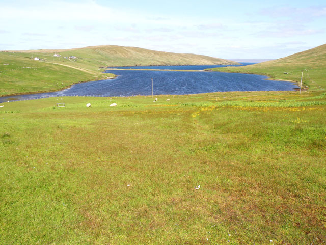
Eela Water

Eela Water is a freshwater loch (lake) in Northmavine, part of the mainland of Shetland in Scotland. Besides being a freshwater fishing location, the site...

Nearby Amenities

Located within 500m of 60.526623,-1.3260024
Seamark Light 1 Character: Oc
Seamark Light 1 Colour: white
Seamark Light 1 Height: 22
Seamark Light 1 Period: 6
Seamark Light 1 Range: 12
Seamark Light 1 Sector End: 290
Seamark Light 1 Sector Start: 150
Seamark Light 1 Sequence: 4+(2)
Seamark Light 2 Character: Oc
Seamark Light 2 Colour: green
Seamark Light 2 Height: 22
Seamark Light 2 Period: 6
Seamark Light 2 Range: 8
Seamark Light 2 Sector End: 327
Seamark Light 2 Sector Start: 290
Seamark Light 2 Sequence: 4+(2)
Seamark Light 3 Character: Oc
Seamark Light 3 Colour: white
Seamark Light 3 Height: 22
Seamark Light 3 Period: 6
Seamark Light 3 Range: 12
Seamark Light 3 Sector End: 334
Seamark Light 3 Sector Start: 327
Seamark Light 3 Sequence: 4+(2)
Seamark Light 4 Character: Oc
Seamark Light 4 Colour: red
Seamark Light 4 Height: 22
Seamark Light 4 Period: 6
Seamark Light 4 Range: 8
Seamark Light 4 Sector End: 80
Seamark Light 4 Sector Start: 334
Seamark Light 4 Sequence: 4+(2)
Seamark Light Reference: A 3820.5
Seamark Name: Quey Firth
Seamark Type: light_major
Source: US NGA Pub. 114. 2011-05-26.
Lat/Long: 60.5240372/-1.3259835
The data included in this document is from www.openstreetmap.org. The data is made available under ODbL.

Have you been to Trolla Stack?

Leave your review of Trolla Stack below (or comments, questions and feedback).