Muckle Rae Geo
Coastal Feature, Headland, Point in Shetland
Scotland
Muckle Rae Geo
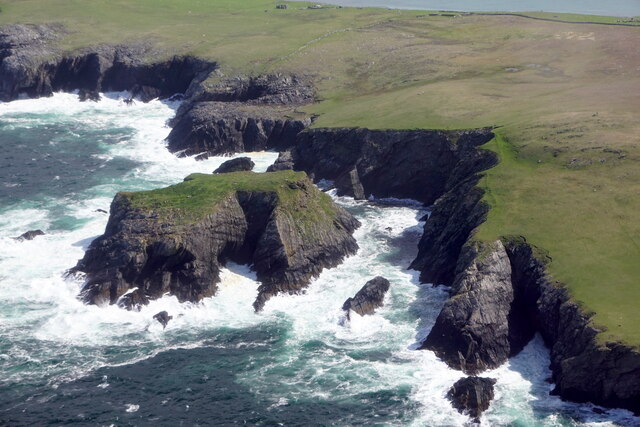
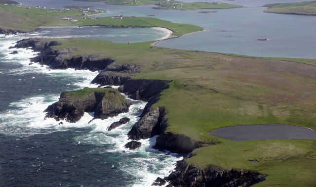
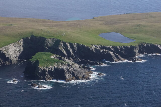
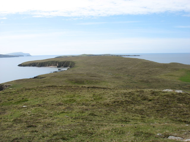
Muckle Rae Geo is a prominent coastal feature located in the Shetland Islands, an archipelago in Scotland. It is classified as a headland or point, characterized by its towering cliffs and rugged terrain. The name "Muckle Rae Geo" is derived from the Shetland dialect, with "Muckle" meaning "big" or "large" and "Rae" referring to a rocky headland.
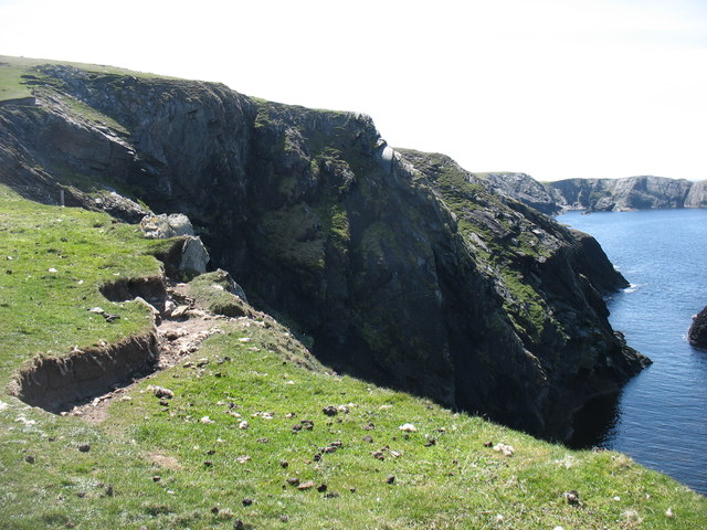
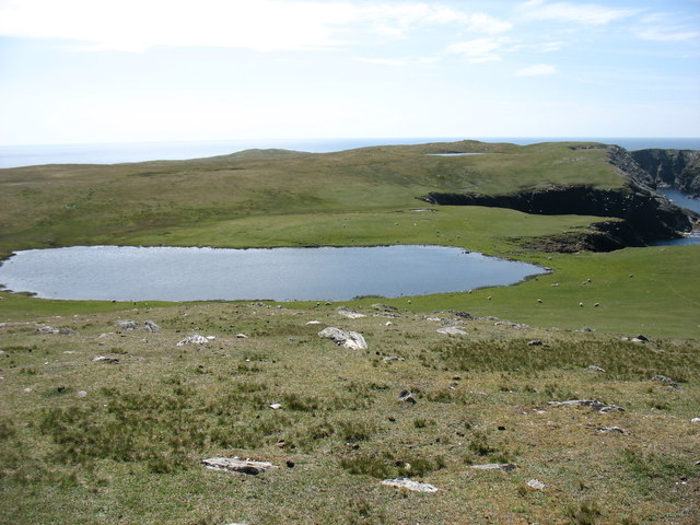
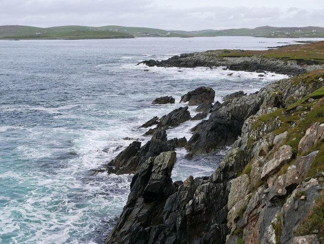
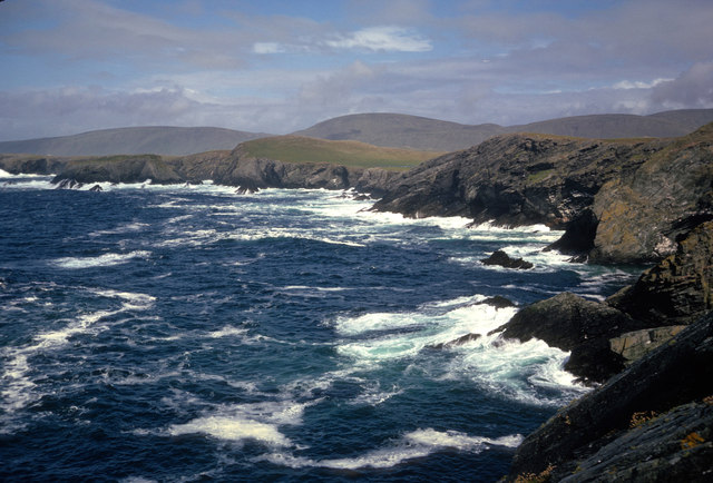
Situated on the northern coastline, Muckle Rae Geo offers breathtaking views of the North Atlantic Ocean. The cliffs rise dramatically from the sea, reaching heights of up to 150 feet (45 meters) in some areas. These soaring cliffs are composed of layers of sedimentary rock, displaying a fascinating geological history and providing insight into the region's ancient past.
The headland is known for its diverse wildlife, including various seabird species that nest along the cliffs. Visitors may spot colonies of puffins, guillemots, fulmars, and kittiwakes, among others. Muckle Rae Geo is also home to a range of marine life, such as seals and dolphins, which can occasionally be seen swimming in the surrounding waters.
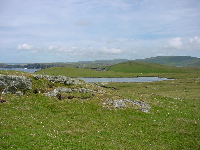
Access to Muckle Rae Geo is possible via a coastal path that winds its way along the cliffs, offering stunning panoramic views of the rugged coastline. However, caution is advised as the path can be challenging and exposed in certain sections. It is recommended to wear appropriate footwear and take necessary precautions while exploring this magnificent coastal feature.
If you have any feedback on the listing, please let us know in the comments section below.
Muckle Rae Geo Images
Images are sourced within 2km of 60.062729/-1.35145 or Grid Reference HU3631. Thanks to Geograph Open Source API. All images are credited.

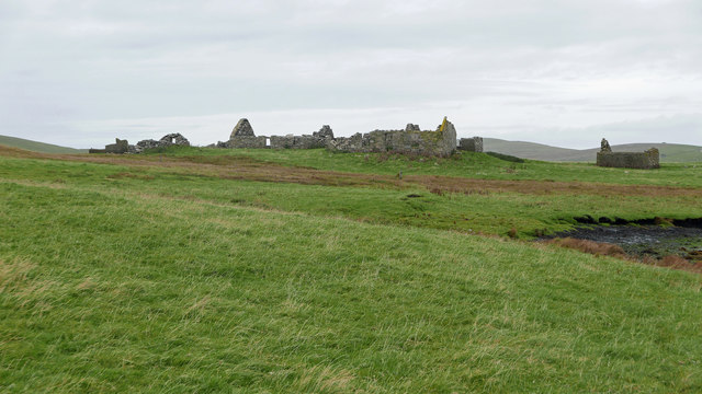
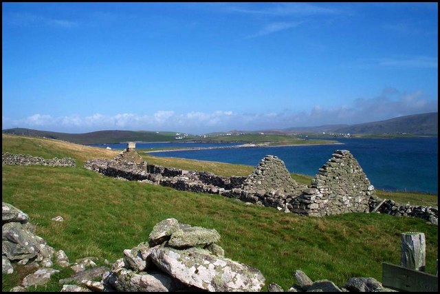
![Symbister This croft site was abandoned in the early 1950s largely because there was no road to it. [P. Guy, Walking the Coastline of Shetland, South Mainland, Shetland Times, Lerwick, 2000.]](https://s0.geograph.org.uk/photos/23/66/236620_619d44b1.jpg)
Muckle Rae Geo is located at Grid Ref: HU3631 (Lat: 60.062729, Lng: -1.35145)
Unitary Authority: Shetland Islands
Police Authority: Highlands and Islands
What 3 Words
///bullion.koala.squirted. Near Sandwick, Shetland Islands
Nearby Locations
Related Wikis

West Burra
West Burra is one of the Scalloway Islands, a subgroup of the Shetland Islands in Scotland. It is connected by bridge to East Burra. With an area of 743...

Burra, Shetland
Burra (Old Norse: Barrey ) is the collective name for two of the Shetland Islands, West (pop. 753) and East Burra (pop. 66), which are connected by bridge...

Scalloway Islands
The Scalloway Islands are in Shetland opposite Scalloway on south west of the Mainland. They form a mini-archipelago and include: Burra (two islands linked...
East Burra
East Burra (Scots: East Burra; Old Norse: "Barrey") is one of the Scalloway Islands, a subgroup of the Shetland Islands in Scotland. It is connected by...

South Havra
South Havra (Scots: Sooth Haevra; Old Norse: Hafrey), formerly Hevera, is an uninhabited island in the Scalloway Islands, Shetland, Scotland. == Geography... ==

South Mainland
The South Mainland of the Shetland Islands is the southern peninsula of Mainland island. It lies south of Hellister (60° 14′N). The greater southern part...

Little Havra
Little Havra is a small island off the west of South Mainland in Shetland. It is 35 metres (115 ft) at its highest point, upon which there is a cairn....

Oxna
Oxna is one of the Scalloway Islands, lying north west of Burra in Shetland, Scotland. Oxna has an area of 68 hectares (170 acres). The island has been...
Nearby Amenities
Located within 500m of 60.062729,-1.35145Have you been to Muckle Rae Geo?
Leave your review of Muckle Rae Geo below (or comments, questions and feedback).