Kame of Riven Noup
Coastal Feature, Headland, Point in Shetland
Scotland
Kame of Riven Noup
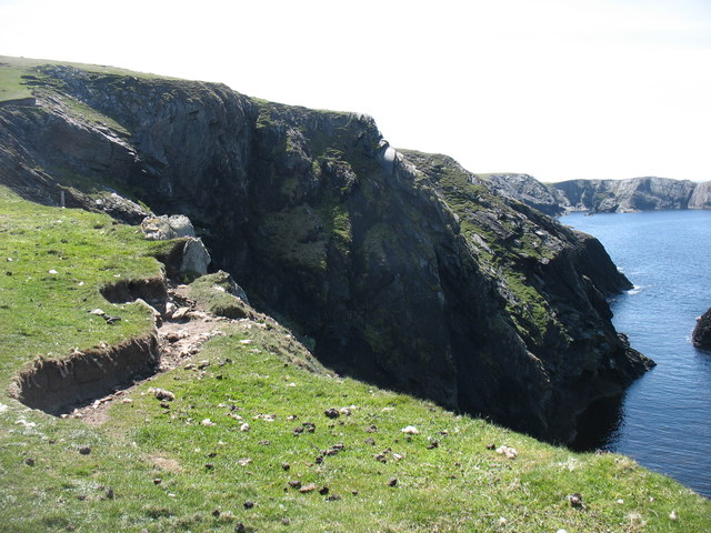
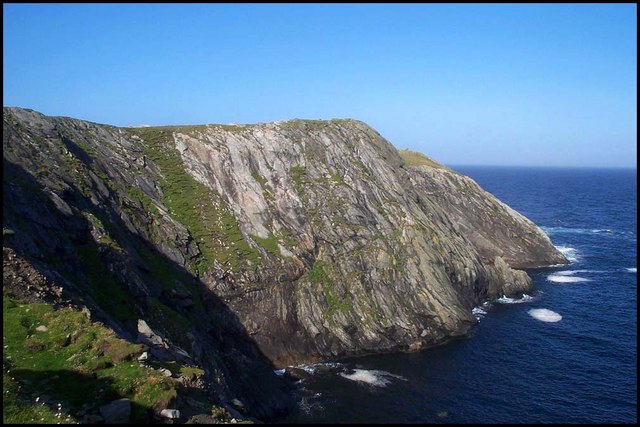
Kame of Riven Noup is a prominent coastal feature located on the island of Shetland, Scotland. It is specifically categorized as a headland or point due to its unique geographical formation. The name "kame" refers to a hill or ridge formed by glacial deposits, and "Riven Noup" is the specific name given to this particular kame.
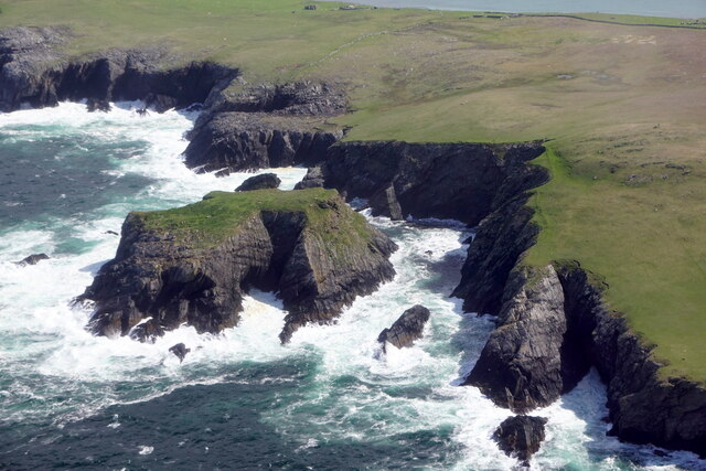
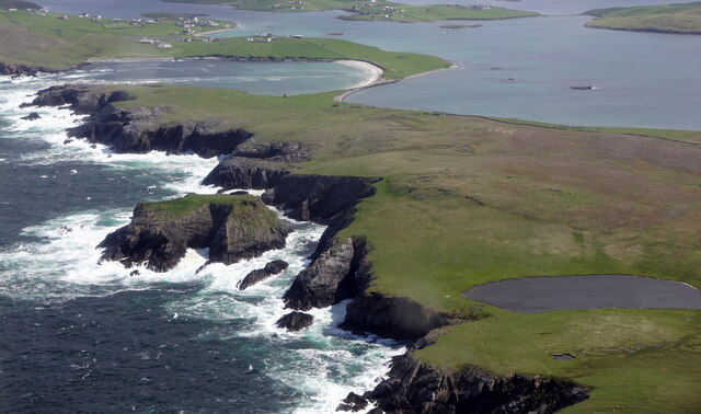
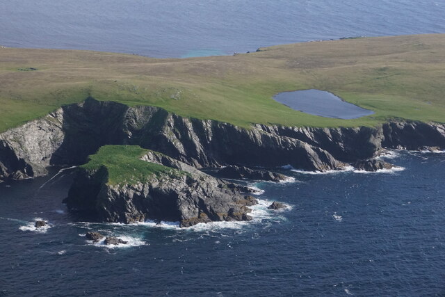
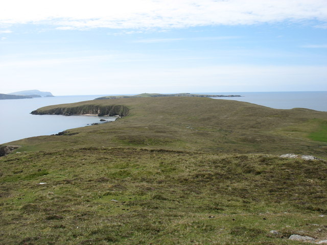
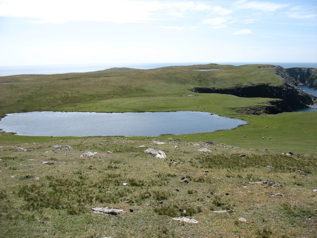
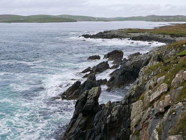
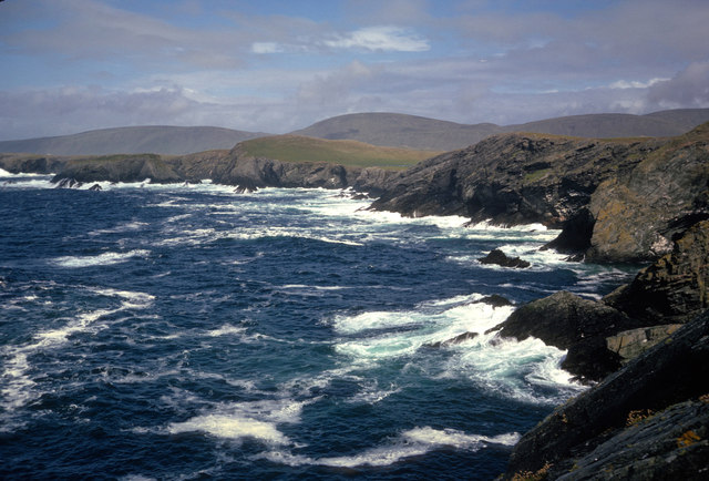
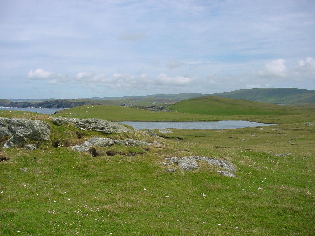
This coastal feature is situated on the west coast of Shetland, overlooking the North Atlantic Ocean. It is characterized by its distinct shape, which resembles a pyramid or cone, rising steeply from the surrounding landscape. The kame is composed of various types of sedimentary rock, including sandstone, shale, and limestone.
The Kame of Riven Noup is an important landmark in the area, offering stunning panoramic views of the surrounding coastline and the North Atlantic. It is a popular destination for tourists and hikers, who are drawn to its natural beauty and geological significance.
In addition to its aesthetic appeal, the kame also serves as a habitat for a diverse range of plant and animal species. The exposed cliffs and grassy slopes provide nesting grounds for seabirds such as puffins, guillemots, and razorbills. Rare plants, including sea campion and thrift, can also be found growing on the slopes of the kame.
Overall, the Kame of Riven Noup is a captivating coastal feature that showcases the unique geological history and natural biodiversity of Shetland. It offers visitors a chance to explore and appreciate the rugged beauty of this remote island.
If you have any feedback on the listing, please let us know in the comments section below.
Kame of Riven Noup Images
Images are sourced within 2km of 60.062629/-1.3530686 or Grid Reference HU3631. Thanks to Geograph Open Source API. All images are credited.

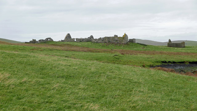
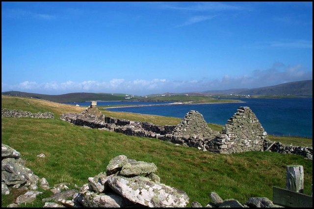
![Symbister This croft site was abandoned in the early 1950s largely because there was no road to it. [P. Guy, Walking the Coastline of Shetland, South Mainland, Shetland Times, Lerwick, 2000.]](https://s0.geograph.org.uk/photos/23/66/236620_619d44b1.jpg)
Kame of Riven Noup is located at Grid Ref: HU3631 (Lat: 60.062629, Lng: -1.3530686)
Unitary Authority: Shetland Islands
Police Authority: Highlands and Islands
What 3 Words
///changing.glorious.backswing. Near Sandwick, Shetland Islands
Nearby Locations
Related Wikis

West Burra
West Burra is one of the Scalloway Islands, a subgroup of the Shetland Islands in Scotland. It is connected by bridge to East Burra. With an area of 743...

Burra, Shetland
Burra (Old Norse: Barrey ) is the collective name for two of the Shetland Islands, West (pop. 753) and East Burra (pop. 66), which are connected by bridge...

Scalloway Islands
The Scalloway Islands are in Shetland opposite Scalloway on south west of the Mainland. They form a mini-archipelago and include: Burra (two islands linked...
East Burra
East Burra (Scots: East Burra; Old Norse: "Barrey") is one of the Scalloway Islands, a subgroup of the Shetland Islands in Scotland. It is connected by...

South Havra
South Havra (Scots: Sooth Haevra; Old Norse: Hafrey), formerly Hevera, is an uninhabited island in the Scalloway Islands, Shetland, Scotland. == Geography... ==

Little Havra
Little Havra is a small island off the west of South Mainland in Shetland. It is 35 metres (115 ft) at its highest point, upon which there is a cairn....

South Mainland
The South Mainland of the Shetland Islands is the southern peninsula of Mainland island. It lies south of Hellister (60° 14′N). The greater southern part...

Oxna
Oxna is one of the Scalloway Islands, lying north west of Burra in Shetland, Scotland. Oxna has an area of 68 hectares (170 acres). The island has been...
Have you been to Kame of Riven Noup?
Leave your review of Kame of Riven Noup below (or comments, questions and feedback).