Geo of Bruntlee
Coastal Feature, Headland, Point in Shetland
Scotland
Geo of Bruntlee
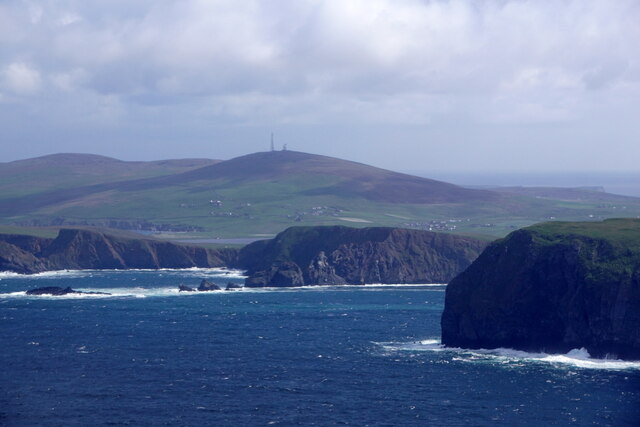
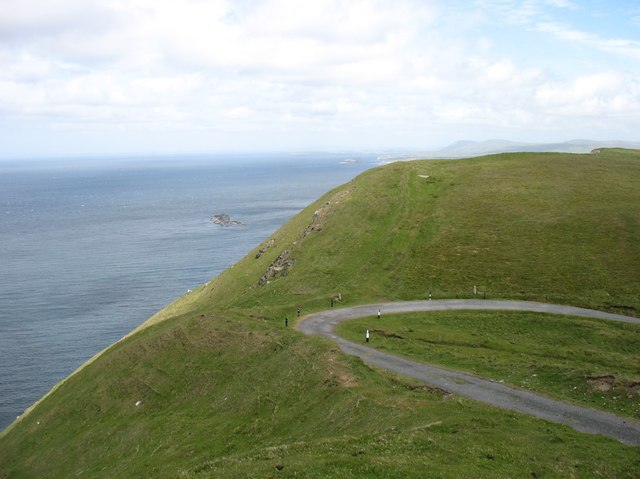
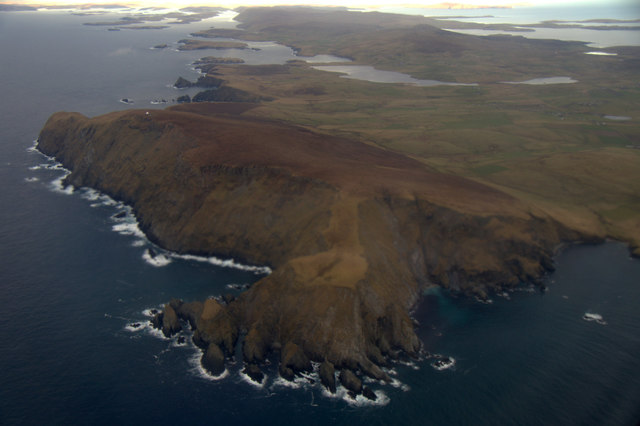
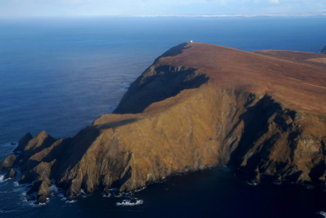
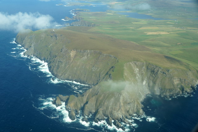
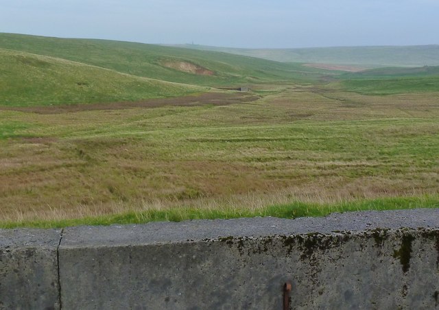
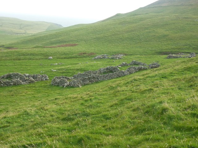
Geo of Bruntlee is a prominent coastal feature located in the Shetland Islands, Scotland. It is classified as a headland, specifically a point, due to its narrow, elongated shape that extends into the sea. The headland is situated on the east coast of Mainland, the largest island in the Shetland archipelago.
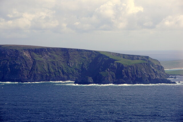
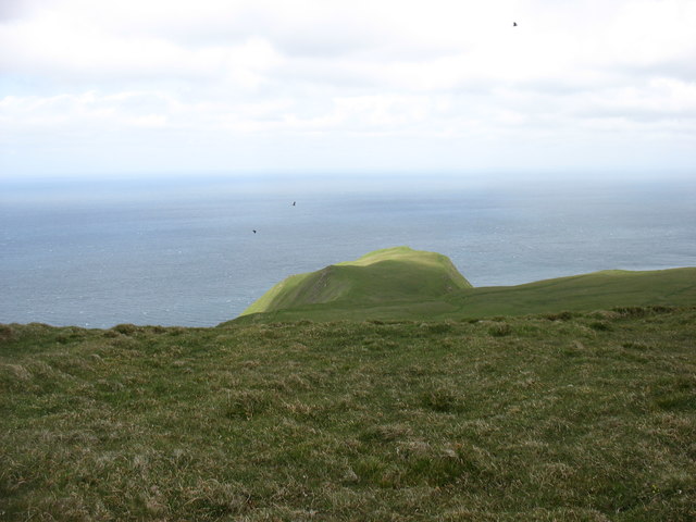
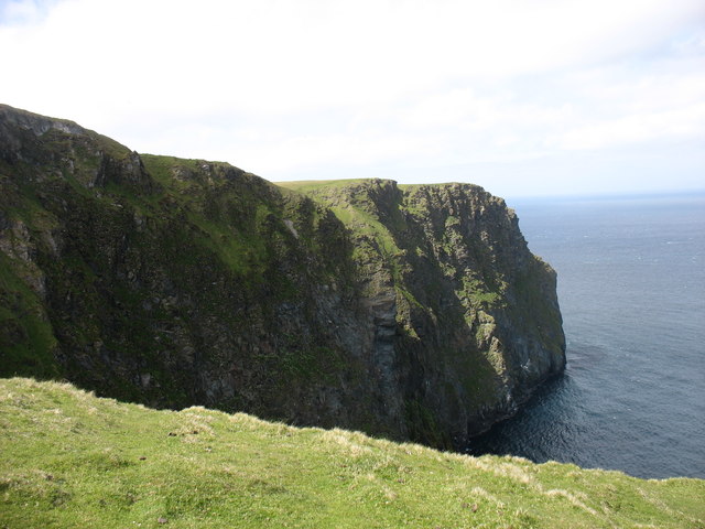
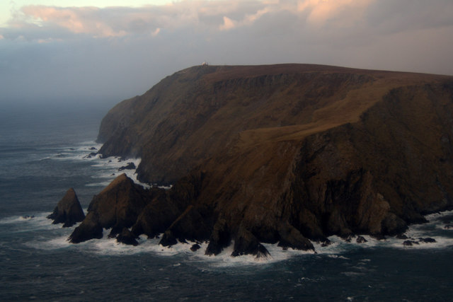
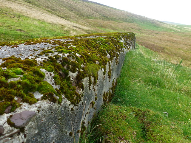
Known for its rugged and dramatic landscape, Geo of Bruntlee offers breathtaking views of the surrounding cliffs and the North Sea. The headland is characterized by its steep and rocky shoreline, which is particularly striking during high tides when waves crash against the cliffs. The geological formations found in this area are a testament to the region's turbulent past, shaped by erosion and the forces of nature over millions of years.
A variety of seabirds, such as puffins, guillemots, and gannets, can be spotted nesting on the cliffs of Geo of Bruntlee, making it a popular destination for birdwatchers and nature enthusiasts. Additionally, the headland is home to a diverse range of marine life, including seals, otters, and various species of fish.
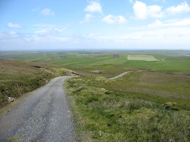
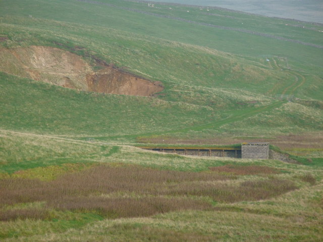
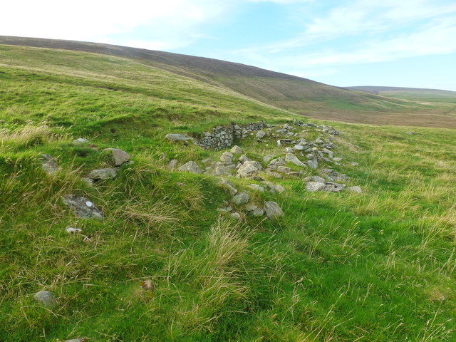
Access to Geo of Bruntlee is relatively easy, with a footpath leading from the nearby village of Burra. Visitors can explore the headland on foot, taking in the stunning coastal views and observing the unique flora and fauna that thrive in this rugged environment.
Overall, Geo of Bruntlee is a picturesque and captivating headland, offering visitors a chance to experience the untamed beauty of the Shetland Islands' coastline.
If you have any feedback on the listing, please let us know in the comments section below.
Geo of Bruntlee Images
Images are sourced within 2km of 59.9045/-1.3880555 or Grid Reference HU3413. Thanks to Geograph Open Source API. All images are credited.

Geo of Bruntlee is located at Grid Ref: HU3413 (Lat: 59.9045, Lng: -1.3880555)
Unitary Authority: Shetland Islands
Police Authority: Highlands and Islands
What 3 Words
///exile.handicaps.flashing. Near Sumburgh, Shetland Islands
Nearby Locations
Related Wikis

Fitful Head
Fitful Head is a 283-metre-high (928 ft) headland at the southwest corner of Mainland, Shetland, Scotland, some 6 kilometres (3.7 mi) northwest of the...

MV Braer
The MV Braer was an oil tanker which ran aground during a storm off Shetland, Scotland, in January 1993, and nearly a week later broke up during the most...

Lochs of Spiggie and Brow
The Lochs of Spiggie and Brow are located west of Boddam in the parish of Dunrossness, in the South Mainland of Shetland, Scotland, about 6 km north of...

Toab, Shetland
Toab is the southernmost village on Mainland, Shetland, Scotland. It is part of Virkie and overlooks Sumburgh Airport. Toab is within the parish of Dunrossness...
Nearby Amenities
Located within 500m of 59.9045,-1.3880555Have you been to Geo of Bruntlee?
Leave your review of Geo of Bruntlee below (or comments, questions and feedback).