Green Taing

Coastal Feature, Headland, Point in Shetland

Scotland

Green Taing

View across Boat Geo The island of Linga <a href="https://www.geograph.org.uk/gridref/HU3563">HU3563</a> in the middle distance.
View across Boat Geo Credit: Oliver Dixon

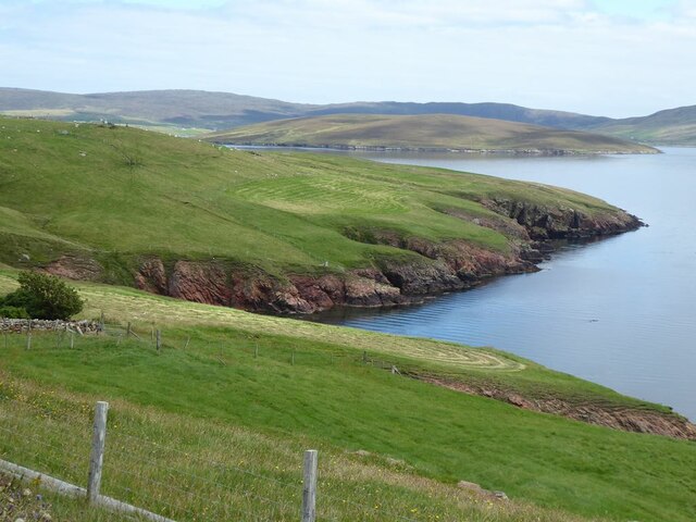
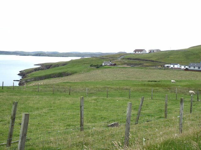
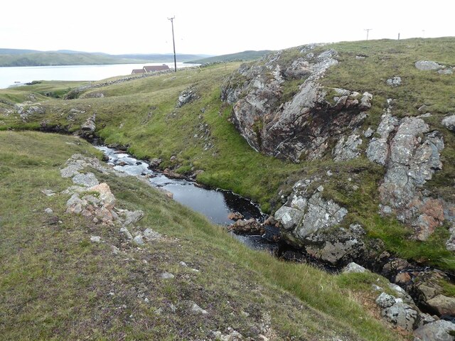
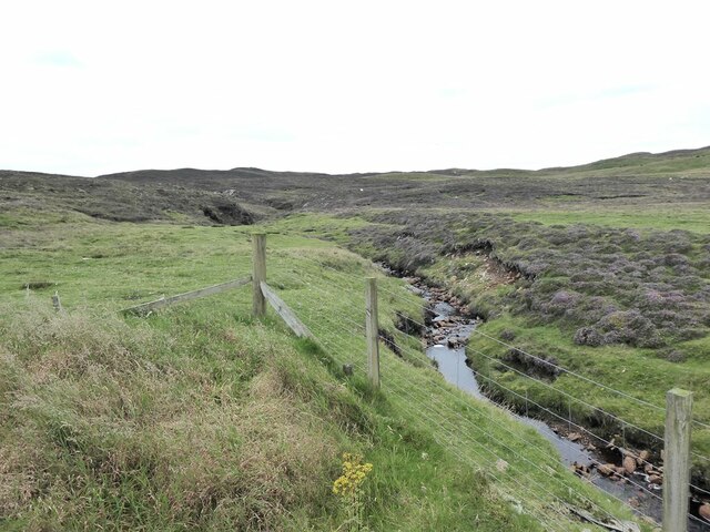
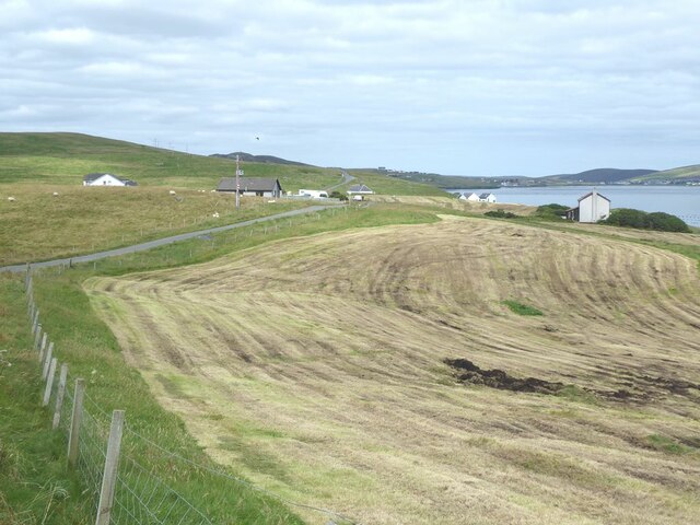
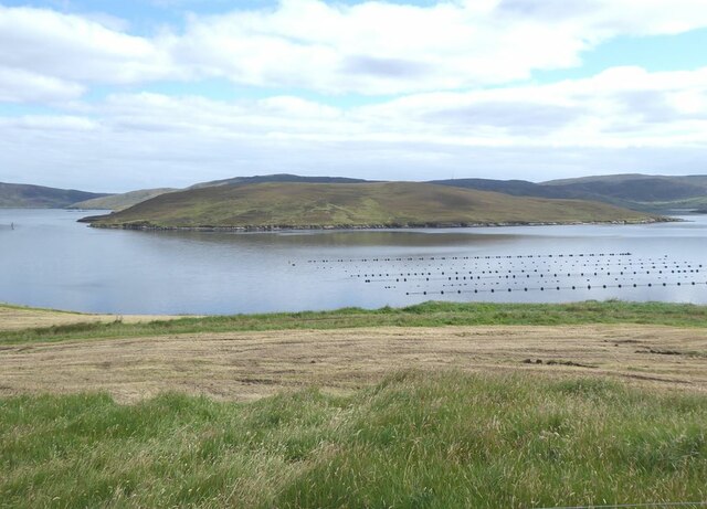
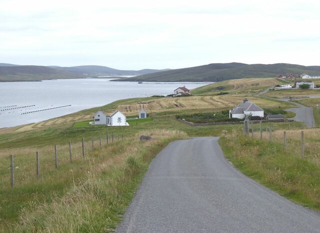
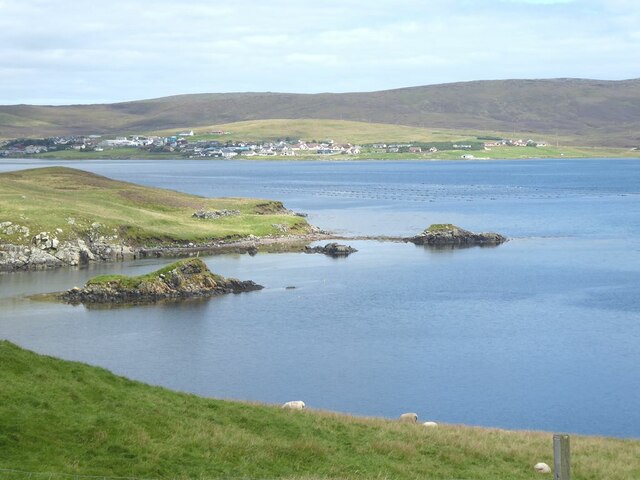
Green Taing is a prominent headland located on the west coast of the Shetland Islands in Scotland. It is known for its rugged cliffs, lush green vegetation, and stunning views of the surrounding coastline. The headland juts out into the North Sea, offering a strategic vantage point for observing marine wildlife and enjoying the beauty of the natural landscape.

Green Taing is characterized by its steep cliffs, which rise dramatically from the sea below. The headland is covered in a variety of plant life, including grasses, heather, and wildflowers, giving it a vibrant green hue that contrasts sharply with the deep blue of the ocean. The headland is also home to a variety of bird species, making it a popular spot for birdwatching.

In addition to its natural beauty, Green Taing also has historical significance. The headland is believed to have been inhabited by humans for thousands of years, with archaeological evidence suggesting that it was once a site of ancient settlements. Today, visitors can explore the headland on foot, taking in the breathtaking views and learning about its rich history and natural heritage.

If you have any feedback on the listing, please let us know in the comments section below.

Green Taing Images

Images are sourced within 2km of 60.363614/-1.3795283 or Grid Reference HU3464. Thanks to Geograph Open Source API. All images are credited.

View across Boat Geo The island of Linga <a href="https://www.geograph.org.uk/gridref/HU3563">HU3563</a> in the middle distance.
View across Boat Geo
The island of Linga HU3563 in the middle distance.
Littleburn Scattering of houses on the south shore of Muckle Roe.
Littleburn
Scattering of houses on the south shore of Muckle Roe.
Hill climb at Knowe Mussel farm in the sea. The island of Linga <a href="https://www.geograph.org.uk/gridref/HU3563">HU3563</a> beyond.
Hill climb at Knowe
Mussel farm in the sea. The island of Linga HU3563 beyond.
Ayredale on Muckle Roe Mussel farm in the sea. The island of Linga <a href="https://www.geograph.org.uk/gridref/HU3563">HU3563</a> beyond.
Ayredale on Muckle Roe
Mussel farm in the sea. The island of Linga HU3563 beyond.
Gorge of the Burn of Scarfataing The map shows a waterfall at this spot. Although a spectacular gorge, any waterfall mush be pretty small.
Gorge of the Burn of Scarfataing
The map shows a waterfall at this spot. Although a spectacular gorge, any waterfall mush be pretty small.
The Burn of Scarfataing
Muckle Roe Cemetery Up a track some distance inland. The cemetery allegedly includes war grave(s) but we couldn't identify any.
Muckle Roe Cemetery
Up a track some distance inland. The cemetery allegedly includes war grave(s) but we couldn't identify any.
Roe Sound and the road to Burn
Muckle Roe Marina The Marina is actually on the Mainland side of Roe Sound. The island of Crog Holm to the left.
Muckle Roe Marina
The Marina is actually on the Mainland side of Roe Sound. The island of Crog Holm to the left.
Freshly mown field at Greentaing On the east coast of Muckle Roe.
Freshly mown field at Greentaing
On the east coast of Muckle Roe.
Mown field and mussel farm at Greentaing The island of Linga <a href="https://www.geograph.org.uk/gridref/HU3563">HU3563</a> in the middle distance.
Mown field and mussel farm at Greentaing
The island of Linga HU3563 in the middle distance.
Greentaing House on Muckle Roe. The village of Brae <a href="https://www.geograph.org.uk/gridref/HU3567">HU3567</a>] can be seen in the distance at the head of Busta Voe.
Greentaing
House on Muckle Roe. The village of Brae HU3567] can be seen in the distance at the head of Busta Voe.
Road on the east side of Muckle Roe The island of Papa Little <a href="https://www.geograph.org.uk/gridref/HU3561">HU3561</a> in the middle distance.
Road on the east side of Muckle Roe
The island of Papa Little HU3561 in the middle distance.
The Viora (LK177) Six ton shellfish fishing boat at the Muckle Roe Bridge jetty. The road to Brae climbs steeply up the hillside on the far side of the Sound.
The Viora (LK177)
Six ton shellfish fishing boat at the Muckle Roe Bridge jetty. The road to Brae climbs steeply up the hillside on the far side of the Sound.
Fishing paraphernalia  at Muckle Roe Bridge jetty Looking up Roe Sound with the island of Muckle Roe to the left.
Fishing paraphernalia at Muckle Roe Bridge jetty
Looking up Roe Sound with the island of Muckle Roe to the left.
Muckle Roe Bridge The original bridge between Mainland and the island of Muckle Roe (towards camera) was built in 1905, and was replaced in 1999.
Muckle Roe Bridge
The original bridge between Mainland and the island of Muckle Roe (towards camera) was built in 1905, and was replaced in 1999.
Burgastoo The small tidal rock of Burgastoo stands at the eastern entrance to Roe Sound (to the left). The village of Brae <a href="https://www.geograph.org.uk/gridref/HU3567">HU3567</a> can be seen at the head of Busta Voe.
Burgastoo
The small tidal rock of Burgastoo stands at the eastern entrance to Roe Sound (to the left). The village of Brae HU3567 can be seen at the head of Busta Voe.
Muckle Roe Bridge Linking the Mainland with the island of Muckle Roe. The original bridge was built in 1905, and was replaced in 1999.
Muckle Roe Bridge
Linking the Mainland with the island of Muckle Roe. The original bridge was built in 1905, and was replaced in 1999.
Show me another place!

Green Taing is located at Grid Ref: HU3464 (Lat: 60.363614, Lng: -1.3795283)

Unitary Authority: Shetland Islands

Police Authority: Highlands and Islands

What 3 Words

///senses.familiar.noun. Near Brae, Shetland Islands

Nearby Locations

Green Taing

Related Wikis

Linga, Busta Voe

Linga is a small, uninhabited island, 1 km (0.62 mi) east of Muckle Roe in the Shetland Islands. The island is roughly circular in shape and its highest...

Muckle Roe

Muckle Roe is an island in Shetland, Scotland, in St. Magnus Bay, to the west of Mainland. It has a population of around 130 people, who mainly croft and...

Busta Voe

Busta Voe, (HU665350), in the north central Mainland, Shetland, is a sea inlet lying between the village of Brae and the island of Muckle Roe. At the head...

Papa Little

Papa Little (Scots: Papa Little; Old Norse: Papey Litla, meaning "the little island of the priests") is an island in St Magnus Bay, Shetland, Scotland...

Nearby Amenities

Located within 500m of 60.363614,-1.3795283
Power: pole
Lat/Long: 60.3605842/-1.3854548
Power: pole
Lat/Long: 60.3610073/-1.3847709
Power: pole
Lat/Long: 60.361319/-1.3842291
Power: pole
Lat/Long: 60.3618801/-1.3832447
Power: pole
Lat/Long: 60.366867/-1.3835156
Power: pole
Lat/Long: 60.3674452/-1.3835746
The data included in this document is from www.openstreetmap.org. The data is made available under ODbL.

Have you been to Green Taing?

Leave your review of Green Taing below (or comments, questions and feedback).