Whal Horn
Coastal Feature, Headland, Point in Shetland
Scotland
Whal Horn
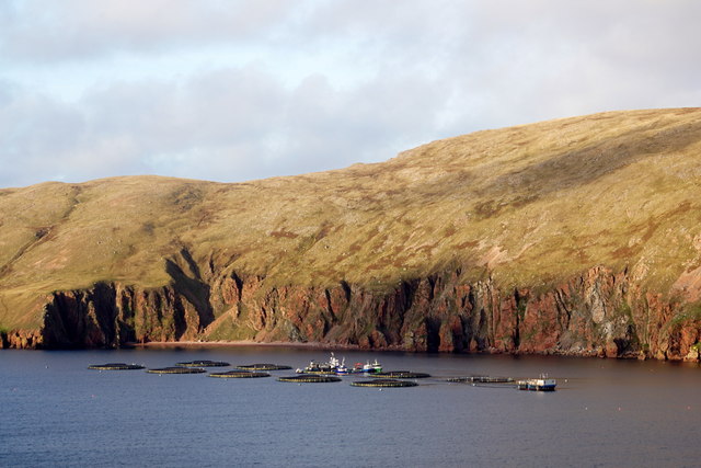
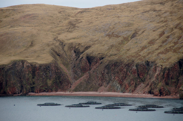
Whal Horn is a prominent coastal feature located in the Shetland Islands, which are situated off the northern coast of Scotland. It is a headland that juts out into the North Sea, forming a distinctive point along the rugged coastline of Shetland.
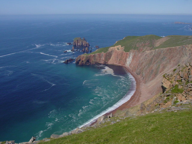
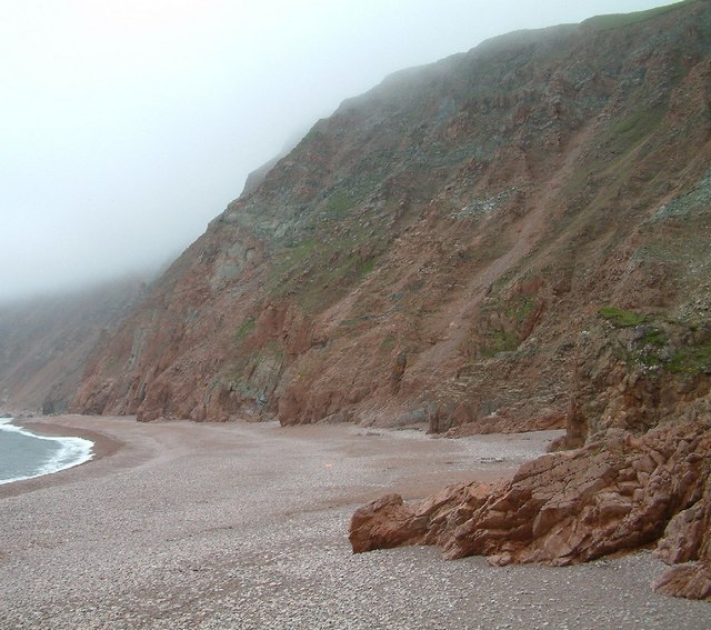
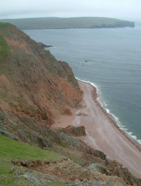
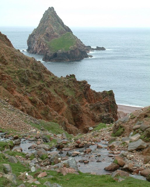
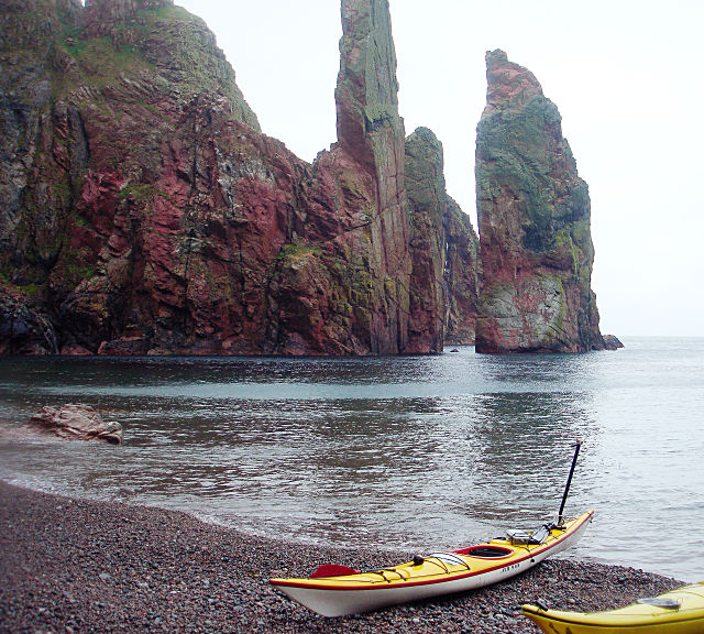
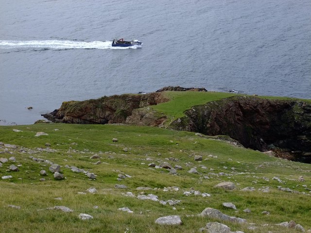
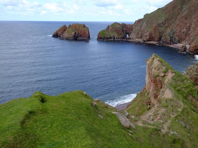
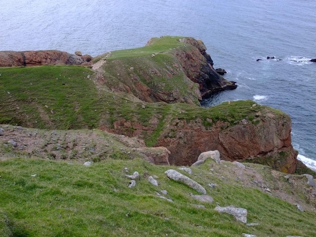
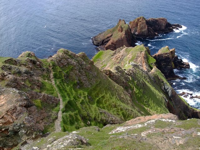
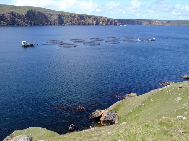
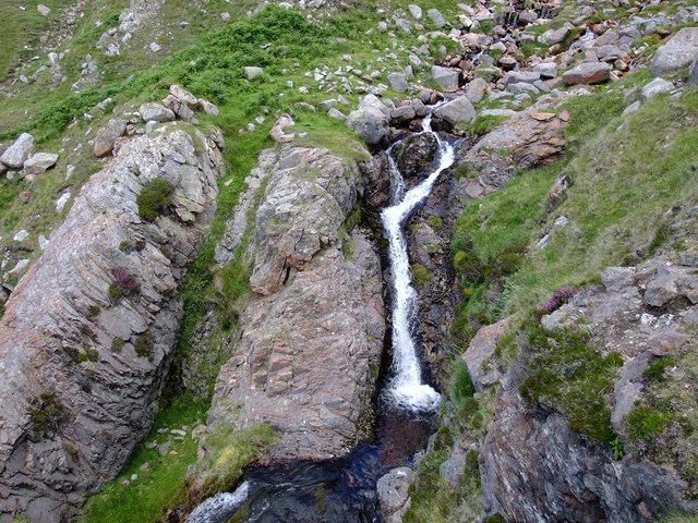
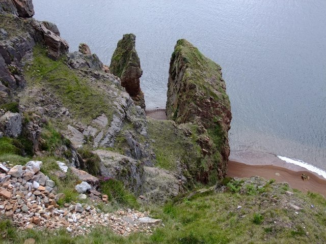
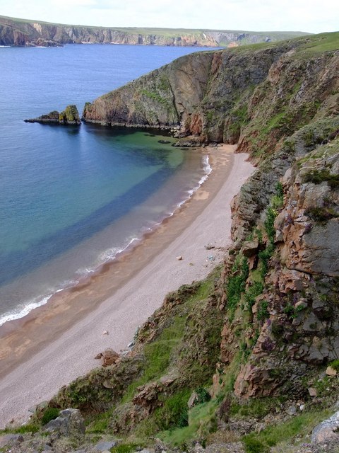
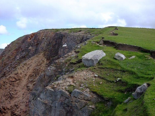
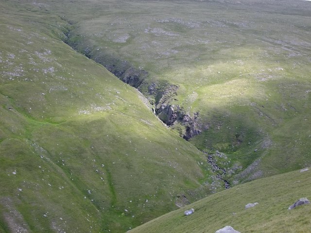
Rising to an elevation of approximately 50 meters (164 feet) above sea level, Whal Horn offers stunning panoramic views of the surrounding seascape. The headland is characterized by steep cliffs, battered by the relentless waves and winds of the North Sea. These cliffs provide nesting grounds for various seabird species, including puffins, guillemots, and razorbills. The area is also home to a diverse range of plant life, with hardy coastal vegetation clinging to the rocky slopes.
Whal Horn is known for its historical significance, as it has served as a navigational landmark for centuries. Its prominent position has made it a crucial reference point for sailors and fishermen traversing the treacherous waters around the Shetland Islands. The name "Whal Horn" is derived from the Old Norse words "hvalr," meaning whale, and "horn," meaning promontory, reflecting the headland's association with marine life.
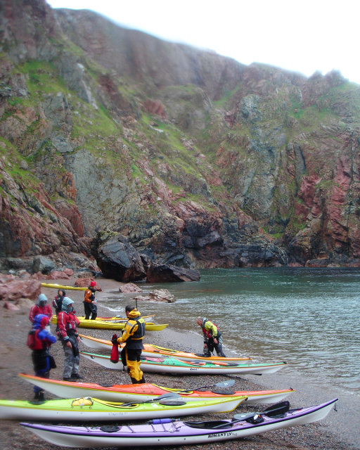
The headland is easily accessible to visitors, with a well-maintained path leading to its summit. This allows visitors to explore the area and enjoy its breathtaking views. Additionally, Whal Horn is a popular spot for wildlife enthusiasts and photographers, who flock to witness the diverse array of seabirds and other coastal creatures that call this headland home.
In conclusion, Whal Horn is a prominent and historically significant headland in the Shetland Islands. With its dramatic cliffs, abundant wildlife, and stunning views, it offers a unique and memorable experience for visitors to this remote and beautiful part of Scotland.
If you have any feedback on the listing, please let us know in the comments section below.
Whal Horn Images
Images are sourced within 2km of 60.541233/-1.4955362 or Grid Reference HU2784. Thanks to Geograph Open Source API. All images are credited.
Whal Horn is located at Grid Ref: HU2784 (Lat: 60.541233, Lng: -1.4955362)
Unitary Authority: Shetland Islands
Police Authority: Highlands and Islands
What 3 Words
///sooner.sprouting.worthy. Near Toft, Shetland Islands
Nearby Locations
Related Wikis

Lang Ayre
The Lang Ayre is a beach on the west side of Ronas Hill, Northmavine, Shetland. At 1 kilometre (0.6 mi) in length it is the archipelago's longest. It is...

Ronas Voe
Ronas Voe (pronounced [ˈrø̞nis ˌvo̞:] Shetland Dialect: Rønies Voe) is a voe in Northmavine, Shetland. It divides the land between Ronas Hill, Shetland...

Tingon
Tingon is a peninsula in the north-west of Northmavine, Shetland. It is delineated on the east by Ronas Voe, and on the west by Hamnavoe. It is designated...

Ronas Hill
Ronas Hill (or Rönies Hill) is a hill in Shetland, Scotland. It is classed as a Marilyn, and is the highest point in the Shetland Islands at an elevation...
Have you been to Whal Horn?
Leave your review of Whal Horn below (or comments, questions and feedback).