Starling Geo
Coastal Feature, Headland, Point in Shetland
Scotland
Starling Geo
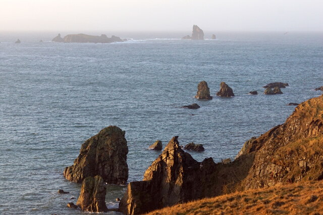
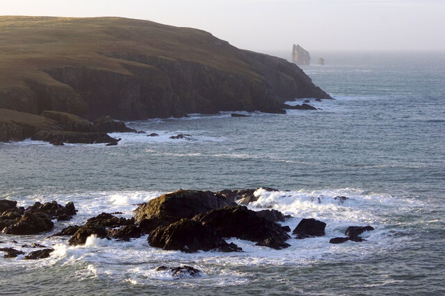
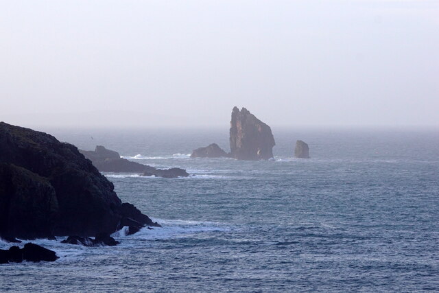
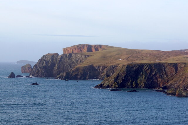
Starling Geo is a prominent coastal feature located in the Shetland Islands, Scotland. It is classified as a headland, also referred to as a point due to its distinct shape and geographical positioning. The headland is situated on the northeastern coast of the Mainland, the largest and most populated island in the Shetland archipelago.
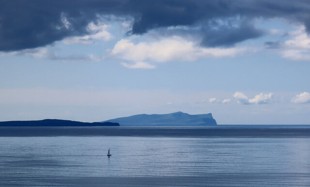
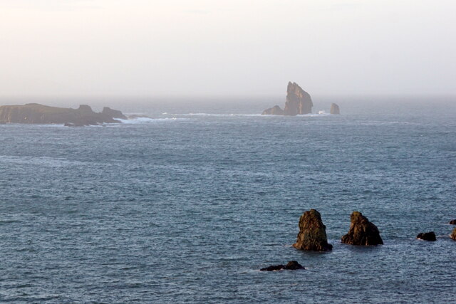
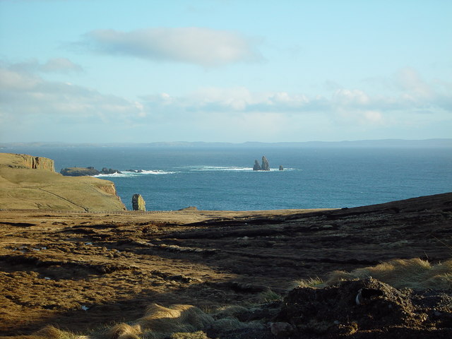
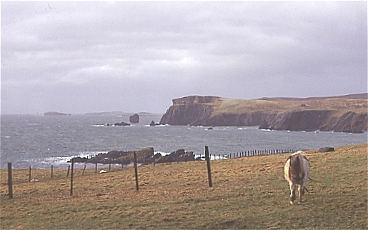
Starling Geo is characterized by its rugged and steep cliffs that rise vertically from the surrounding waters. The cliffs, which reach heights of approximately 100 meters, are composed of layered sedimentary rocks, showcasing a variety of colors and patterns. These formations have been shaped over thousands of years by the relentless pounding of the North Sea, resulting in dramatic and picturesque scenery.
The headland offers breathtaking views of the surrounding coastal landscape, including the vast expanse of the North Sea and the neighboring islands. The area is also home to a diverse range of flora and fauna, with seabird colonies nesting along the cliffs, including species such as puffins, kittiwakes, and fulmars. The surrounding waters are known for their rich marine life, attracting seals, dolphins, and occasionally whales.
Starling Geo is a popular destination for tourists and nature enthusiasts who enjoy hiking along the coastal paths and exploring the unique geological formations. The headland also provides an ideal vantage point for birdwatching and photography, allowing visitors to capture the beauty and serenity of this remote coastal location.
Overall, Starling Geo in Shetland is a remarkable coastal feature, combining stunning natural beauty, rich biodiversity, and geological significance, making it a must-visit destination for those seeking an authentic and awe-inspiring Scottish coastal experience.
If you have any feedback on the listing, please let us know in the comments section below.
Starling Geo Images
Images are sourced within 2km of 60.481476/-1.4964456 or Grid Reference HU2777. Thanks to Geograph Open Source API. All images are credited.
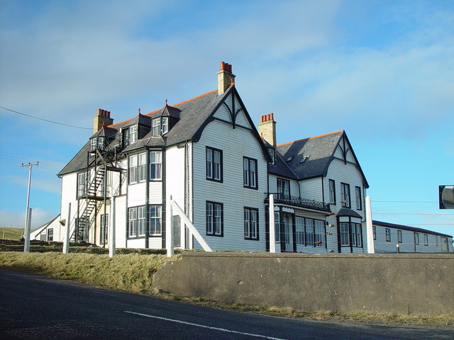
![St Magnus Bay Hotel, Hillswick, Shetland Built in 1900 by the North of Scotland Ferry company. Still functioning, just [in 2004], but the absentee landlord is clearly not interested in maintaining it as a hotel, which is sad.](https://s3.geograph.org.uk/photos/00/62/006251_e10baf81.jpg)

Starling Geo is located at Grid Ref: HU2777 (Lat: 60.481476, Lng: -1.4964456)
Unitary Authority: Shetland Islands
Police Authority: Highlands and Islands
What 3 Words
///helpful.nightcap.charge. Near Brae, Shetland Islands
Nearby Locations
Related Wikis

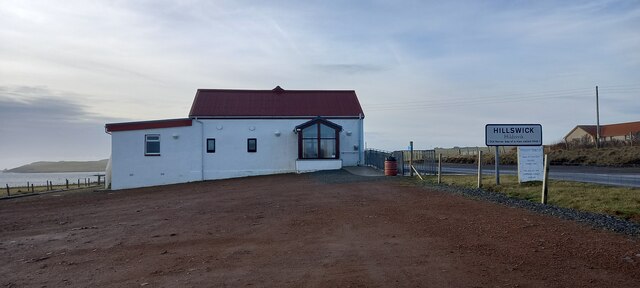
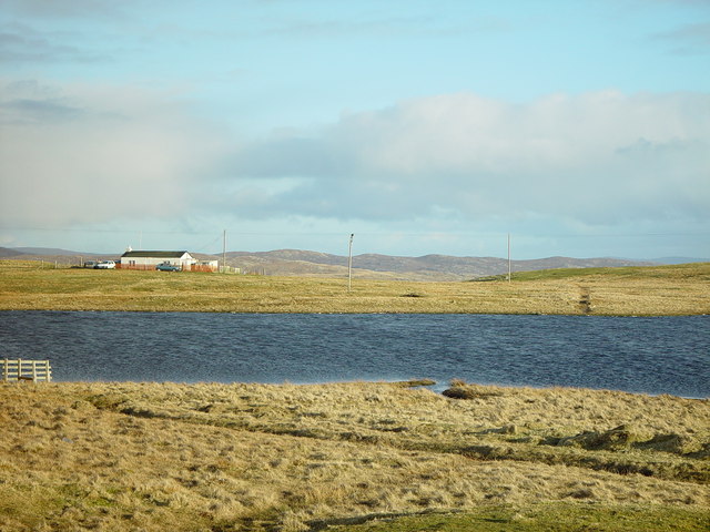
Hillswick
Hillswick is a small village in Northmavine, on the shore of the Atlantic Ocean and lies to the north-north west of Mainland, Shetland, the most northerly...

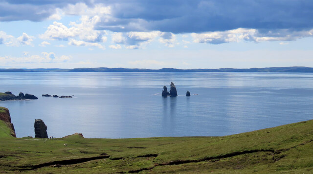
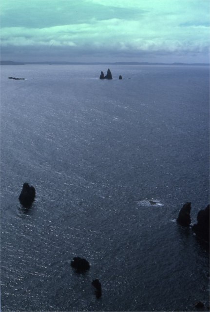
The Drongs
The Drongs are a group of sea stacks off the coast of Hillswick Ness, Northmavine, Shetland, Scotland. They lie to the west of the Isle of Westerhouse...

Assater
Assater (also spelled Assetter) is a hamlet on Mainland, in Shetland, Scotland. Assater is situated in the parish of Northmaven. It is about 1.3 miles...

Heylor
Heylor is a settlement situated on the south side of Ronas Voe in Northmavine, Shetland, Scotland. It lies directly opposite Ronas Hill, Shetland's tallest...
Nearby Amenities
Located within 500m of 60.481476,-1.4964456Have you been to Starling Geo?
Leave your review of Starling Geo below (or comments, questions and feedback).