Blowup Nose
Coastal Feature, Headland, Point in Kincardineshire
Scotland
Blowup Nose
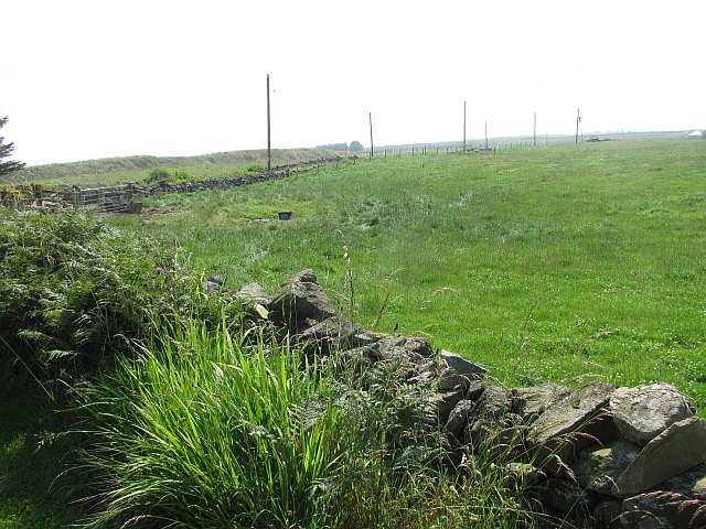
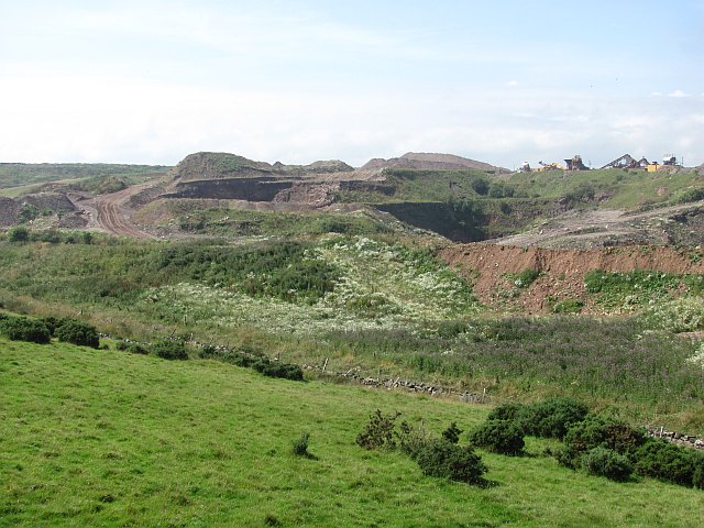
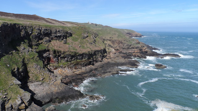
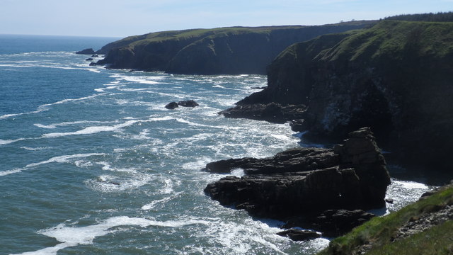
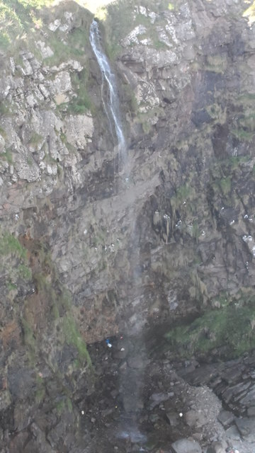
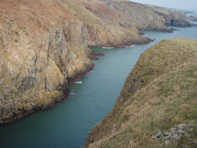
Blowup Nose is a prominent coastal feature located in Kincardineshire, Scotland. It is classified as a headland or a point, extending into the North Sea. The name "Blowup Nose" is derived from its unique shape, resembling the profile of a human nose.
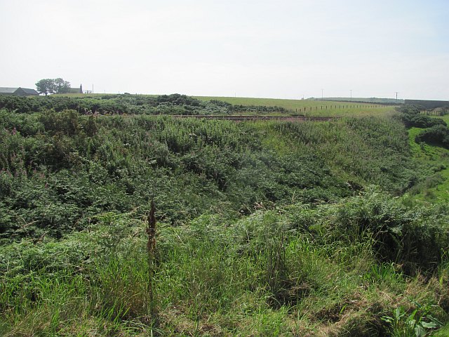
Situated on the eastern coast of Scotland, Blowup Nose offers breathtaking views of the surrounding landscape. The headland is characterized by towering cliffs, reaching heights of up to 50 meters, which provide a natural barrier against the crashing waves of the North Sea. These cliffs are composed of layers of sedimentary rocks, including sandstone and shale, which exhibit various colors and textures.
The headland is also home to a diverse range of flora and fauna. The coastal grasslands on Blowup Nose support a variety of plant species, including sea thrift, wild rosemary, and salt-tolerant grasses. Seabirds such as gannets, fulmars, and kittiwakes can be observed nesting on the cliffs, while seals can often be spotted swimming in the waters below.
Blowup Nose is a popular destination for both locals and tourists, offering opportunities for scenic walks along the coastal paths. The headland provides an excellent vantage point for birdwatching and photography, with its panoramic views of the North Sea and the rugged coastline.
Overall, Blowup Nose is a noteworthy coastal feature in Kincardineshire, boasting its distinctive nose-like shape, stunning cliffs, and diverse ecological habitats. It is a place of natural beauty and tranquility, attracting nature enthusiasts and those seeking a peaceful escape by the sea.
If you have any feedback on the listing, please let us know in the comments section below.
Blowup Nose Images
Images are sourced within 2km of 57.079427/-2.0893751 or Grid Reference NO9498. Thanks to Geograph Open Source API. All images are credited.

Blowup Nose is located at Grid Ref: NO9498 (Lat: 57.079427, Lng: -2.0893751)
Unitary Authority: Aberdeenshire
Police Authority: North East
What 3 Words
///relaxed.deployed.ownership. Near Cove, Aberdeen
Nearby Locations
Related Wikis
Hare Ness
Hare Ness is a headland landform along the North Sea coastline a few miles south of Aberdeen, Scotland. == History == Hare Ness is situated several kilometres...

Findon, Aberdeenshire
Findon (Gaelic: Fionndan, Scots: Finnan) is a fishing village eight miles south of Aberdeen, famous for originating the smoked haddock known as Finnan...
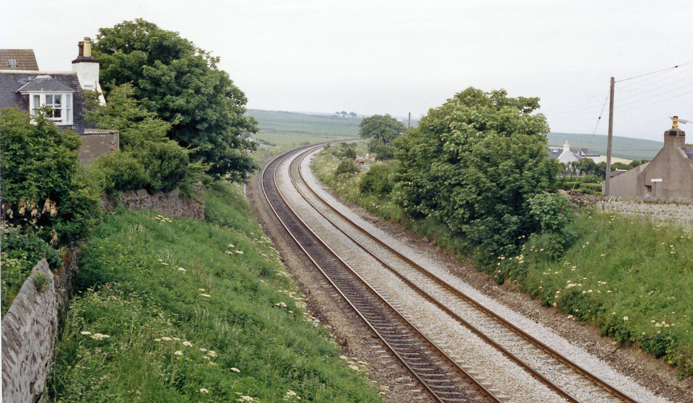
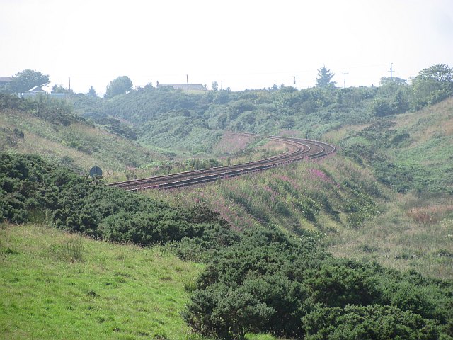
Cove Bay railway station
Cove Bay railway station served the suburb of Cove Bay, Aberdeen, Scotland from 1850 to 1956 on the Aberdeen Railway. == History == The station opened...

St Mary's Church, Cove Bay
St Mary the Virgin (Cove Bay) is an Episcopal Church in Cove Bay, Aberdeen, Scotland. It is part of the Diocese of Aberdeen and Orkney in the Scottish...

Cove Bay
Cove Bay, known locally as Cove, is a suburb on the south-east edge of Aberdeen, Scotland. Today Cove is home to around 8,000 people. It is a popular residential...

Portlethen Village
Portlethen Village is a settlement located to the east of Portlethen along the North Sea coast in Aberdeenshire, Scotland. The village is also known as...

Craigmaroinn
Craigmaroinn is a skerry in the North Sea near the Aberdeenshire coastline in Scotland. Craigmaroinn is situated midway between the coastal villages of...

Portlethen railway station
Portlethen railway station serves the town of Portlethen in Aberdeenshire, Scotland. It is sited 232 miles 59 chains (374.6 km) from Carlisle via Perth...
Nearby Amenities
Located within 500m of 57.079427,-2.0893751Have you been to Blowup Nose?
Leave your review of Blowup Nose below (or comments, questions and feedback).