Earnsheugh Bay

Bay in Kincardineshire

Scotland

Earnsheugh Bay

Island residential street adjacent to dual carriageway This odd street has no access other than directly to the dual carriageway. Thus the sound levels are quite high here, as front yards face the A90.
Island residential street adjacent to dual carriageway Credit: C Michael Hogan

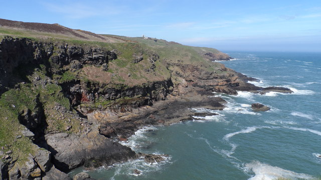
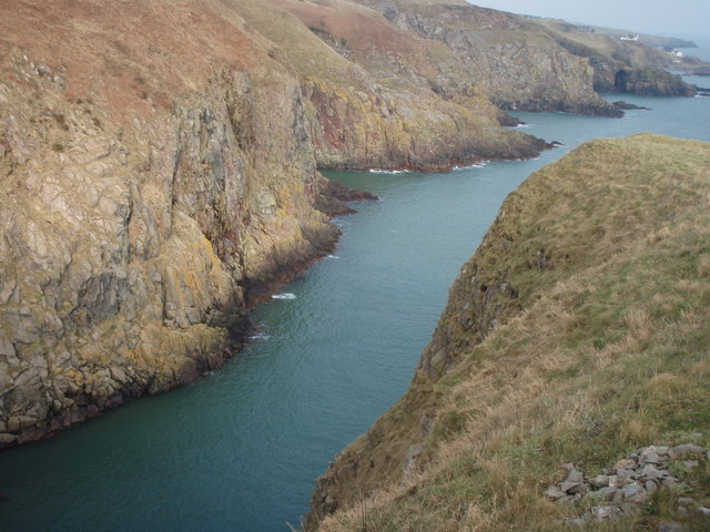
Earnsheugh Bay is a picturesque coastal area located in Kincardineshire, Scotland. Situated on the eastern coast of the country, it is known for its stunning natural beauty and diverse wildlife. The bay is nestled between the small village of Muchalls to the north and the town of Stonehaven to the south.

Earnsheugh Bay boasts a long stretch of sandy beach, offering visitors a tranquil and peaceful setting for relaxation. The beach is surrounded by magnificent cliffs, with rugged rock formations adding to its charm. The bay is also home to numerous caves and hidden coves, which provide excellent opportunities for exploration and discovery.

The area is popular among nature enthusiasts and birdwatchers due to its rich biodiversity. Various species of birds can be spotted here, including gulls, fulmars, and puffins. Seals and dolphins are also frequently seen swimming in the bay.

Earnsheugh Bay is steeped in history, with nearby Muchalls Castle serving as a reminder of its past. The castle, dating back to the 13th century, is a well-preserved medieval fortress and is open to the public for tours.

The bay offers a range of outdoor activities, including walking, fishing, and picnicking. Its idyllic surroundings make it a perfect spot for a family day out or a peaceful retreat from the bustling city life.

Overall, Earnsheugh Bay is a hidden gem on the Scottish coastline, offering visitors a unique blend of natural beauty, wildlife, and historical significance.

If you have any feedback on the listing, please let us know in the comments section below.

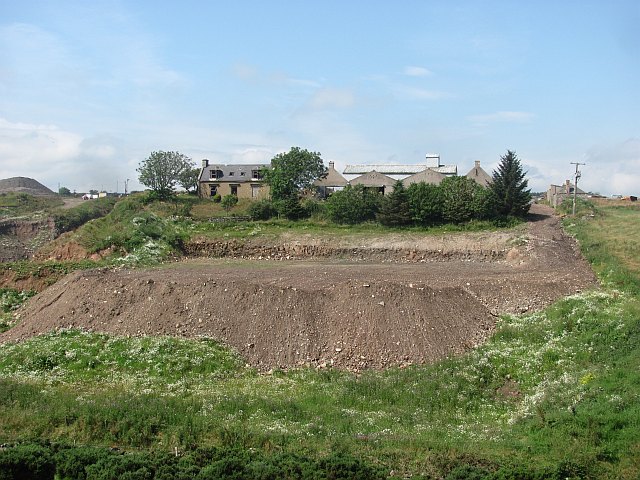
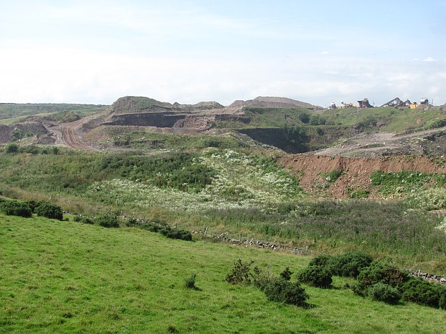
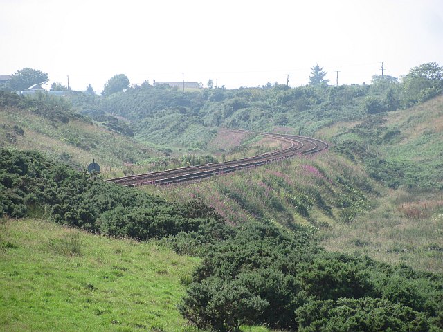
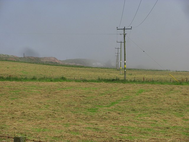
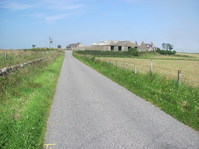
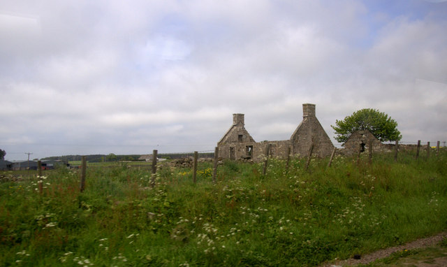
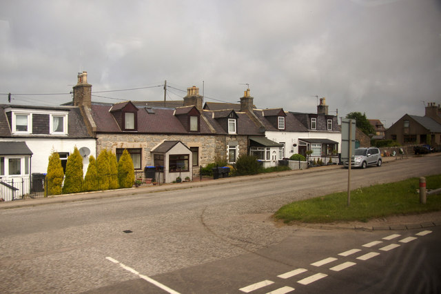
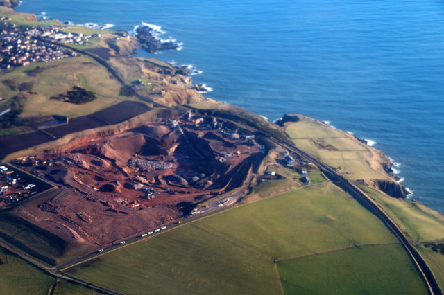
Earnsheugh Bay Images

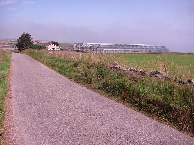
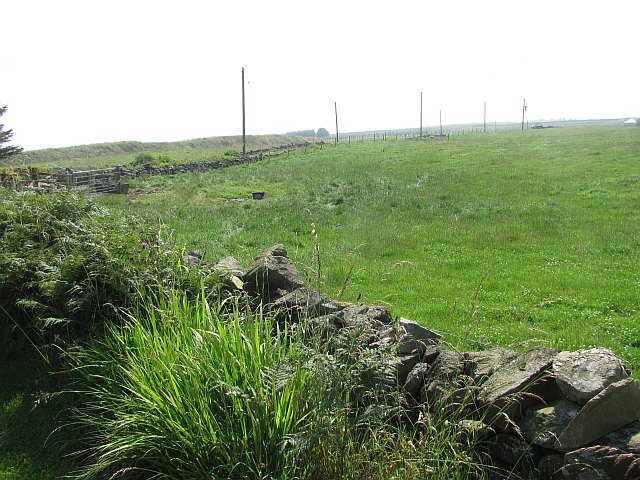
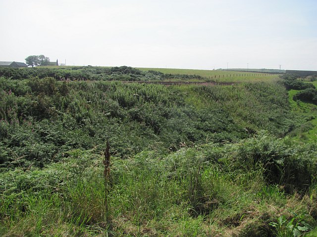
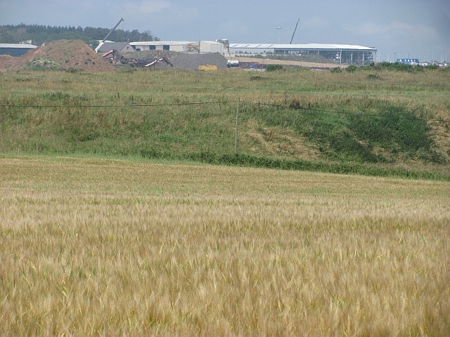
Images are sourced within 2km of 57.073961/-2.0949038 or Grid Reference NO9498. Thanks to Geograph Open Source API. All images are credited.

Island residential street adjacent to dual carriageway This odd street has no access other than directly to the dual carriageway. Thus the sound levels are quite high here, as front yards face the A90.
Island residential street adjacent to dual carriageway
This odd street has no access other than directly to the dual carriageway. Thus the sound levels are quite high here, as front yards face the A90.
Strange coastal industrial land use Photographer is standing near a large scale industrial gravel staging area; moreover, this type of land use so near the beautiful rugged coastline is a very strange council decision.
Strange coastal industrial land use
Photographer is standing near a large scale industrial gravel staging area; moreover, this type of land use so near the beautiful rugged coastline is a very strange council decision.
Cows grazing not far from the coastline This pasture is very moist and exhibits a high occurrence of Juncus species.
Cows grazing not far from the coastline
This pasture is very moist and exhibits a high occurrence of Juncus species.
Reemit Hill Grass fields outside Findon.  The dyke conceals a minor road.
Reemit Hill
Grass fields outside Findon. The dyke conceals a minor road.
Middleton The glass houses do not appear on maps or aerial photographs, and are probably new. The coast is not far away and the haar can be seen in the background. It was soon to return to the land.
Middleton
The glass houses do not appear on maps or aerial photographs, and are probably new. The coast is not far away and the haar can be seen in the background. It was soon to return to the land.
Field, North Mains of Findon A grass field inside a bend on a minor road. The haar is advancing from the North Sea and was soon to bring on a foggy afternoon.
Field, North Mains of Findon
A grass field inside a bend on a minor road. The haar is advancing from the North Sea and was soon to bring on a foggy afternoon.
Railway, Findon The Aberdeen to Dundee railway gives some exciting views of the coast on this stretch.
Railway, Findon
The Aberdeen to Dundee railway gives some exciting views of the coast on this stretch.
Barley, Hill of Findon Industrial activity on the other side of the railway.
Barley, Hill of Findon
Industrial activity on the other side of the railway.
Mains of Cairnrobin Derelict farm with a nearby quarry.
Mains of Cairnrobin
Derelict farm with a nearby quarry.
Gravel pit, Finedon Extensive quarry workings beside the railway.
Gravel pit, Finedon
Extensive quarry workings beside the railway.
Railway south of Aberdeen Approaching Portlethen.
Railway south of Aberdeen
Approaching Portlethen.
The haar returns After a couple of hours of sunshine, the sea mist returns to land.
The haar returns
After a couple of hours of sunshine, the sea mist returns to land.
Blackhills of Cairnrobin Minor road north of Portlethen.
Blackhills of Cairnrobin
Minor road north of Portlethen.
New junction at Findon, south of Aberdeen Part, I assume, of the controversial and long-planned Aberdeen bypass.
New junction at Findon, south of Aberdeen
Part, I assume, of the controversial and long-planned Aberdeen bypass.
Newpark, Marywell Ruin beside the A90.
Newpark, Marywell
Ruin beside the A90.
Hillside, Portlethen
Quarry at Blackhills, south of Aberdeen, from the air Taken from a plane approaching Aberdeen Airport.
Quarry at Blackhills, south of Aberdeen, from the air
Taken from a plane approaching Aberdeen Airport.
View northeast from Blowup Nose Looking towards Hareness
View northeast from Blowup Nose
Looking towards Hareness
Show me another place!

Earnsheugh Bay is located at Grid Ref: NO9498 (Lat: 57.073961, Lng: -2.0949038)

Unitary Authority: Aberdeenshire

Police Authority: North East

What 3 Words

///spends.rashers.tenure. Near Portlethen, Aberdeenshire

Related Wikis

Findon, Aberdeenshire

Findon (Gaelic: Fionndan, Scots: Finnan) is a fishing village eight miles south of Aberdeen, famous for originating the smoked haddock known as Finnan...

Hare Ness

Hare Ness is a headland landform along the North Sea coastline a few miles south of Aberdeen, Scotland. == History == Hare Ness is situated several kilometres...

Portlethen Village

Portlethen Village is a settlement located to the east of Portlethen along the North Sea coast in Aberdeenshire, Scotland. The village is also known as...

Craigmaroinn

Craigmaroinn is a skerry in the North Sea near the Aberdeenshire coastline in Scotland. Craigmaroinn is situated midway between the coastal villages of...

Nearby Amenities

Located within 500m of 57.073961,-2.0949038
Source: PGS
Lat/Long: 57.070158/-2.093217
Source: PGS
Lat/Long: 57.070412/-2.092975
Source: PGS
Lat/Long: 57.0708665/-2.0930725
Source: PGS
Lat/Long: 57.0710895/-2.0938236
Source: PGS
Lat/Long: 57.0713082/-2.0929599
Source: PGS
Lat/Long: 57.072462/-2.093161
Source: PGS
Lat/Long: 57.073233/-2.093612
Source: PGS
Lat/Long: 57.073491/-2.09384
Source: PGS
Lat/Long: 57.0733184/-2.0943399
Source: PGS
Lat/Long: 57.073468/-2.0957714
Source: PGS
Lat/Long: 57.073635/-2.096187
Source: PGS
Lat/Long: 57.0737561/-2.0961785
Source: PGS
Lat/Long: 57.0739807/-2.0962214
Source: PGS
Lat/Long: 57.0740659/-2.0960015
Source: PGS
Lat/Long: 57.0741353/-2.0958448
Source: PGS
Lat/Long: 57.0740846/-2.0955417
Source: PGS
Lat/Long: 57.0743969/-2.095311
Source: PGS
Lat/Long: 57.0744106/-2.0949404
Source: PGS
Lat/Long: 57.07455/-2.0945536
Source: PGS
Lat/Long: 57.0748364/-2.0944437
Source: PGS
Lat/Long: 57.0748325/-2.0939233
Source: PGS
Lat/Long: 57.075797/-2.09402
Source: PGS
Lat/Long: 57.075923/-2.093781
Source: PGS
Lat/Long: 57.0762049/-2.092719
Source: PGS
Lat/Long: 57.0764761/-2.0930585
Source: PGS
Lat/Long: 57.076814/-2.093055
Source: PGS
Lat/Long: 57.07707/-2.093048
Source: PGS
Lat/Long: 57.077583/-2.09327
Source: PGS
Lat/Long: 57.0774143/-2.0927724
Source: PGS
Lat/Long: 57.0771783/-2.0924878
Source: PGS
Lat/Long: 57.077831/-2.09209
Source: PGS
Lat/Long: 57.077957/-2.091851
Earnsheugh Bay
Natural: bay
Lat/Long: 57.0738568/-2.0948278
The data included in this document is from www.openstreetmap.org. The data is made available under ODbL.

Have you been to Earnsheugh Bay?

Leave your review of Earnsheugh Bay below (or comments, questions and feedback).