Fowls' Heugh
Bay in Kincardineshire
Scotland
Fowls' Heugh
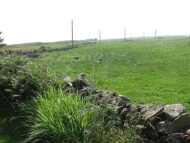
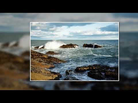
Fowls' Heugh, located in Kincardineshire, Scotland, is a picturesque bay situated on the northeast coast of the country. The bay is nestled between the towns of Stonehaven and Catterline, offering stunning views of the North Sea.
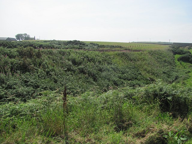
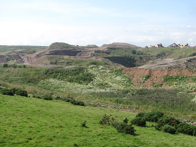
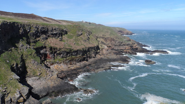
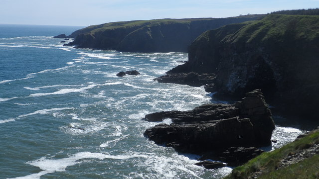
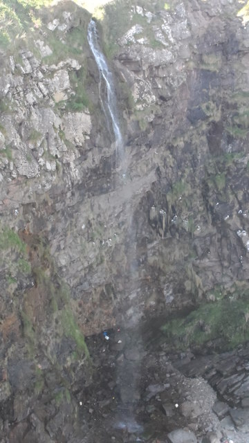
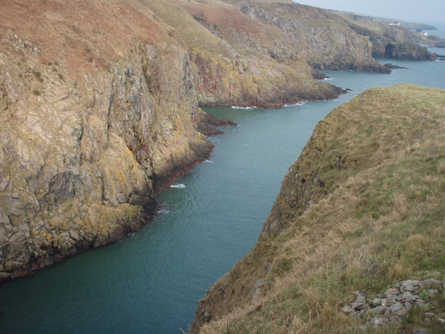
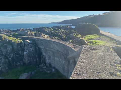
Fowls' Heugh is renowned for its rugged, rocky coastline and dramatic cliffs that reach heights of up to 200 feet (60 meters). These cliffs are a haven for a diverse range of seabirds, including cormorants, razorbills, guillemots, and kittiwakes, making it a popular spot for birdwatching enthusiasts. The area is also home to various marine life, such as seals, dolphins, and occasionally even whales.
The bay itself features a pebble beach, perfect for leisurely walks or picnics. During low tide, interesting rock formations are exposed, providing an opportunity for exploration and discovery. The bay's crystal-clear waters are ideal for swimming, although caution is advised due to strong currents.
A notable feature of Fowls' Heugh is Dunnottar Castle, perched on the cliffs overlooking the bay. This medieval fortress dates back to the 15th century and offers a fascinating glimpse into Scotland's rich history. Visitors can explore the castle ruins and enjoy panoramic views of the bay and surrounding countryside.
Overall, Fowls' Heugh in Kincardineshire is a breathtaking coastal destination that offers a unique blend of natural beauty, wildlife, and historical significance. Whether one is interested in birdwatching, exploring ancient castles, or simply enjoying the tranquility of the Scottish coastline, Fowls' Heugh is a must-visit location.
If you have any feedback on the listing, please let us know in the comments section below.
Fowls' Heugh Images
Images are sourced within 2km of 57.076774/-2.0926677 or Grid Reference NO9498. Thanks to Geograph Open Source API. All images are credited.

Fowls' Heugh is located at Grid Ref: NO9498 (Lat: 57.076774, Lng: -2.0926677)
Unitary Authority: Aberdeenshire
Police Authority: North East
What 3 Words
///thrashing.bill.influencing. Near Portlethen, Aberdeenshire
Nearby Locations
Related Wikis

Findon, Aberdeenshire
Findon (Gaelic: Fionndan, Scots: Finnan) is a fishing village eight miles south of Aberdeen, famous for originating the smoked haddock known as Finnan...
Hare Ness
Hare Ness is a headland landform along the North Sea coastline a few miles south of Aberdeen, Scotland. == History == Hare Ness is situated several kilometres...

Portlethen Village
Portlethen Village is a settlement located to the east of Portlethen along the North Sea coast in Aberdeenshire, Scotland. The village is also known as...

Craigmaroinn
Craigmaroinn is a skerry in the North Sea near the Aberdeenshire coastline in Scotland. Craigmaroinn is situated midway between the coastal villages of...

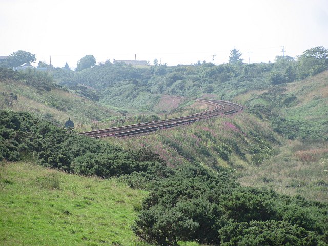
Portlethen railway station
Portlethen railway station serves the town of Portlethen in Aberdeenshire, Scotland. It is sited 232 miles 59 chains (374.6 km) from Carlisle via Perth...
Cove Bay railway station
Cove Bay railway station served the suburb of Cove Bay, Aberdeen, Scotland from 1850 to 1956 on the Aberdeen Railway. == History == The station opened...

St Mary's Church, Cove Bay
St Mary the Virgin (Cove Bay) is an Episcopal Church in Cove Bay, Aberdeen, Scotland. It is part of the Diocese of Aberdeen and Orkney in the Scottish...
Portlethen
Portlethen (; Scottish Gaelic: Port Leathain) is a town located approximately 7 miles south of Aberdeen, Scotland along the A92. The population according...
Related Videos


Ian Poole's Transport Travel Vlogs #83 - Portlethen
vlog #blog #Portlethen So it is time to go home but before we go home, we are going to get another batch of buses done and ...
Portlethen Village - Great Photography Locations
Part of my Great Photography Locations series, Portlethen is a beautiful little seafront village just a little bit south of Aberdeen in ...
Nearby Amenities
Located within 500m of 57.076774,-2.0926677Have you been to Fowls' Heugh?
Leave your review of Fowls' Heugh below (or comments, questions and feedback).