Auchenreat, Lower

Settlement in Banffshire

Scotland

Auchenreat, Lower

Spey Bay Golf Course On which there was more bird activity than golfers.
Spey Bay Golf Course Credit: Peter Barr

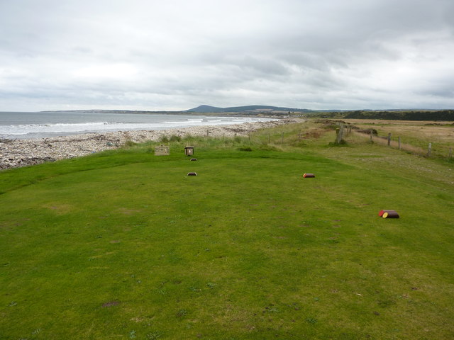
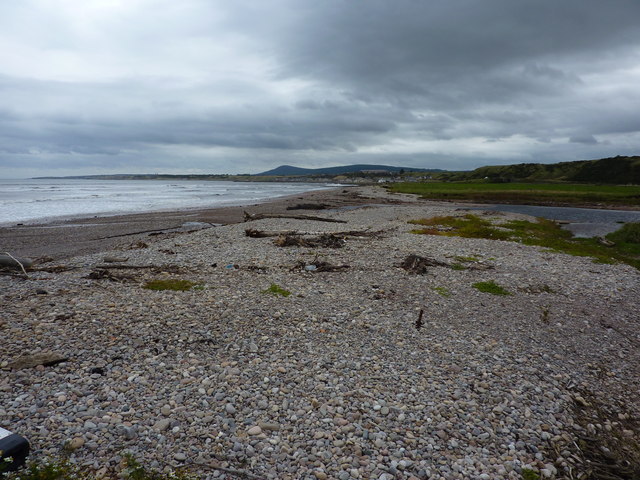
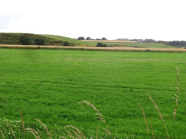
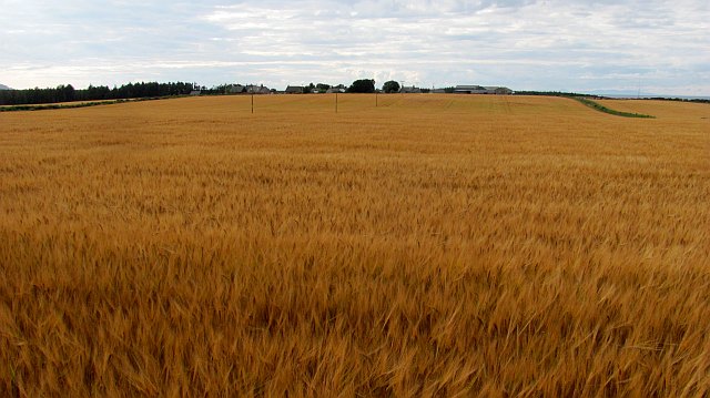
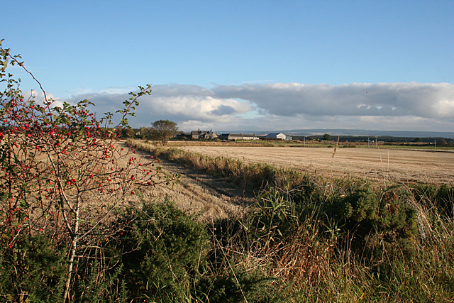
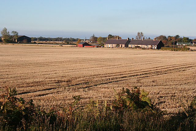
Auchenreat is a small rural village located in the Lower region of Banffshire, Scotland. Situated amidst picturesque landscapes, the village is nestled between rolling hills and a charming river, offering residents and visitors alike a serene and idyllic setting.

The village is home to a close-knit community of approximately 200 residents, who take pride in the preservation of their rich cultural heritage. Auchenreat's history can be traced back centuries, with evidence of ancient settlements and archaeological sites in the surrounding area. The village itself features a mix of traditional stone houses and more modern structures, blending old-world charm with contemporary living.

Amenities in Auchenreat include a small local shop that caters to the everyday needs of the community. The village also boasts a quaint village hall, which serves as a central hub for social gatherings, events, and community activities. Additionally, a primary school is conveniently located within a short distance, providing education for the young residents of Auchenreat.

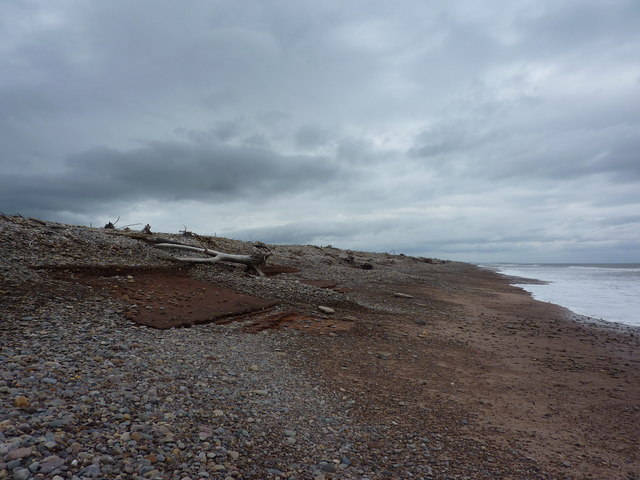
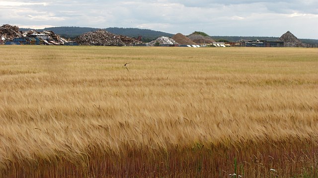
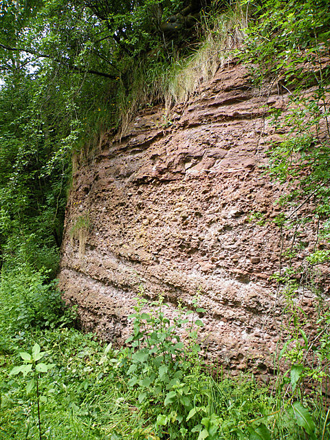
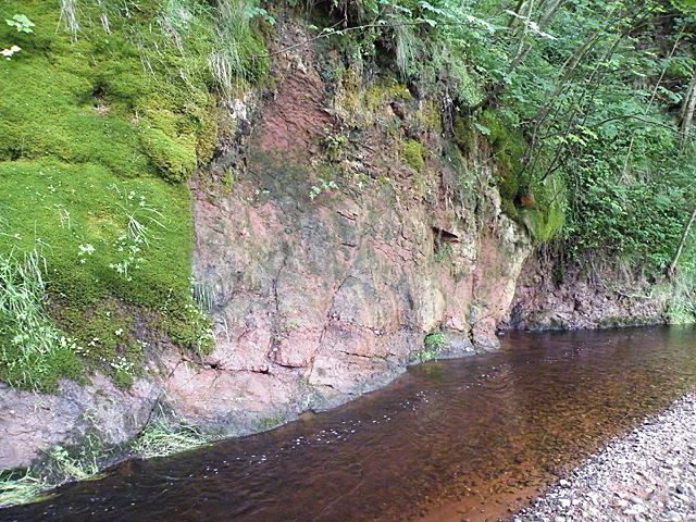
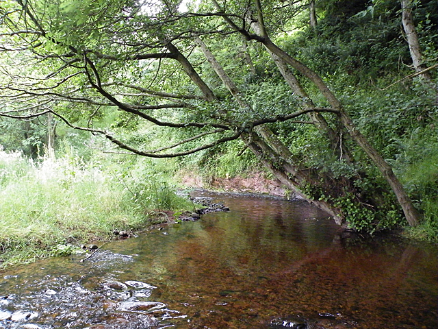
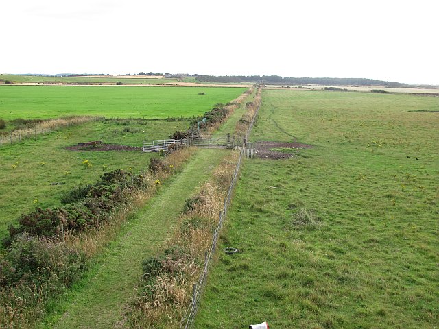
Nature enthusiasts and outdoor lovers will find plenty to explore in the surrounding area. Auchenreat is surrounded by scenic walking trails, offering stunning views of the lush green countryside and the river that meanders through the village. The nearby hills provide opportunities for hiking and birdwatching, making it an ideal destination for those seeking a peaceful retreat in nature.

Overall, Auchenreat is a charming and tranquil village, offering a close-knit community, beautiful natural surroundings, and a rich cultural heritage.

If you have any feedback on the listing, please let us know in the comments section below.

Auchenreat, Lower Images

Images are sourced within 2km of 57.652482/-3.0572725 or Grid Reference NJ3763. Thanks to Geograph Open Source API. All images are credited.

Spey Bay Golf Course On which there was more bird activity than golfers.
Spey Bay Golf Course
On which there was more bird activity than golfers.
Tannachy Sands Beach to the west of Portgordon, Moray Firth.
Tannachy Sands
Beach to the west of Portgordon, Moray Firth.
Shingle beach between Portgordon and Spey Bay Lots of drift wood and dead tree roots on this coast.
Shingle beach between Portgordon and Spey Bay
Lots of drift wood and dead tree roots on this coast.
Grassland, Tannachy A silage crop has earlier been taken from this field.
Grassland, Tannachy
A silage crop has earlier been taken from this field.
Barley, Auchenreath Ripening barley on sandy soils near the mouth of the Spey.
Barley, Auchenreath
Ripening barley on sandy soils near the mouth of the Spey.
Dallachy Airfield The site of RAF Dallachy is now farmed along with a waste disposal site on the hard standing of one of the runways.
Dallachy Airfield
The site of RAF Dallachy is now farmed along with a waste disposal site on the hard standing of one of the runways.
Recycling centre, Dallachy The tip is situated in a gravel pit on the perimeter of the old airfield.
Recycling centre, Dallachy
The tip is situated in a gravel pit on the perimeter of the old airfield.
A memorial to the fallen of Dallochy airfield Dallachy field served as a launching point for counter shipping measures in the North sea during World War 2.<a href="https://www.geograph.org.uk/photo/2888950">NJ3562 : Lessons from the past?</a>
A memorial to the fallen of Dallochy airfield
Dallachy field served as a launching point for counter shipping measures in the North sea during World War 2.NJ3562 : Lessons from the past?
Lessons from the past? The plaque is found on the memorial in Bogmoor. <a href="https://www.geograph.org.uk/photo/2888939">NJ3562 : A memorial to the fallen of Dallochy airfield</a>
Lessons from the past?
The plaque is found on the memorial in Bogmoor. NJ3562 : A memorial to the fallen of Dallochy airfield
Old Red Sandstone This cliff face is of Old Red Sandstone, laid down some 350 million years ago at the margin of Lake Orcadie, which occupied an area roughly similar to that of the Moray Firth. Outcrops along the Burn of Tynet have yielded many fossils of Devonian fish, and has consequently been designated a Site of Special Scientific Interest. The fish-bearing strata are not in this particular cliff, which is lower down the succession.
Old Red Sandstone
This cliff face is of Old Red Sandstone, laid down some 350 million years ago at the margin of Lake Orcadie, which occupied an area roughly similar to that of the Moray Firth. Outcrops along the Burn of Tynet have yielded many fossils of Devonian fish, and has consequently been designated a Site of Special Scientific Interest. The fish-bearing strata are not in this particular cliff, which is lower down the succession.
Burn of Tynet The burn of Tynet flows in a deep shady wooded glen which it has cut for itself through the relatively soft Old Red Sandstone. You can see that the sandstone dips gently away from the photographer location. Some beds in this sandstone, not visible here, have yielded numerous fossils of Devonian fish.
Burn of Tynet
The burn of Tynet flows in a deep shady wooded glen which it has cut for itself through the relatively soft Old Red Sandstone. You can see that the sandstone dips gently away from the photographer location. Some beds in this sandstone, not visible here, have yielded numerous fossils of Devonian fish.
Tynet Burn The burn meanders along the base of the low cliff. It is very overgrown with vegetation and very shady. This alder tree has grown out across the water towards the light rather than up into the shade. Notice how clear the peat-stained water is.
Tynet Burn
The burn meanders along the base of the low cliff. It is very overgrown with vegetation and very shady. This alder tree has grown out across the water towards the light rather than up into the shade. Notice how clear the peat-stained water is.
Course of the Pottie Burn The Pottie Burn marks the curving boundary of the fields here, though the burn itself is hidden among the vegetation. In the background is the village of Nether Dallachy, in a neighbouring grid square.
Course of the Pottie Burn
The Pottie Burn marks the curving boundary of the fields here, though the burn itself is hidden among the vegetation. In the background is the village of Nether Dallachy, in a neighbouring grid square.
Dallachy RAF Memorial The memorial commemorates the aircrew who trained and served at RAF Dallachy during the Second World War. Construction began in 1942, and at first the airfield was used to train aircrew on multi-engined aircraft. From September 1944 Dallachy was the base for Beaufighter squadrons engaged in attacking enemy shipping in the North Sea and on the west coast of Norway. [<a href="https://www.geograph.org.uk/photo/3191649">NJ3563 : RAF Dallachy Strike Wing</a> is the main panel on the monument and <a href="https://www.geograph.org.uk/photo/3191650">NJ3563 : RAF 14 (Pilot) Advanced Flying Unit</a> is on the plinth to the left of the main panel. The other plinth carries an information board giving a brief history of RAF Dallachy.
Dallachy RAF Memorial
The memorial commemorates the aircrew who trained and served at RAF Dallachy during the Second World War. Construction began in 1942, and at first the airfield was used to train aircrew on multi-engined aircraft. From September 1944 Dallachy was the base for Beaufighter squadrons engaged in attacking enemy shipping in the North Sea and on the west coast of Norway. [NJ3563 : RAF Dallachy Strike Wing is the main panel on the monument and NJ3563 : RAF 14 (Pilot) Advanced Flying Unit is on the plinth to the left of the main panel. The other plinth carries an information board giving a brief history of RAF Dallachy.
RAF Dallachy Strike Wing This is the main panel on [<a href="https://www.geograph.org.uk/photo/3191645">NJ3563 : Dallachy RAF Memorial</a>.
RAF Dallachy Strike Wing
This is the main panel on [NJ3563 : Dallachy RAF Memorial.
RAF 14 (Pilot) Advanced Flying Unit This is the panel on the plinth on the left of [<a href="https://www.geograph.org.uk/photo/3191645">NJ3563 : Dallachy RAF Memorial</a>.
RAF 14 (Pilot) Advanced Flying Unit
This is the panel on the plinth on the left of [NJ3563 : Dallachy RAF Memorial.
Byres Cottages A row of farm cottages beside the road to Byres Farm.
Byres Cottages
A row of farm cottages beside the road to Byres Farm.
Moray Coast Railway The trackbed is now used by the Speyside Way.
Moray Coast Railway
The trackbed is now used by the Speyside Way.
Show me another place!

Auchenreat, Lower is located at Grid Ref: NJ3763 (Lat: 57.652482, Lng: -3.0572725)

Unitary Authority: Moray

Police Authority: North East

What 3 Words

///crumples.swanky.apparatus. Near Fochabers, Moray

Related Wikis

Lower Auchenreath

Lower Auchenreath is a tiny rural settlement situated in the North East Coast of Scotland. It is home to a mixed arable/animal farm and is only a mile...

Upper Dallachy

Upper Dallachy is a small village situated in Moray, Scotland, approximately 2 miles south-east of Spey Bay. The village is located next to the now-abandoned...

Spey Bay railway station

Spey Bay railway station was a railway station in Spey Bay, Moray. The railway station was opened by the Great North of Scotland Railway (GNoSR) on its...

St Ninian's Church, Tynet

St Ninian's Church, Tynet is a historic Roman Catholic clandestine church located at Tynet about 4 miles to the west of Buckie, Scotland in the Enzie region...

Gordon Tomb

The Gordon Tomb is a classical colonnaded mausoleum in the parish of Bellie in Moray, Scotland. It houses the sarcophagi of the second wife of the 4th...

Portgordon railway station

Portgordon railway station was a railway station in Portgordon in Moray, Scotland. The railway station was opened by the Great North of Scotland Railway...

Old Church of St John

The Old Church of St John is a ruined church, incorporating a finely carved sacrament house and situated within a historic burial ground in Kirktown of...

Spey Bay

Spey Bay (Scottish Gaelic: Inbhir Spè) is a small settlement in Moray, Scotland. It is situated at the eastern side of the mouth of the River Spey on the...

Nearby Amenities

Located within 500m of 57.652482,-3.0572725
Power: pole
Lat/Long: 57.6522318/-3.0492022
Power: pole
Lat/Long: 57.6514905/-3.0496326
Power: pole
Lat/Long: 57.6507474/-3.0500563
Power: pole
Lat/Long: 57.6501213/-3.0508533
Power: pole
Lat/Long: 57.6494717/-3.0516603
Power: pole
Lat/Long: 57.648842/-3.0524471
Power: pole
Lat/Long: 57.6569804/-3.0572085
Power: pole
Lat/Long: 57.6520883/-3.063035
Power: pole
Lat/Long: 57.6516646/-3.0637227
Power: pole
Lat/Long: 57.6510933/-3.0646407
Dryburn
Place: isolated_dwelling
Lat/Long: 57.6531416/-3.0506119
Cowiemuir
Place: isolated_dwelling
Lat/Long: 57.6523953/-3.0630788
The data included in this document is from www.openstreetmap.org. The data is made available under ODbL.

Have you been to Auchenreat, Lower?

Leave your review of Auchenreat, Lower below (or comments, questions and feedback).