Lower Assendon

Settlement in Oxfordshire South Oxfordshire

England

Lower Assendon

Pasture, Assendon Sheep grazing to the east of the footpath in Henley Park.
Pasture, Assendon Credit: Andrew Smith

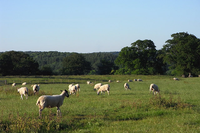
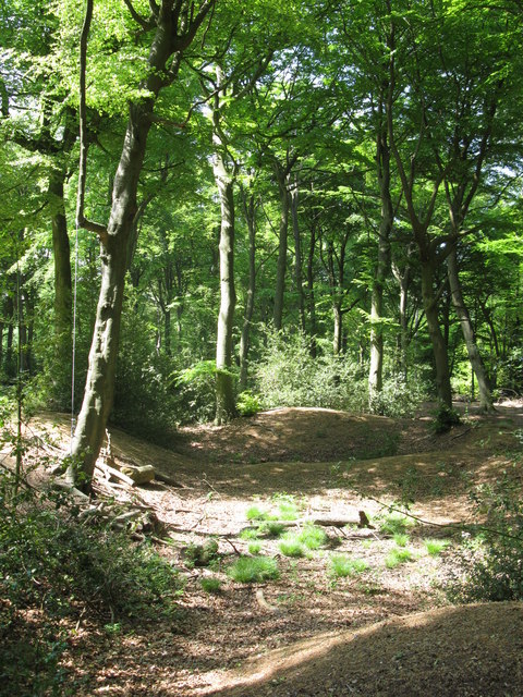
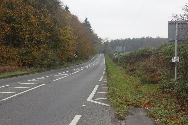
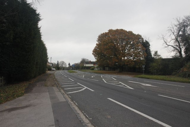
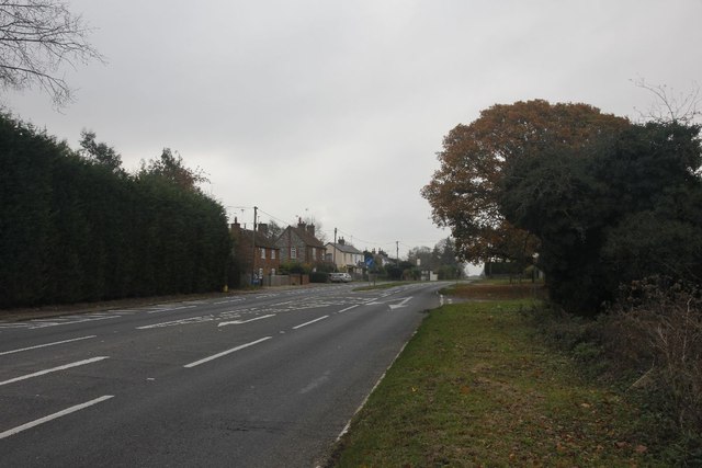
Lower Assendon is a small village located in the county of Oxfordshire, England. Situated approximately 6 miles north of Henley-on-Thames, the village is nestled in the Chiltern Hills, offering stunning views of the surrounding countryside.

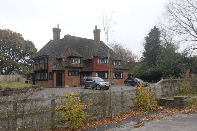
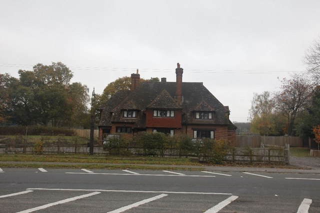
The village is characterized by its charming rural setting, with a mix of traditional stone cottages and modern houses. It has a population of around 200 residents, creating a close-knit community atmosphere. Lower Assendon is primarily a residential area, with few amenities within the village itself. However, the nearby town of Henley-on-Thames provides a range of services, including shops, supermarkets, and schools.

The village benefits from its proximity to the Chiltern Hills Area of Outstanding Natural Beauty, making it an ideal location for outdoor enthusiasts. There are numerous walking and cycling routes in the vicinity, allowing residents to explore the picturesque countryside.

Lower Assendon is also conveniently located for commuting, with good transport links to nearby towns and cities. The M40 motorway is easily accessible, providing connections to London and Birmingham. Additionally, Henley-on-Thames railway station offers regular services to London Paddington, making it a popular choice for commuters.

Overall, Lower Assendon offers a peaceful and idyllic lifestyle, surrounded by beautiful countryside while still providing convenient access to nearby amenities and transport links.

If you have any feedback on the listing, please let us know in the comments section below.

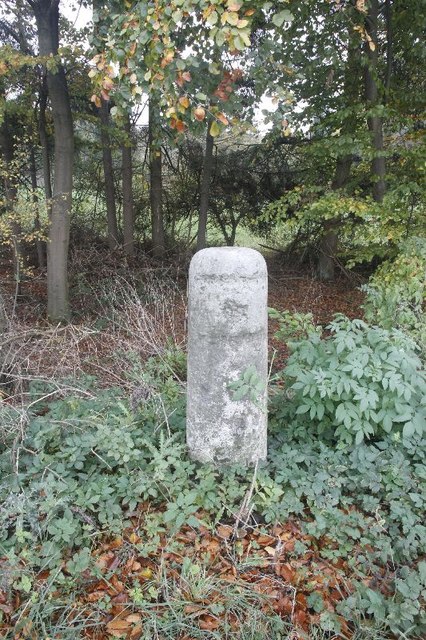
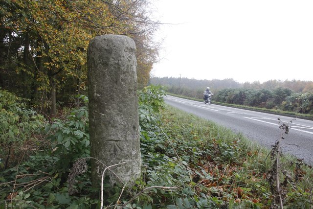
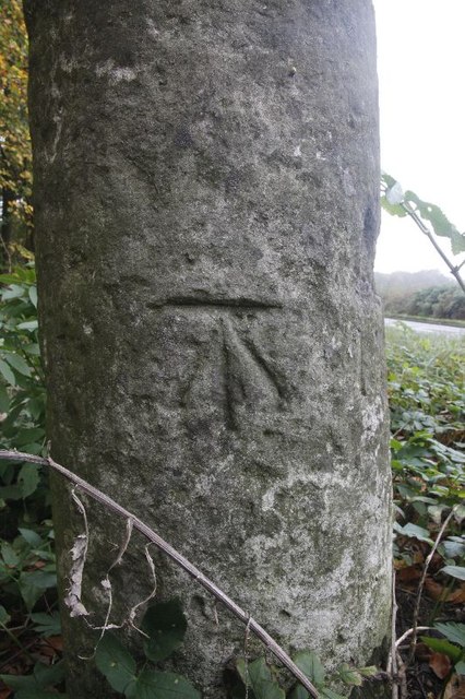
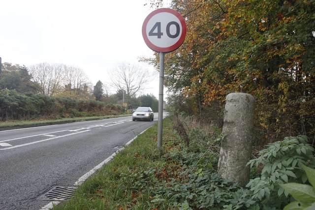
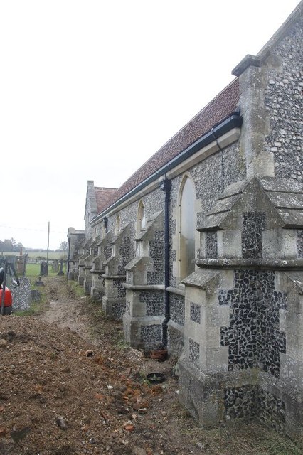
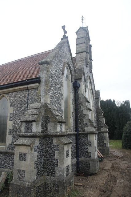
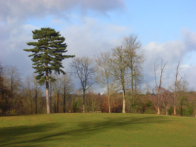
Lower Assendon Images

Images are sourced within 2km of 51.556981/-0.930959 or Grid Reference SU7484. Thanks to Geograph Open Source API. All images are credited.

Pasture, Assendon Sheep grazing to the east of the footpath in Henley Park.
Pasture, Assendon
Sheep grazing to the east of the footpath in Henley Park.
Hollow at Famous Copse One of several old clay and flint pits in this area. This one has a rope swing.
Hollow at Famous Copse
One of several old clay and flint pits in this area. This one has a rope swing.
Sergeant H W Luker Of the Royal Australian Air force who died 18th June 1943 aged 24. Taken in Fairmile Cemetery Henley. <span class="nowrap"><a title="http://www.lostbombers.co.uk/bomber.php?id=1256" rel="nofollow ugc noopener" href="http://www.lostbombers.co.uk/bomber.php?id=1256">Link</a><img style="margin-left:2px;" alt="External link" title="External link - shift click to open in new window" src="https://s1.geograph.org.uk/img/external.png" width="10" height="10"/></span>
Sergeant H W Luker
Of the Royal Australian Air force who died 18th June 1943 aged 24. Taken in Fairmile Cemetery Henley. LinkExternal link
Trooper G E Mitchell The Headstone behind is inscribed Private A E Ball, the graves are in Fairmile Cemetery Henley.
Trooper G E Mitchell
The Headstone behind is inscribed Private A E Ball, the graves are in Fairmile Cemetery Henley.
Another milestone Looking along the A4130 at Bix in the Nettlebed direction. I'm here for another milestone which is just over beside the National speed limits apply sign to the left.
Another milestone
Looking along the A4130 at Bix in the Nettlebed direction. I'm here for another milestone which is just over beside the National speed limits apply sign to the left.
The Fox at Bix This used to be the Fox Public house; though I never have been in the place it always looked popular when I went past.  It shut many years ago as can be seen in the link. <a href="https://www.geograph.org.uk/photo/36346">SU7285 : The Fox at Bix</a>
The Fox at Bix
This used to be the Fox Public house; though I never have been in the place it always looked popular when I went past. It shut many years ago as can be seen in the link. SU7285 : The Fox at Bix
Empty Pub Sign Always sad to see an empty pub sign, this used to hold the Fox at Bix but alas it will no more.
Empty Pub Sign
Always sad to see an empty pub sign, this used to hold the Fox at Bix but alas it will no more.
Milestone by the limit Another of the London Road Milestones which is just outside Bix village near Henley.  This one is another that was defaced of its mileage and towns during the Second World War.  It would have had Oxford 20, Abingdon 18, London 38, Henley 3 on it.
Milestone by the limit
Another of the London Road Milestones which is just outside Bix village near Henley. This one is another that was defaced of its mileage and towns during the Second World War. It would have had Oxford 20, Abingdon 18, London 38, Henley 3 on it.
Milestone at Bix The milestone at Bix near Henley which would have had Oxford 20, Abingdon 18, London 38, Henley 3 carved in it but was defaced during the Second World War.
Milestone at Bix
The milestone at Bix near Henley which would have had Oxford 20, Abingdon 18, London 38, Henley 3 carved in it but was defaced during the Second World War.
Motorbiking View of the Bix milestone looking in the Nettlebed direction with a motorbike making its way along the A4130.  You can see a benchmark on the base.
Motorbiking
View of the Bix milestone looking in the Nettlebed direction with a motorbike making its way along the A4130. You can see a benchmark on the base.
Close up of the Bix Milestone Closeup of the Bix benchmark on the milestone. <a href="https://www.geograph.org.uk/photo/2687326">SU7285 : Motorbiking</a>
Close up of the Bix Milestone
Closeup of the Bix benchmark on the milestone. SU7285 : Motorbiking
Looking towards Bix View from the milestone at Bix towards the village.
Looking towards Bix
View from the milestone at Bix towards the village.
Junction on the end View across the A4130 towards a road junction just on the end of the dual carriageway up Bix Hill.
Junction on the end
View across the A4130 towards a road junction just on the end of the dual carriageway up Bix Hill.
Another view of the Fox Another view of the Fox public house which I think closed back in the 1990's.
Another view of the Fox
Another view of the Fox public house which I think closed back in the 1990's.
End of the carriageway View towards the end of the dual carriageway on Bix Hill
End of the carriageway
View towards the end of the dual carriageway on Bix Hill
St James View of St James at Bix, which is a new church, as the old one is a ruin near Bix Bottom.
St James
View of St James at Bix, which is a new church, as the old one is a ruin near Bix Bottom.
North side of St James View of the north side of St James in Bix which at the moment looks to be having some work done.
North side of St James
View of the north side of St James in Bix which at the moment looks to be having some work done.
The west end The west end of St James at Bix.
The west end
The west end of St James at Bix.
Show me another place!

Lower Assendon is located at Grid Ref: SU7484 (Lat: 51.556981, Lng: -0.930959)

Administrative County: Oxfordshire

District: South Oxfordshire

Police Authority: Thames Valley

What 3 Words

///pythons.digital.commuted. Near Remenham, Berkshire

Related Wikis

Lower Assendon

Lower Assendon is a village in the Assendon valley in the Chiltern Hills, about 1.5 miles (2.4 km) northwest of Henley-on-Thames in South Oxfordshire...

Bix and Assendon

Bix and Assendon, formerly just Bix is a mainly rural civil parish in the high Chilterns just north of Henley-on-Thames in South Oxfordshire, in the county...

Lambridge Wood

Lambridge Wood is a 73.8-hectare (182-acre) biological Site of Special Scientific Interest north-west of Henley-on-Thames in Oxfordshire. It is in the...

Middle Assendon

Middle Assendon is a village in the Stonor valley in the Chiltern Hills. It is about 2 miles (3.2 km) northwest of Henley-on-Thames in South Oxfordshire...

Henley Park

Henley Park is a country house and landscape garden in Bix and Assendon civil parish in the Chiltern Hills of South Oxfordshire, England. The house is...

Bix, Oxfordshire

Bix is a village in the civil parish of Bix and Assendon in South Oxfordshire, about 2.5 miles (4 km) northwest of Henley-on-Thames. The village is about...

Badgemore

Badgemore is the site of an ancient manor situated West of Henley-on-Thames in Oxfordshire. == History == William the Conqueror gave Henry de Ferrers a...
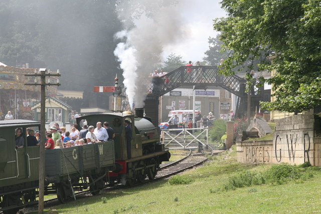
Fawley Hill Railway

Fawley Hill Railway is a privately owned heritage railway on the Fawley Hill estate of the late Sir William McAlpine at Fawley in Buckinghamshire, England...

Nearby Amenities

Located within 500m of 51.556981,-0.930959
Lower Assendon
Place: hamlet
Source Name: wikipedia; OS_OpenData_StreetView
Wikidata: Q6693304
Wikipedia: en:Lower Assendon
Lat/Long: 51.5564566/-0.9272833
Golden Ball PH
Fixme: What is this meant to be?
Naptan AtcoCode: 340000494GB
Naptan Bearing: NW
Naptan BusStopType: CUS
Naptan CommonName: Golden Ball PH
Naptan Indicator: Outside
Naptan Landmark: Golden Ball PH
Naptan NaptanCode: oxfapjta
Naptan Street: Stonor Road B480
Naptan Verified: no
Source: naptan_import
Lat/Long: 51.5570084/-0.9283707
Golden Ball PH
Fixme: What is this meant to be?
Naptan AtcoCode: 340000494OGB
Naptan Bearing: SE
Naptan BusStopType: CUS
Naptan CommonName: Golden Ball PH
Naptan Indicator: Opposite
Naptan Landmark: Golden Ball PH
Naptan NaptanCode: oxfgjwpw
Naptan Street: Stonor Road B480
Naptan Verified: no
Source: naptan_import
Lat/Long: 51.5569908/-0.9284975
Barrier: kissing_gate
Foot: yes
Lat/Long: 51.5533697/-0.9344222
Barrier: kissing_gate
Foot: yes
Lat/Long: 51.5540779/-0.9336682
Barrier: kissing_gate
Foot: yes
Lat/Long: 51.5544935/-0.9330416
Direction: 215
Generator Method: photovoltaic
Generator Output Electricity: yes
Generator Solar Modules: 6
Generator Source: solar
Generator Type: solar_photovoltaic_panel
Location: roof
Power: generator
Lat/Long: 51.5573384/-0.9341032
Direction: 215
Generator Method: photovoltaic
Generator Output Electricity: yes
Generator Solar Modules: 6
Generator Source: solar
Generator Type: solar_photovoltaic_panel
Location: roof
Power: generator
Lat/Long: 51.5573143/-0.9340284
The data included in this document is from www.openstreetmap.org. The data is made available under ODbL.

Have you been to Lower Assendon?

Leave your review of Lower Assendon below (or comments, questions and feedback).