Dryburn
Settlement in Banffshire
Scotland
Dryburn

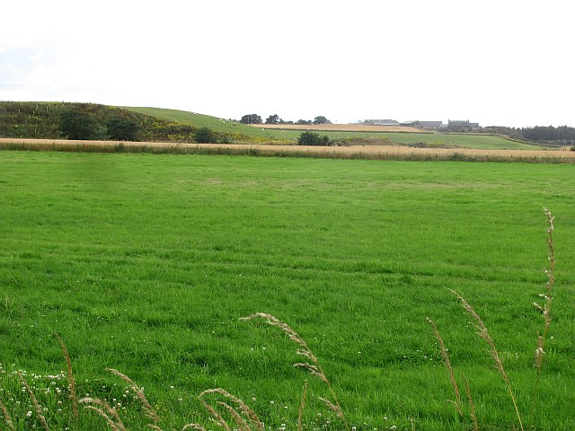
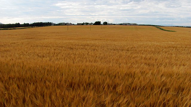
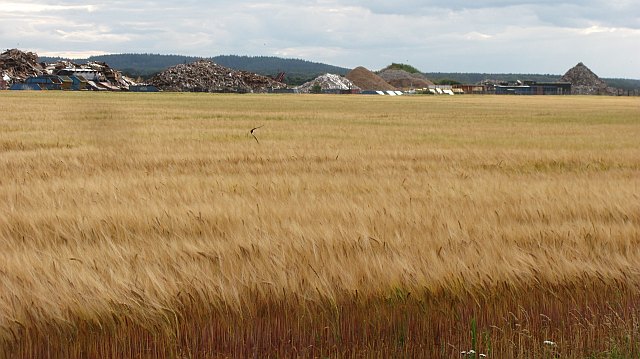
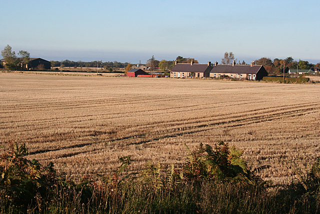
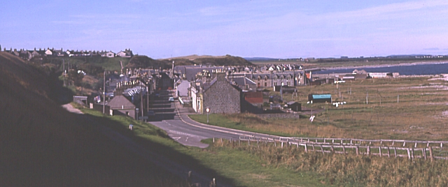
Dryburn is a small village located in the historic county of Banffshire, situated in the northeast of Scotland. Nestled amidst picturesque surroundings, Dryburn is surrounded by rolling hills and lush green meadows. The village is located approximately 5 miles southwest of the town of Banff.
With a population of around 150 residents, Dryburn offers a tranquil and close-knit community. The village primarily consists of traditional stone-built houses, giving it a charming and timeless appearance. The local economy is mainly centered around agriculture and farming, with many residents involved in the cultivation of crops and rearing livestock.
Despite its small size, Dryburn boasts a strong sense of community spirit. The village has a local community center that serves as a hub for various social activities, including meetings, events, and gatherings. The center also offers recreational facilities such as a playground and sports field.
In terms of amenities, Dryburn has a small village shop that caters to the daily needs of its residents. For more extensive shopping and services, residents can easily access the nearby town of Banff, which offers a wider range of facilities including supermarkets, schools, healthcare services, and recreational activities.
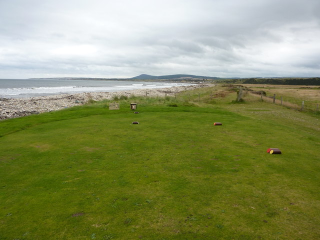
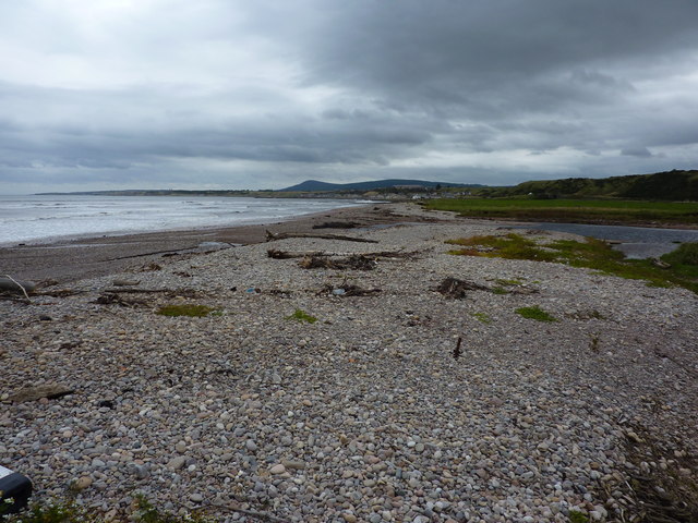
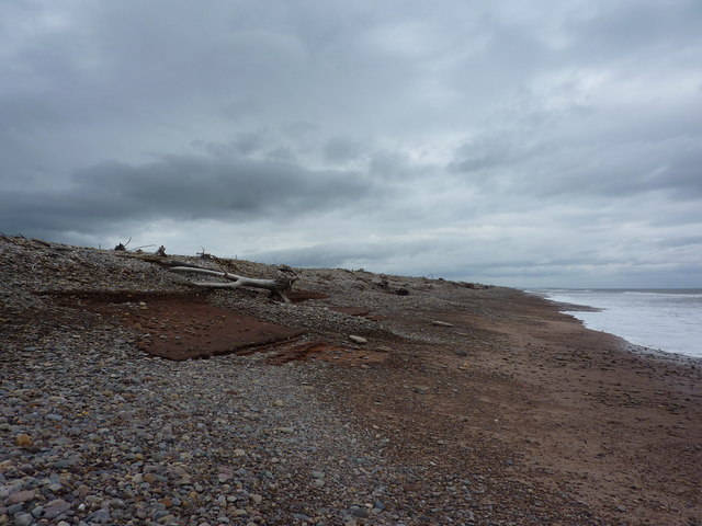
Nature enthusiasts will find plenty to explore in the surrounding area of Dryburn. The village is located near the picturesque coastline, providing opportunities for coastal walks and stunning views. Additionally, the nearby Cairngorms National Park offers breathtaking landscapes and outdoor activities such as hiking, cycling, and wildlife spotting.
In summary, Dryburn is a peaceful village in Banffshire, Scotland, offering a tight-knit community, scenic surroundings, and easy access to essential amenities and outdoor activities.
If you have any feedback on the listing, please let us know in the comments section below.
Dryburn Images
Images are sourced within 2km of 57.653137/-3.0509072 or Grid Reference NJ3763. Thanks to Geograph Open Source API. All images are credited.

Dryburn is located at Grid Ref: NJ3763 (Lat: 57.653137, Lng: -3.0509072)
Unitary Authority: Moray
Police Authority: North East
What 3 Words
///elbowed.slipping.claw. Near Fochabers, Moray
Nearby Locations
Related Wikis

Lower Auchenreath
Lower Auchenreath is a tiny rural settlement situated in the North East Coast of Scotland. It is home to a mixed arable/animal farm and is only a mile...
Upper Dallachy
Upper Dallachy is a small village situated in Moray, Scotland, approximately 2 miles south-east of Spey Bay. The village is located next to the now-abandoned...

St Ninian's Church, Tynet
St Ninian's Church, Tynet is a historic Roman Catholic clandestine church located at Tynet about 4 miles to the west of Buckie, Scotland in the Enzie region...

Spey Bay railway station
Spey Bay railway station was a railway station in Spey Bay, Moray. The railway station was opened by the Great North of Scotland Railway (GNoSR) on its...

Portgordon railway station
Portgordon railway station was a railway station in Portgordon in Moray, Scotland. The railway station was opened by the Great North of Scotland Railway...
Portgordon
Portgordon, or sometimes Port Gordon, (Scottish Gaelic: Port Ghòrdain) is a village in Moray, Scotland, 2 km (1+1⁄4 mi) south-west of Buckie. It was established...

Gordon Tomb
The Gordon Tomb is a classical colonnaded mausoleum in the parish of Bellie in Moray, Scotland. It houses the sarcophagi of the second wife of the 4th...

Old Church of St John
The Old Church of St John is a ruined church, incorporating a finely carved sacrament house and situated within a historic burial ground in Kirktown of...
Nearby Amenities
Located within 500m of 57.653137,-3.0509072Have you been to Dryburn?
Leave your review of Dryburn below (or comments, questions and feedback).