South Skerry
Coastal Feature, Headland, Point in Orkney
Scotland
South Skerry
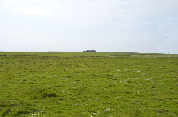
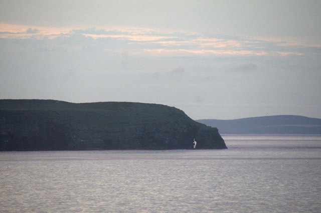
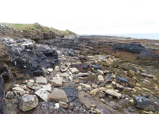
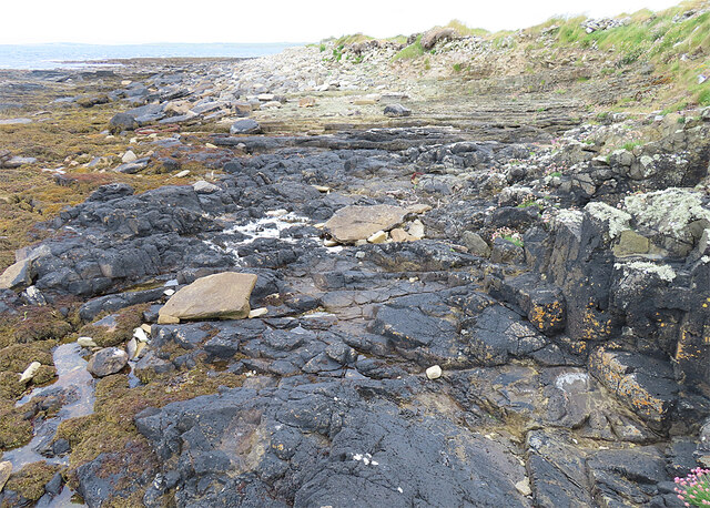
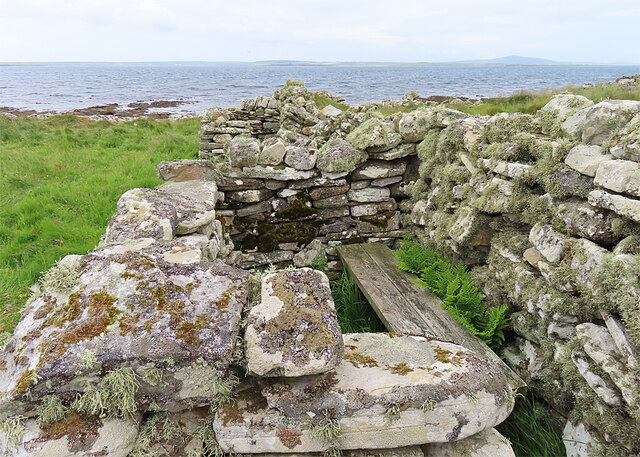
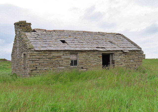
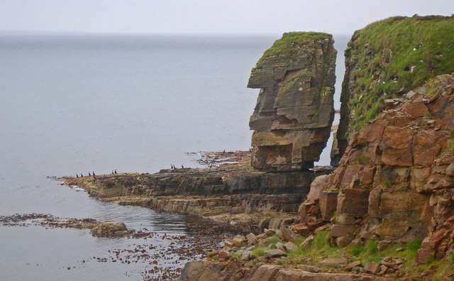
South Skerry is a coastal feature located in the Orkney archipelago, in northern Scotland. It is a prominent headland or point that stretches out into the North Atlantic Ocean. Situated in the southwestern part of Orkney Mainland, South Skerry is characterized by its rugged and rocky landscape, which is typical of the region.
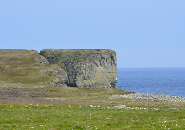
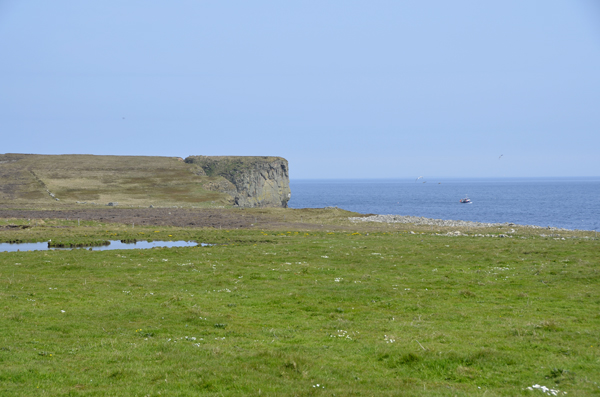
The headland is known for its stunning natural beauty, with steep cliffs that provide breathtaking views of the surrounding ocean. The cliffs are composed of sedimentary rocks, such as sandstone and shale, which have been shaped by the relentless action of the waves over thousands of years.
South Skerry is also renowned for its rich marine ecosystem. The surrounding waters are teeming with a diverse range of marine life, including various species of fish, seabirds, and marine mammals. The headland serves as an important nesting site for seabirds, such as puffins, guillemots, and razorbills. It is also a popular spot for birdwatching enthusiasts, who flock to the area to observe the abundant birdlife.
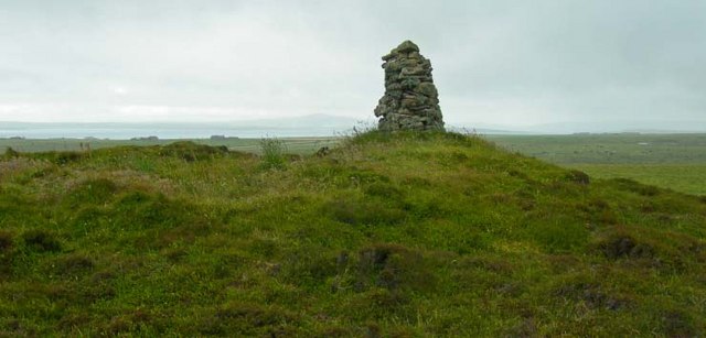
The headland is accessible to visitors, who can explore the area on foot along the coastal path that winds its way around South Skerry. The path offers stunning vistas of the surrounding coastline and provides opportunities for nature photography and hiking. However, caution is advised when venturing close to the cliff edges, as they can be unstable and dangerous.
Overall, South Skerry is a captivating coastal feature in Orkney, offering visitors a glimpse into the region's rugged natural beauty and providing a haven for diverse wildlife.
If you have any feedback on the listing, please let us know in the comments section below.
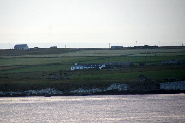
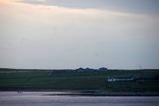
South Skerry Images
Images are sourced within 2km of 59.018892/-2.8240063 or Grid Reference HY5214. Thanks to Geograph Open Source API. All images are credited.
South Skerry is located at Grid Ref: HY5214 (Lat: 59.018892, Lng: -2.8240063)
Unitary Authority: Orkney Islands
Police Authority: Highlands and Islands
What 3 Words
///baseballs.beaters.blazing. Near Balfour, Orkney Islands
Nearby Locations
Related Wikis

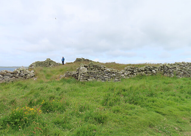
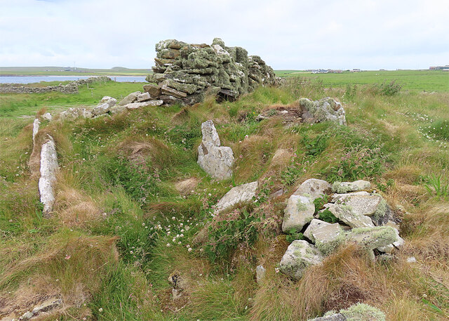
Castle Bloody
Castle Bloody is a prehistoric feature on the island of Shapinsay, Orkney, Scotland. Hogan observes that while the feature is marked as a chambered mound...

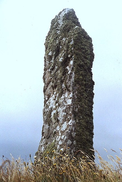
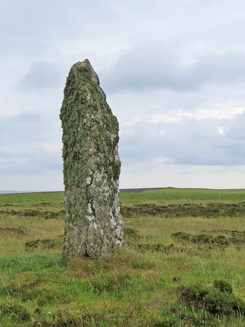
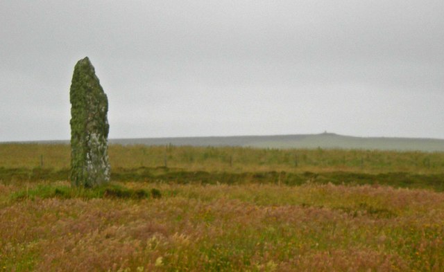
Mor Stein
Mor Stein is a neolithic standing stone in the southeastern part of the island of Shapinsay, Orkney Islands, Scotland. Shapinsay is one of the two large...

Bay of Linton
The Bay of Linton is a bay on the east coast on the island of Shapinsay in the Orkney Islands, Scotland. To the north of Linton Bay are the headlands...

Linton Chapel
Linton Chapel is a ruined chapel on the east coast of Shapinsay, Orkney (Grid Reference HY5218). The chapel is thought to date as early as the 12th century...
Nearby Amenities
Located within 500m of 59.018892,-2.8240063Have you been to South Skerry?
Leave your review of South Skerry below (or comments, questions and feedback).