Savenick
Coastal Feature, Headland, Point in Orkney
Scotland
Savenick
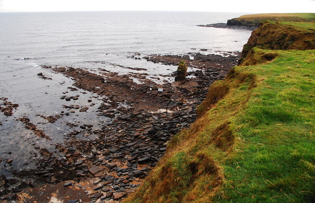
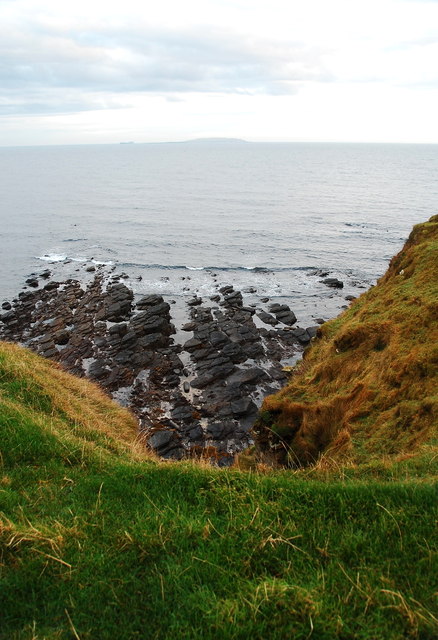
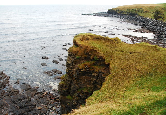
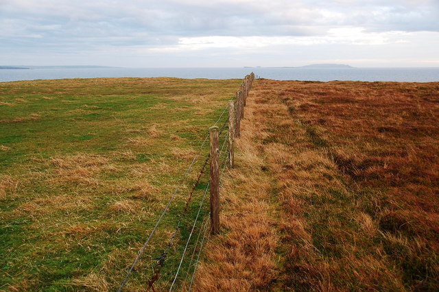
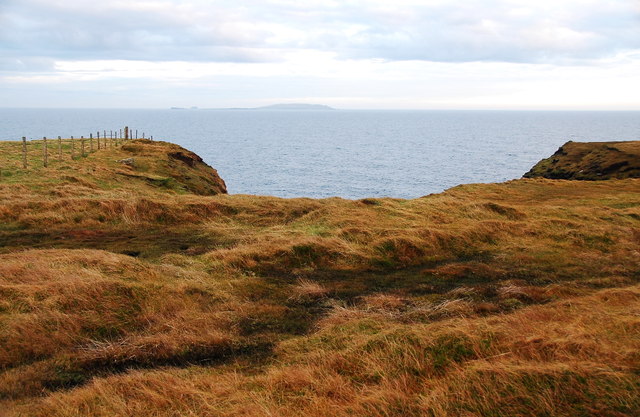
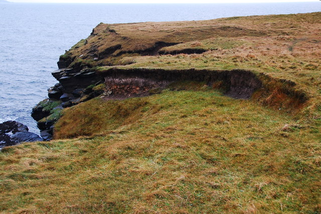
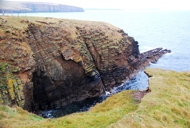
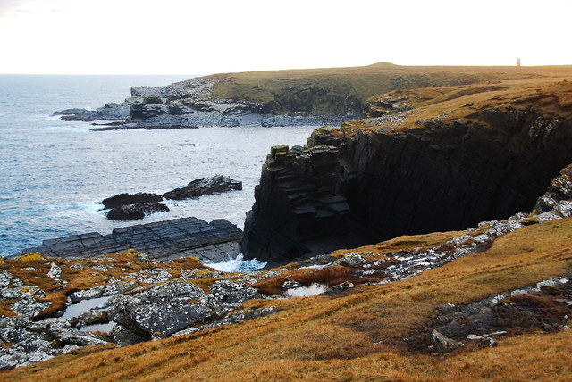
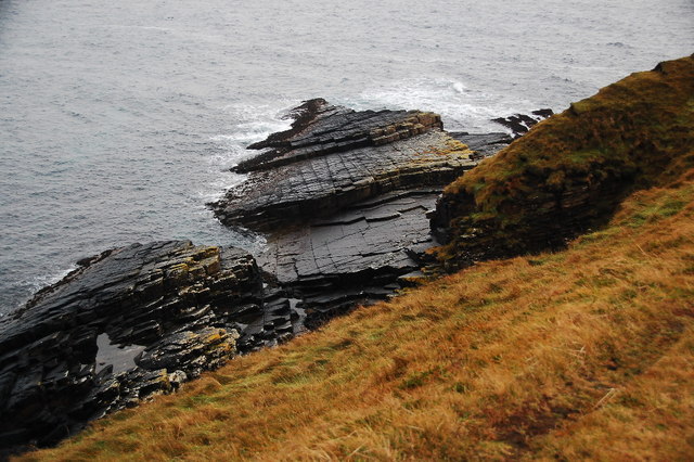
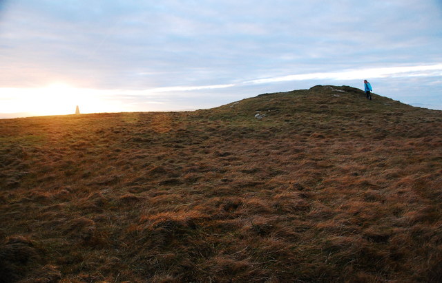
Savenick is a prominent coastal feature located on the mainland of Orkney, a group of islands situated off the northeastern coast of Scotland. Positioned on the eastern side of the island, Savenick is a headland that extends out into the North Sea. It is characterized by its rugged cliffs, which rise steeply from the surrounding waters, offering breathtaking panoramic views of the coastline.
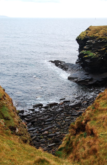
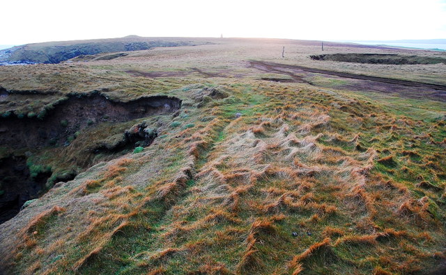
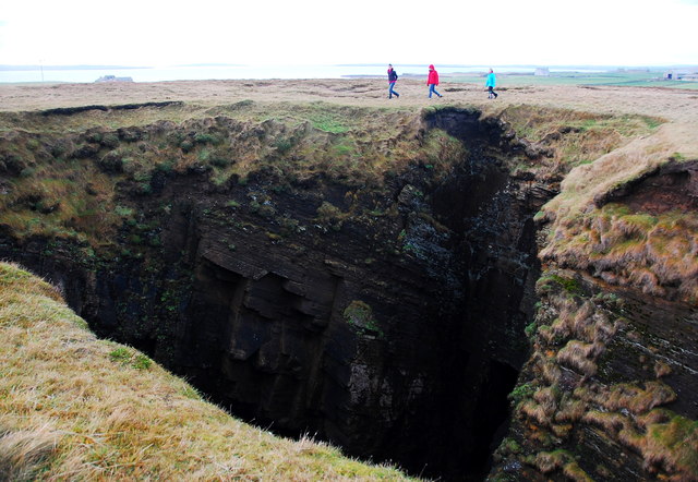
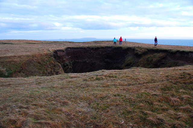
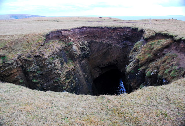
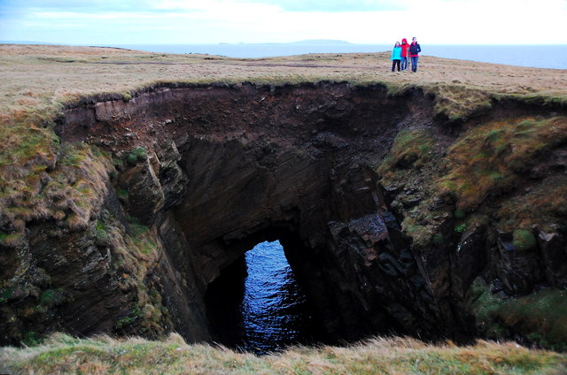
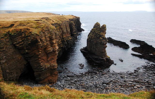
The headland is formed by layers of sedimentary rocks, primarily sandstone and shale, which have been shaped by the relentless forces of erosion over millions of years. The cliffs exhibit striking geological features, including deep crevices, caves, and rock formations that have been sculpted by the powerful waves crashing against the shore.
Savenick is known for its diverse and abundant wildlife. The surrounding waters are home to a variety of marine species, including seals, dolphins, and numerous species of seabirds such as fulmars, kittiwakes, and puffins. The headland provides an ideal breeding ground for these birds, with its steep cliffs offering protection from predators.
The area surrounding Savenick is also rich in archaeological history. Neolithic settlements and burial sites have been discovered in the vicinity, indicating human habitation on the headland dating back thousands of years. The presence of these ancient sites adds to the cultural significance of Savenick, attracting visitors interested in exploring Orkney's fascinating past.
Overall, Savenick is a captivating coastal feature in Orkney, offering stunning natural landscapes, diverse wildlife, and a glimpse into the area's rich history. It is a popular destination for tourists and nature enthusiasts seeking to immerse themselves in the remarkable beauty of this remote corner of Scotland.
If you have any feedback on the listing, please let us know in the comments section below.
Savenick Images
Images are sourced within 2km of 58.877185/-2.8208586 or Grid Reference ND5299. Thanks to Geograph Open Source API. All images are credited.
Savenick is located at Grid Ref: ND5299 (Lat: 58.877185, Lng: -2.8208586)
Unitary Authority: Orkney Islands
Police Authority: Highlands and Islands
What 3 Words
///commended.hello.personal. Near Holm, Orkney Islands
Nearby Locations
Related Wikis

Lamb Holm
Lamb Holm is a small uninhabited island in Orkney, Scotland. The Italian Chapel, constructed during the Second World War, is the island's main attraction...

Italian Chapel
The Italian Chapel is a highly ornate Catholic chapel on Lamb Holm in the Orkney Islands. It was built during World War II by Italian prisoners of war...

A961 road
The A961 is a single-carriageway road on the eastern side of Scapa Flow in the Orkney Islands, connecting the town of Kirkwall on the Orkney Mainland to...
Orkney F.C.
Orkney Football Club is a senior association football club from the Orkney Islands, Scotland. The club was founded in 2012 and competes in the North Caledonian...
St Peter's Pool, Orkney
St Peter's Pool is a bay in the East Mainland of Orkney, Scotland. This bay was the site of significant coastal defences during World War II, when a German...
Holm, Orkney
Holm (pronounced /hæm/ ), also spelled Ham, is a parish on Mainland, Orkney.An adjacent Sound, running between Mainland, and Burray, is named after Holm...

Glimps Holm
Glimps Holm or Glims Holm (Old Norse: Glums Holm) is a small uninhabited islet in Orkney, Scotland. == Geography == Glimps Holm lies in Holm Sound, one...

St Mary's, Orkney
St Mary's (also known as St. Mary's Holm) is a small village in the parish of Holm on Mainland, Orkney, Scotland. It was originally a fishing port.Orkney...
Nearby Amenities
Located within 500m of 58.877185,-2.8208586Have you been to Savenick?
Leave your review of Savenick below (or comments, questions and feedback).