Cuby Skerry

Coastal Feature, Headland, Point in Orkney

Scotland

Cuby Skerry

Anti-tank structures These are not marked on any map I can find, nor is their purpose obvious. But research reveals that they are WW2 anti tank (anti-invasion) structures. Mostly of truncated pyramids though some are filled oil-drums. Others, I'm told, can be found nearby on dry land.
Anti-tank structures Credit: Derek Mayes

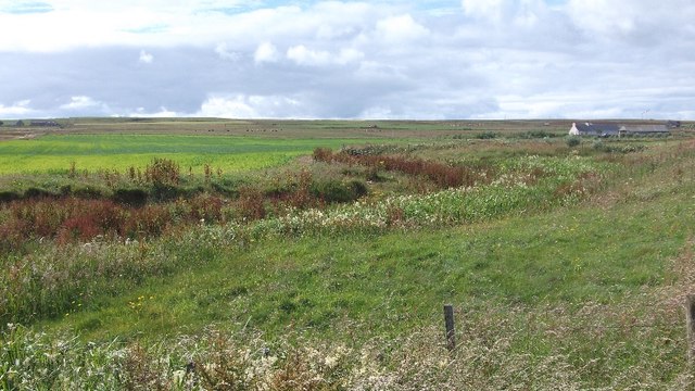
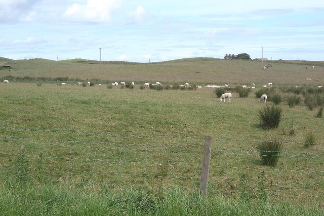
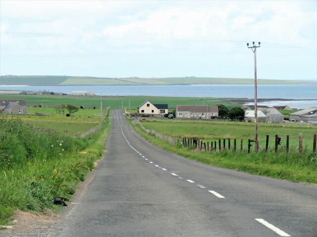
Cuby Skerry is a prominent coastal feature located in the Orkney Islands, an archipelago in the north of Scotland. It is specifically found in the northeastern part of the main island, known as Mainland. As a headland or point, Cuby Skerry extends into the North Sea, marking the end of a stretch of coastline.

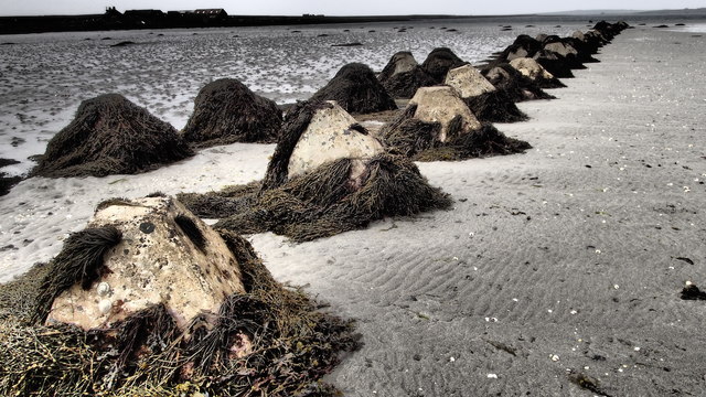
The headland is characterized by its rugged and rocky terrain, with steep cliffs rising dramatically from the sea. These cliffs reach heights of approximately 50 meters (164 feet) and are composed primarily of sandstone, giving them a distinctive reddish color. Over time, erosion from the relentless waves has carved deep crevices and caves into the cliffs, adding to the area's wild beauty.

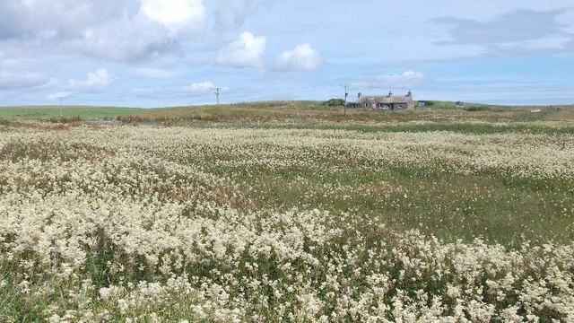
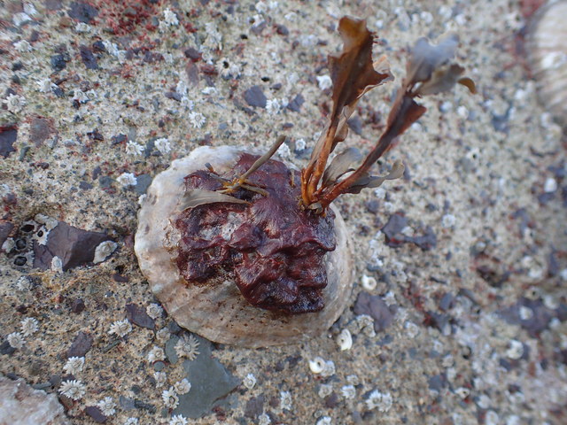
Cuby Skerry is also renowned for its rich biodiversity. The surrounding waters are teeming with marine life, including various species of fish, seals, and seabirds. It is particularly known as a breeding ground for puffins, which nest in the cliffs during the summer months, creating a bustling colony of these charismatic birds.

Access to Cuby Skerry is relatively challenging due to its remote location and rugged terrain. However, it remains a popular destination for nature enthusiasts, hikers, and birdwatchers who are captivated by its stunning coastal scenery and abundant wildlife. Exploring the headland offers visitors a chance to immerse themselves in the untamed beauty of the Orkney Islands and witness the powerful forces of nature that have shaped this coastal feature over millennia.

If you have any feedback on the listing, please let us know in the comments section below.
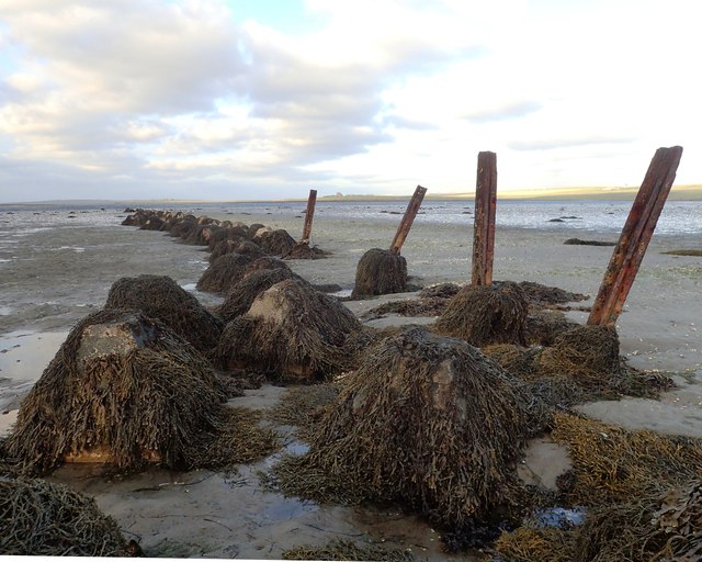
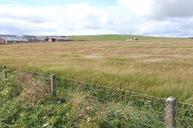
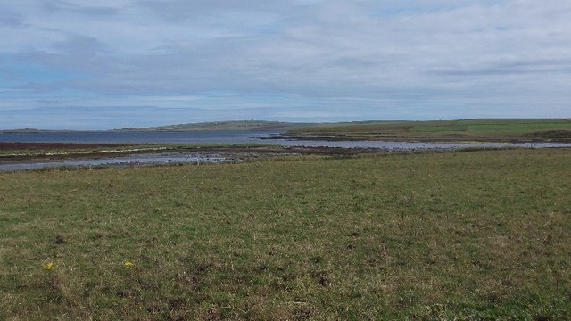
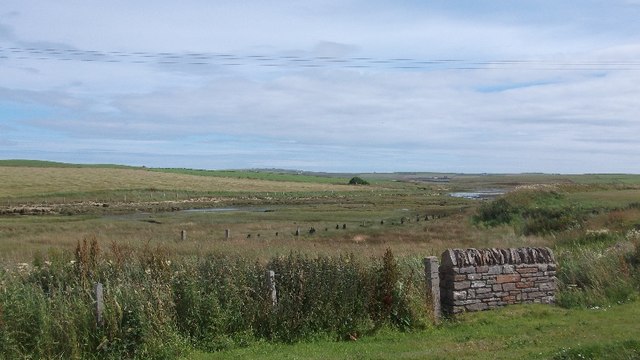
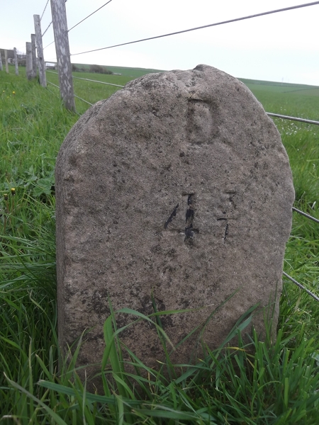
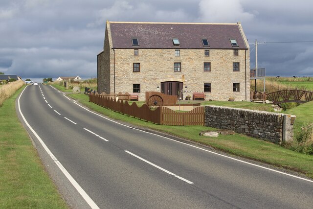
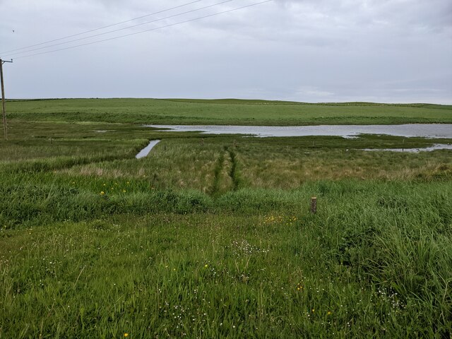
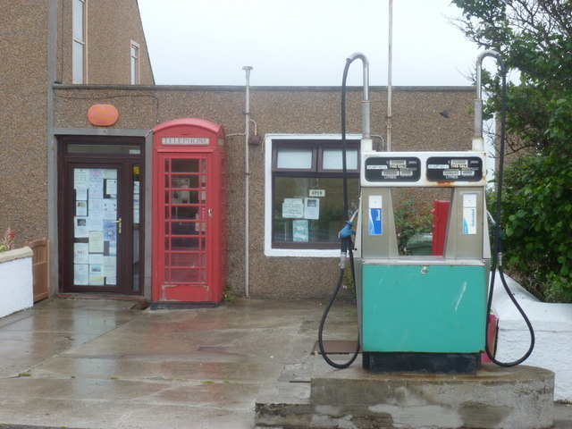
Cuby Skerry Images

Images are sourced within 2km of 58.926645/-2.8247074 or Grid Reference HY5204. Thanks to Geograph Open Source API. All images are credited.

Anti-tank structures These are not marked on any map I can find, nor is their purpose obvious. But research reveals that they are WW2 anti tank (anti-invasion) structures. Mostly of truncated pyramids though some are filled oil-drums. Others, I'm told, can be found nearby on dry land.
Anti-tank structures
These are not marked on any map I can find, nor is their purpose obvious. But research reveals that they are WW2 anti tank (anti-invasion) structures. Mostly of truncated pyramids though some are filled oil-drums. Others, I'm told, can be found nearby on dry land.
Barley, Foubister Arable land on the north side of Mainland, near Toab.
Barley, Foubister
Arable land on the north side of Mainland, near Toab.
Toab A field beside Bay of Suckquoy.
Toab
A field beside Bay of Suckquoy.
Estuary, Toab A tidal inlet at the head of Bay of Suckquoy.
Estuary, Toab
A tidal inlet at the head of Bay of Suckquoy.
Horsick Coastal farmland, Toab.
Horsick
Coastal farmland, Toab.
Meadowsweet, Millbrae Vast area of the ever popular fragrant wetland plant.
Meadowsweet, Millbrae
Vast area of the ever popular fragrant wetland plant.
Milldam Orkney hay meadows.
Milldam
Orkney hay meadows.
Quoyburray Inn
Quoyburray Inn
Sheep, Quoyburray A field opposite the pub.
Sheep, Quoyburray
A field opposite the pub.
Old Milestone by the A960, St Ola, Kirkwall parish Stone post by the A960, in parish of Kirkwall, St Ola (Mainland District), East of bungalow, on verge, on rise, South side of road.

Inscription reads:-
: K / 7 : : D / 4¾ :
(To Kirkwall and Deerness)

Surveyed

Milestone Society National ID: OR_KWDN07
Old Milestone by the A960, St Ola, Kirkwall parish
Stone post by the A960, in parish of Kirkwall, St Ola (Mainland District), East of bungalow, on verge, on rise, South side of road. Inscription reads:- : K / 7 : : D / 4¾ : (To Kirkwall and Deerness) Surveyed Milestone Society National ID: OR_KWDN07
Wartime Structures These structures are worth recording - I can find no Web-references. They are significant historical and ecological features. The whole line, of mostly concrete truncated pyramids, reaches nearly 200 metres from dry land to quite low water. Some are exposed for most of the day, others for only an hour or two.
They all have a good coating of Wracks (seaweeds) which hide a varied collection of other Marine organisms, some quite rare.
Linked to <a title="https://www.geograph.org.uk/photo/4717066" href="https://www.geograph.org.uk/photo/4717066">Link</a>
and my series of iSpot Observations here <span class="nowrap"><a title="https://www.ispotnature.org/communities/uk-and-ireland/view/observation/778731/" rel="nofollow ugc noopener" href="https://www.ispotnature.org/communities/uk-and-ireland/view/observation/778731/">Link</a><img style="margin-left:2px;" alt="External link" title="External link - shift click to open in new window" src="https://s1.geograph.org.uk/img/external.png" width="10" height="10"/></span>
Wartime Structures
These structures are worth recording - I can find no Web-references. They are significant historical and ecological features. The whole line, of mostly concrete truncated pyramids, reaches nearly 200 metres from dry land to quite low water. Some are exposed for most of the day, others for only an hour or two. They all have a good coating of Wracks (seaweeds) which hide a varied collection of other Marine organisms, some quite rare. Linked to Link and my series of iSpot Observations here LinkExternal link
Colaconema caespitosum The Wartime anti-tank structures at this location <a title="https://www.geograph.org.uk/photo/6190823" href="https://www.geograph.org.uk/photo/6190823">Link</a> are ecologically significant. Some of the lowest ones host quite rare marine organisms. There are plenty of common limpets of course.
On a few, and on some concrete surfaces, there is the quite rare seaweed Colaconema caespitosum - <span class="nowrap"><a title="http://www.seaweed.ie/descriptions/Colaconema_caespitosum.php" rel="nofollow ugc noopener" href="http://www.seaweed.ie/descriptions/Colaconema_caespitosum.php">Link</a><img style="margin-left:2px;" alt="External link" title="External link - shift click to open in new window" src="https://s1.geograph.org.uk/img/external.png" width="10" height="10"/></span>
World distribution - <span class="nowrap"><a title="https://www.gbif.org/species/5278379" rel="nofollow ugc noopener" href="https://www.gbif.org/species/5278379">Link</a><img style="margin-left:2px;" alt="External link" title="External link - shift click to open in new window" src="https://s1.geograph.org.uk/img/external.png" width="10" height="10"/></span>
My record <span class="nowrap"><a title="https://www.gbif.org/occurrence/2242813042" rel="nofollow ugc noopener" href="https://www.gbif.org/occurrence/2242813042">Link</a><img style="margin-left:2px;" alt="External link" title="External link - shift click to open in new window" src="https://s1.geograph.org.uk/img/external.png" width="10" height="10"/></span>
Personally, I think the structures should be protected for their historical and environmental value.
Colaconema caespitosum
The Wartime anti-tank structures at this location Link are ecologically significant. Some of the lowest ones host quite rare marine organisms. There are plenty of common limpets of course. On a few, and on some concrete surfaces, there is the quite rare seaweed Colaconema caespitosum - LinkExternal link World distribution - LinkExternal link My record LinkExternal link Personally, I think the structures should be protected for their historical and environmental value.
Heading downhill at Foubister Looking north east down the hill towards Midbigging with Deer Sound beyond.
Heading downhill at Foubister
Looking north east down the hill towards Midbigging with Deer Sound beyond.
Sebay Mill Former mill converted into holiday apartments.
Sebay Mill
Former mill converted into holiday apartments.
Where the Burn of Langskaill joins the Bay of Suckquoy
Toab: the post office More than just a village store - petrol filling station and part-time post office too.
Toab: the post office
More than just a village store - petrol filling station and part-time post office too.
Toab: postbox № KW17 33 This postbox stands on the forecourt of <a href="https://www.geograph.org.uk/photo/2609808">HY5204 : Toab: the post office</a> and is emptied finally at 11:45am on weekdays and Saturdays.
Toab: postbox № KW17 33
This postbox stands on the forecourt of HY5204 : Toab: the post office and is emptied finally at 11:45am on weekdays and Saturdays.
Inside Mine Howe Mine Howe is a prehistoric subterranean man-made chamber dug 20 feet deep inside a large mound. This view is from the rock floor looking straight up. Its walls are lined with stones fitted to form an arch over the cavity and 29 steps lead to its rock floor.
Inside Mine Howe
Mine Howe is a prehistoric subterranean man-made chamber dug 20 feet deep inside a large mound. This view is from the rock floor looking straight up. Its walls are lined with stones fitted to form an arch over the cavity and 29 steps lead to its rock floor.
Show me another place!

Cuby Skerry is located at Grid Ref: HY5204 (Lat: 58.926645, Lng: -2.8247074)

Unitary Authority: Orkney Islands

Police Authority: Highlands and Islands

What 3 Words

///surgical.envisage.formally. Near Tankerness, Orkney Islands

Related Wikis

St Peter's Pool, Orkney

St Peter's Pool is a bay in the East Mainland of Orkney, Scotland. This bay was the site of significant coastal defences during World War II, when a German...

Mine Howe

Mine Howe is an Iron Age subterranean man-made chamber dug 6 meters (20 feet) deep inside a large mound. It is located in the Tankerness area of Orkney...

Toab, Orkney

Toab is a parish on the Orkney Mainland, situated in the East Mainland. Toab is located off the A960 road at the head of Deer Sound on the Mainland, Orkney...

Tankerness

Tankerness is a district in the St Andrews parish in Mainland, Orkney, Scotland. Essentially a peninsula, it is about 13 kilometres (8 mi) south-east of...

Nearby Amenities

Located within 500m of 58.926645,-2.8247074
Power: pole
Lat/Long: 58.9239423/-2.8185224
Power: pole
Lat/Long: 58.9237476/-2.8194122
Power: pole
Lat/Long: 58.922916/-2.8203158
Power: pole
Lat/Long: 58.9233188/-2.8204854
The data included in this document is from www.openstreetmap.org. The data is made available under ODbL.

Have you been to Cuby Skerry?

Leave your review of Cuby Skerry below (or comments, questions and feedback).