Grandag Shingle
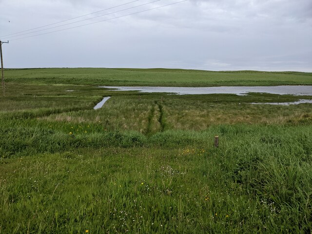
Coastal Marsh, Saltings in Orkney
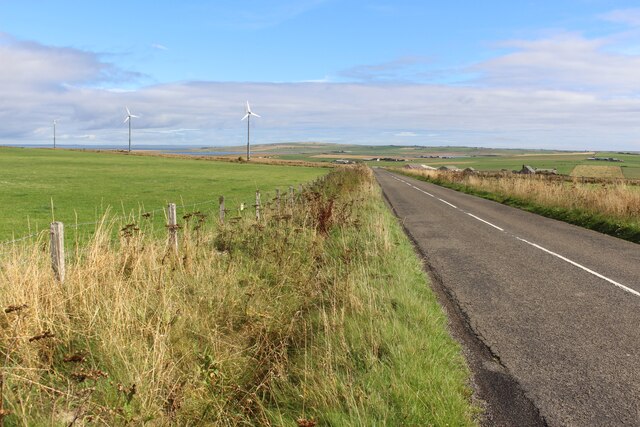
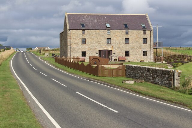
Scotland
Grandag Shingle
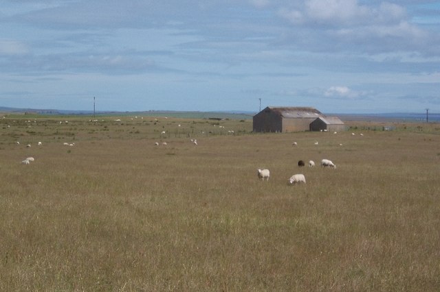
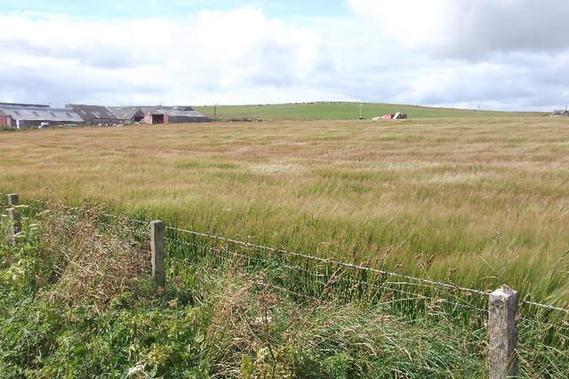
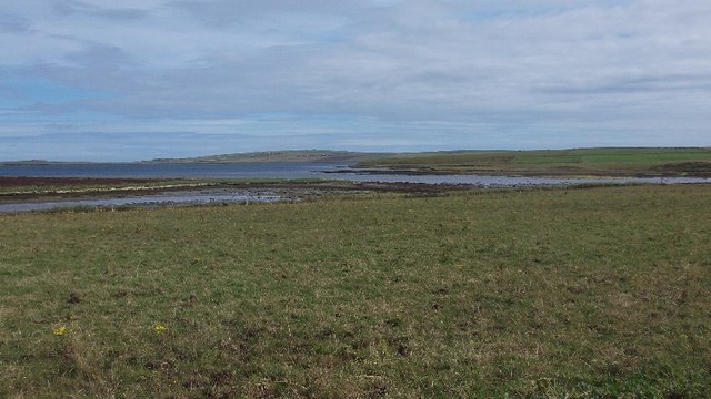
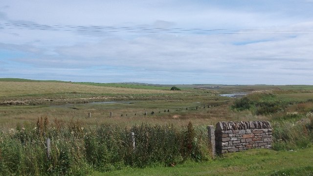
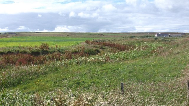
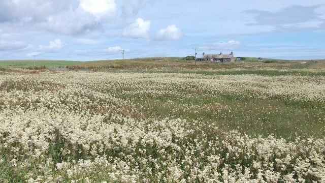
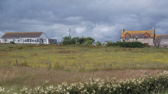
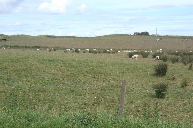
Grandag Shingle is a unique coastal marsh located in the Orkney Islands, off the northeastern coast of Scotland. It is characterized by its vast expanse of shingle and saltings, making it an important habitat for a variety of plant and animal species.
The shingle, consisting of small pebbles and gravel, is constantly shifting due to the strong tidal currents and wave action in the area. This dynamic environment provides a challenging but vital habitat for a diverse range of plant life. Species such as sea campion, thrift, and sea aster are well-adapted to the harsh conditions of the shingle and can be found thriving here.
The saltings, or salt marshes, are a result of the intertidal zone where land and sea meet. They are characterized by their high salt content due to regular exposure to seawater during high tides. The unique brackish conditions of the saltings support a variety of salt-tolerant plants like samphire, sea lavender, and sea purslane. These plants play an important role in stabilizing the marsh and providing food and shelter for a range of invertebrates and birds.
Grandag Shingle is also a haven for birdlife, attracting a wide array of species throughout the year. Wading birds such as redshanks, oystercatchers, and curlews can be seen foraging in the mudflats, while ducks, geese, and swans can be spotted on the surrounding pools and lochs.
Due to its ecological significance, Grandag Shingle is designated as a Site of Special Scientific Interest (SSSI) and is protected under the nature conservation regulations of Scotland. It offers visitors a chance to witness the beauty and biodiversity of this unique coastal ecosystem.
If you have any feedback on the listing, please let us know in the comments section below.
Grandag Shingle Images
Images are sourced within 2km of 58.924756/-2.8307759 or Grid Reference HY5204. Thanks to Geograph Open Source API. All images are credited.
Grandag Shingle is located at Grid Ref: HY5204 (Lat: 58.924756, Lng: -2.8307759)
Unitary Authority: Orkney Islands
Police Authority: Highlands and Islands
What 3 Words
///zoned.pelting.polka. Near Tankerness, Orkney Islands
Nearby Locations
Related Wikis

Mine Howe
Mine Howe is an Iron Age subterranean man-made chamber dug 6 meters (20 feet) deep inside a large mound. It is located in the Tankerness area of Orkney...
St Peter's Pool, Orkney
St Peter's Pool is a bay in the East Mainland of Orkney, Scotland. This bay was the site of significant coastal defences during World War II, when a German...

Toab, Orkney
Toab is a parish on the Orkney Mainland, situated in the East Mainland. Toab is located off the A960 road at the head of Deer Sound on the Mainland, Orkney...

Tankerness
Tankerness is a district in the St Andrews parish in Mainland, Orkney, Scotland. Essentially a peninsula, it is about 13 kilometres (8 mi) south-east of...
Holm, Orkney
Holm (pronounced /hæm/ ), also spelled Ham, is a parish on Mainland, Orkney.An adjacent Sound, running between Mainland, and Burray, is named after Holm...
St Andrews, Orkney
St Andrews is a parish on Mainland, Orkney in Scotland. It is located east of the town of Kirkwall and the parish of St Ola and lies north of Holm and...

Loch of Tankerness
Loch of Tankerness is a large, lowland, freshwater loch on the Orkney mainland in Scotland. The loch is roughly triangular in shape and is shallow with...

Deerness
Deerness (, locally , Old Norse: Dyrnes) is a quoad sacra parish (i.e. one created and functioning for ecclesiastical purposes only) and peninsula in Mainland...
Nearby Amenities
Located within 500m of 58.924756,-2.8307759Have you been to Grandag Shingle?
Leave your review of Grandag Shingle below (or comments, questions and feedback).