Sand Geo
Coastal Feature, Headland, Point in Orkney
Scotland
Sand Geo

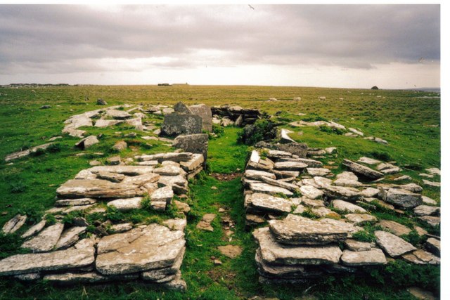
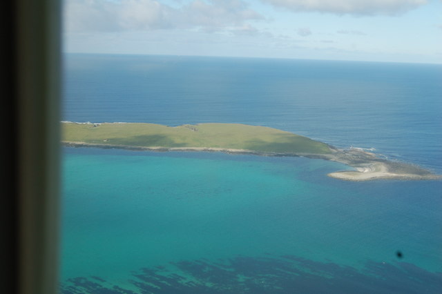
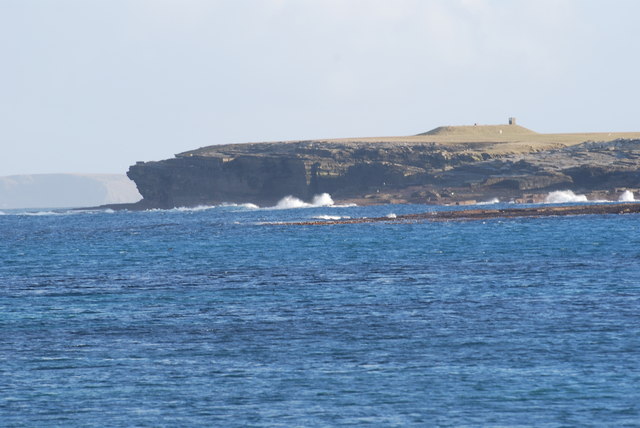
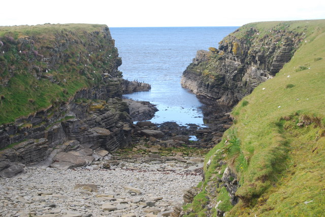
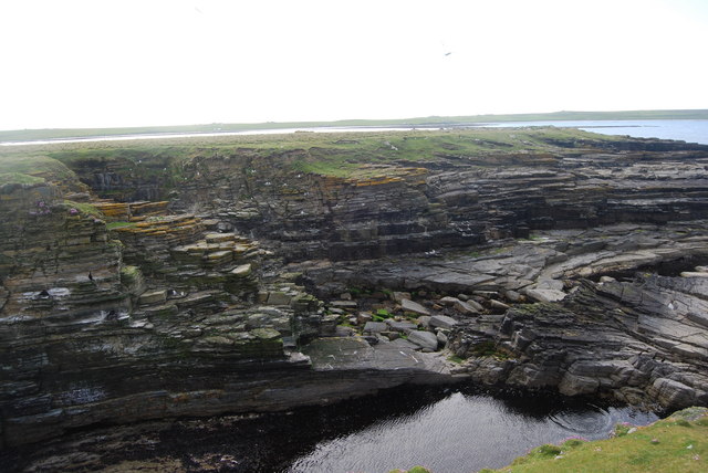
Sand Geo is a prominent coastal feature located in Orkney, a group of islands off the northeastern coast of Scotland. It is classified as a headland, also commonly referred to as a point, due to its distinct shape and geographical features. The headland extends out into the North Sea, offering stunning panoramic views of the surrounding coastline.
Sand Geo is characterized by its sandy beach, which stretches along the base of the headland and is a popular attraction for locals and tourists alike. The beach is known for its pristine white sand and crystal-clear waters, making it an ideal spot for swimming, sunbathing, and picnicking during the summer months.
The headland itself is composed of rugged cliffs, rising up to impressive heights and providing a dramatic backdrop to the beach. These cliffs are formed from layers of sedimentary rocks, showcasing a variety of colors and textures. The geological composition of the headland also includes pockets of sandstone and shale, adding to its unique and diverse landscape.
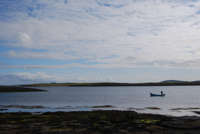
Sand Geo is home to a rich array of flora and fauna, making it a haven for nature enthusiasts. The headland supports a variety of plant species, including wildflowers, grasses, and shrubs, providing habitat for a range of insects and small mammals. The surrounding waters are teeming with marine life, and visitors may spot seals, dolphins, and seabirds such as puffins and gannets.
Overall, Sand Geo is a breathtaking coastal feature that combines natural beauty with geological interest, offering visitors a chance to immerse themselves in Orkney's stunning coastal scenery.
If you have any feedback on the listing, please let us know in the comments section below.
Sand Geo Images
Images are sourced within 2km of 59.34345/-2.8789755 or Grid Reference HY5051. Thanks to Geograph Open Source API. All images are credited.


Sand Geo is located at Grid Ref: HY5051 (Lat: 59.34345, Lng: -2.8789755)
Unitary Authority: Orkney Islands
Police Authority: Highlands and Islands
What 3 Words
///downsize.urban.resting. Near Pierowall, Orkney Islands
Nearby Locations
Related Wikis

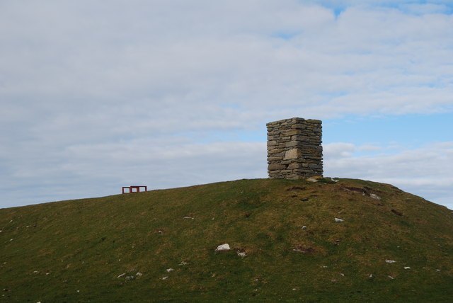
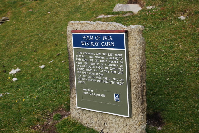
Holm of Papa
The Holm of Papa (or Holm of Papay, Holm of Papa Westray and known locally as the Papay Holm,) is a very small uninhabited island in the Orkney Islands...

Holland House, Papa Westray
Holland Farm is a historic farm complex located on the island of Papa Westray in Orkney, Scotland. The two-storey harled flagstone house with crow-stepped...

Papa Westray
Papa Westray () (Scots: Papa Westree), also known as Papay, is one of the Orkney Islands in Scotland, United Kingdom. The fertile soil has long been a...

Papa Westray Airport
Papa Westray Airport (IATA: PPW, ICAO: EGEP) is located 22 NM (41 km; 25 mi) north of Kirkwall Airport on Papa Westray, Orkney Islands, Scotland. The facility...
Have you been to Sand Geo?
Leave your review of Sand Geo below (or comments, questions and feedback).