Bay of South Cruive
Bay in Orkney
Scotland
Bay of South Cruive

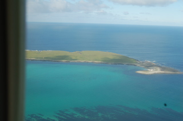
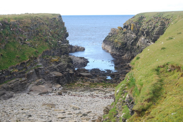
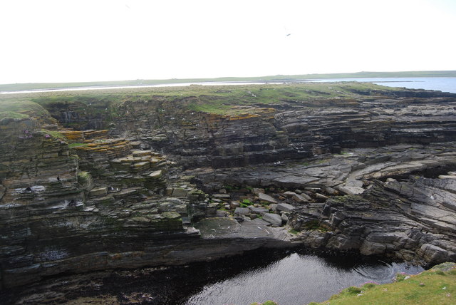
The Bay of South Cruive is a natural inlet located in the Orkney Islands, an archipelago in northern Scotland. Situated on the southern coast of the Mainland, the largest island in the Orkney group, the bay offers a picturesque and tranquil setting.
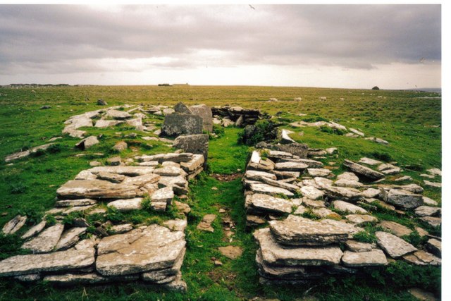
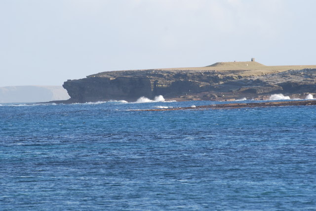
The bay is characterized by its sandy shores, which gently slope into the crystal-clear waters of the North Sea. The coastline is dotted with small pebble beaches and rock formations, providing ample opportunities for exploring and beachcombing. The bay is also home to a diverse range of marine life, making it a popular spot for snorkeling and diving enthusiasts.
Surrounding the bay are rolling green hills and rugged cliffs, adding to its natural beauty. The area is rich in flora and fauna, with seabirds, seals, and occasionally even dolphins being spotted by visitors.
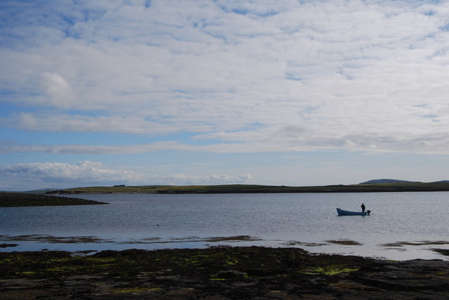
The Bay of South Cruive is a popular destination for outdoor activities such as hiking, fishing, and boating. The nearby village of South Ronaldsay offers amenities such as accommodations, restaurants, and shops, making it a convenient base for exploring the bay and its surroundings.
Whether visitors are looking for a peaceful retreat, an adventure-filled getaway, or simply a chance to immerse themselves in the stunning beauty of the Orkney Islands, the Bay of South Cruive offers a unique and captivating experience.
If you have any feedback on the listing, please let us know in the comments section below.
Bay of South Cruive Images
Images are sourced within 2km of 59.347301/-2.8685601 or Grid Reference HY5051. Thanks to Geograph Open Source API. All images are credited.


Bay of South Cruive is located at Grid Ref: HY5051 (Lat: 59.347301, Lng: -2.8685601)
Unitary Authority: Orkney Islands
Police Authority: Highlands and Islands
What 3 Words
///overlaps.nagging.pupils. Near Pierowall, Orkney Islands
Nearby Locations
Related Wikis

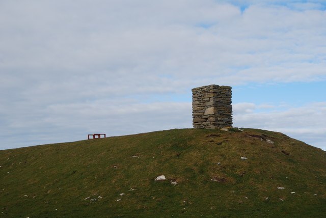
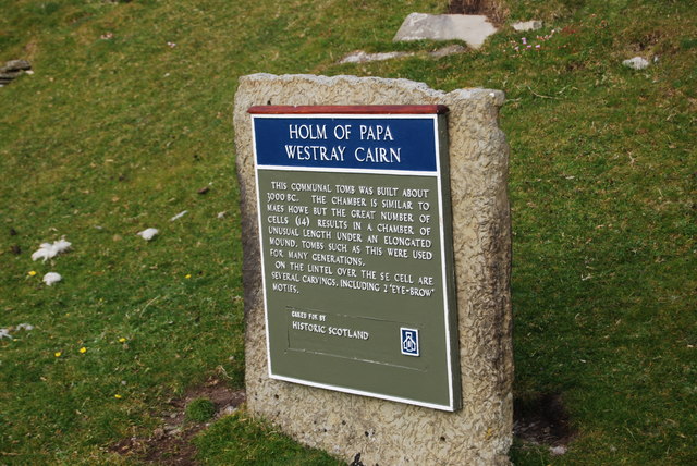
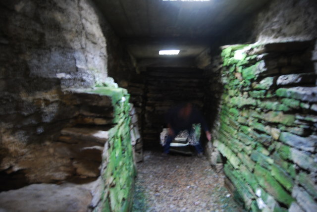
Holm of Papa
The Holm of Papa (or Holm of Papay, Holm of Papa Westray and known locally as the Papay Holm,) is a very small uninhabited island in the Orkney Islands...

Papa Westray
Papa Westray () (Scots: Papa Westree), also known as Papay, is one of the Orkney Islands in Scotland, United Kingdom. The fertile soil has long been a...

Holland House, Papa Westray
Holland Farm is a historic farm complex located on the island of Papa Westray in Orkney, Scotland. The two-storey harled flagstone house with crow-stepped...

Papa Westray Airport
Papa Westray Airport (IATA: PPW, ICAO: EGEP) is located 22 NM (41 km; 25 mi) north of Kirkwall Airport on Papa Westray, Orkney Islands, Scotland. The facility...
Have you been to Bay of South Cruive?
Leave your review of Bay of South Cruive below (or comments, questions and feedback).