The Girdles
Coastal Feature, Headland, Point in Banffshire
Scotland
The Girdles
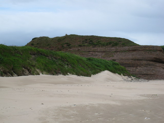
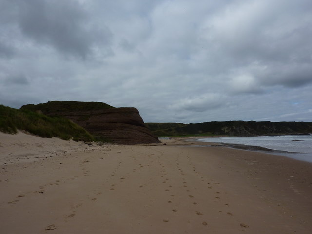
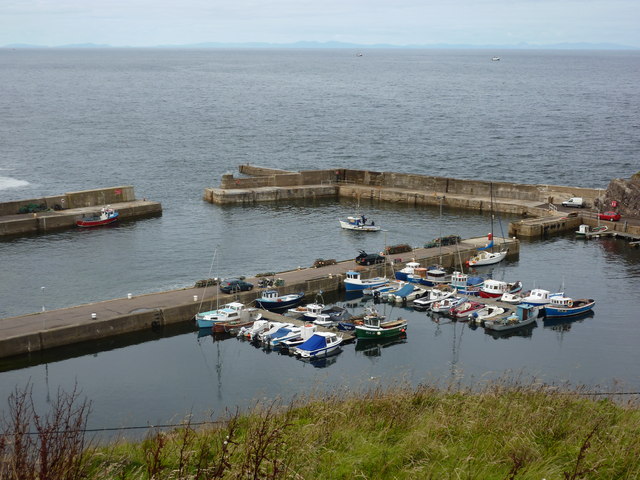
The Girdles, located in Banffshire, Scotland, is a prominent coastal feature known for its distinctive headland and point formation. Situated along the rugged coastline, it is a popular destination for locals and tourists alike, offering stunning views of the surrounding landscape and the North Sea.
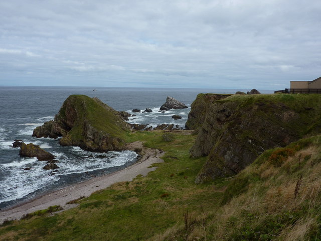
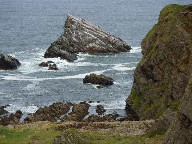
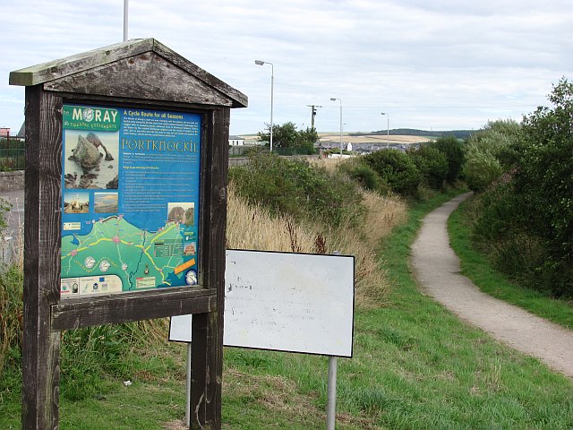
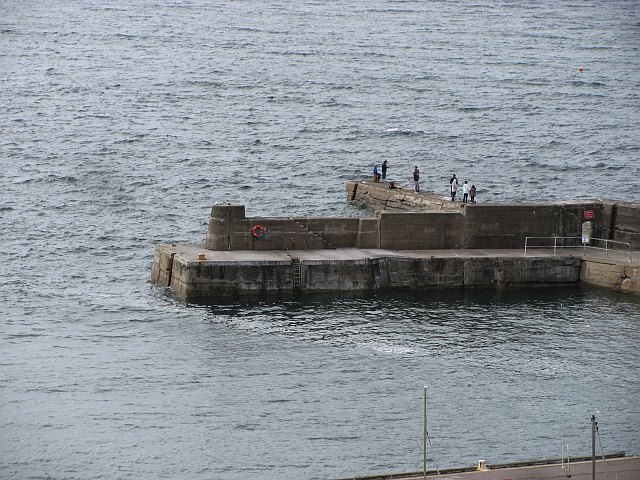
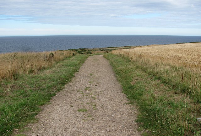
The Girdles is characterized by its rugged cliffs, which rise dramatically from the sea, creating an impressive geological formation. The headland, jutting out into the sea, provides a natural barrier against the powerful waves, making it an ideal spot for observing the force of the ocean. The point, extending further into the water, offers an excellent vantage point for birdwatching, as it attracts a variety of seabirds.
The area is also rich in marine wildlife, with seals often seen basking on the rocks and dolphins occasionally spotted playing in the waters nearby. The Girdles is a designated conservation area, ensuring the protection of its unique ecosystem and the preservation of its natural beauty.
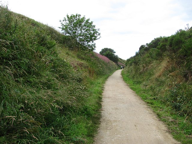
For those seeking outdoor activities, The Girdles offers opportunities for hiking and exploring the coastal trails. The cliffs provide a challenging terrain for experienced climbers, while the nearby beaches offer a peaceful escape for leisurely walks or picnics.
Visitors to The Girdles can also explore the nearby town of Banff, which offers amenities such as accommodations, restaurants, and shops. With its breathtaking scenery and diverse wildlife, The Girdles is a must-visit destination for nature lovers and those seeking an authentic Scottish coastal experience.
If you have any feedback on the listing, please let us know in the comments section below.
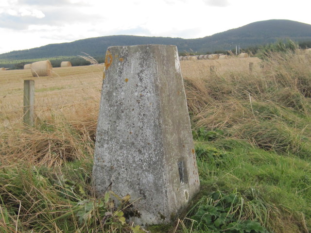
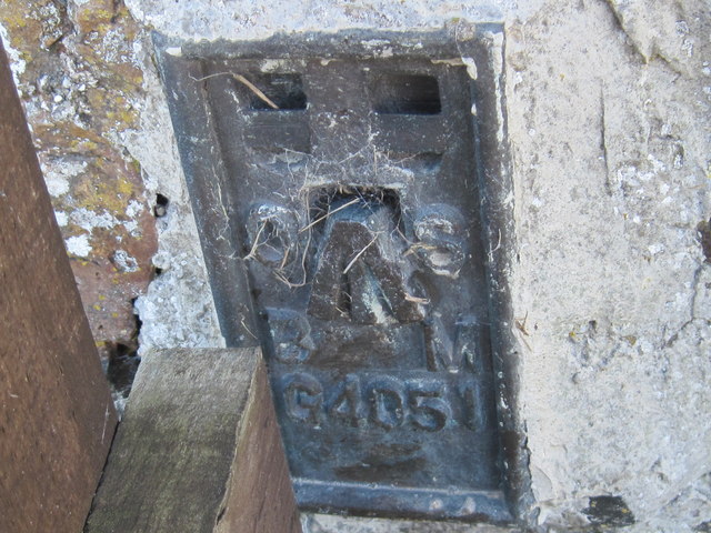
The Girdles Images
Images are sourced within 2km of 57.704481/-2.8461811 or Grid Reference NJ4968. Thanks to Geograph Open Source API. All images are credited.
The Girdles is located at Grid Ref: NJ4968 (Lat: 57.704481, Lng: -2.8461811)
Unitary Authority: Moray
Police Authority: North East
What 3 Words
///showcases.scaffold.coolest. Near Portknockie, Moray
Nearby Locations
Related Wikis

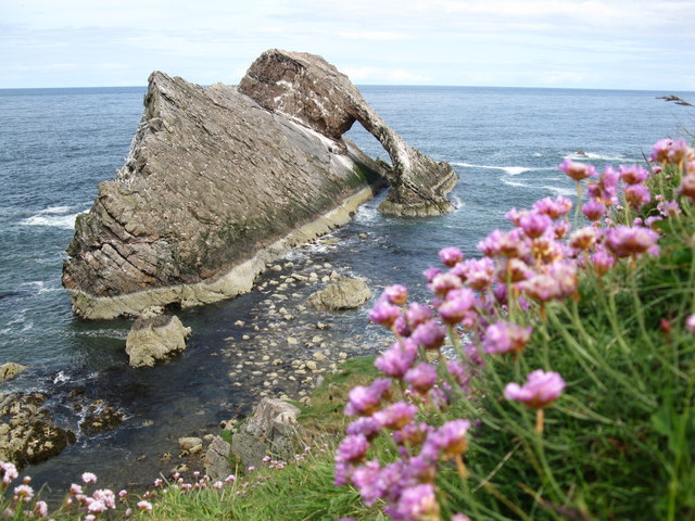
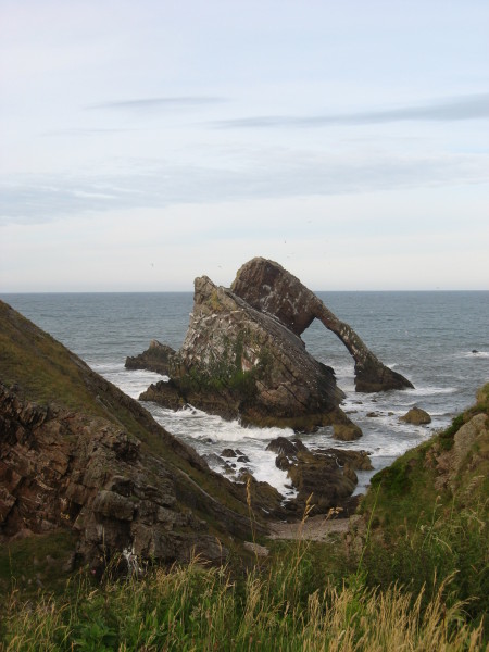
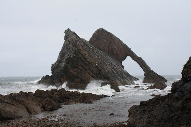
Bow Fiddle Rock
Bow Fiddle Rock is a natural sea arch near Portknockie on the north-eastern coast of Scotland. It is so called because it resembles the tip of a fiddle...

Green Castle, Portknockie
Green Castle is a naturally defended rocky outcrop in the village of Portknockie in Moray, Scotland, that was occupied successively by small promontory...

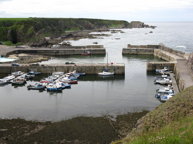
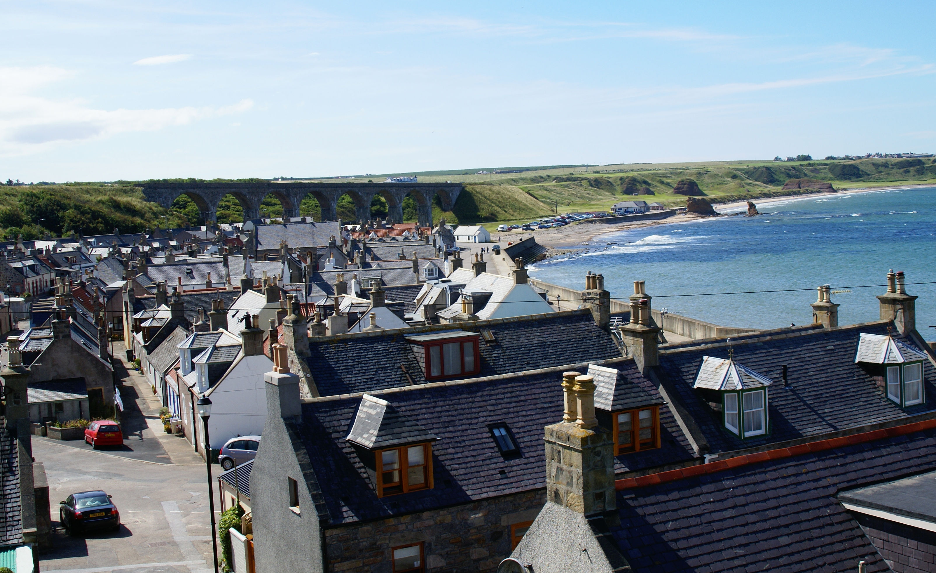
Portknockie
Portknockie (Scottish Gaelic: Port Chnocaidh, the hilly port) is a coastal village on the Moray Firth within Moray, Scotland. The village's name is written...
Portknockie railway station
Portknockie railway station was a railway station that served the small fishing village of Portknockie, close to Cullen in Moray. The railway station was...
Tronach Castle
Tronach Castle was a castle, about 0.5 miles (0.80 km) east of Portknockie, Moray, Scotland, near the shore. == Description == The first Statistical Account...
Cullen Castle
Cullen Castle was a royal castle about 0.5 miles (0.80 km) west of Cullen, Moray, Scotland, west of the burn of Deskford, and south of Seatown. The remains...
Cullen, Moray
Cullen (Scottish Gaelic: Inbhir Cuilinn) is a village and former royal burgh in Moray but historically in Banffshire, Scotland, on the North Sea coast...

Cullen Town Hall
Cullen Town Hall is a municipal building in The Square, Cullen, Moray, Scotland. The structure, which is currently used as a heritage centre, is a Category...
Nearby Amenities
Located within 500m of 57.704481,-2.8461811Have you been to The Girdles?
Leave your review of The Girdles below (or comments, questions and feedback).