Red Foot
Island in Banffshire
Scotland
Red Foot
Red Foot is a small island located in Banffshire, Scotland. It is situated off the northeastern coast of the country, in the North Sea. The island is known for its picturesque landscapes, rich history, and diverse wildlife.
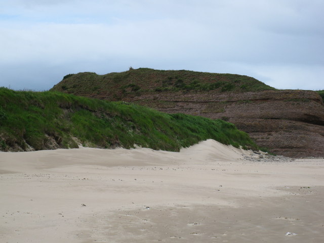
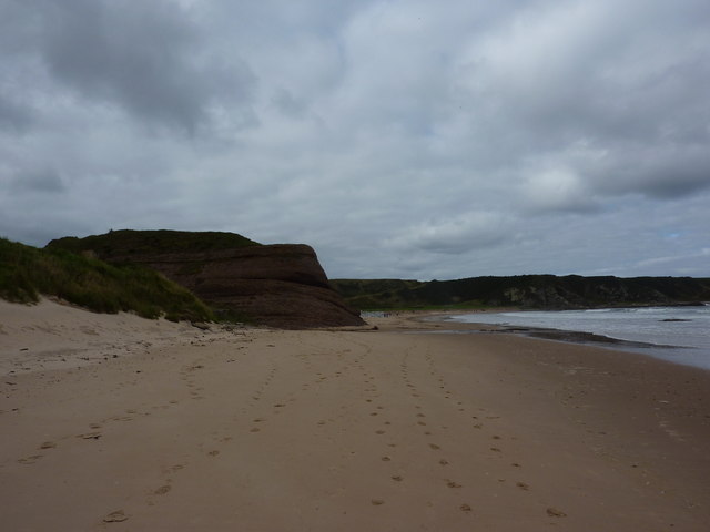
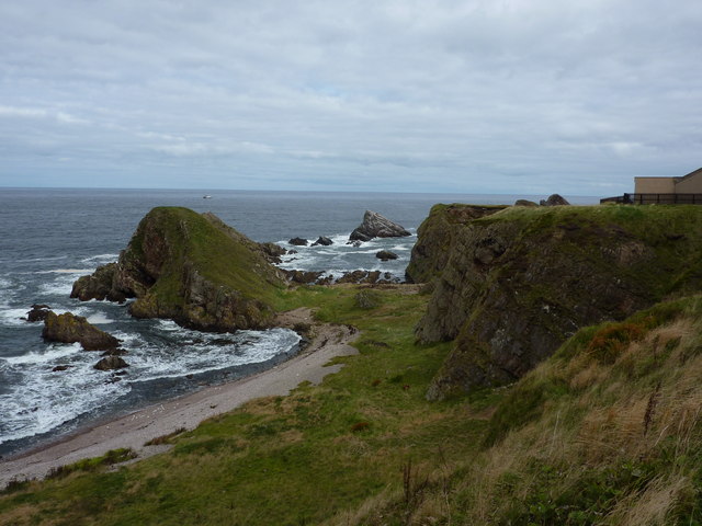
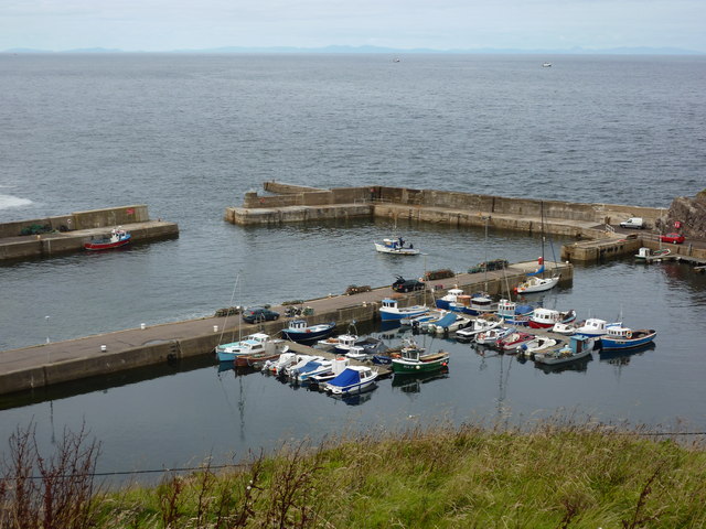
Covering an area of approximately 5 square miles, Red Foot is characterized by its rugged coastline, with cliffs and rocky shores giving way to sandy beaches in certain areas. The island is largely uninhabited, with only a handful of residents who primarily engage in fishing and agriculture.
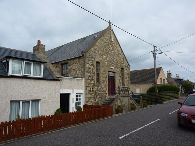
The island's history dates back centuries, with evidence of human occupation as far back as the Neolithic period. Red Foot has been influenced by various civilizations throughout history, including the Picts, Vikings, and Scots. Ruins of ancient settlements and standing stones can still be found on the island, serving as reminders of its past.
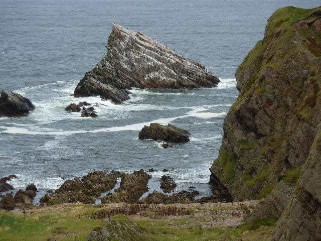
Red Foot is a haven for birdwatchers and nature enthusiasts, as it is home to a wide variety of bird species, including puffins, gannets, and guillemots. Seals and dolphins can also be spotted in the surrounding waters.
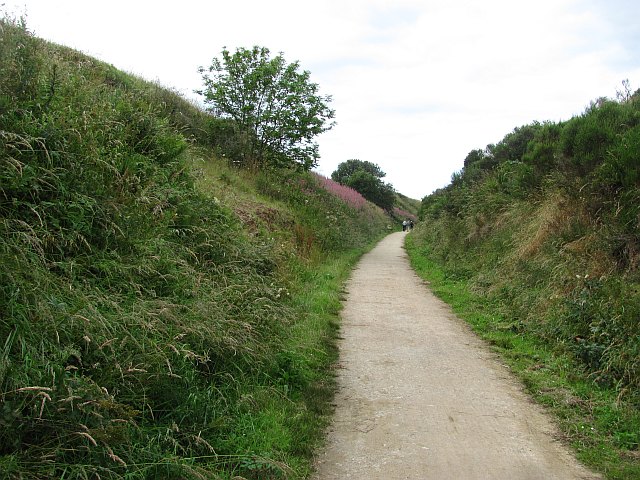
Access to Red Foot is primarily by boat, with regular ferry services from nearby towns. The island offers a peaceful escape from the bustling mainland, providing visitors with opportunities for hiking, wildlife observation, and exploring its historical sites.
If you have any feedback on the listing, please let us know in the comments section below.
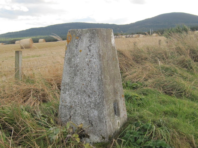
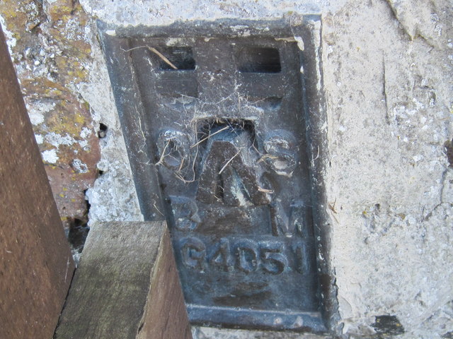
Red Foot Images
Images are sourced within 2km of 57.705794/-2.8473025 or Grid Reference NJ4968. Thanks to Geograph Open Source API. All images are credited.
Red Foot is located at Grid Ref: NJ4968 (Lat: 57.705794, Lng: -2.8473025)
Unitary Authority: Moray
Police Authority: North East
What 3 Words
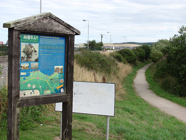
///admiringly.callers.fond. Near Portknockie, Moray
Nearby Locations
Related Wikis

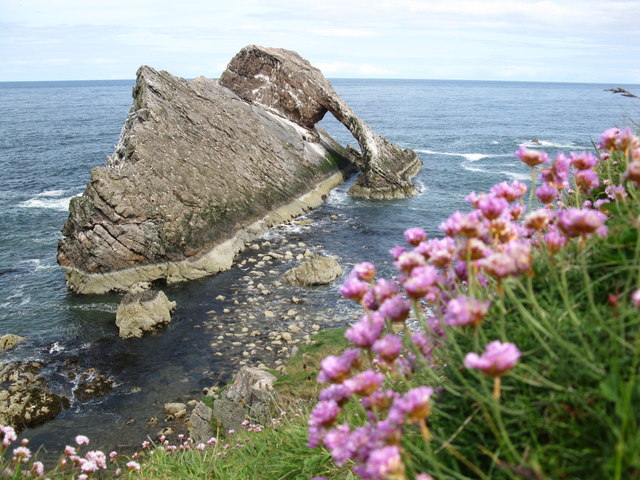
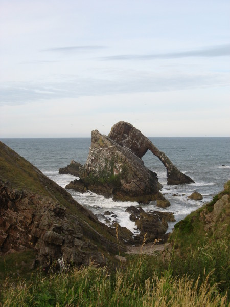
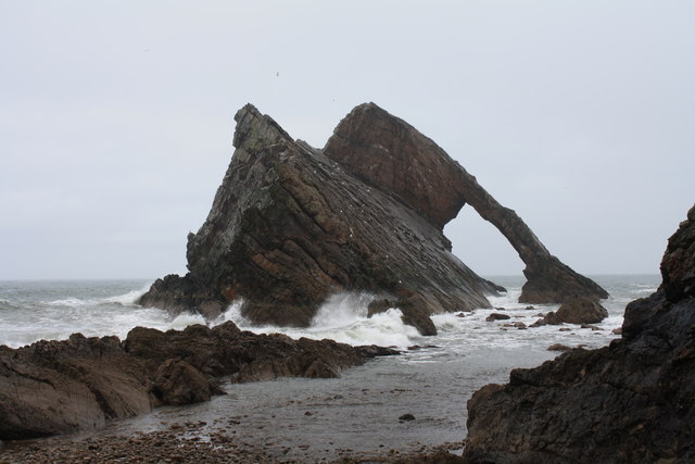
Bow Fiddle Rock
Bow Fiddle Rock is a natural sea arch near Portknockie on the north-eastern coast of Scotland. It is so called because it resembles the tip of a fiddle...

Green Castle, Portknockie
Green Castle is a naturally defended rocky outcrop in the village of Portknockie in Moray, Scotland, that was occupied successively by small promontory...

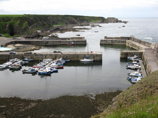
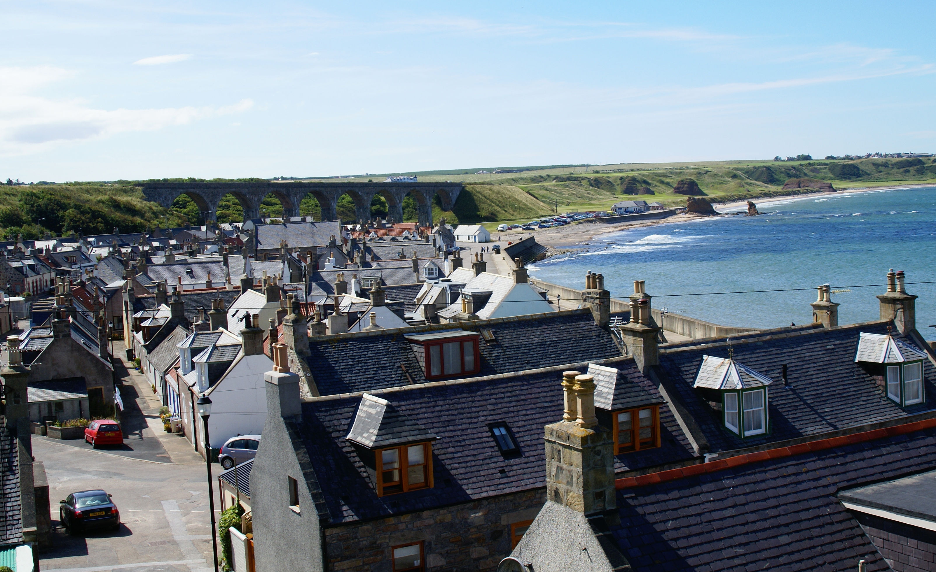
Portknockie
Portknockie (Scottish Gaelic: Port Chnocaidh, the hilly port) is a coastal village on the Moray Firth within Moray, Scotland. The village's name is written...
Portknockie railway station
Portknockie railway station was a railway station that served the small fishing village of Portknockie, close to Cullen in Moray. The railway station was...
Tronach Castle
Tronach Castle was a castle, about 0.5 miles (0.80 km) east of Portknockie, Moray, Scotland, near the shore. == Description == The first Statistical Account...
Cullen Castle
Cullen Castle was a royal castle about 0.5 miles (0.80 km) west of Cullen, Moray, Scotland, west of the burn of Deskford, and south of Seatown. The remains...
Cullen, Moray
Cullen (Scottish Gaelic: Inbhir Cuilinn) is a village and former royal burgh in Moray but historically in Banffshire, Scotland, on the North Sea coast...

Cullen Town Hall
Cullen Town Hall is a municipal building in The Square, Cullen, Moray, Scotland. The structure, which is currently used as a heritage centre, is a Category...
Nearby Amenities
Located within 500m of 57.705794,-2.8473025Have you been to Red Foot?
Leave your review of Red Foot below (or comments, questions and feedback).