Linda Geo
Coastal Feature, Headland, Point in Orkney
Scotland
Linda Geo
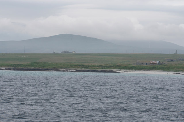
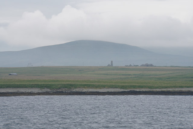
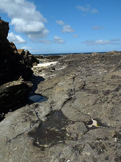
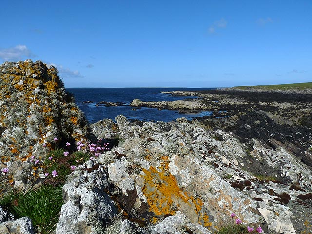
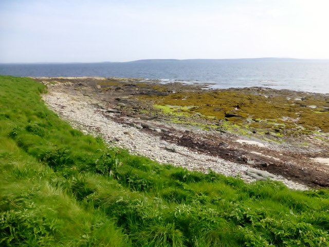
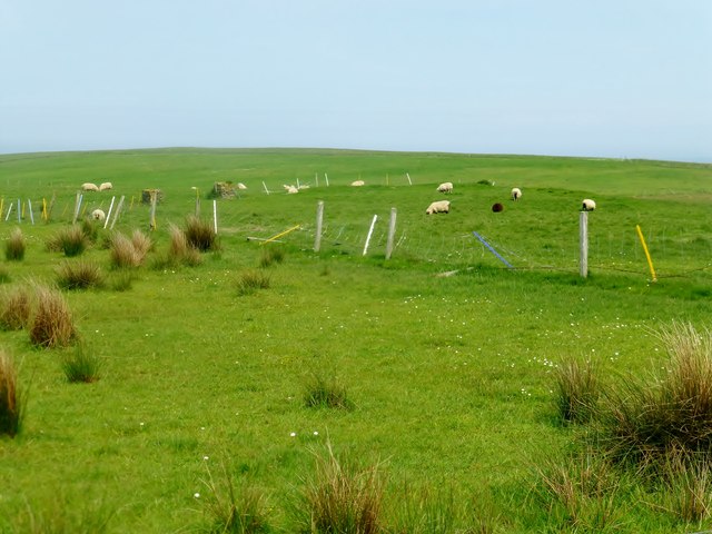
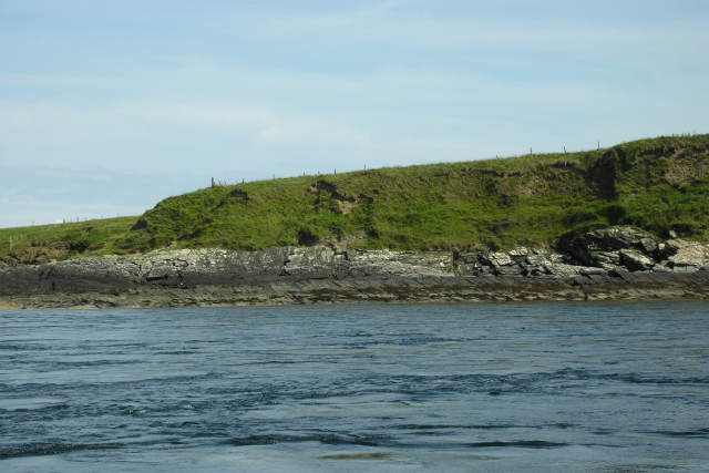
Linda Geo is a prominent coastal feature located in Orkney, a group of islands situated off the northeastern coast of Scotland. It is classified as a headland or point, jutting out into the North Sea. Linda Geo is known for its rugged and dramatic landscape, characterized by steep cliffs and rocky terrain.
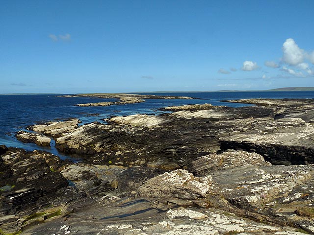
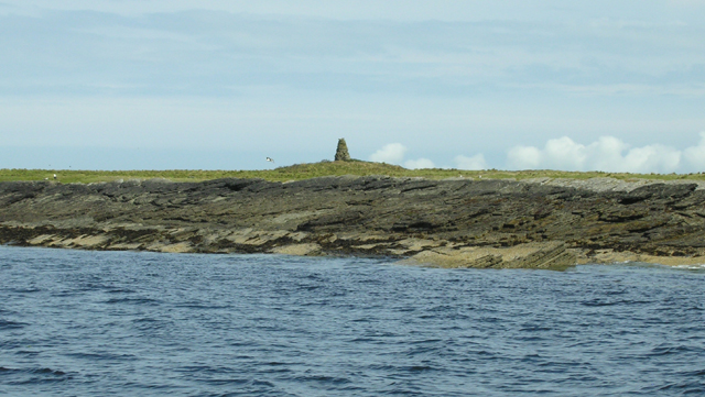
The headland is primarily composed of sedimentary rocks, such as sandstone and shale, which have been weathered and eroded over time by the relentless forces of the sea. This erosion has created striking geological formations, including sea stacks, caves, and natural arches, adding to the area's allure.
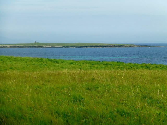
Linda Geo offers breathtaking panoramic views of the surrounding coastline and the vast expanse of the North Sea. Its elevated position provides an ideal vantage point for spotting marine wildlife, such as seals, dolphins, and various seabird species, including puffins and gannets.
The headland is also of historical significance, with evidence of human occupation dating back thousands of years. Archaeological sites, such as ancient settlements and burial mounds, have been discovered in the vicinity, providing valuable insights into the region's past.
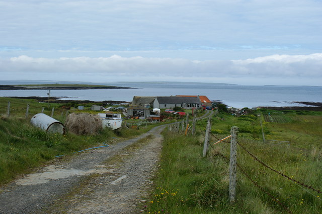
Linda Geo attracts both nature enthusiasts and history buffs, offering a unique blend of natural beauty and cultural heritage. Visitors can explore the rugged coastal trails, enjoy birdwatching opportunities, or simply soak in the awe-inspiring surroundings. Whether it's the captivating geological formations or the rich history, Linda Geo is undoubtedly a must-visit destination for those seeking an authentic coastal experience in Orkney.
If you have any feedback on the listing, please let us know in the comments section below.
Linda Geo Images
Images are sourced within 2km of 59.176669/-2.9158576 or Grid Reference HY4732. Thanks to Geograph Open Source API. All images are credited.

Linda Geo is located at Grid Ref: HY4732 (Lat: 59.176669, Lng: -2.9158576)
Unitary Authority: Orkney Islands
Police Authority: Highlands and Islands
What 3 Words
///bibs.unlucky.tumblers. Near Brinian, Orkney Islands
Nearby Locations
Related Wikis

Kili Holm
Kili Holm is a tidal island in the Orkney Islands, linked to Egilsay. Unusually, like its neighbour Egilsay, it may have a partly Gaelic etymology, in...

Holm of Scockness
The Holm of Scockness is a small island in the Orkney Islands, between Rousay and Egilsay. It is currently used for grazing. Its name is Norse in origin...

St Magnus Church, Egilsay
St Magnus's Church is a ruined medieval church located on the island of Egilsay, in Orkney, Scotland. The site is recognized as the place of execution...

Egilsay
Egilsay (, Scots: Egilsay) is one of the Orkney Islands in Scotland, lying east of Rousay. The island is largely farmland and is known for its corncrakes...
Related Videos

Orkney 2022-08-16 Egilsay
This is my tour around the small island of Egilsay. Started off super cold and windy, eventually brightening up. Visibility got much ...

St Magnus Church With Music On History Visit To Island Of Egilsay Orkney Islands Scotland
Tour Scotland short 4K travel video clip, with Scottish music, on ancestry, genealogy family history visit and trip to St Magnus's ...
Nearby Amenities
Located within 500m of 59.176669,-2.9158576Have you been to Linda Geo?
Leave your review of Linda Geo below (or comments, questions and feedback).