Marlow

Coastal Feature, Headland, Point in Orkney

Scotland

Marlow

Mae Ness A very low headland on Egilsay. St Magnus Church is in the centre, while Knitchen Hill on Rousay stands behind.
Mae Ness Credit: Bill Boaden

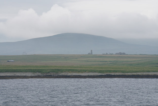
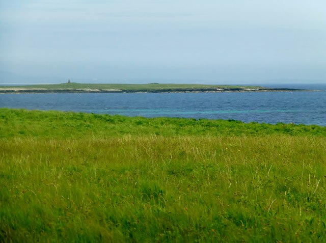
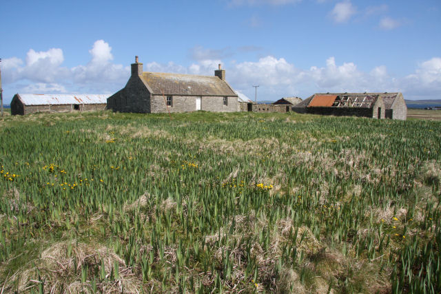
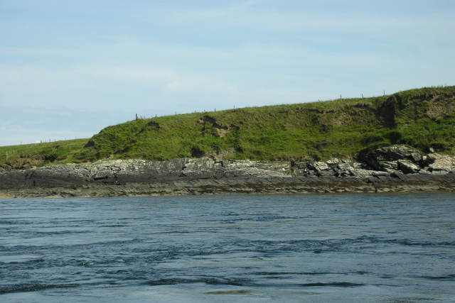
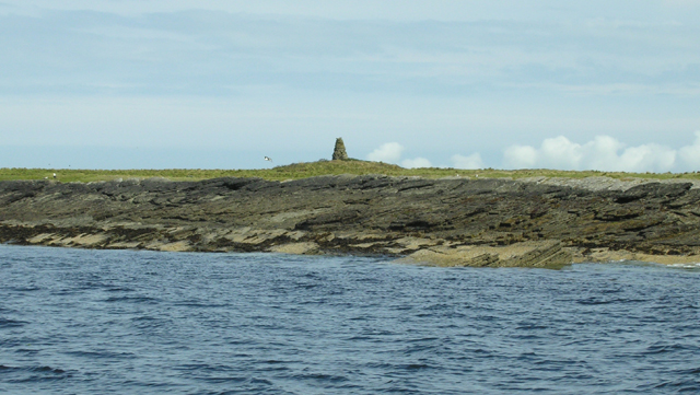
Marlow is a captivating coastal feature located in the Orkney Islands, an archipelago situated off the northeastern coast of Scotland. It stands proudly as a prominent headland that juts out into the North Sea, offering breathtaking views of the surrounding landscape.

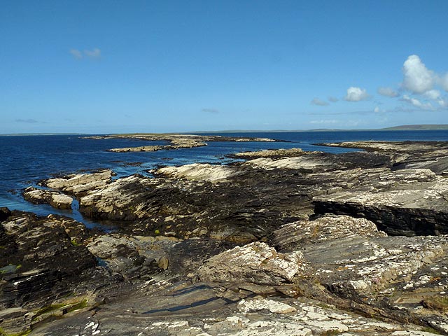
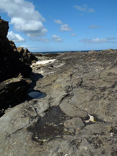
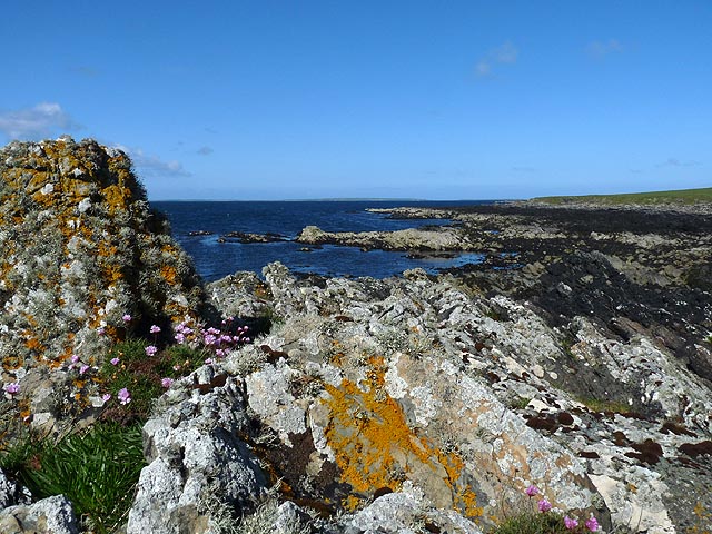
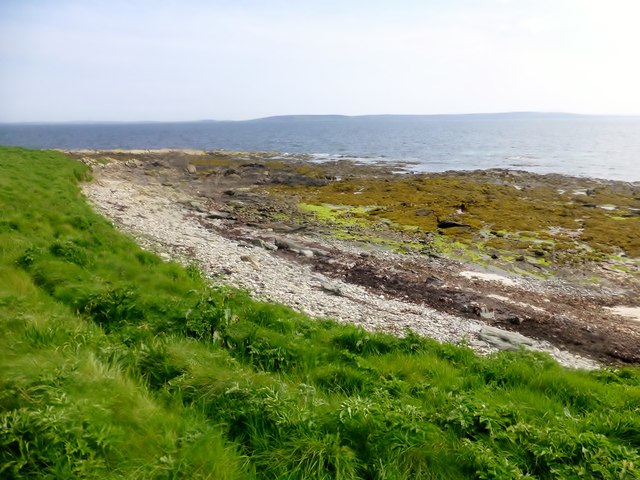
This headland, also referred to as Marlow Point, is known for its dramatic cliffs that rise majestically from the sea. The cliffs display an array of striking geological formations, showcasing layers of sedimentary rocks that have been gradually shaped by the forces of nature over millions of years. The interplay of colors and textures on these cliffs is a sight to behold, ranging from vibrant reds and oranges to softer greys and greens.

Marlow is a haven for wildlife enthusiasts, offering a sanctuary for various seabird colonies. Puffins, guillemots, and kittiwakes can be spotted perched on the cliff edges, while fulmars soar gracefully above the crashing waves. The area surrounding Marlow is also home to seals, which can often be seen lounging on the rocks or swimming in the nearby waters.

Visitors to Marlow can explore the headland by following well-maintained walking trails that wind their way along the cliff edges. These paths provide an opportunity to immerse oneself in the breathtaking scenery while enjoying the invigorating ocean breeze.

Marlow is a captivating coastal feature that combines stunning geological formations, abundant wildlife, and awe-inspiring vistas, making it a must-visit destination for nature enthusiasts and adventurers alike.

If you have any feedback on the listing, please let us know in the comments section below.

Marlow Images

Images are sourced within 2km of 59.17612/-2.9224563 or Grid Reference HY4732. Thanks to Geograph Open Source API. All images are credited.

Mae Ness A very low headland on Egilsay. St Magnus Church is in the centre, while Knitchen Hill on Rousay stands behind.
Mae Ness
A very low headland on Egilsay. St Magnus Church is in the centre, while Knitchen Hill on Rousay stands behind.
Mae Ness, Egilsay, Orkney Looking towards high ground on the other islands of Rousay and Westray (left and right respectively).
Mae Ness, Egilsay, Orkney
Looking towards high ground on the other islands of Rousay and Westray (left and right respectively).
Coastline, Egilsay, Orkney Looking towards Smithy Sound and Kili Holm.
Coastline, Egilsay, Orkney
Looking towards Smithy Sound and Kili Holm.
Watten, Egilsay, Orkney Looking towards Loch of Watten.

The llama is called Harvey.
Watten, Egilsay, Orkney
Looking towards Loch of Watten. The llama is called Harvey.
Point of Crook, Egilsay, Orkney
Coastline, Egilsay, Orkney
Near Mae Ness, Egilsay
View Towards Kili Holm A view across the coastal grassland on north Egilsay towards the island of Kili Holm with its cairn.
View Towards Kili Holm
A view across the coastal grassland on north Egilsay towards the island of Kili Holm with its cairn.
Sheep On Egilsay
Sheep On Egilsay
Grugar, Egilsay A deserted farm near the centre of the island, slowly become dilapidated.
Grugar, Egilsay
A deserted farm near the centre of the island, slowly become dilapidated.
Cliff below Knowes of Howe from Howie Sound A low lying sandstone cliff typical of the North end of Egilsay. There is an interesting cave round the corner on the left of the photograph. Note the fast tidal streams that run the length of Howie Sound.
Cliff below Knowes of Howe from Howie Sound
A low lying sandstone cliff typical of the North end of Egilsay. There is an interesting cave round the corner on the left of the photograph. Note the fast tidal streams that run the length of Howie Sound.
Cairn on Kili Holm Kili Holm is a sandstone bedrock skerry with a thin veneer of peaty topsoil. The surrounding water is very shallow with many dangerous reefs. Home to several common seals.
Cairn on Kili Holm
Kili Holm is a sandstone bedrock skerry with a thin veneer of peaty topsoil. The surrounding water is very shallow with many dangerous reefs. Home to several common seals.
Weyland , Egilsay Croft on the northern coast of the island of Egilsay.
Kili Holm island in the distance on the left.
Weyland , Egilsay
Croft on the northern coast of the island of Egilsay. Kili Holm island in the distance on the left.
Show me another place!

Marlow is located at Grid Ref: HY4732 (Lat: 59.17612, Lng: -2.9224563)

Unitary Authority: Orkney Islands

Police Authority: Highlands and Islands

What 3 Words

///outs.entitle.landscape. Near Brinian, Orkney Islands

Related Wikis

Kili Holm

Kili Holm is a tidal island in the Orkney Islands, linked to Egilsay. Unusually, like its neighbour Egilsay, it may have a partly Gaelic etymology, in...

Holm of Scockness

The Holm of Scockness is a small island in the Orkney Islands, between Rousay and Egilsay. It is currently used for grazing. Its name is Norse in origin...

St Magnus Church, Egilsay

St Magnus's Church is a ruined medieval church located on the island of Egilsay, in Orkney, Scotland. The site is recognized as the place of execution...

Egilsay

Egilsay (, Scots: Egilsay) is one of the Orkney Islands in Scotland, lying east of Rousay. The island is largely farmland and is known for its corncrakes...

Nearby Amenities

Located within 500m of 59.17612,-2.9224563
Edge slabs from a prehistoric house
Historic: archaeological_site
Lat/Long: 59.1773522/-2.9179155
Modern marker cairn - possible site of prehistoric house
Historic: archaeological_site
Lat/Long: 59.1767881/-2.9190164
The data included in this document is from www.openstreetmap.org. The data is made available under ODbL.

Have you been to Marlow?

Leave your review of Marlow below (or comments, questions and feedback).