Kili Holm

Island in Orkney

Scotland

Kili Holm

Beach below Maeness A view of Egilsay from a passing ferry, though the hills behind are on Rousay. St Magnus Church is far right.
Beach below Maeness Credit: Bill Boaden

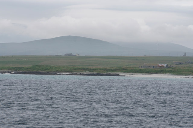
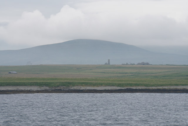
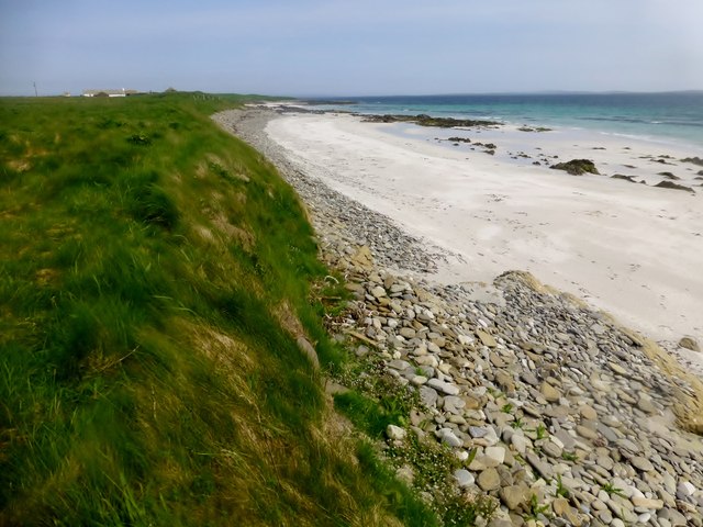
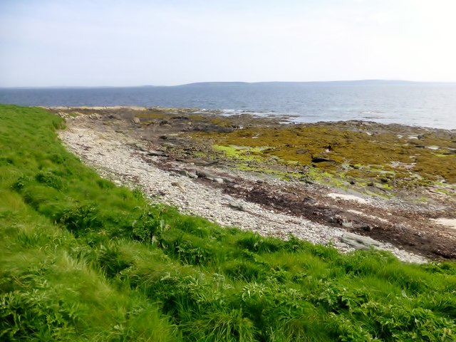
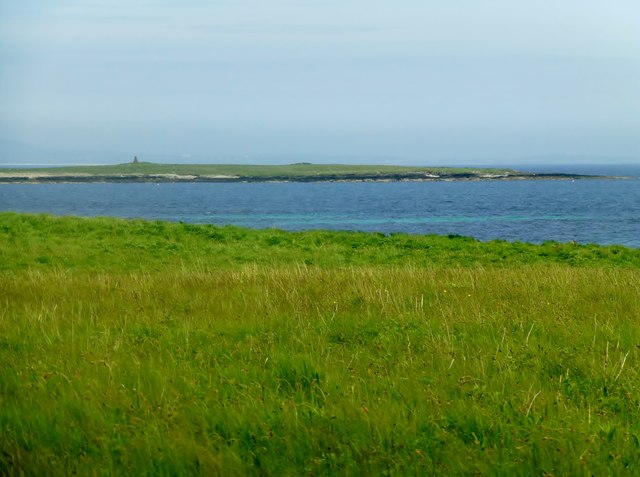
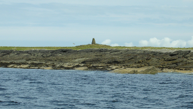
Kili Holm is a small uninhabited island located in the Orkney archipelago, off the northern coast of Scotland. It is situated approximately 1.2 kilometers northeast of the island of Sanday. With an area of about 1.5 hectares, Kili Holm is one of the smaller islands in the Orkney group.

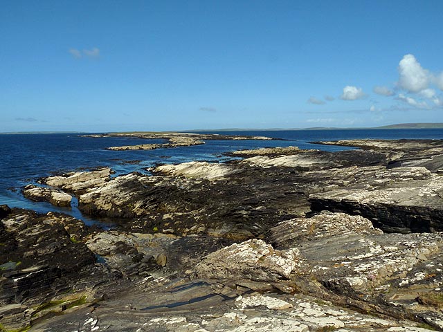
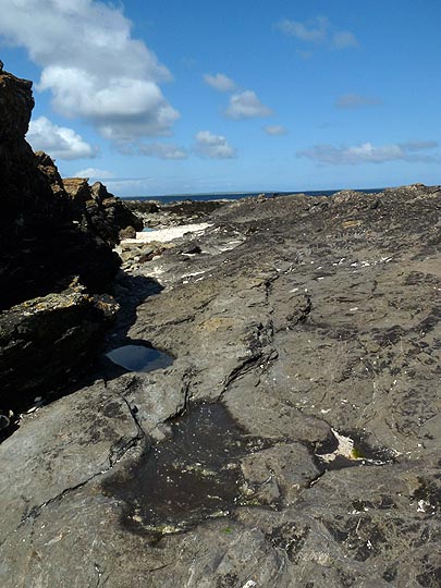
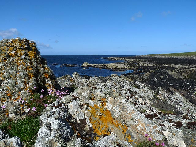
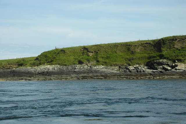
The island is characterized by its rugged and rocky terrain, with steep cliffs rising up to 17 meters on its southern side. The surrounding waters are known for their strong currents and can be treacherous for navigation, making Kili Holm an isolated and difficult-to-reach destination.

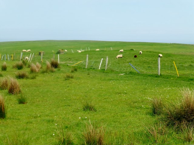
Despite its uninhabited status, Kili Holm is home to a variety of seabird species, including puffins, guillemots, and razorbills. These birds use the island's cliffs and rocky outcrops as nesting sites during the breeding season.

Kili Holm's historical significance is also noteworthy. The island is believed to have been a spiritual and ritual site during the Neolithic period, with evidence of ancient burial grounds and structures. Archaeological excavations have uncovered artefacts and remains that provide insights into the island's early human inhabitants.

Today, Kili Holm remains largely untouched by human presence, serving as a protected natural habitat and archaeological site. Visitors interested in birdwatching, wildlife, or ancient history can arrange guided tours to explore the island's unique landscapes and cultural heritage.

If you have any feedback on the listing, please let us know in the comments section below.

Kili Holm Images

Images are sourced within 2km of 59.17524/-2.9211029 or Grid Reference HY4732. Thanks to Geograph Open Source API. All images are credited.

Beach below Maeness A view of Egilsay from a passing ferry, though the hills behind are on Rousay. St Magnus Church is far right.
Beach below Maeness
A view of Egilsay from a passing ferry, though the hills behind are on Rousay. St Magnus Church is far right.
Mae Ness A very low headland on Egilsay. St Magnus Church is in the centre, while Knitchen Hill on Rousay stands behind.
Mae Ness
A very low headland on Egilsay. St Magnus Church is in the centre, while Knitchen Hill on Rousay stands behind.
Mae Ness, Egilsay, Orkney Looking towards high ground on the other islands of Rousay and Westray (left and right respectively).
Mae Ness, Egilsay, Orkney
Looking towards high ground on the other islands of Rousay and Westray (left and right respectively).
Coastline, Egilsay, Orkney Looking towards Smithy Sound and Kili Holm.
Coastline, Egilsay, Orkney
Looking towards Smithy Sound and Kili Holm.
Watten, Egilsay, Orkney Looking towards Loch of Watten.

The llama is called Harvey.
Watten, Egilsay, Orkney
Looking towards Loch of Watten. The llama is called Harvey.
Point of Crook, Egilsay, Orkney
Coastline, Egilsay, Orkney
Coastal View Towards Maeness A coastal via along the eastern coast of Egilsay towards Maeness.
Coastal View Towards Maeness
A coastal via along the eastern coast of Egilsay towards Maeness.
Near Mae Ness, Egilsay
View Towards Kili Holm A view across the coastal grassland on north Egilsay towards the island of Kili Holm with its cairn.
View Towards Kili Holm
A view across the coastal grassland on north Egilsay towards the island of Kili Holm with its cairn.
Sheep On Egilsay
Sheep On Egilsay
Grugar, Egilsay A deserted farm near the centre of the island, slowly become dilapidated.
Grugar, Egilsay
A deserted farm near the centre of the island, slowly become dilapidated.
Cliff below Knowes of Howe from Howie Sound A low lying sandstone cliff typical of the North end of Egilsay. There is an interesting cave round the corner on the left of the photograph. Note the fast tidal streams that run the length of Howie Sound.
Cliff below Knowes of Howe from Howie Sound
A low lying sandstone cliff typical of the North end of Egilsay. There is an interesting cave round the corner on the left of the photograph. Note the fast tidal streams that run the length of Howie Sound.
Cairn on Kili Holm Kili Holm is a sandstone bedrock skerry with a thin veneer of peaty topsoil. The surrounding water is very shallow with many dangerous reefs. Home to several common seals.
Cairn on Kili Holm
Kili Holm is a sandstone bedrock skerry with a thin veneer of peaty topsoil. The surrounding water is very shallow with many dangerous reefs. Home to several common seals.
Weyland , Egilsay Croft on the northern coast of the island of Egilsay.
Kili Holm island in the distance on the left.
Weyland , Egilsay
Croft on the northern coast of the island of Egilsay. Kili Holm island in the distance on the left.
Show me another place!

Kili Holm is located at Grid Ref: HY4732 (Lat: 59.17524, Lng: -2.9211029)

Unitary Authority: Orkney Islands

Police Authority: Highlands and Islands

What 3 Words

///symphonic.glares.chill. Near Brinian, Orkney Islands

Related Wikis

Kili Holm

Kili Holm is a tidal island in the Orkney Islands, linked to Egilsay. Unusually, like its neighbour Egilsay, it may have a partly Gaelic etymology, in...

Holm of Scockness

The Holm of Scockness is a small island in the Orkney Islands, between Rousay and Egilsay. It is currently used for grazing. Its name is Norse in origin...

St Magnus Church, Egilsay

St Magnus's Church is a ruined medieval church located on the island of Egilsay, in Orkney, Scotland. The site is recognized as the place of execution...

Egilsay

Egilsay (, Scots: Egilsay) is one of the Orkney Islands in Scotland, lying east of Rousay. The island is largely farmland and is known for its corncrakes...

Nearby Amenities

Located within 500m of 59.17524,-2.9211029
Edge slabs from a prehistoric house
Historic: archaeological_site
Lat/Long: 59.1773522/-2.9179155
Modern marker cairn - possible site of prehistoric house
Historic: archaeological_site
Lat/Long: 59.1767881/-2.9190164
The data included in this document is from www.openstreetmap.org. The data is made available under ODbL.

Have you been to Kili Holm?

Leave your review of Kili Holm below (or comments, questions and feedback).