Smithy Sound
Sea, Estuary, Creek in Orkney
Scotland
Smithy Sound
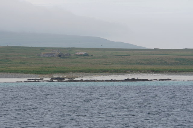
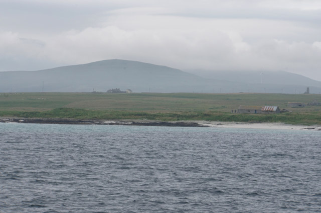
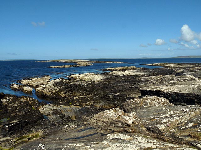
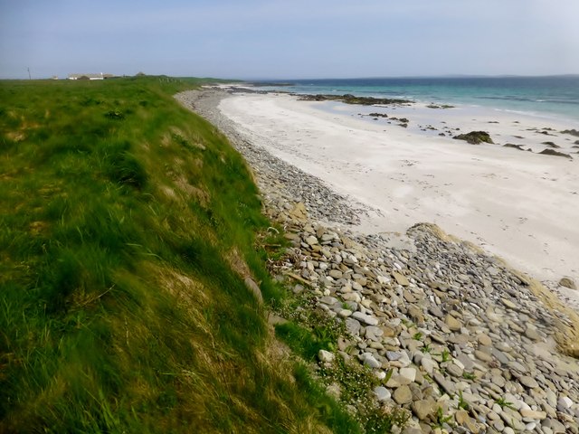
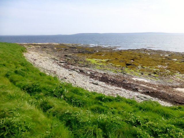
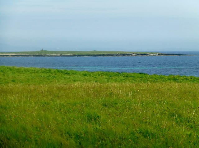
Smithy Sound is a narrow body of water located in the Orkney Islands, an archipelago situated off the northeastern coast of Scotland. It serves as an important sea passage connecting the North Sea to the Atlantic Ocean. The sound separates the islands of Burray and South Ronaldsay, and its strategic location has made it a vital shipping route throughout history.
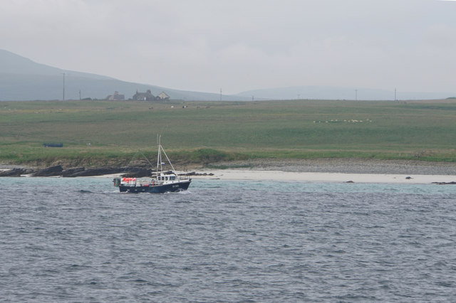
As a sea channel, Smithy Sound experiences strong tidal currents due to the surrounding geography. The tidal range can reach up to 5 meters, creating turbulent waters that require skilled navigation. These tidal currents, along with the sound's narrow width, make it essential for vessels to carefully time their passage through the channel.
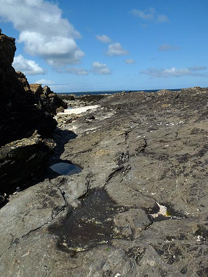
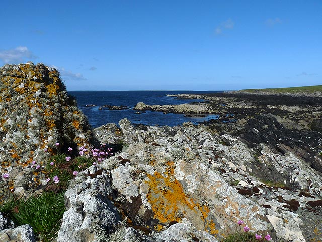
The estuary formed by Smithy Sound is home to a diverse range of marine life. The nutrient-rich waters attract an abundance of fish, making it a popular spot for fishing enthusiasts. Seals can also be spotted basking on the rocks along the shorelines.
The sound's name, "Smithy," is believed to come from the presence of a blacksmith shop that once operated near its shores. Today, the sound is primarily used for transportation purposes, providing a vital link between the islands. Ferries regularly cross the sound, transporting locals and tourists alike.
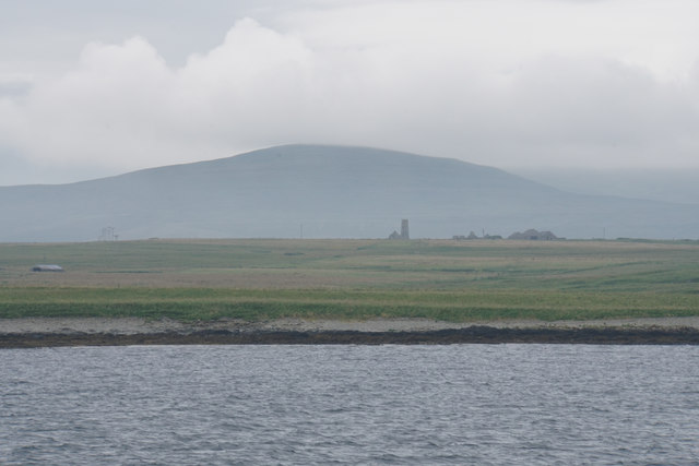
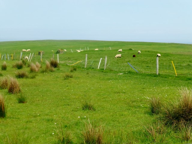
Smithy Sound offers breathtaking views of the surrounding coastal landscapes, with rolling green hills and rugged cliffs. It serves as a gateway to the natural beauty and rich history of the Orkney Islands, making it a significant and cherished feature of the region.
If you have any feedback on the listing, please let us know in the comments section below.
Smithy Sound Images
Images are sourced within 2km of 59.172584/-2.9182325 or Grid Reference HY4732. Thanks to Geograph Open Source API. All images are credited.


Smithy Sound is located at Grid Ref: HY4732 (Lat: 59.172584, Lng: -2.9182325)
Unitary Authority: Orkney Islands
Police Authority: Highlands and Islands
What 3 Words
///overdrive.pastels.camper. Near Brinian, Orkney Islands
Nearby Locations
Related Wikis

Kili Holm
Kili Holm is a tidal island in the Orkney Islands, linked to Egilsay. Unusually, like its neighbour Egilsay, it may have a partly Gaelic etymology, in...

Holm of Scockness
The Holm of Scockness is a small island in the Orkney Islands, between Rousay and Egilsay. It is currently used for grazing. Its name is Norse in origin...

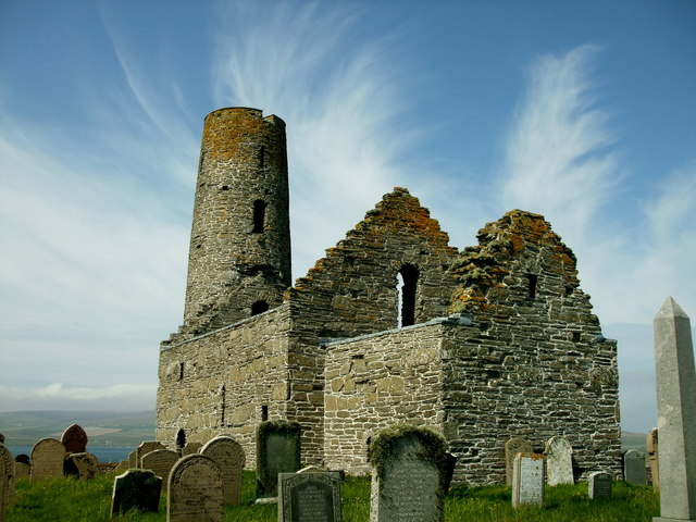
St Magnus Church, Egilsay
St Magnus's Church is a ruined medieval church located on the island of Egilsay, in Orkney, Scotland. The site is recognized as the place of execution...

Egilsay
Egilsay (, Scots: Egilsay) is one of the Orkney Islands in Scotland, lying east of Rousay. The island is largely farmland and is known for its corncrakes...
Nearby Amenities
Located within 500m of 59.172584,-2.9182325Have you been to Smithy Sound?
Leave your review of Smithy Sound below (or comments, questions and feedback).