Ling Geo
Coastal Feature, Headland, Point in Orkney
Scotland
Ling Geo
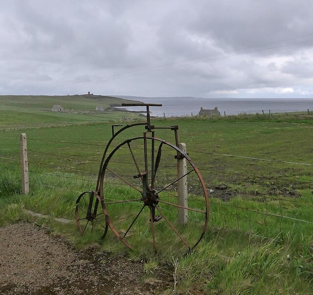
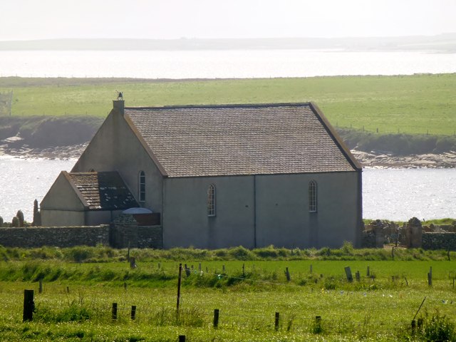
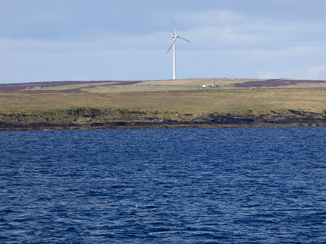
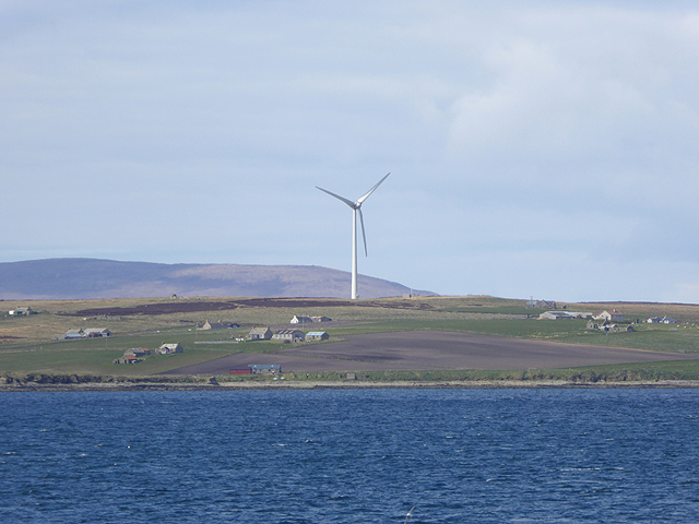
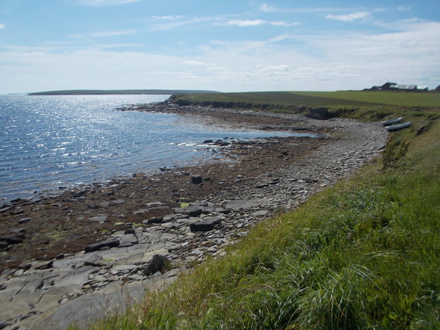
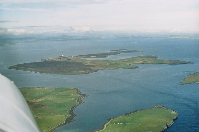
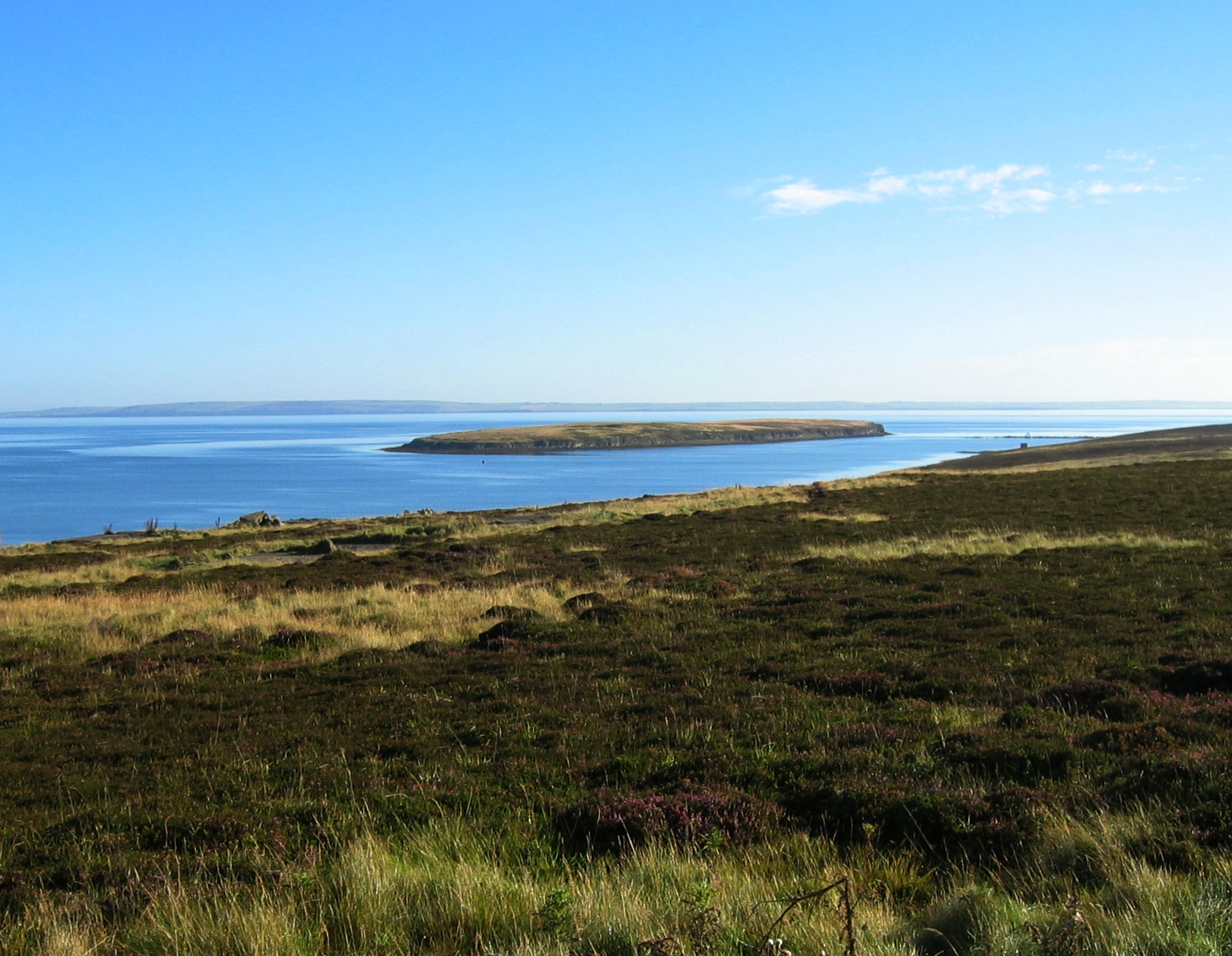
Ling Geo is a prominent coastal feature located on the island of Orkney, situated off the northeastern coast of Scotland. It is a headland or point that extends into the North Atlantic Ocean, offering stunning views of the surrounding seascape.
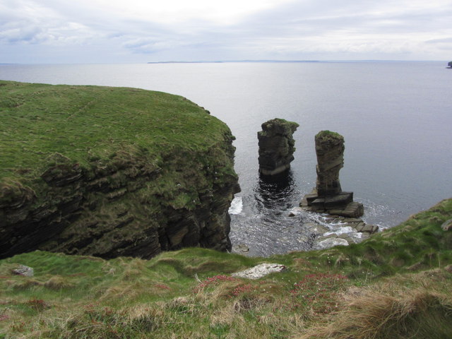
Rising majestically from the rugged coastline, Ling Geo is characterized by its towering cliffs, reaching heights of up to 100 feet. The cliffs are composed of sedimentary rock formations, displaying layers of sandstone, shale, and limestone, providing a glimpse into the geological history of the area.
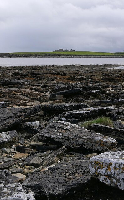
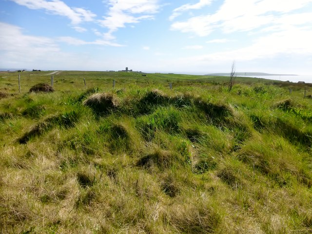
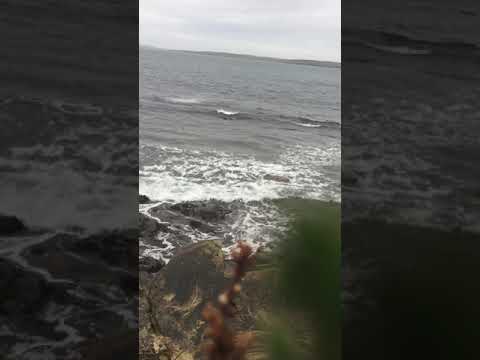
The headland is renowned for its dramatic landscape, with its rugged terrain, jagged rocks, and deep crevices carved by the relentless pounding of the waves. It is frequented by seabirds, such as guillemots, puffins, and fulmars, making it a popular destination for birdwatchers and nature enthusiasts.
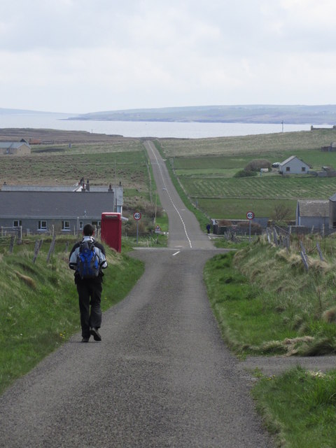
Access to Ling Geo can be challenging due to its remote location and the absence of designated paths. However, its wild and untamed beauty attracts intrepid hikers and photographers who are rewarded with breathtaking panoramic vistas of the surrounding coastline and the vast expanse of the Atlantic Ocean.
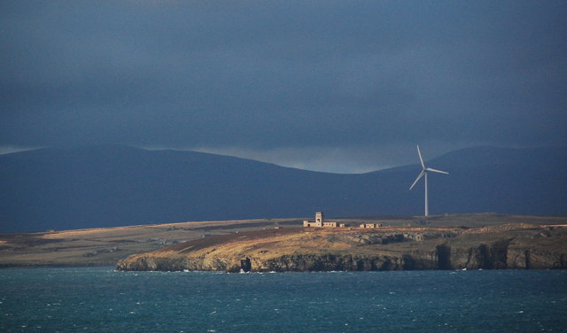
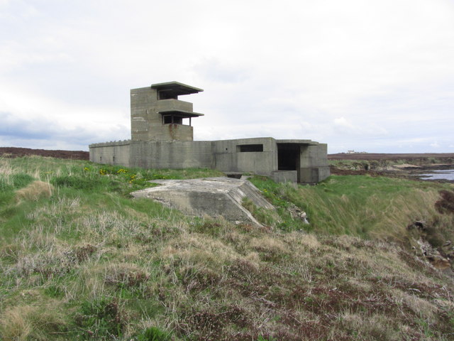
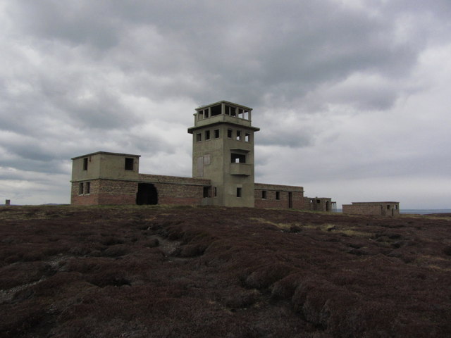
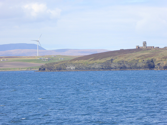
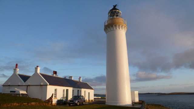
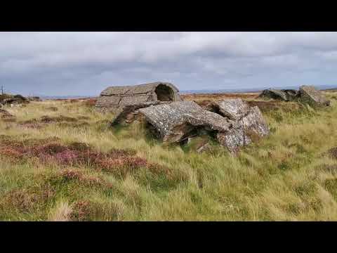
Ling Geo also holds historical significance, as it was once a strategic lookout point for Viking raiders who frequented the Orkney Islands. The remains of an ancient watchtower can still be seen atop the headland, serving as a reminder of the area's rich heritage.
In conclusion, Ling Geo is a captivating coastal feature on the island of Orkney, offering a unique blend of natural beauty, geological wonders, and historical significance. It is a must-visit destination for those seeking a true sense of adventure and an opportunity to immerse themselves in the raw power of nature.
If you have any feedback on the listing, please let us know in the comments section below.
Ling Geo Images
Images are sourced within 2km of 58.817382/-3.0920308 or Grid Reference ND3792. Thanks to Geograph Open Source API. All images are credited.


Ling Geo is located at Grid Ref: ND3792 (Lat: 58.817382, Lng: -3.0920308)
Unitary Authority: Orkney Islands
Police Authority: Highlands and Islands
What 3 Words
///tenure.peachy.guesswork. Near Lyness, Orkney Islands
Nearby Locations
Related Wikis

Whome
Whome is the largest settlement on the Orkney island of Flotta, Scotland. The village is situated on the B9046, the main road across Flotta. Views from...
Flotta
Flotta () is a small island in Orkney, Scotland, lying in Scapa Flow. The island is known for its large oil terminal and is linked by Orkney Ferries to...

Switha
Switha is a small uninhabited island towards the south of Orkney, Scotland, approximately 41 hectares in area. == Geography and geology == Switha lies...

Hackness Martello Tower and Battery
Hackness Martello Tower and Battery is a British Army barracks and museum located on the island of South Walls, in Orkney, Scotland. == History == The...
Cantick Head Lighthouse
The Cantick Head Lighthouse is an active 19th century lighthouse on the Scottish island of South Walls in the Orkney Islands. It is located at the end...
Calf of Flotta
The Calf of Flotta is a small island in Scapa Flow, Orkney. The Calf is next to Flotta, with "Calf" deriving from Old Norse/Norn and meaning a smaller...

HMS Vanguard (1909)
HMS Vanguard was one of three St Vincent-class dreadnought battleships built for the Royal Navy in the first decade of the 20th century. She spent her...

Crockness Martello tower
Crockness Martello Tower is a Martello Tower on Hoy, Orkney, Scotland. It was built during the Napoleonic Wars, at the same time as the Martello Tower...
Related Videos
Flotta Z Battery.
Brief walkabout of the Z Battery on Flotta, Orkney.
Souls cleansing meditation (Orkney Scotland 🏴)
Natural beauty of Scotland's beautiful North Sea.
Nearby Amenities
Located within 500m of 58.817382,-3.0920308Have you been to Ling Geo?
Leave your review of Ling Geo below (or comments, questions and feedback).