Scabra Head
Coastal Feature, Headland, Point in Orkney
Scotland
Scabra Head
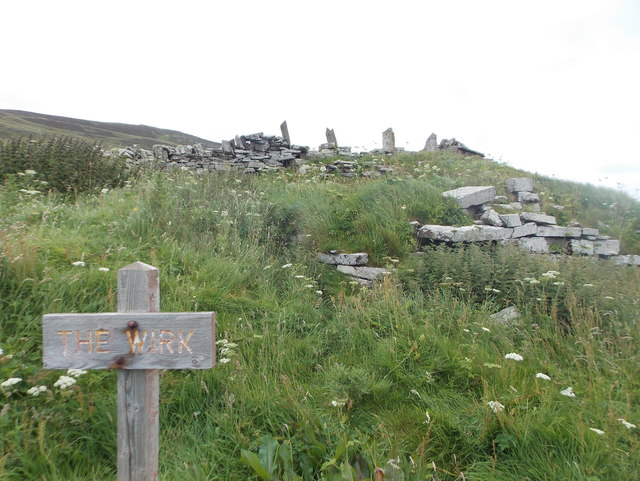
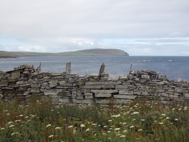
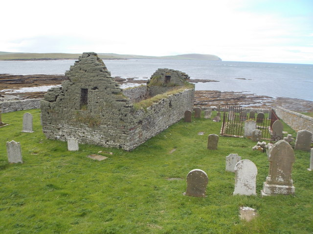
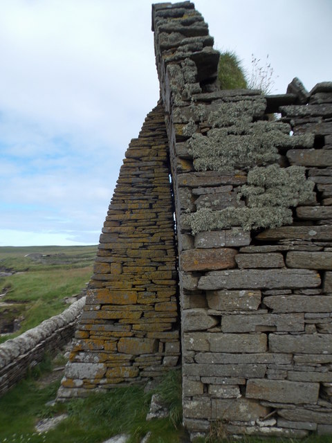
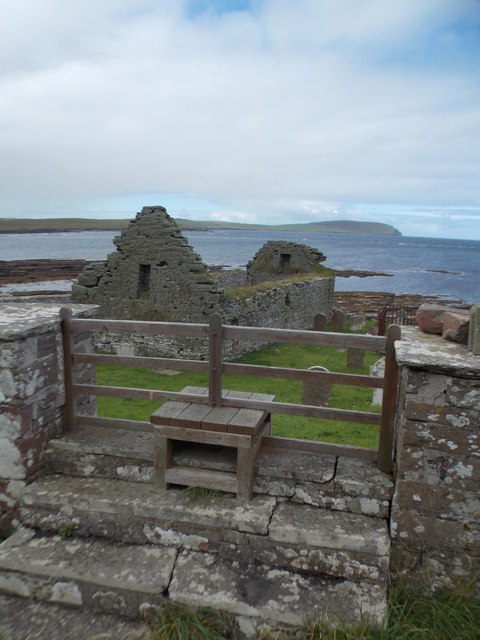
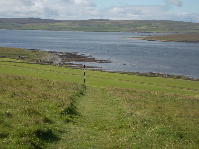
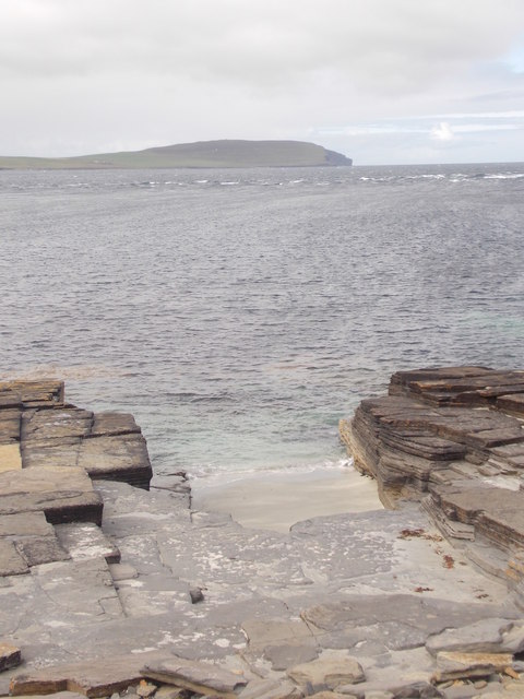
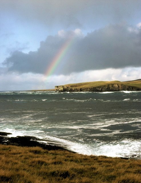
Scabra Head is a prominent coastal feature located in Orkney, an archipelago in Scotland. This headland, also known as a point, is situated on the northeastern coast of the island and offers breathtaking views of the North Sea. Scabra Head is characterized by its rugged cliffs, which rise dramatically from the water and provide a stark contrast against the surrounding landscape.
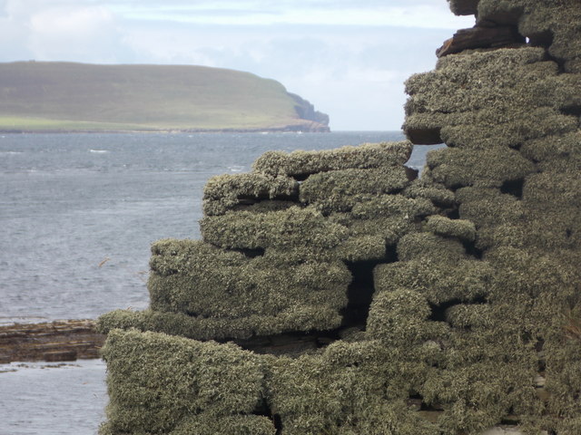
The headland is formed by layers of Old Red Sandstone, giving it a unique reddish hue. These ancient rocks have been shaped by centuries of erosion, resulting in striking formations and sea stacks that add to the area's beauty. Scabra Head is also home to various seabird colonies, including puffins, razorbills, and guillemots, which can be observed nesting and fishing in the surrounding waters.
Access to Scabra Head is relatively easy, with a well-maintained coastal path leading visitors to the site. This path not only provides stunning views of the headland but also allows for walks along the coastline, revealing additional natural wonders such as sea caves and rock pools.
Scabra Head is a popular destination for nature enthusiasts, photographers, and hikers alike. Its rugged beauty and abundant wildlife make it a must-visit spot for those exploring the Orkney Islands. Whether visitors are seeking solitude, adventure, or simply a place to appreciate the power of nature, Scabra Head offers an unforgettable experience.
If you have any feedback on the listing, please let us know in the comments section below.
Scabra Head Images
Images are sourced within 2km of 59.163537/-3.1149395 or Grid Reference HY3631. Thanks to Geograph Open Source API. All images are credited.
Scabra Head is located at Grid Ref: HY3631 (Lat: 59.163537, Lng: -3.1149395)
Unitary Authority: Orkney Islands
Police Authority: Highlands and Islands
What 3 Words
///responded.earlobe.flickers. Near Evie, Orkney Islands
Nearby Locations
Related Wikis

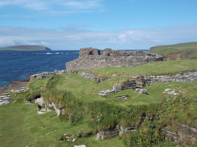
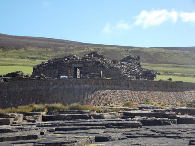
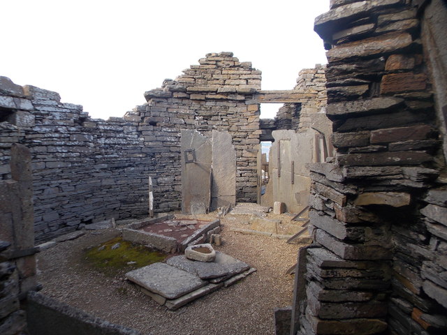
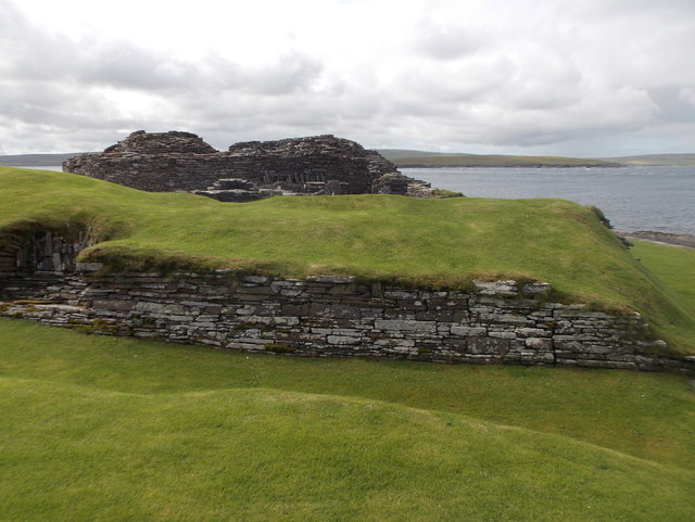
Midhowe Broch
Midhowe Broch () is an Iron Age broch located on the west coast of the island of Rousay in the Orkney Islands, in Scotland. == Description == Midhowe...

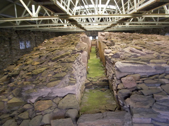
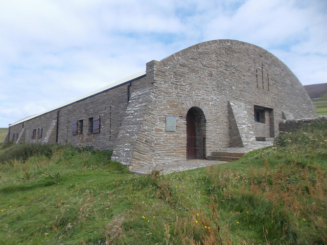
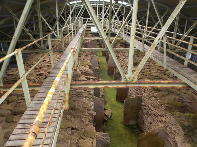
Midhowe Chambered Cairn
Midhowe Chambered Cairn is a large Neolithic chambered cairn located on the south shore of the island of Rousay, Orkney, Scotland. The name "Midhowe" comes...

Knowe of Swandro
The Knowe of Swandro is an archaeological site located on the Bay of Swandro on Rousay in Orkney, Scotland. The site consists of a 5000-year-old Neolithic...

Eynhallow
Eynhallow (Scots: Eynhallow; Old Norse: Eyinhelga; Norn: Øjinhellig) is a small, presently uninhabited island, part of Orkney, off the north coast of mainland...
Eynhallow Church
Eynhallow Church is a ruined medieval church located on the uninhabited island of Eynhallow in Orkney, Scotland. The church dates back to the 12th-century...
Muckle Water
Muckle Water is a long, narrow fresh water loch on Ward Hill on Rousay, Orkney, Scotland. It is the biggest loch on the island and is popular for fishing...

Eynhallow Sound
Eynhallow Sound is a seaway lying between Mainland Orkney and the island of Rousay in the Orkney Islands, Scotland. The tidal indraught is "scarcely felt...

Rousay
Rousay (, Scots: Rousee; Old Norse: Hrólfsey meaning Rolf's Island) is a small, hilly island about 3 km (1.9 mi) north of Mainland, the largest island...
Have you been to Scabra Head?
Leave your review of Scabra Head below (or comments, questions and feedback).