Ha' of Scabra
Island in Orkney
Scotland
Ha' of Scabra
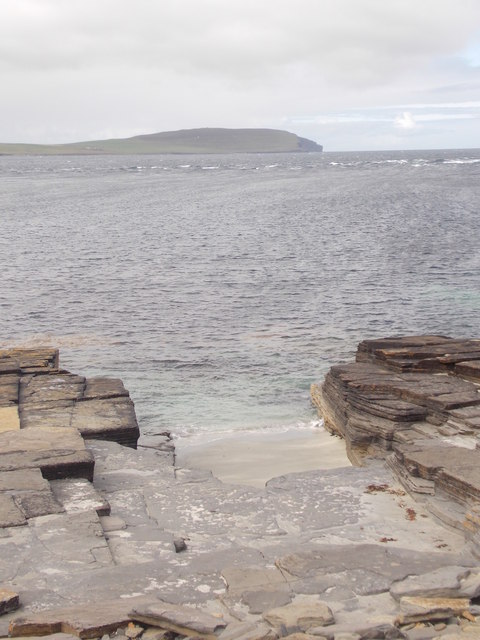
Ha' of Scabra is a small island located in the Orkney archipelago, off the northeastern coast of Scotland. With its picturesque landscape and rich history, it has become a popular destination for tourists and nature enthusiasts alike.
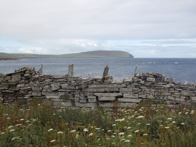
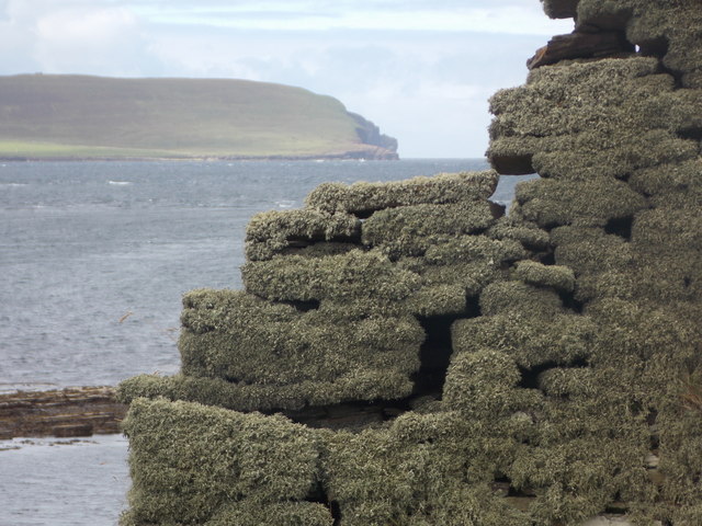
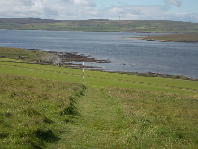
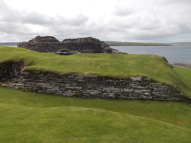
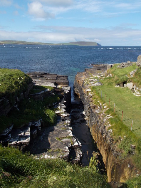
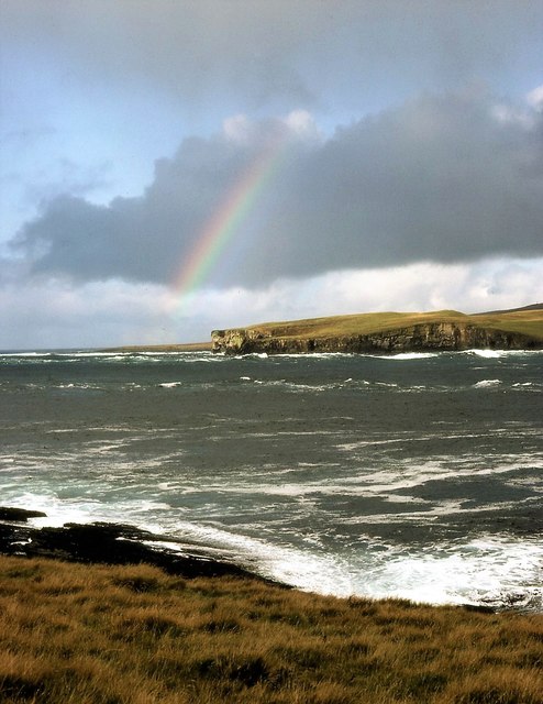
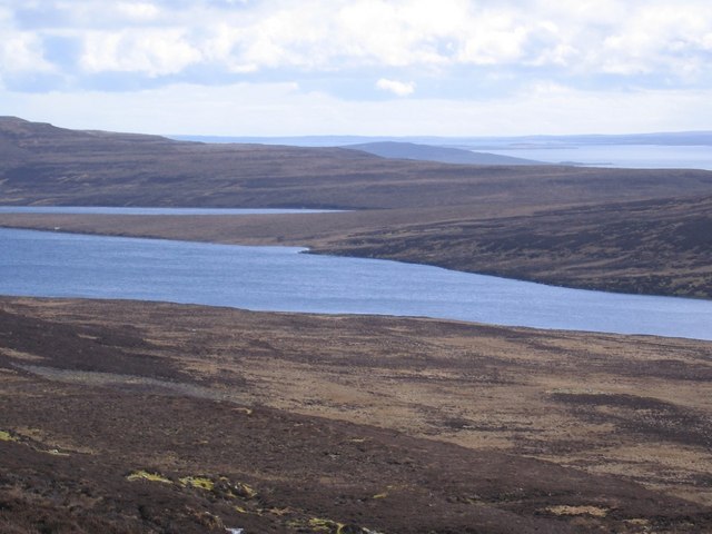
Covered in rolling hills and lush greenery, Ha' of Scabra offers breathtaking views of the surrounding sea and neighboring islands. It is home to a diverse range of flora and fauna, including seabirds, seals, and even occasional sightings of whales and dolphins. The island's pristine beaches and rugged coastline provide ample opportunities for outdoor activities such as hiking, birdwatching, and beachcombing.
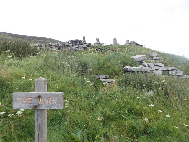
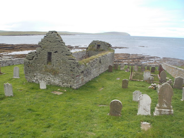
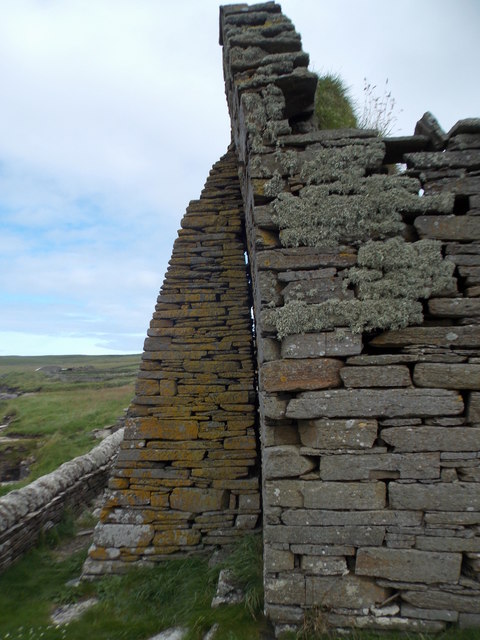
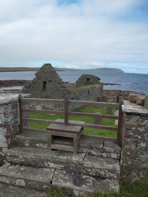
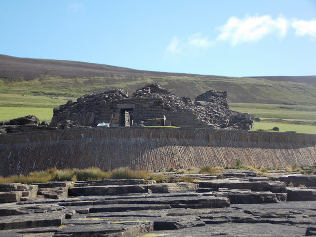
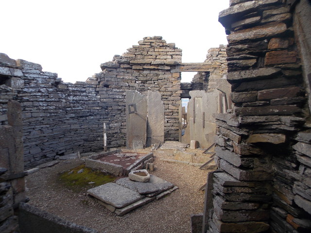
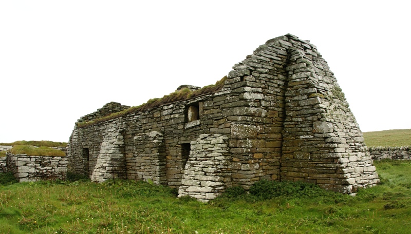
Historically, Ha' of Scabra has played a significant role in Orkney's maritime heritage. The island was once used as a lookout point for spotting incoming ships and served as a vital navigational aid for seafarers. Remnants of old buildings and structures, including a stone tower known as "The Ha'," can still be found on the island, serving as a reminder of its past.
Access to Ha' of Scabra is limited, and visitors can only reach the island by boat. Due to its protected status, there are no permanent residents, infrastructure, or tourist facilities on the island. However, day trips are available from nearby mainland towns, allowing visitors to explore the island's natural beauty and immerse themselves in its tranquil atmosphere.
Overall, Ha' of Scabra offers a unique and unspoiled experience for those seeking solitude and natural beauty. Its rugged landscapes, rich history, and abundant wildlife make it a must-visit destination for anyone exploring the Orkney archipelago.
If you have any feedback on the listing, please let us know in the comments section below.
Ha' of Scabra Images
Images are sourced within 2km of 59.162883/-3.1157752 or Grid Reference HY3631. Thanks to Geograph Open Source API. All images are credited.
Ha' of Scabra is located at Grid Ref: HY3631 (Lat: 59.162883, Lng: -3.1157752)
Unitary Authority: Orkney Islands
Police Authority: Highlands and Islands
What 3 Words
///stubbed.itself.caressed. Near Evie, Orkney Islands
Nearby Locations
Related Wikis

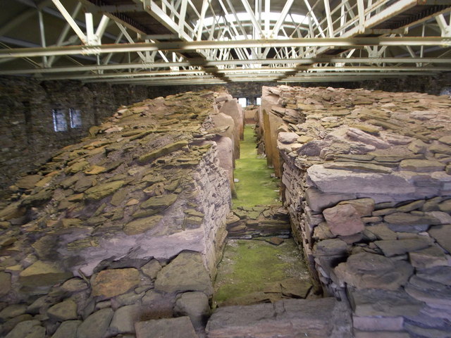
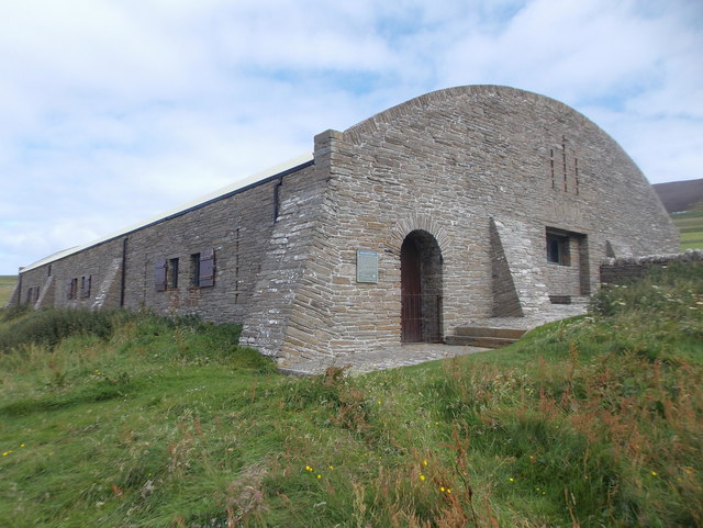
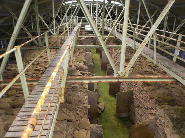
Midhowe Broch
Midhowe Broch () is an Iron Age broch located on the west coast of the island of Rousay in the Orkney Islands, in Scotland. == Description == Midhowe...

Midhowe Chambered Cairn
Midhowe Chambered Cairn is a large Neolithic chambered cairn located on the south shore of the island of Rousay, Orkney, Scotland. The name "Midhowe" comes...

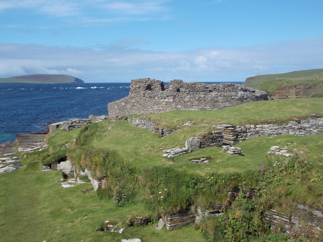
Knowe of Swandro
The Knowe of Swandro is an archaeological site located on the Bay of Swandro on Rousay in Orkney, Scotland. The site consists of a 5000-year-old Neolithic...

Eynhallow
Eynhallow (Scots: Eynhallow; Old Norse: Eyinhelga; Norn: Øjinhellig) is a small, presently uninhabited island, part of Orkney, off the north coast of mainland...
Eynhallow Church
Eynhallow Church is a ruined medieval church located on the uninhabited island of Eynhallow in Orkney, Scotland. The church dates back to the 12th-century...
Muckle Water
Muckle Water is a long, narrow fresh water loch on Ward Hill on Rousay, Orkney, Scotland. It is the biggest loch on the island and is popular for fishing...

Eynhallow Sound
Eynhallow Sound is a seaway lying between Mainland Orkney and the island of Rousay in the Orkney Islands, Scotland. The tidal indraught is "scarcely felt...

Rousay
Rousay (, Scots: Rousee; Old Norse: Hrólfsey meaning Rolf's Island) is a small, hilly island about 3 km (1.9 mi) north of Mainland, the largest island...
Have you been to Ha' of Scabra?
Leave your review of Ha' of Scabra below (or comments, questions and feedback).